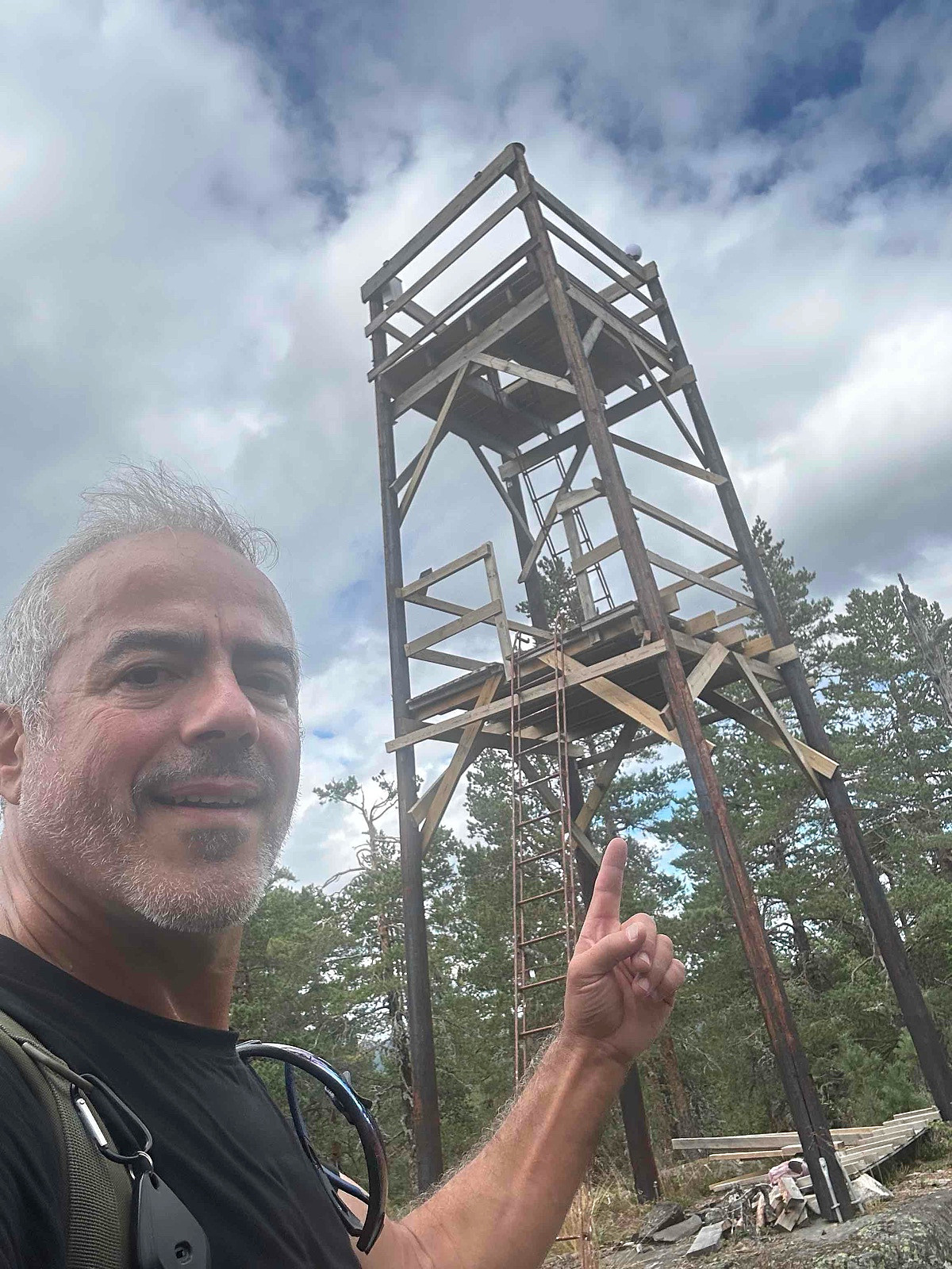
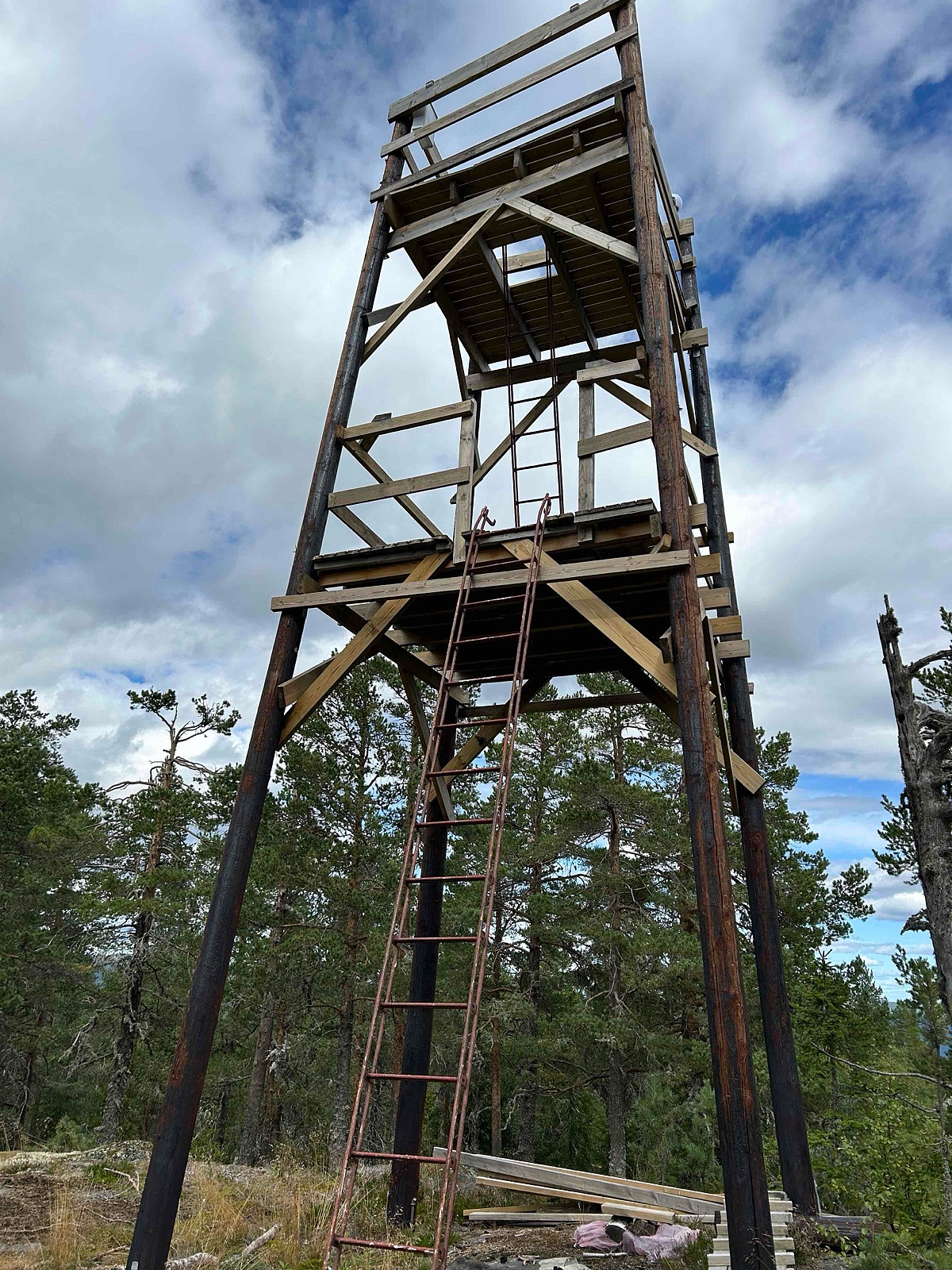
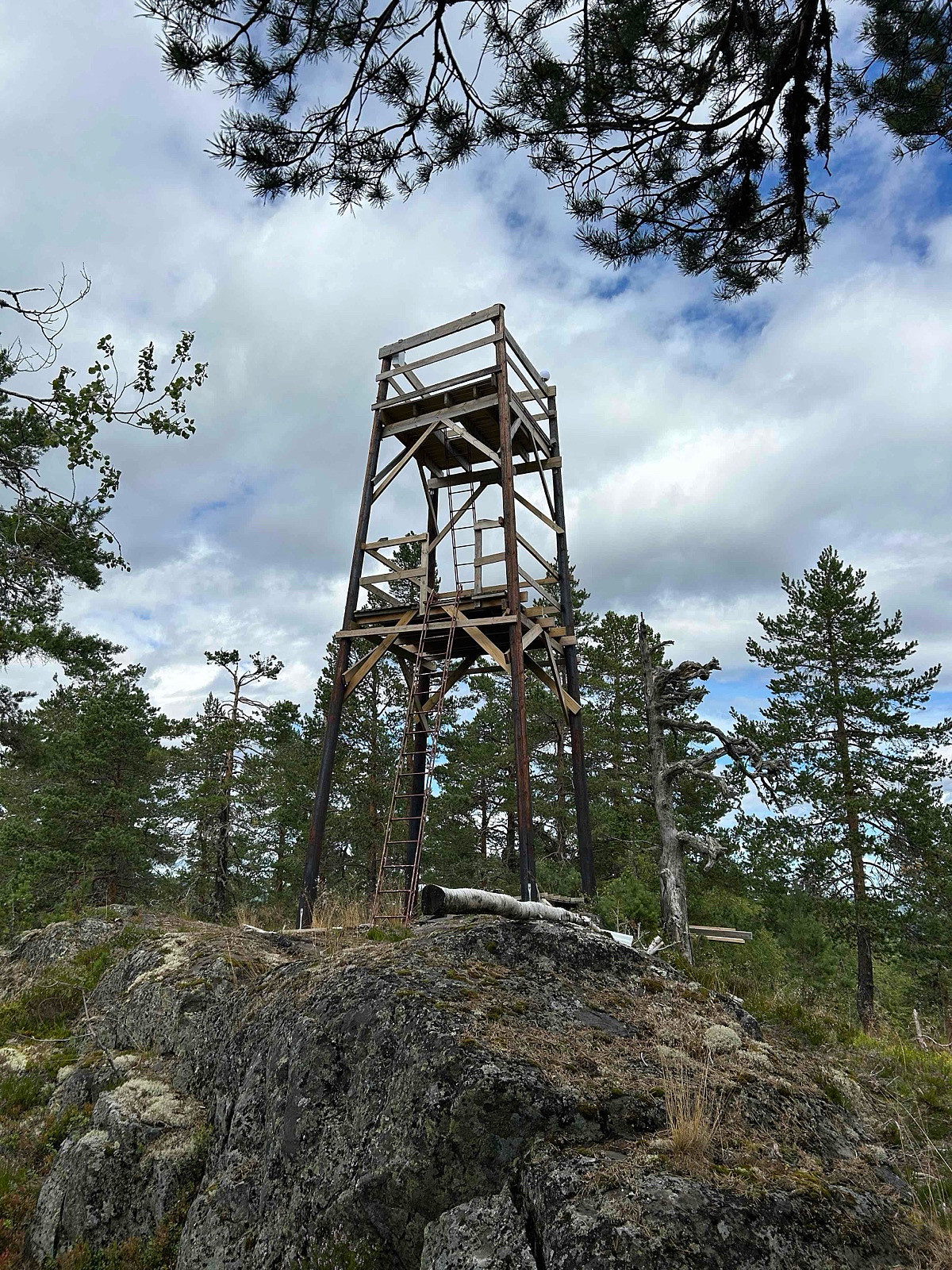
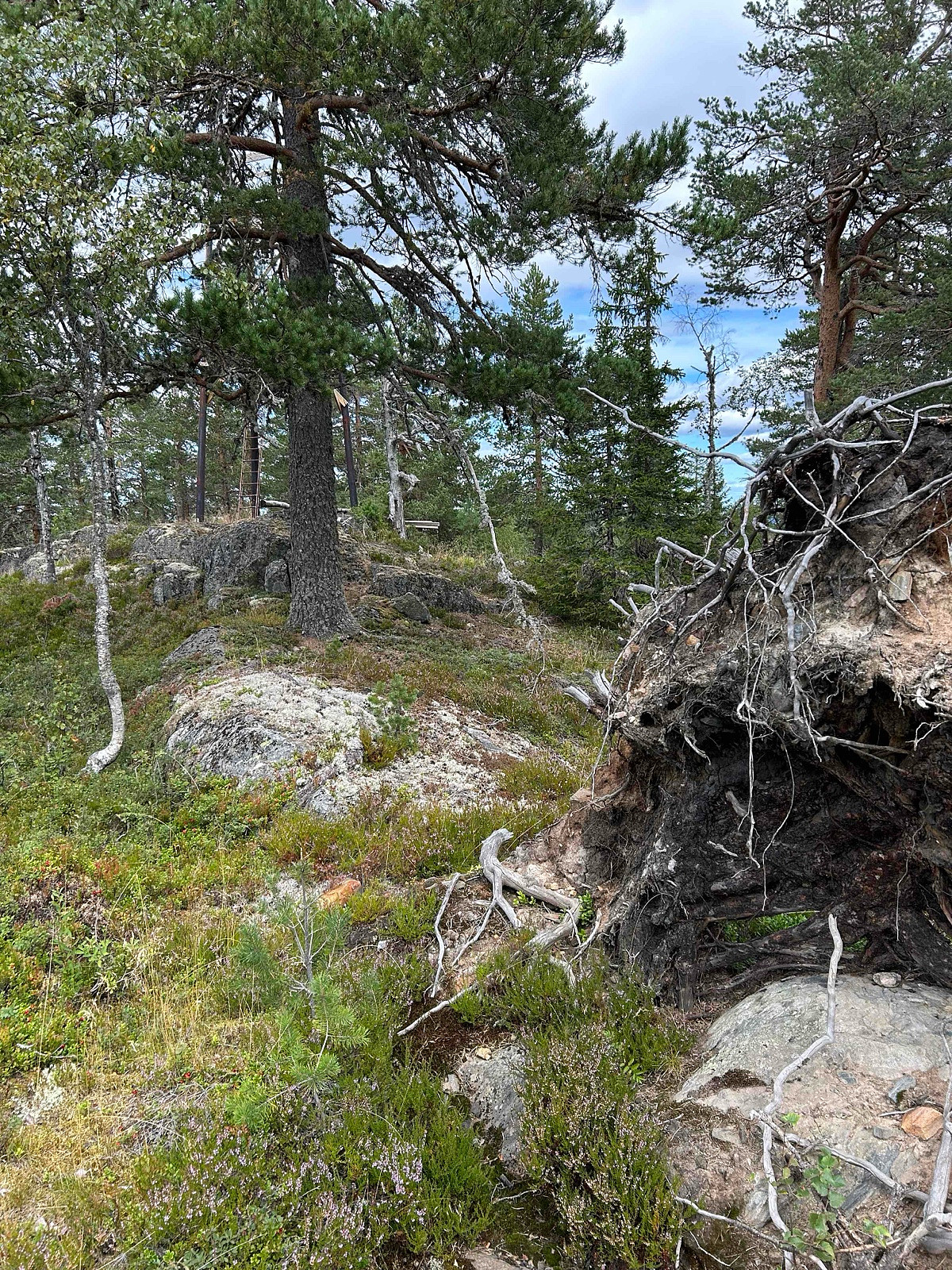
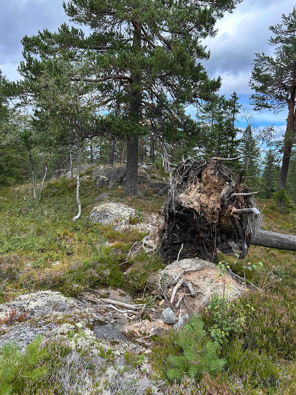
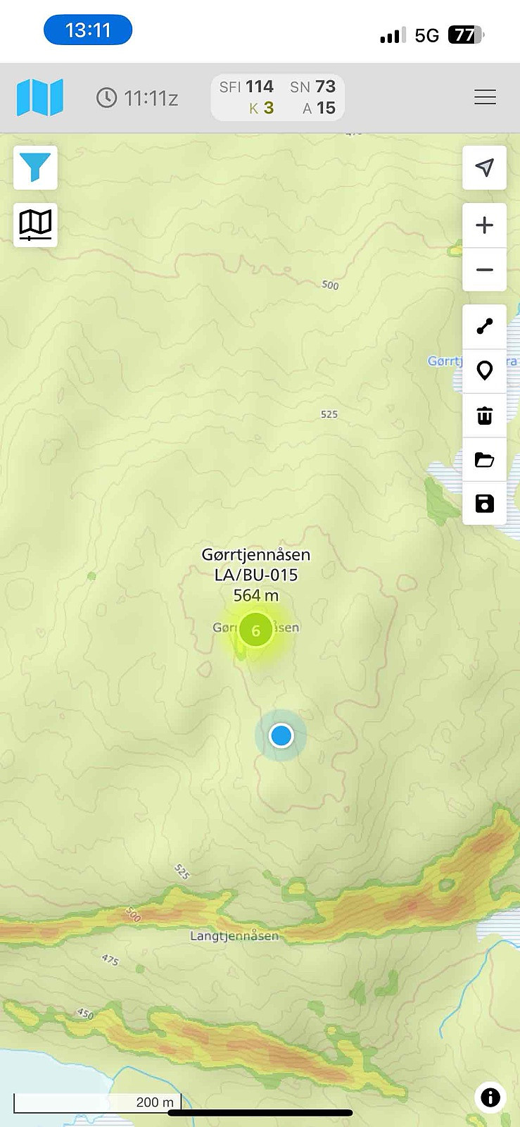
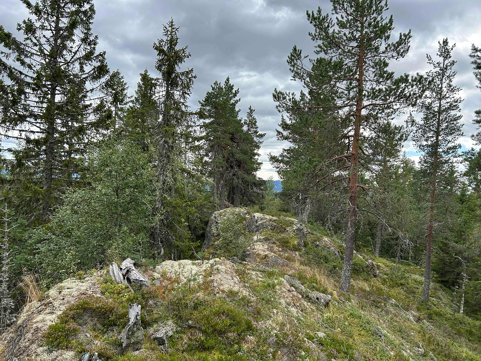
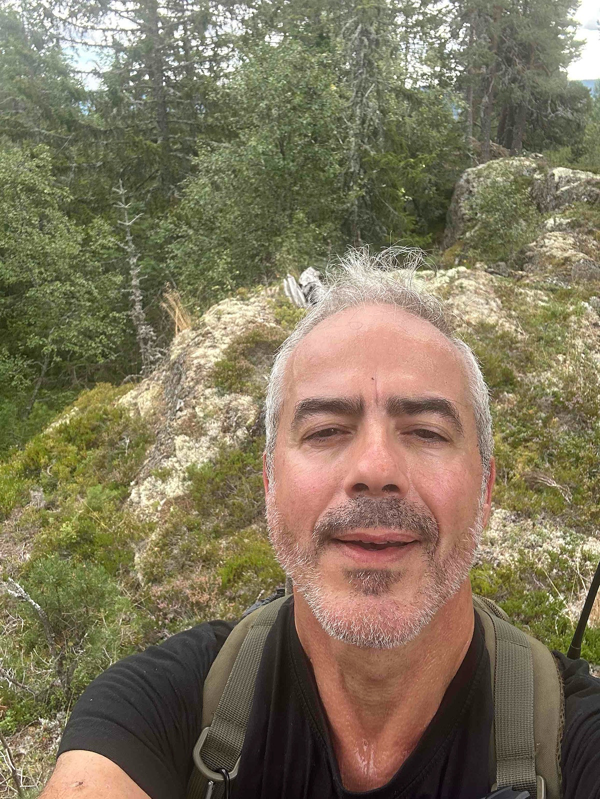
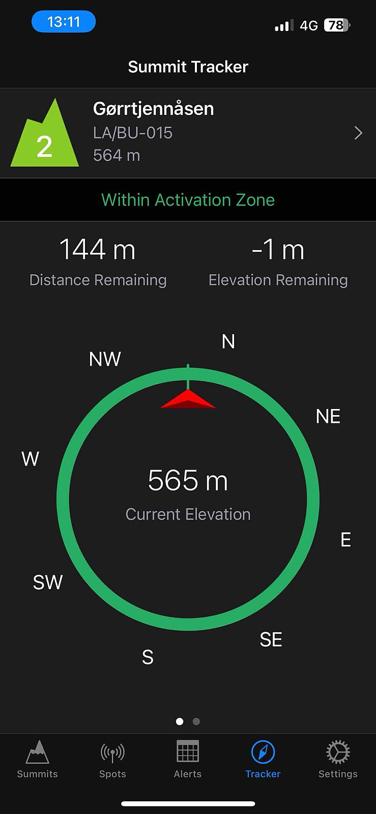
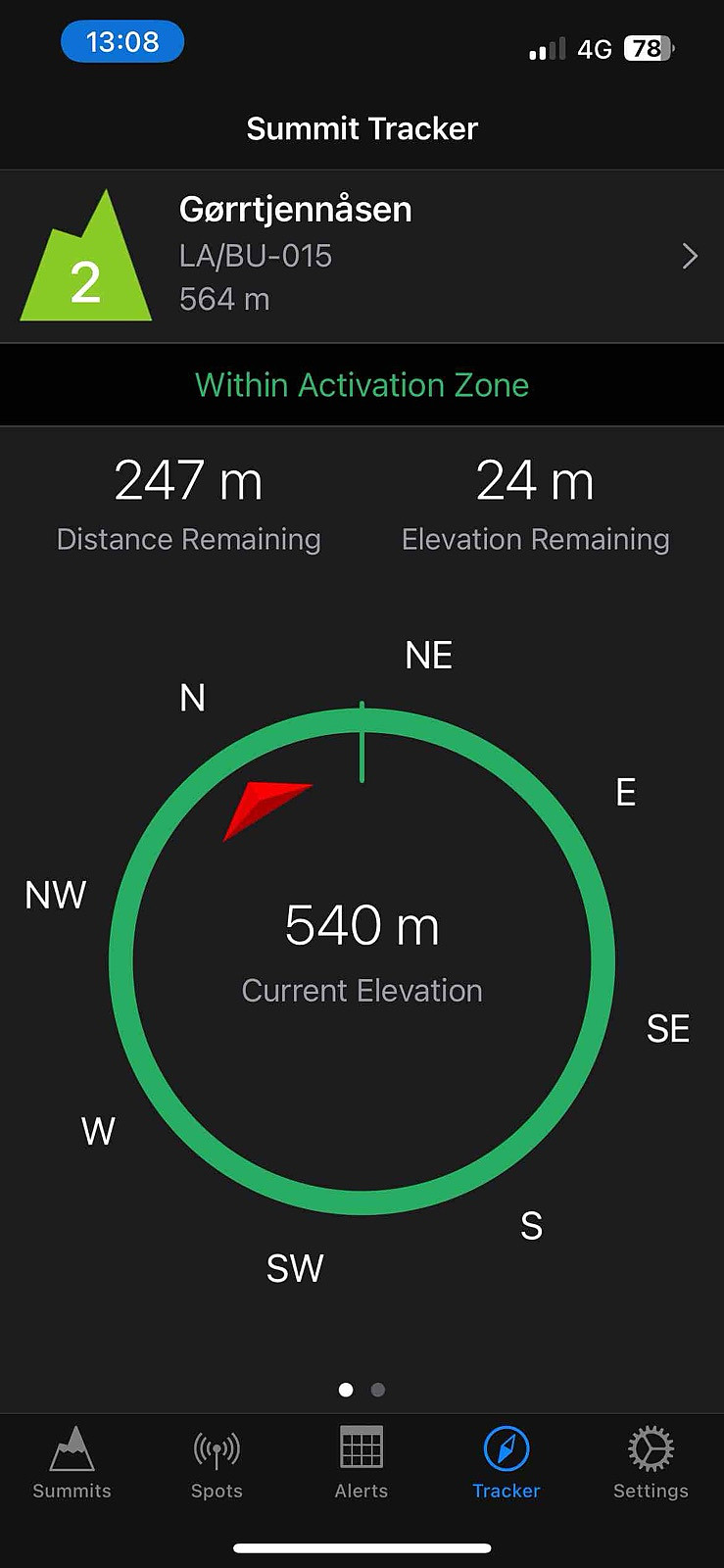
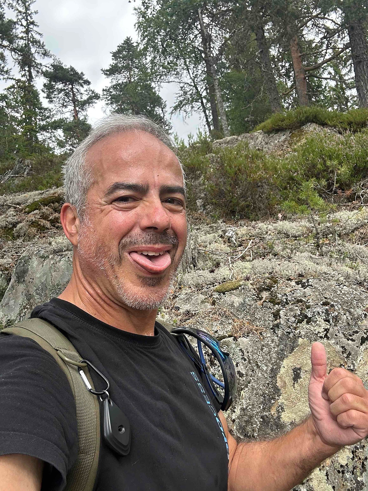
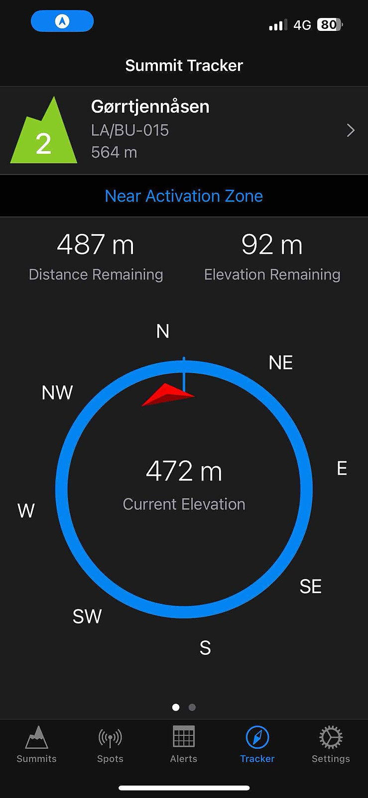
LA/BU-015 Gjørrtjennåsen 564 moh (19.08.2025)


| Startsted | Parkering (206moh) |
|---|---|
| Sluttsted | Toppen (530moh) |
| Turtype | Ekspedisjon |
| Turlengde | 1t 00min |
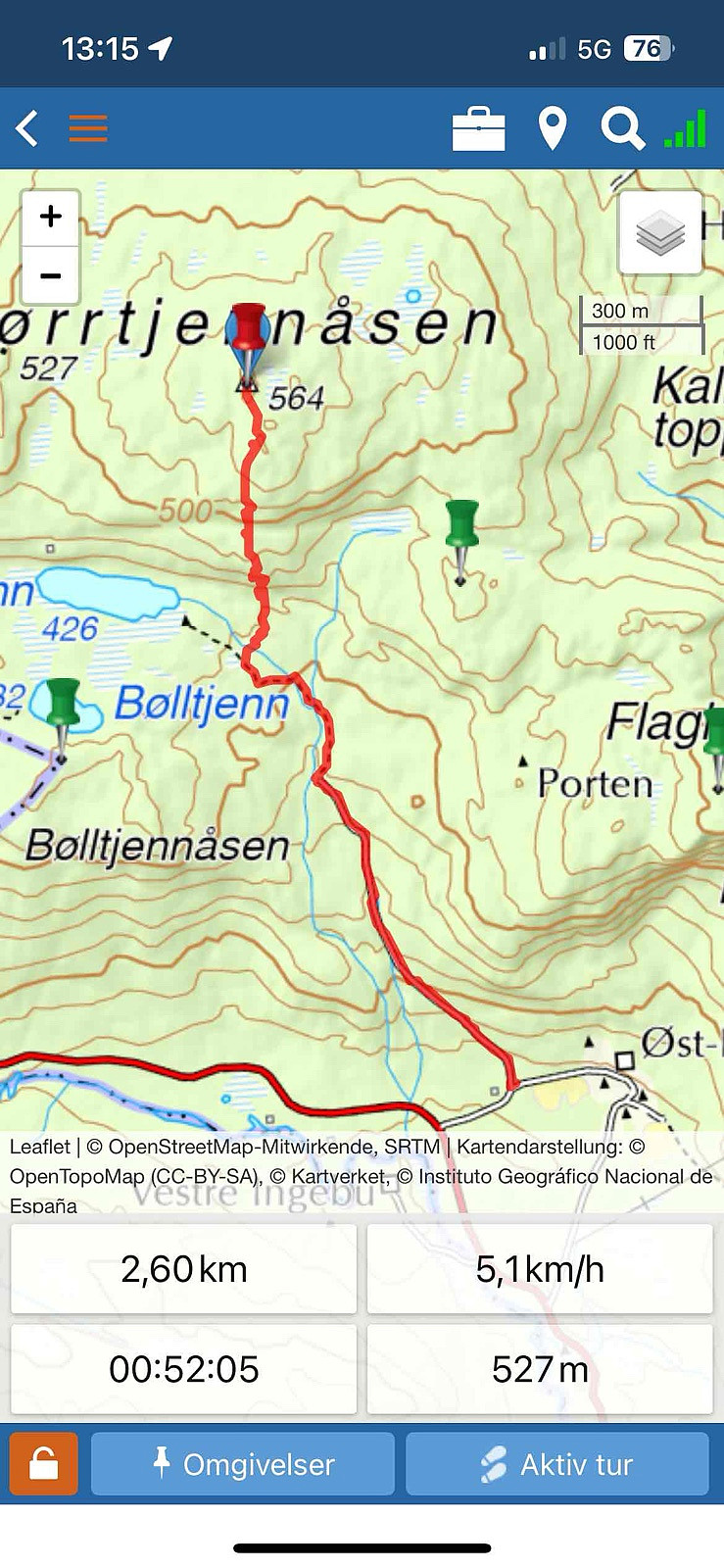
| Distanse | 2,7km |
| Høydemeter | 331m |
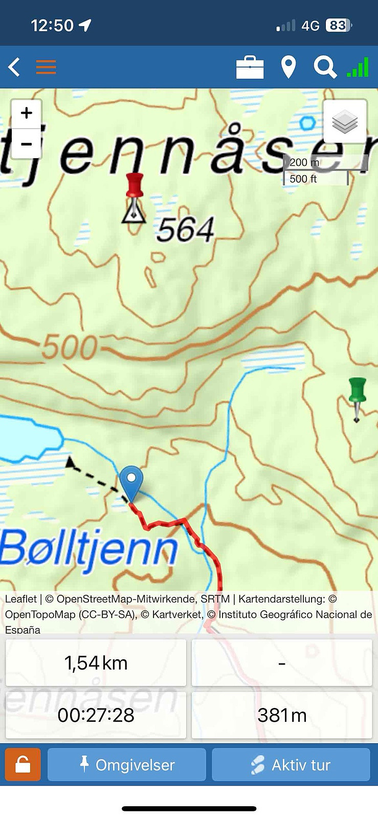
| GPS |
|
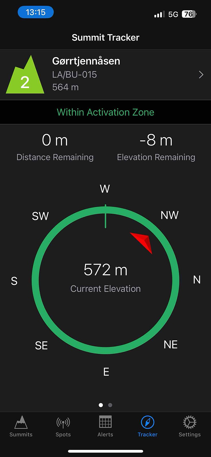
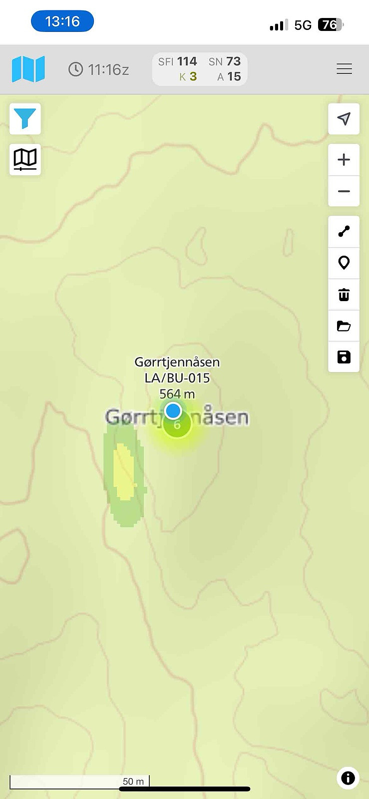
| Bestigninger | Gørrtjennåsen (564moh) | 19.08.2025 13:13 |
|---|
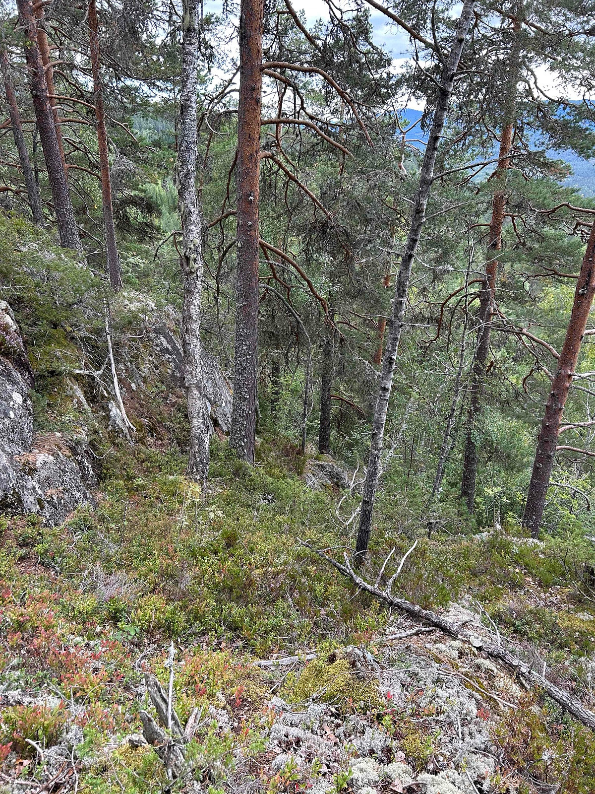
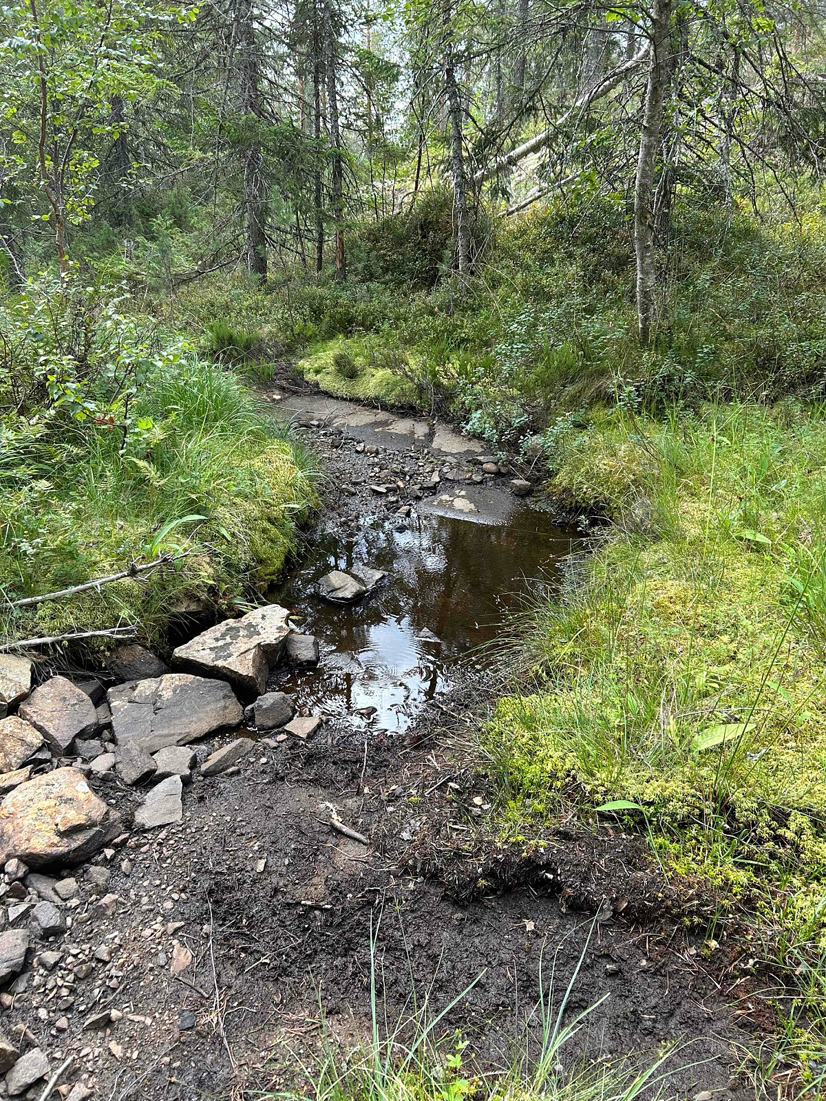
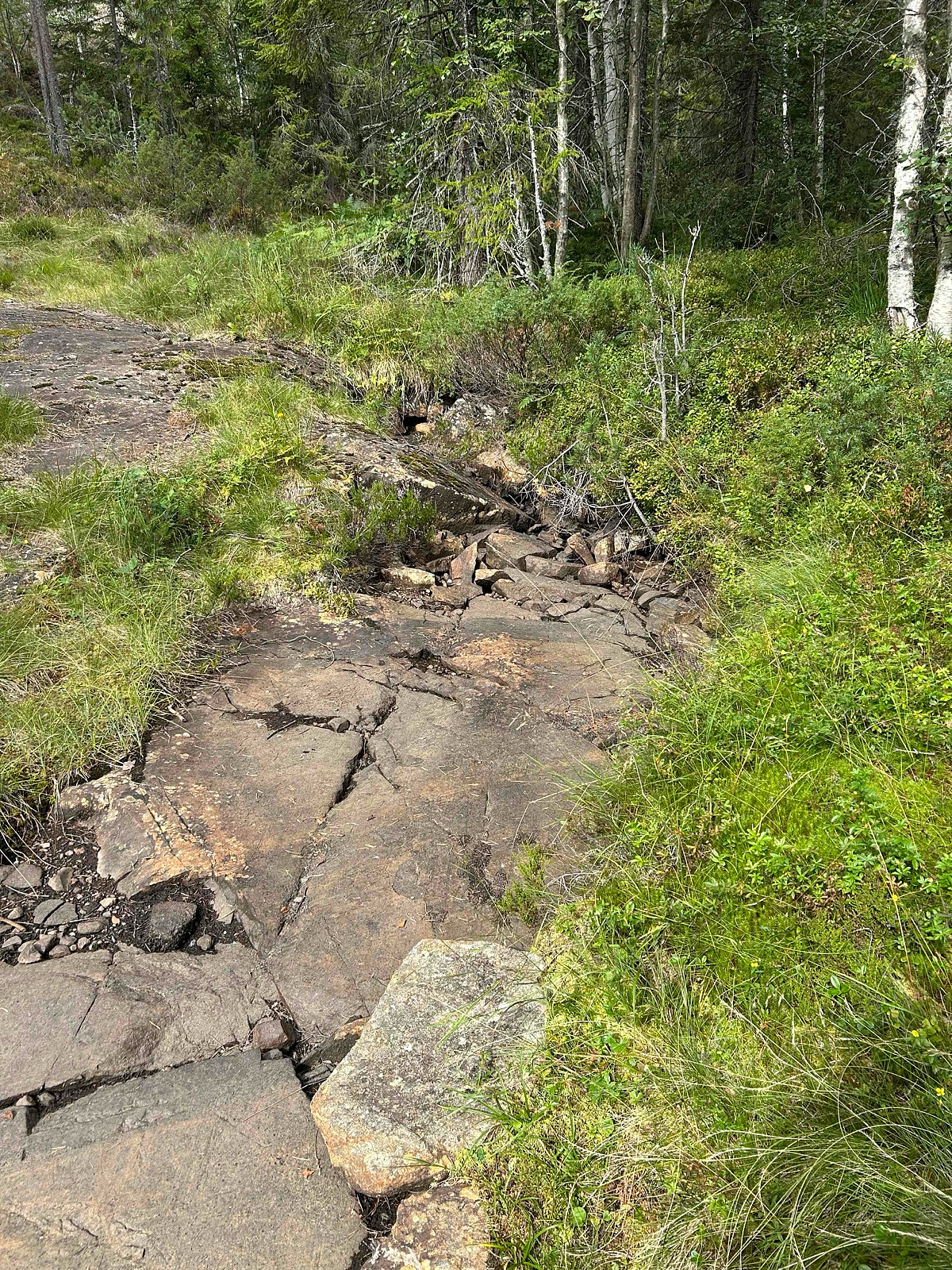
It seems to be several possible routes. After looking around on possible tracks. In winter is probably a bit more difficult, looks like there is a route that is much longer from the right side (Unknown) but I see some other people (not sota related) have taken the route from another side to avoid the high rocks, none done in winter one in 01.11.2024 and no snow.
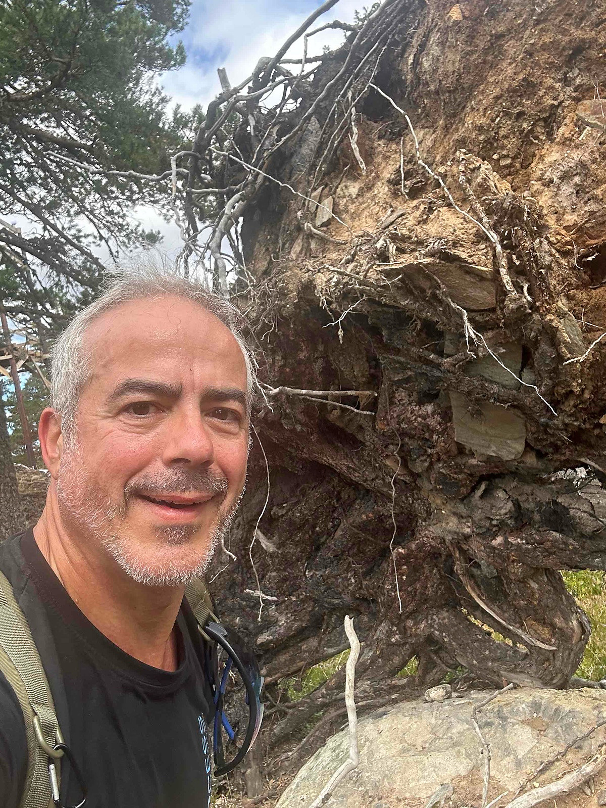
My route came to a point where I had to climb really a lot, on my way down I found another route still very high. I should have taken to the right and go around, but this way I saved about 500 m :)
Distance: abt 5 km t/r
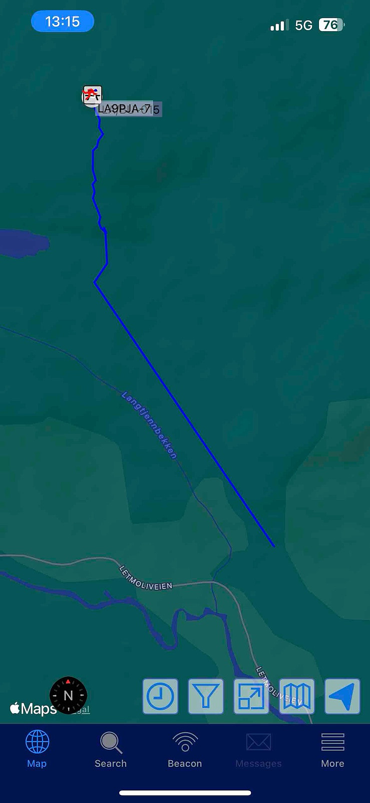
Start: Letmoliveien p-plass (parking).
Summer: Bike / Walk -> Hike up to summit.
Winter: Skiis / Snowshoes -> Yes snowshoes and boots with crampons when is a lot of ice.
Tollroad/Bom: NO - 0 kr (2025)
Equipment: KX3 15w & 1/4~wave Vertical (APRS LA9PJA-7/LA9PJA-9)
Apps / Resources: SOTA Goat, SOTLAS, PeakBook, APRS.FI, QTHnow / POTA, POTA-MAP.fr, AllTrails
- - - -
Photos & Track: Courtesy of LA9PJA :)

Kommentarer