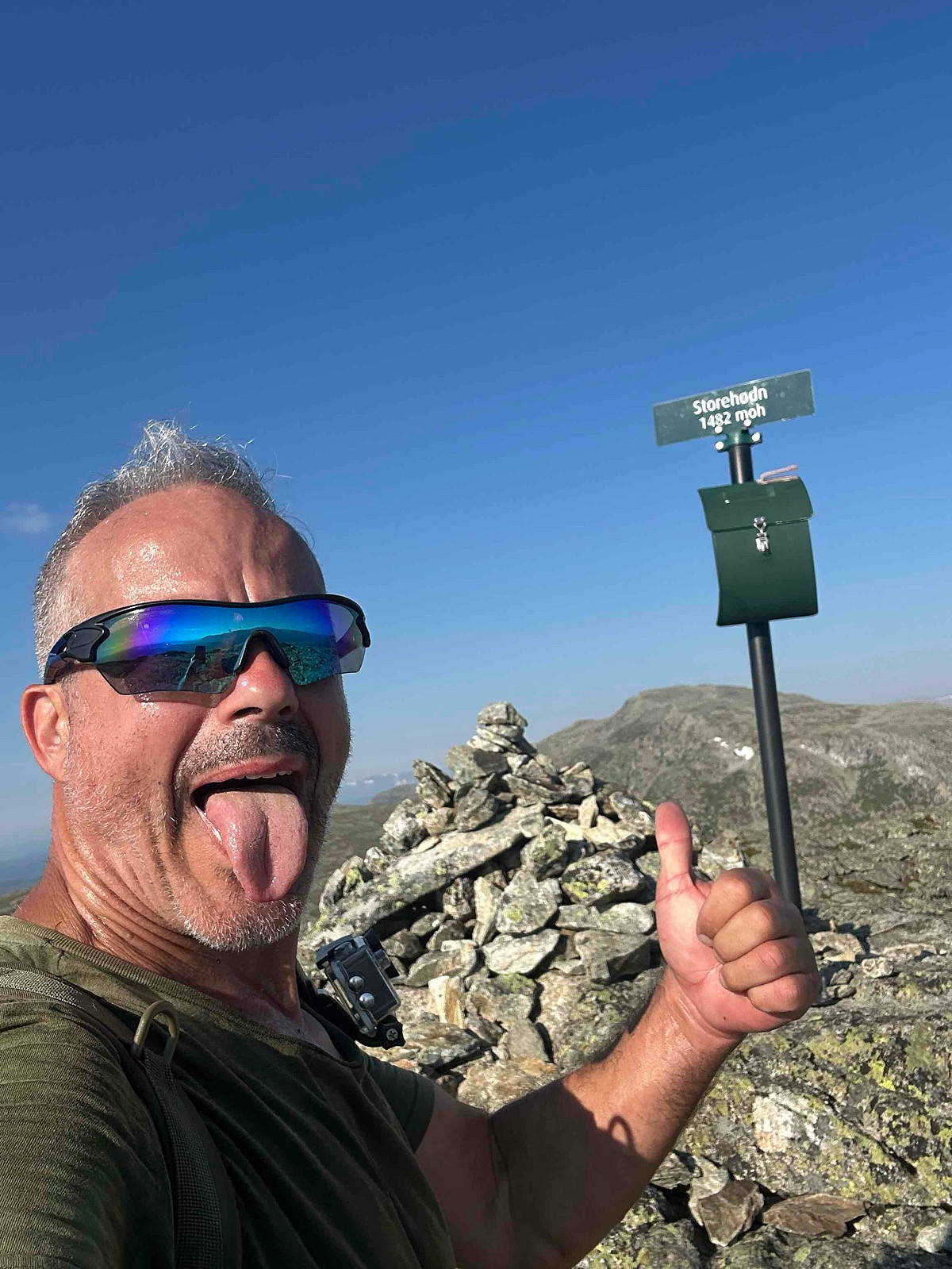
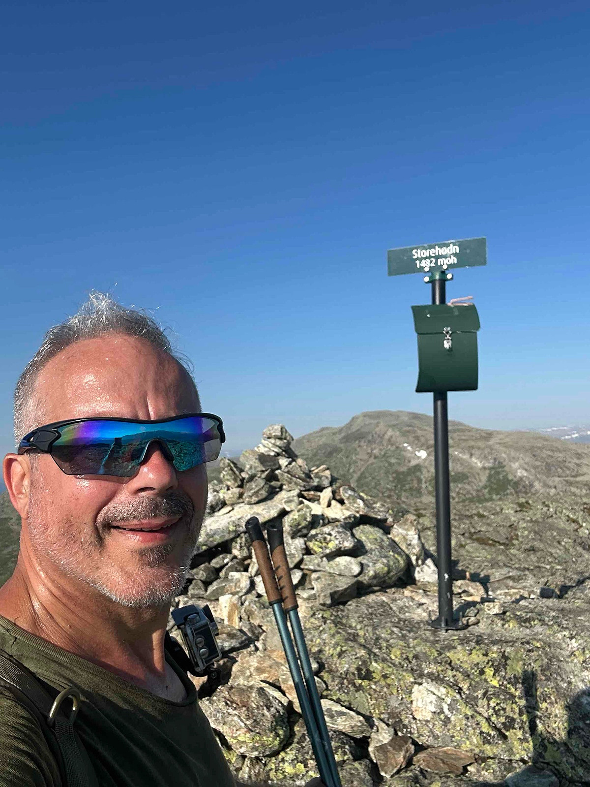
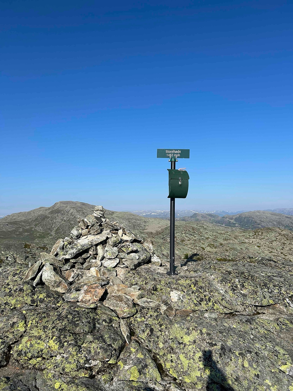
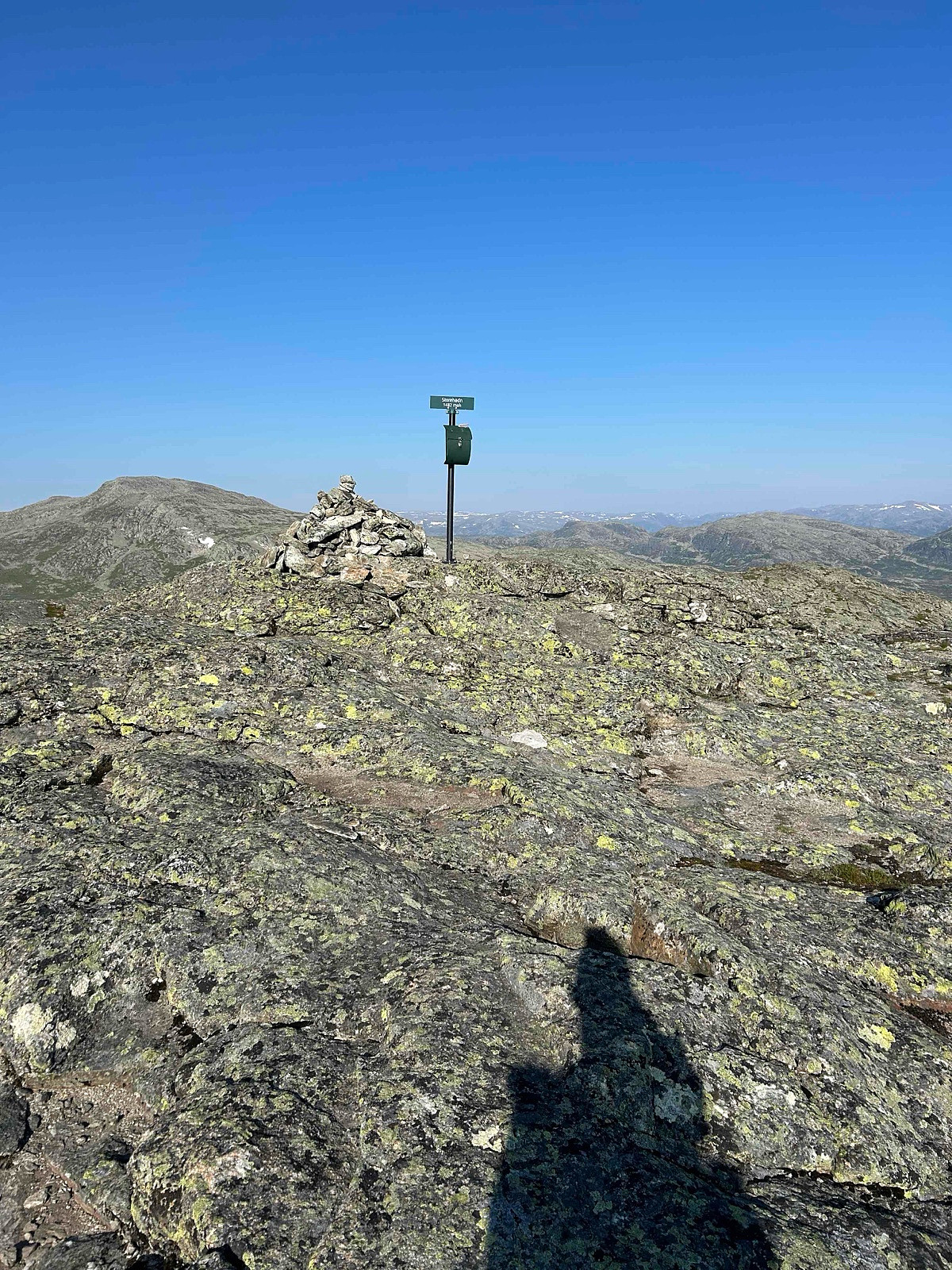
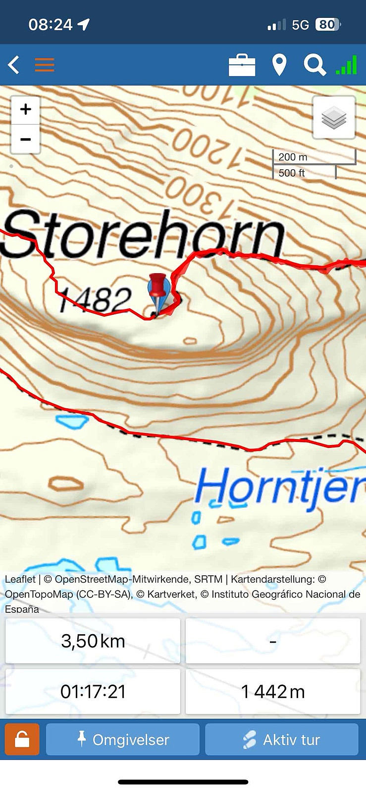
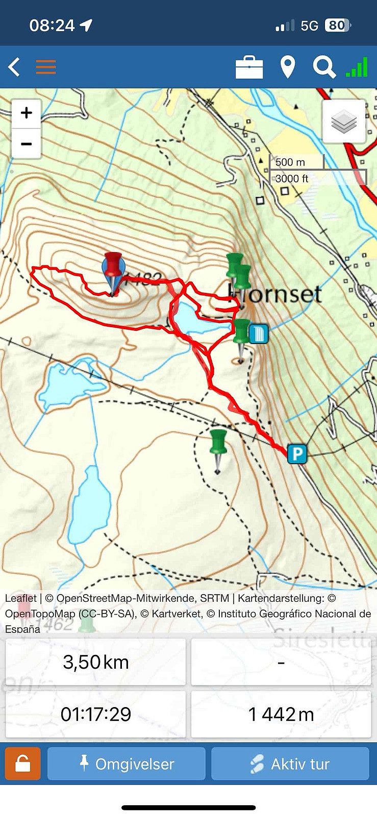
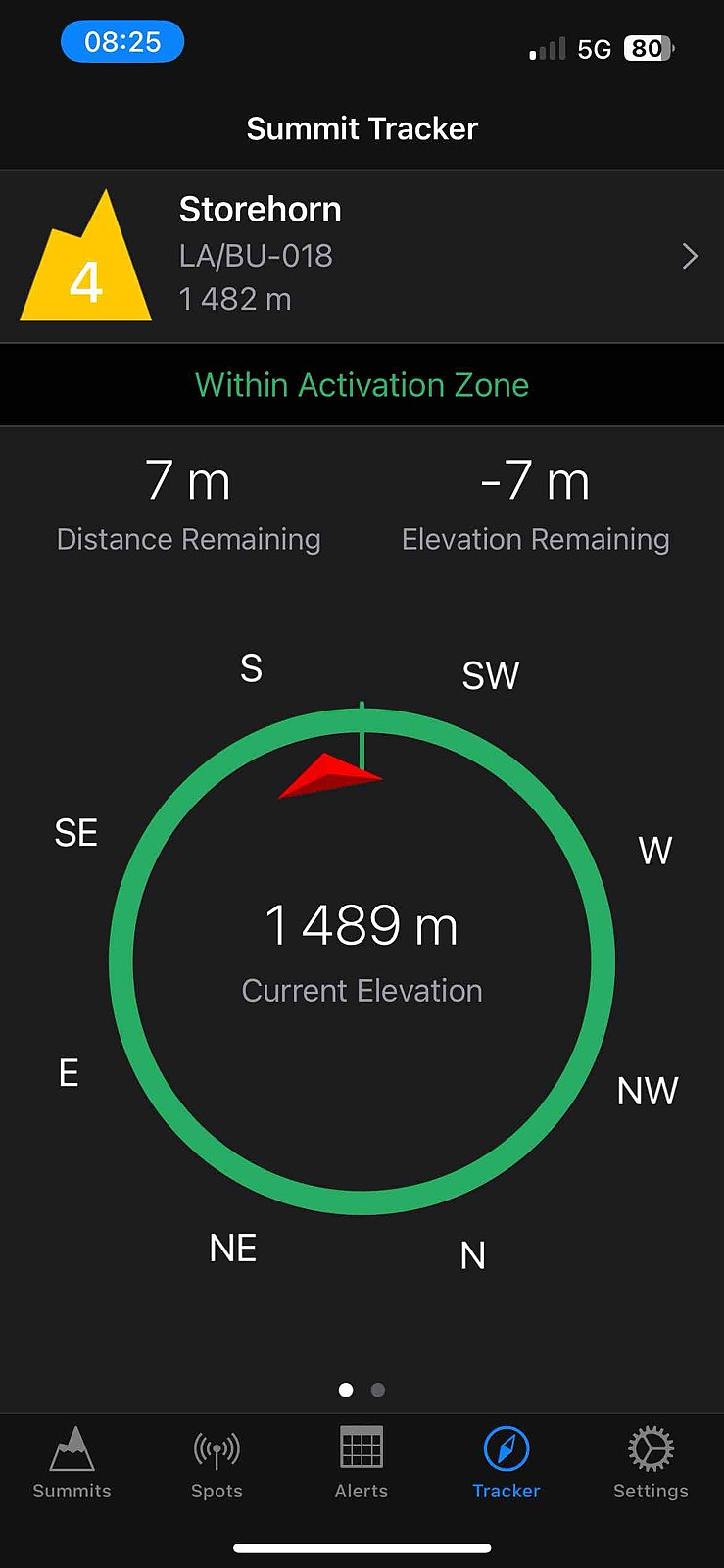
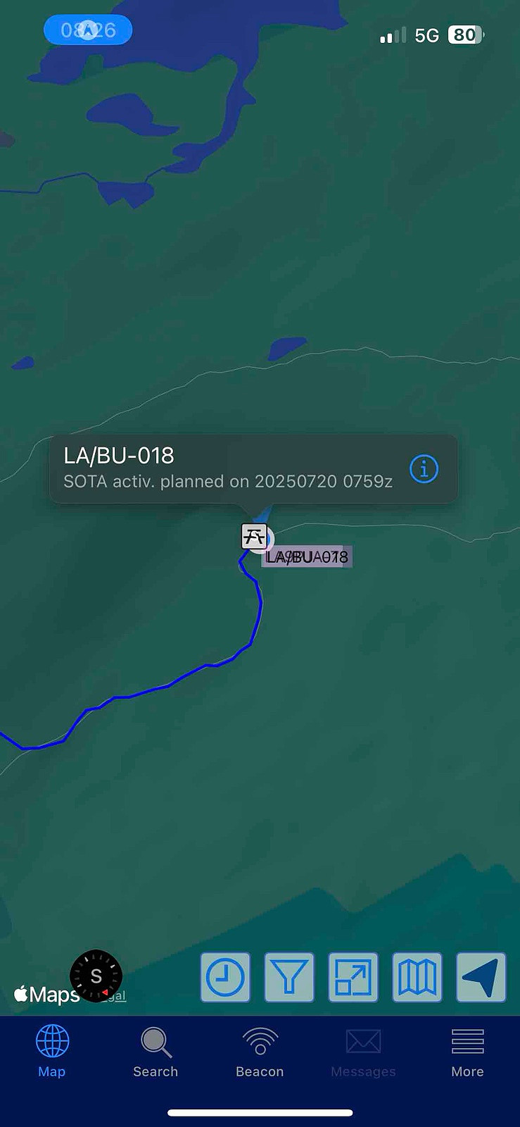
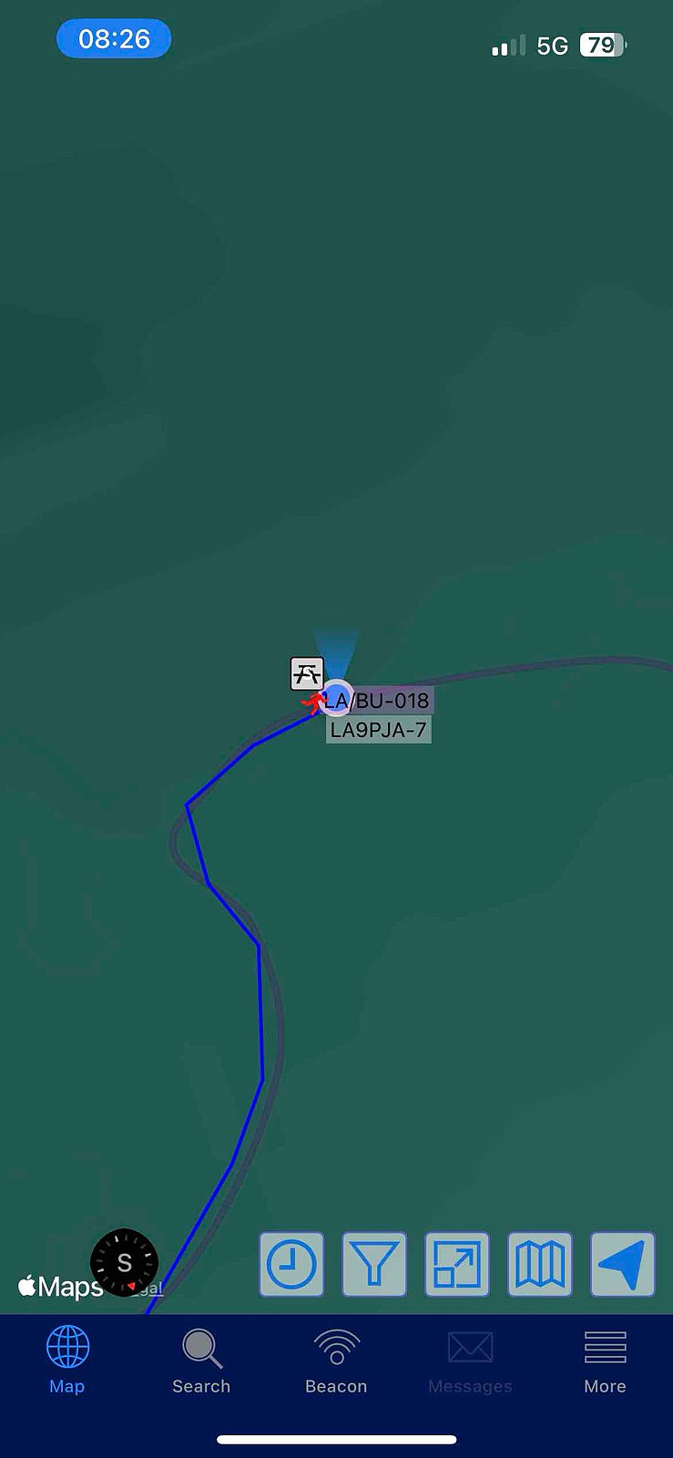
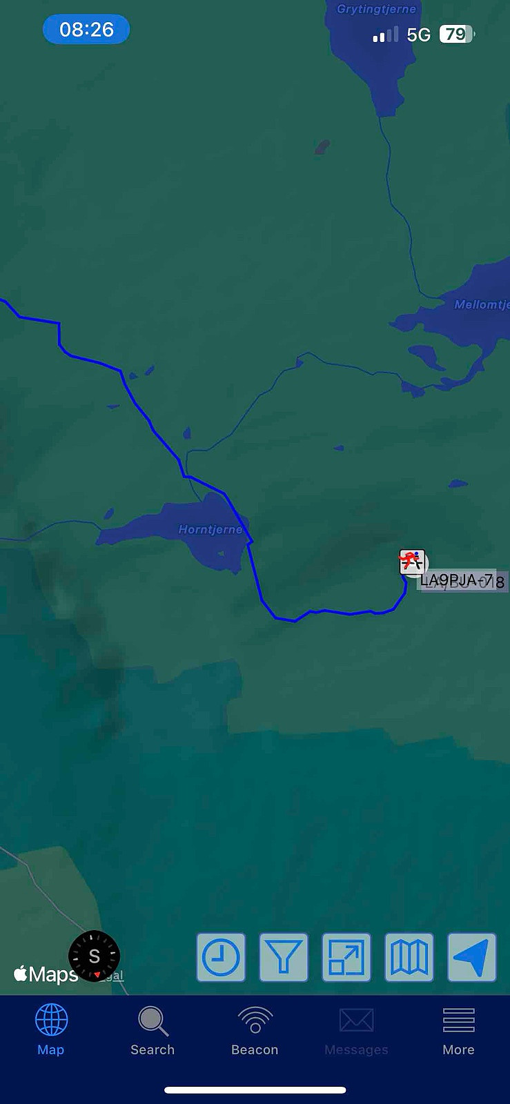
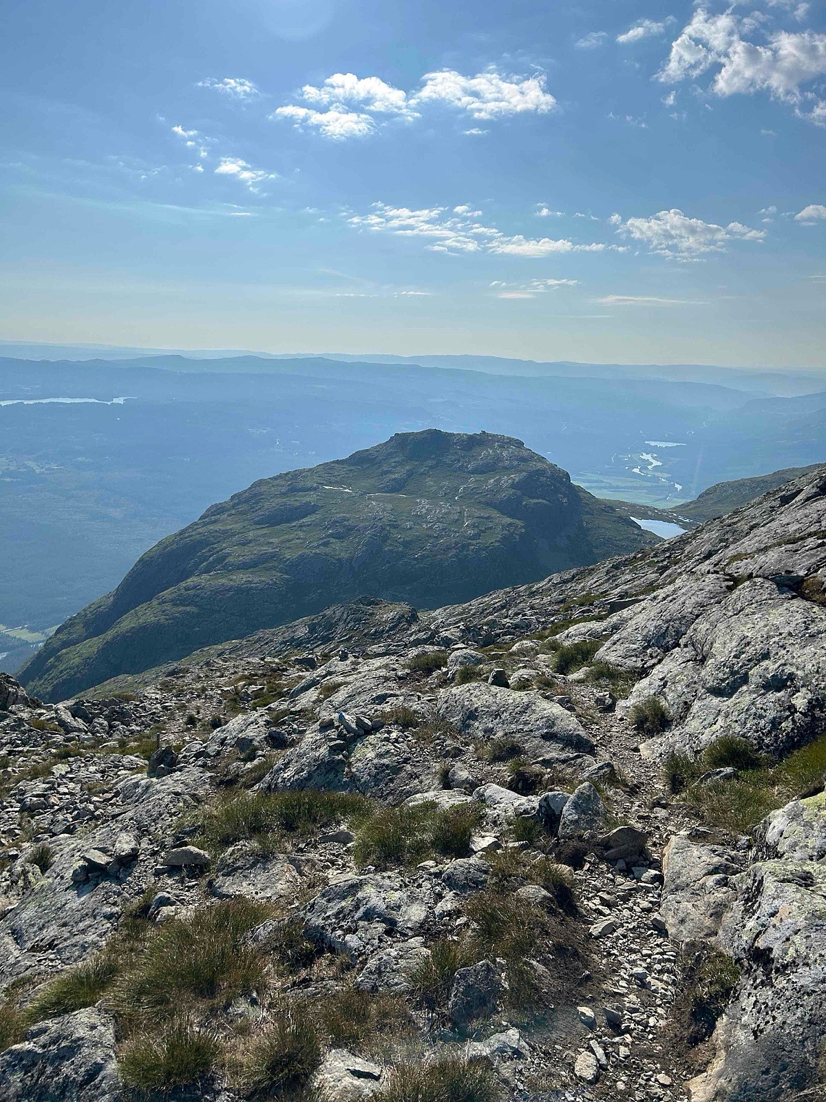
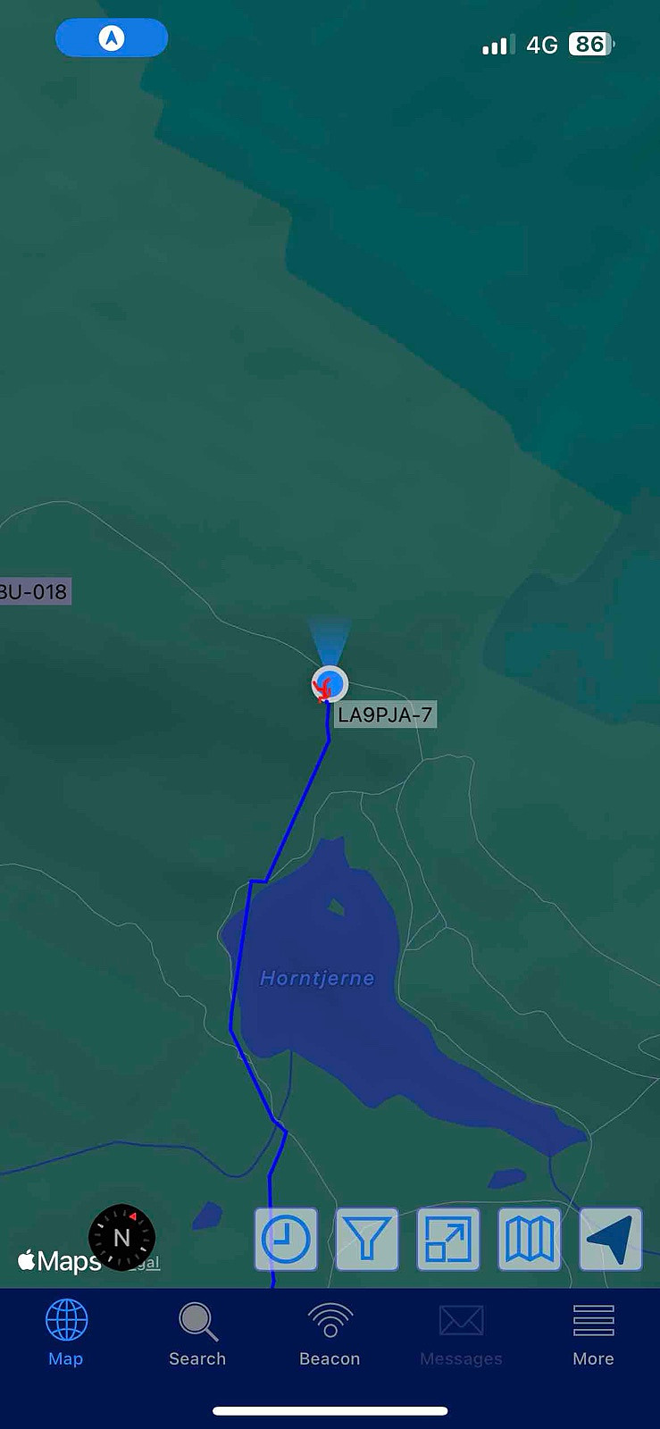
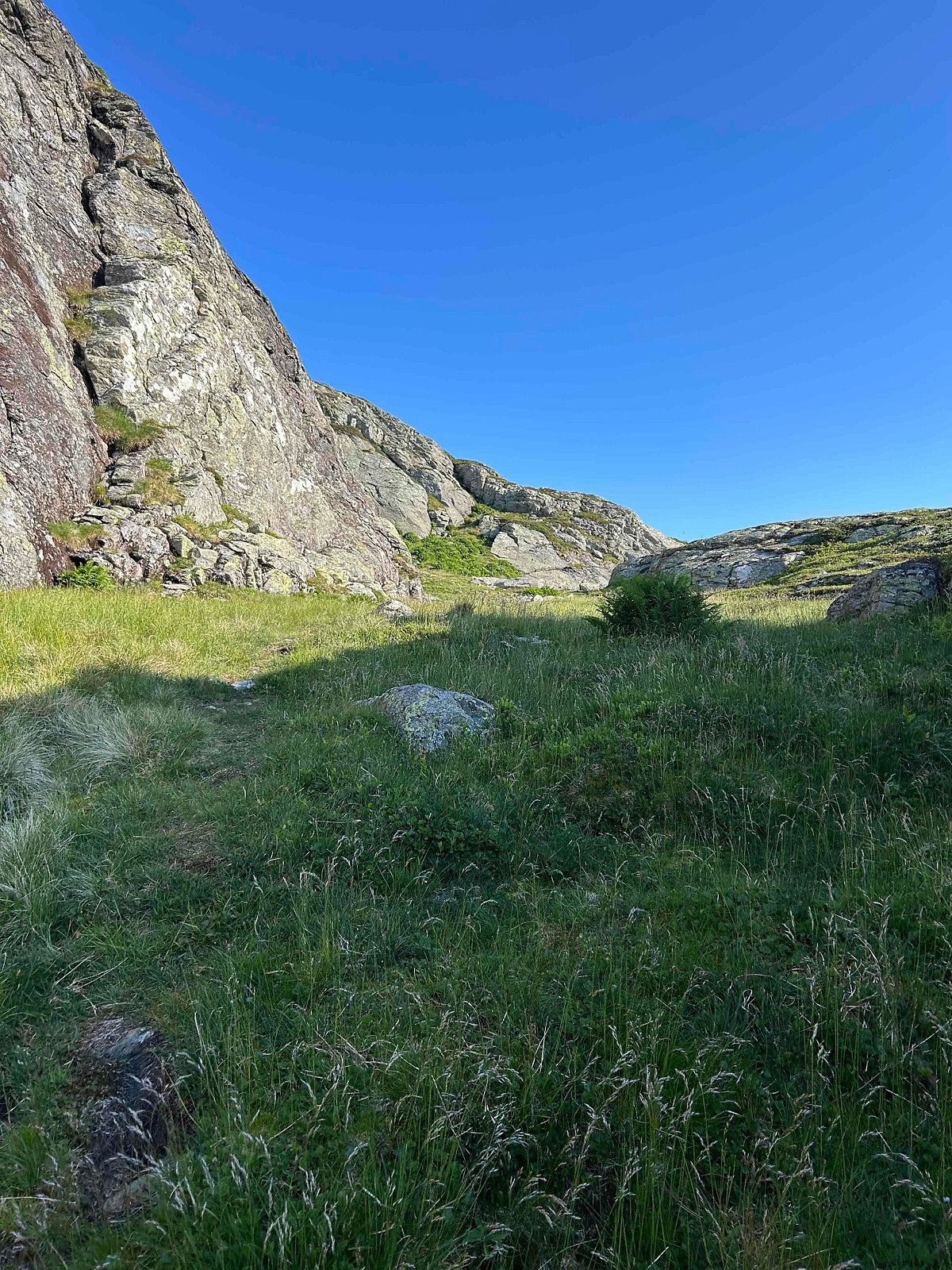
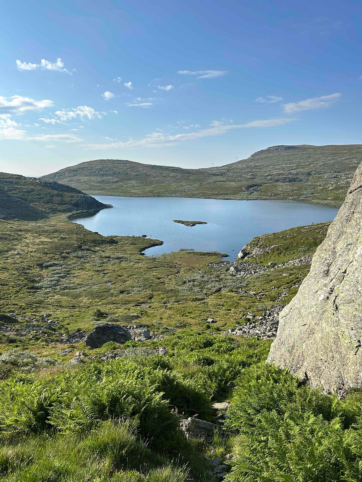
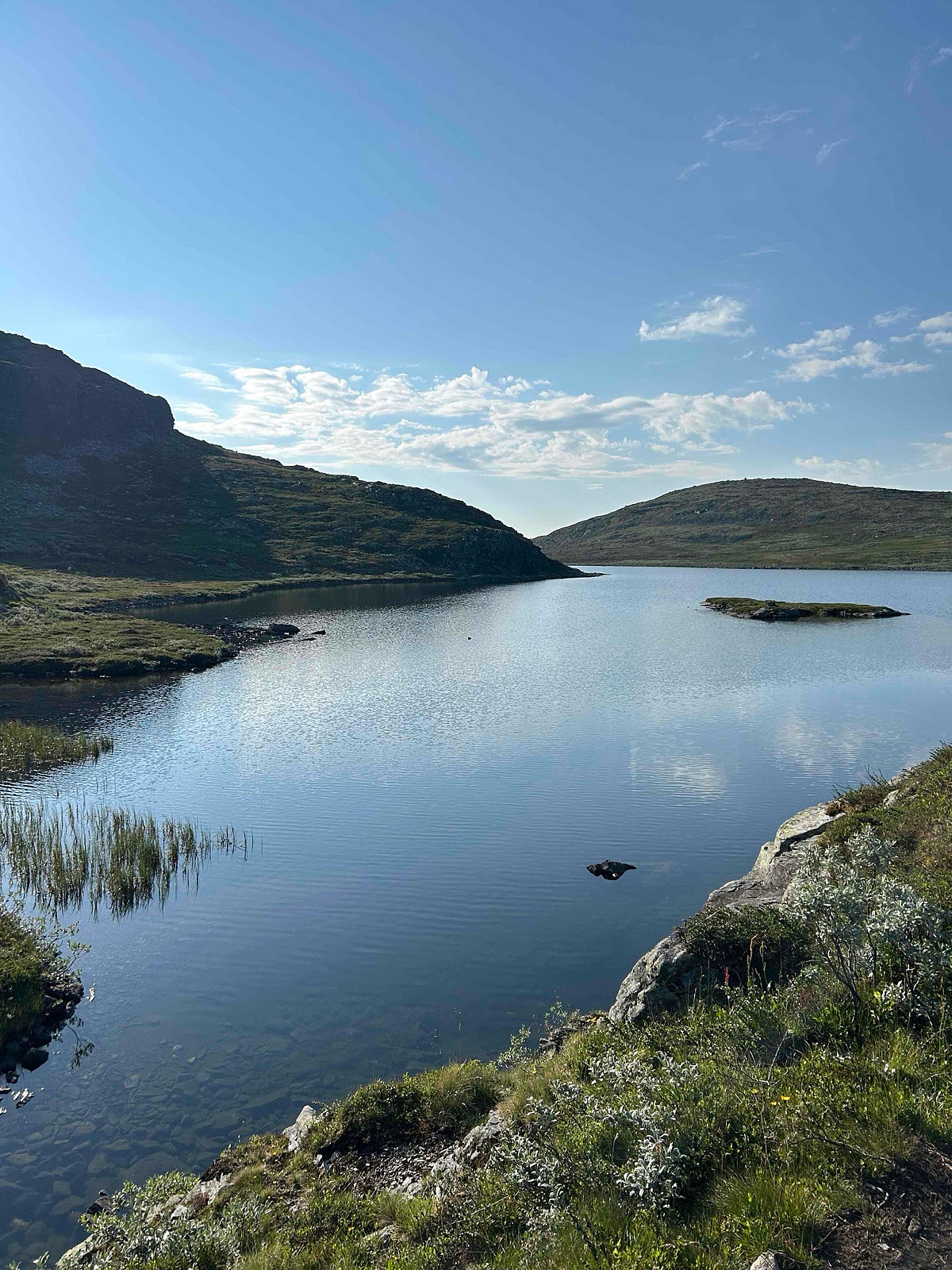
LA/BU-018 Storehorn 1482 moh (20.07.2025)


| Startsted | Parkering (1018moh) |
|---|---|
| Sluttsted | Topoen (1443moh) |
| Turtype | Ekspedisjon |
| Turlengde | 1t 18min |
| Distanse | 3,5km |
| Høydemeter | 495m |
| GPS |
|
| Bestigninger | Sør for Hydnefossen (1257moh) | 20.07.2025 07:37 |
|---|---|---|
| Veslehorn (1300moh) | 20.07.2025 08:18 | |
| Veslehorn - pinakkel i sør (1278moh) | 20.07.2025 08:18 | |
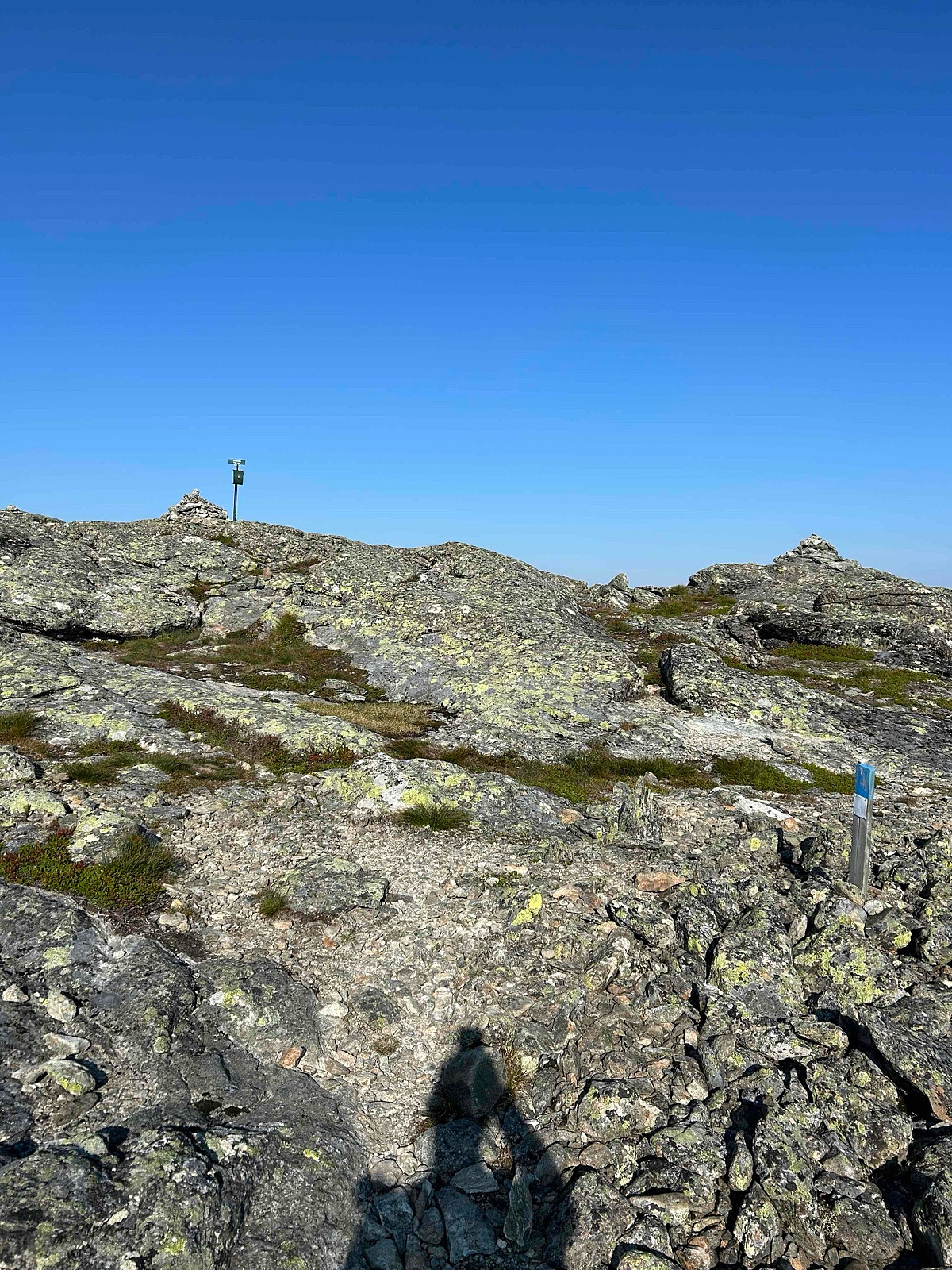
| Storehorn (1482moh) | 20.07.2025 08:23 | |
| Andre besøkte PBE'er | Hornslie p-plass (1055moh) | 20.07.2025 07:10 |
| Hydnefossen (160moh) | 20.07.2025 08:18 |
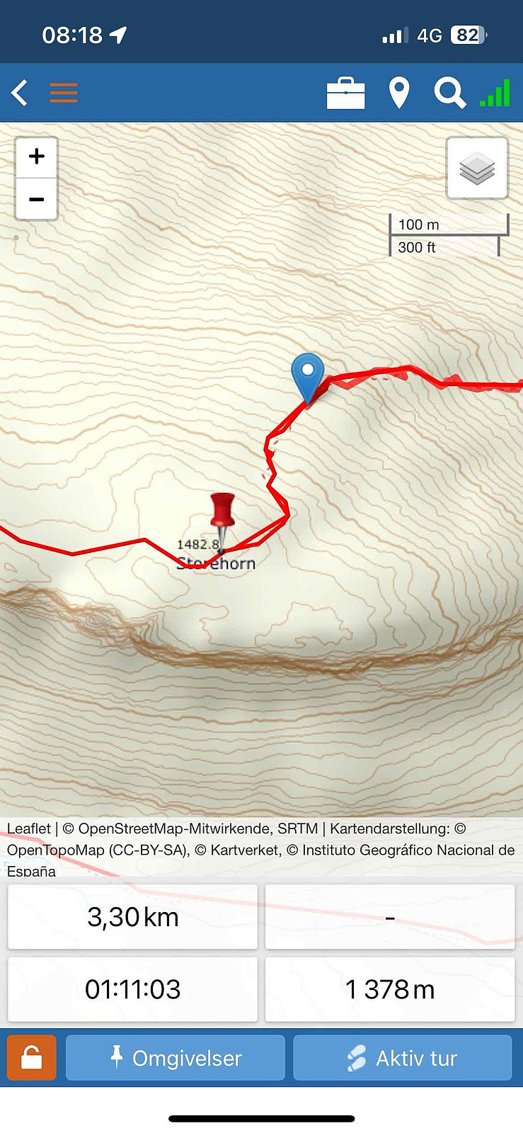
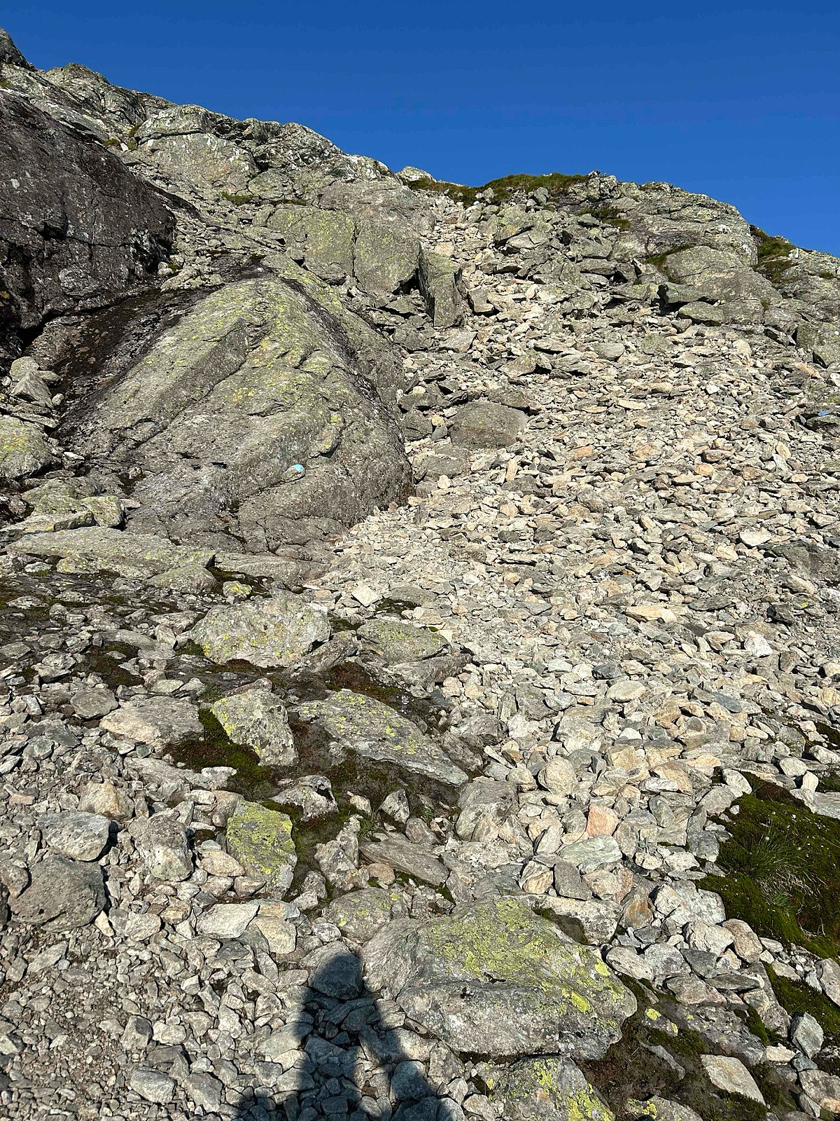
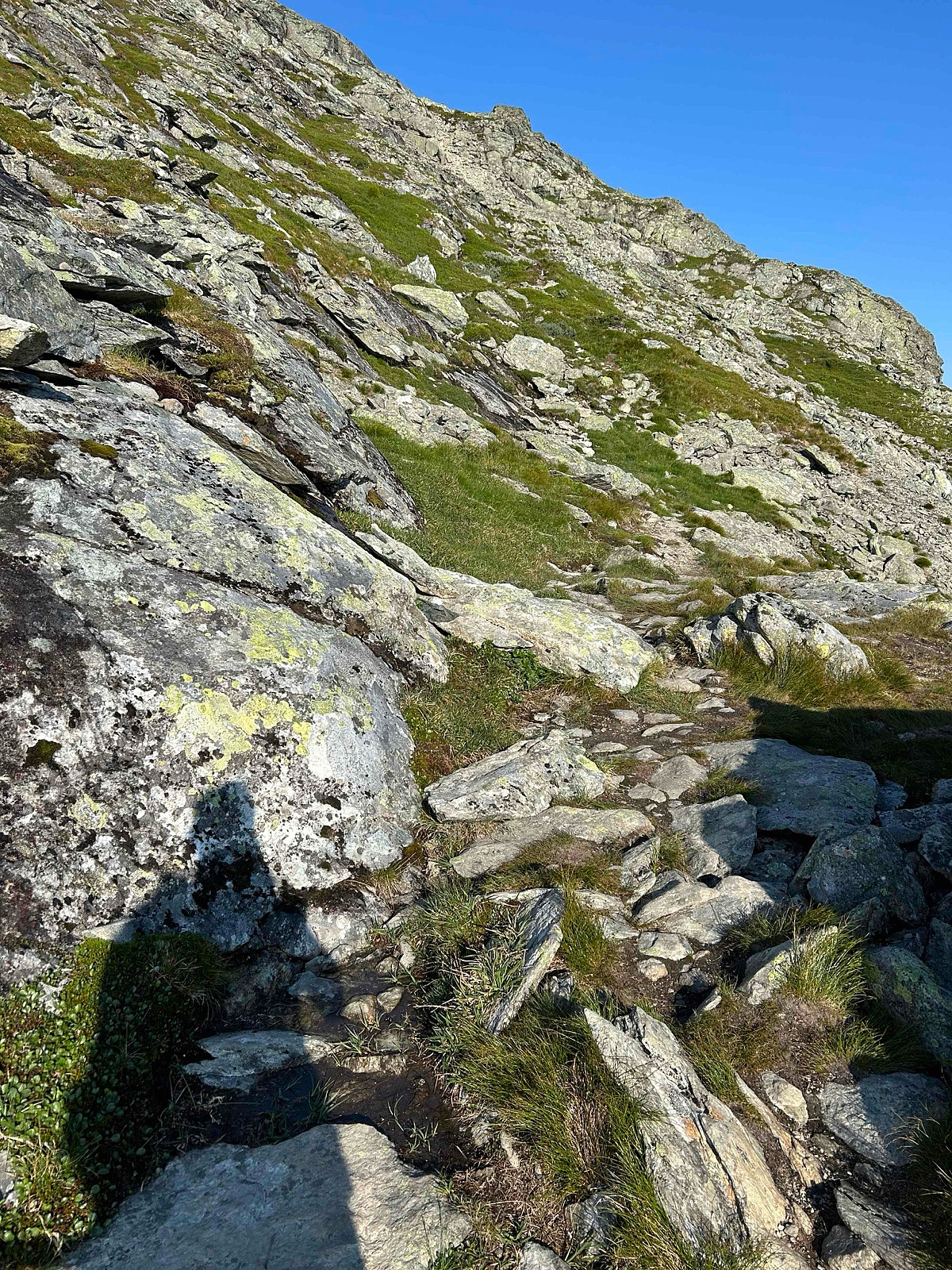
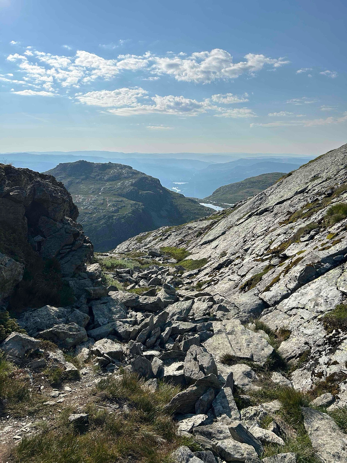
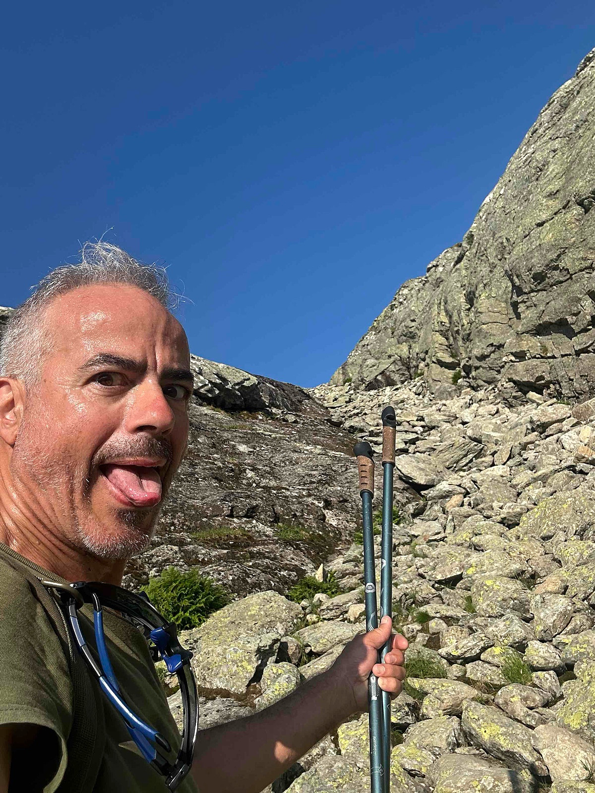
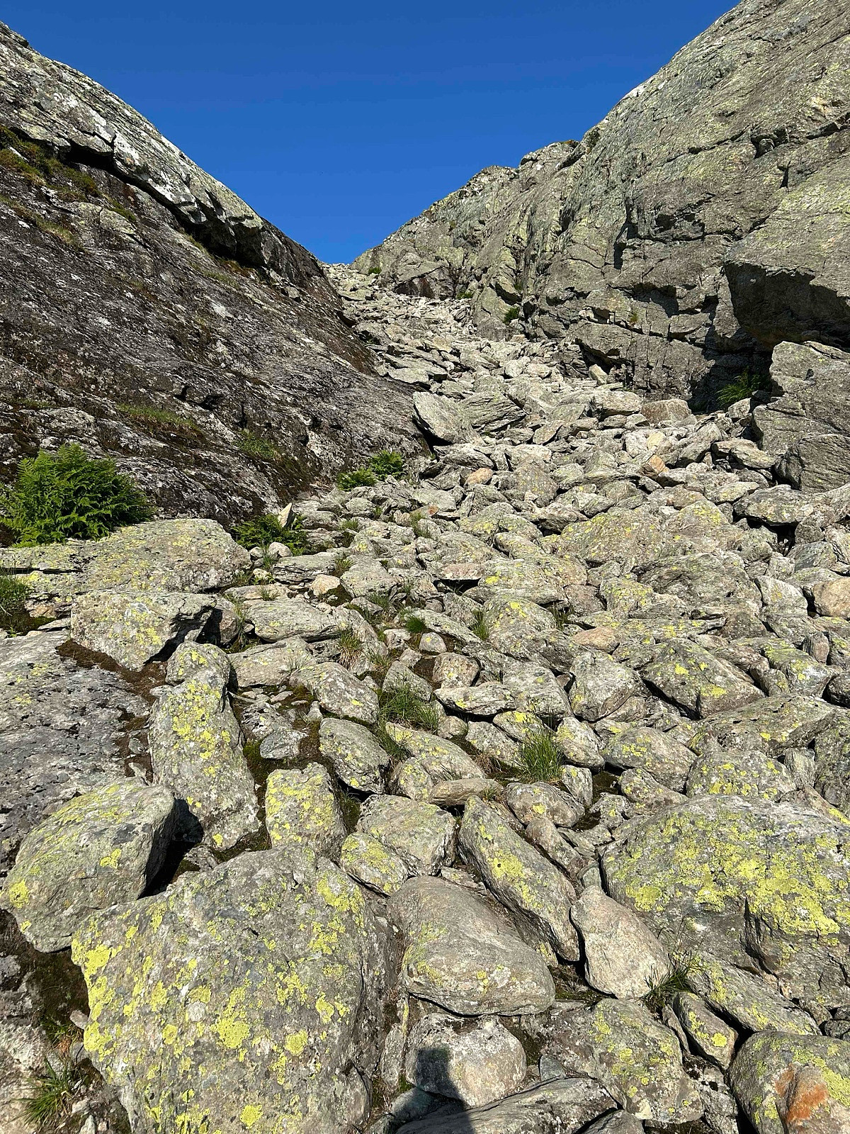
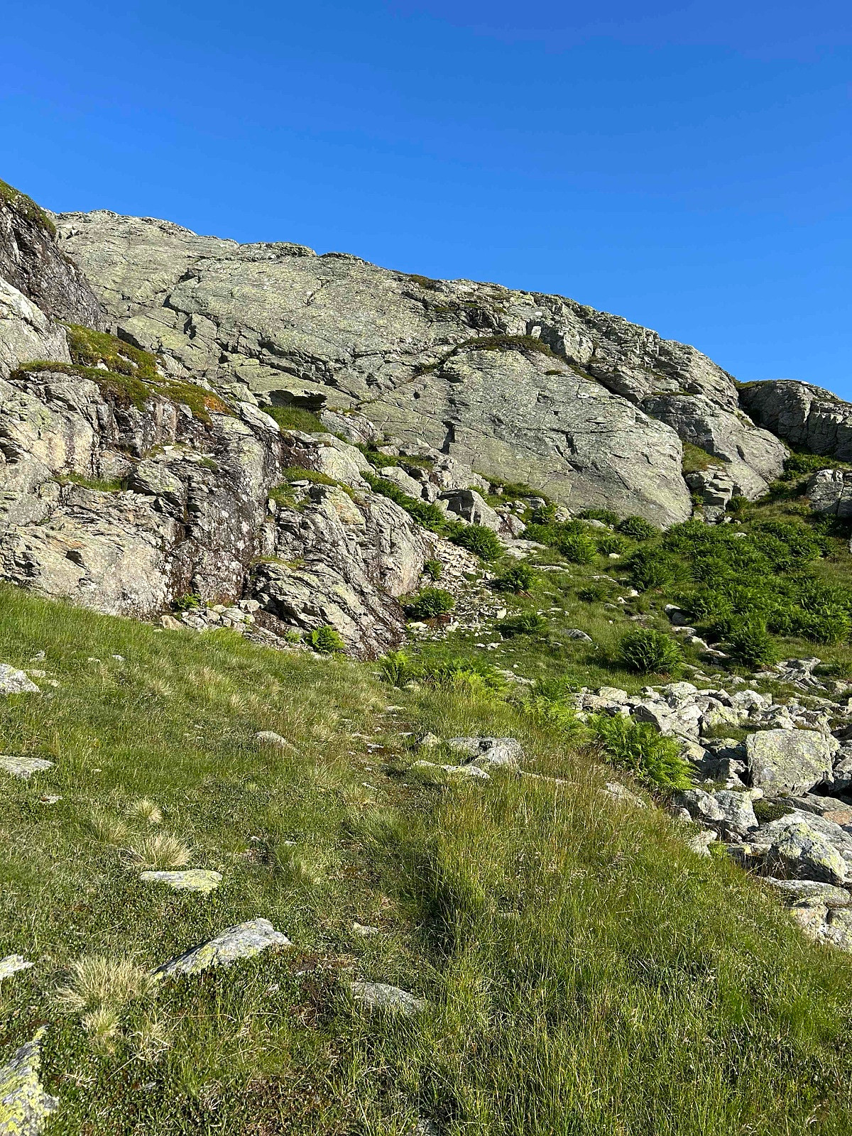
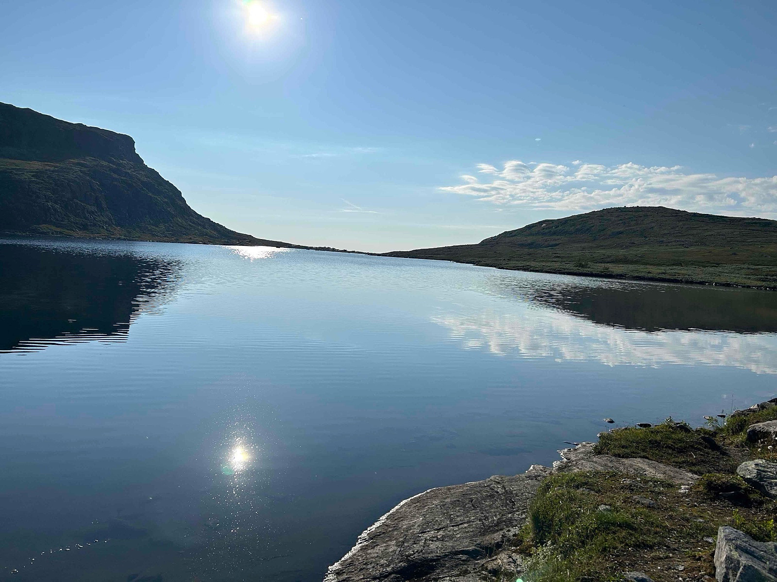
There are several routes. This is my shortest route, but also the most difficult. On my way down I took another route to see the falls from the lake.
It is a heavy route for only 4 points (under 1500 missing the 6 points) that may explain why not many sota hams make this nice SOTA, many just choose easy points vs altitude / track :)
- - - - -
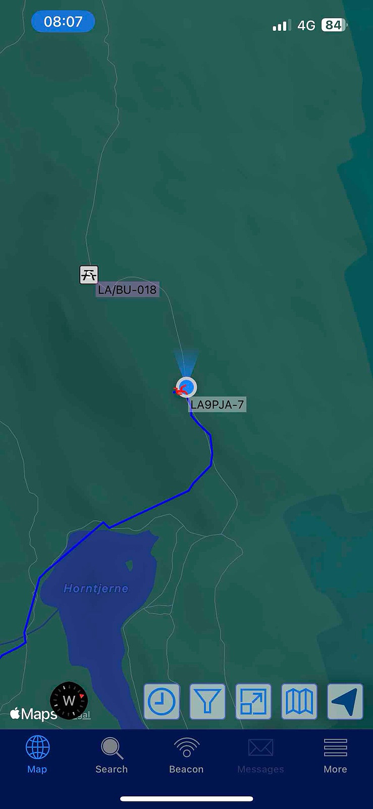
Distance: abt 7 km t/r
Start: Hornslie p-plass.
Summer: Bike / Walk -> Bike up to parking then Hike up to summit.
Winter: Skis / Snowshoes -> Yes snowshoes and boots with crampons when is a lot of ice.
Tollroad/Bom: Yes 70 kr (2025) huge parking place, possible to overnight there.
Equipment: KX3 15w & 1/4~wave Vertical (APRS LA9PJA-7/LA9PJA-9)
Apps / Resources: SOTA Goat, SOTLAS, PeakBook, APRS.FI, QTHnow / POTA, POTA-MAP.fr, AllTrails
- - - -
Photos & Track: Courtesy of LA9PJA :)


Kommentarer