Archive - Date
Archive - Geography
Collected lists
-
1500m ≥ 100m pf.
(1094/1264)
 86%
86% -
Stavkirker i Norge
(24/28)
85%
-
Kommunetopper primærfaktor
(273/319)
85%
-
Trig-punkter av 1. orden, Sør-Norge
(182/231)
78%
-
Norge fastland ≥ 1000m pf.
(58/84)
69%
-
DNT-hytter i Norge
(237/605)
39%
-
Telemark ≥ 100m pf.
(224/765)
29%

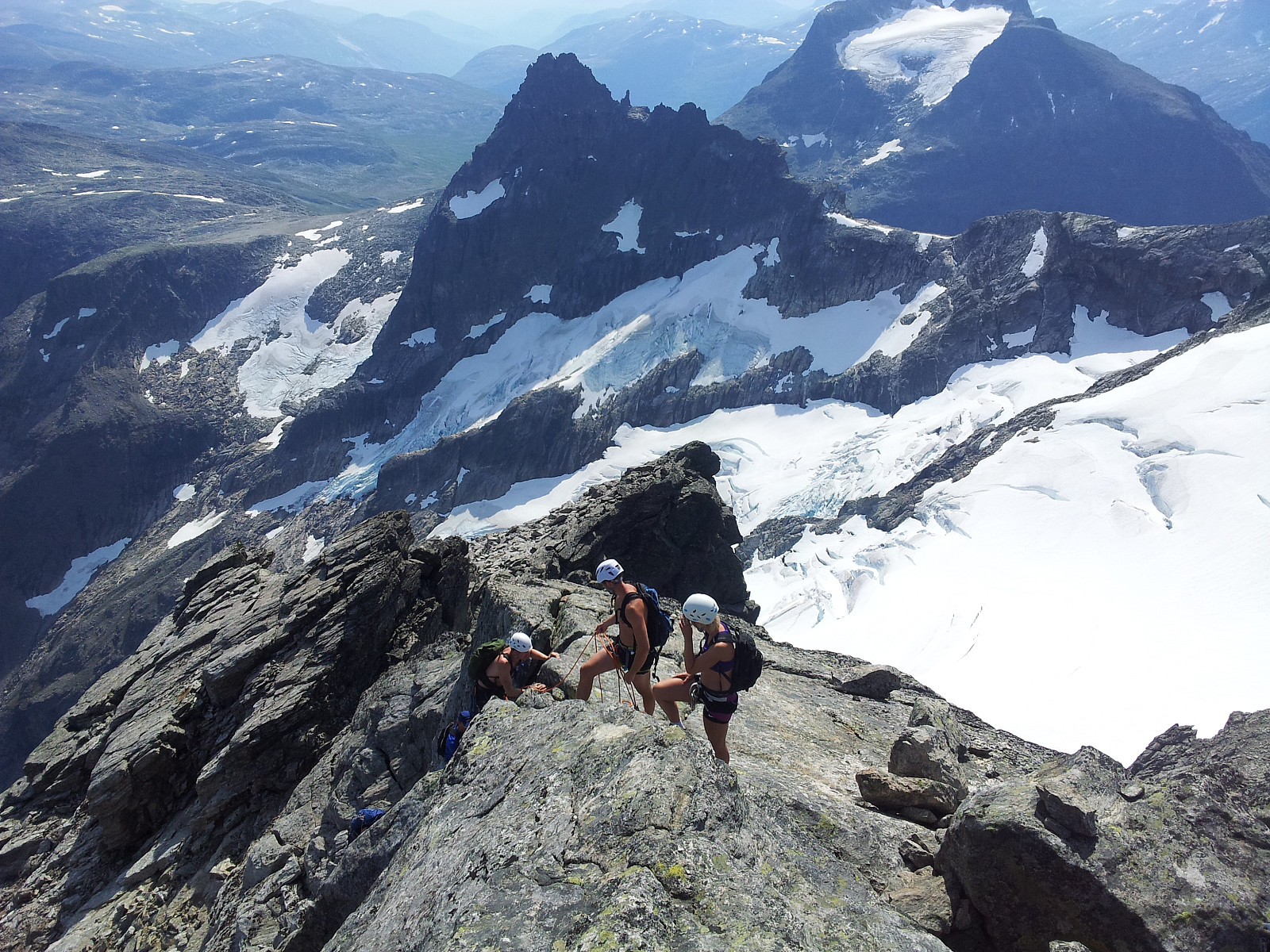
Kalskråtinden
- Date:
- 29.08.2014
- Characteristic:
- Hillwalk
- Duration:
- 8:19h
- Distance:
- 18.0km
 Rapport & flere bilder hos otto
Rundtur ved Kleneggen
- Date:
- 28.08.2014
- Characteristic:
- Hillwalk
- Duration:
- 5:19h
- Distance:
- 18.8km
 En ettermiddagstur siden jeg først måtte jobbe på denne flotte solskinnsdagen.
Jeg skulle egentlig vært med Otto & co til Bispen og Kongen i dag.
Uansett; dette ble en fantastisk fin alenetur i området ved Kleneggen.
Og bittelitt nysnø var fremdeles igjen på Kaldbottinden og Kleneggen etter det kjølige været de siste dagene...
Nydelig solnedgang mot vest fra 1964 moh og mørkt nede ved Danielbu parkering. Det begynner å bli høst!
En ettermiddagstur siden jeg først måtte jobbe på denne flotte solskinnsdagen.
Jeg skulle egentlig vært med Otto & co til Bispen og Kongen i dag.
Uansett; dette ble en fantastisk fin alenetur i området ved Kleneggen.
Og bittelitt nysnø var fremdeles igjen på Kaldbottinden og Kleneggen etter det kjølige været de siste dagene...
Nydelig solnedgang mot vest fra 1964 moh og mørkt nede ved Danielbu parkering. Det begynner å bli høst!
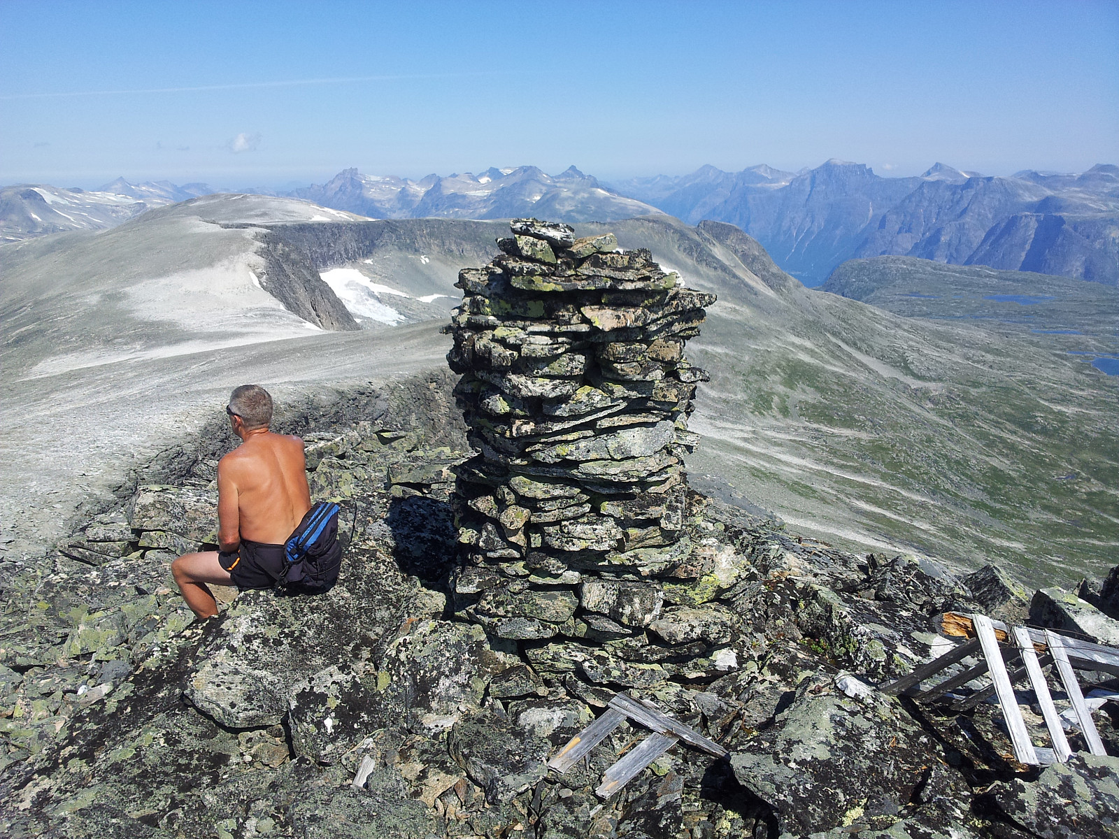
Fossafjellet
- Date:
- 24.07.2014
- Characteristic:
- Hillwalk
- Duration:
- 4:30h
- Distance:
- 13.4km
 Rapport & flere bilder hos Otto
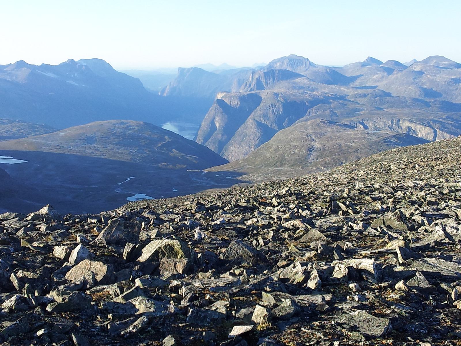
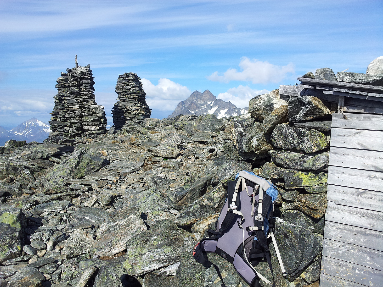
Store Venjetinden
- Date:
- 23.07.2014
- Characteristic:
- Hillwalk
- Duration:
- 5:30h
- Distance:
- 7.7km
 Rapport & flere bilder hos Otto
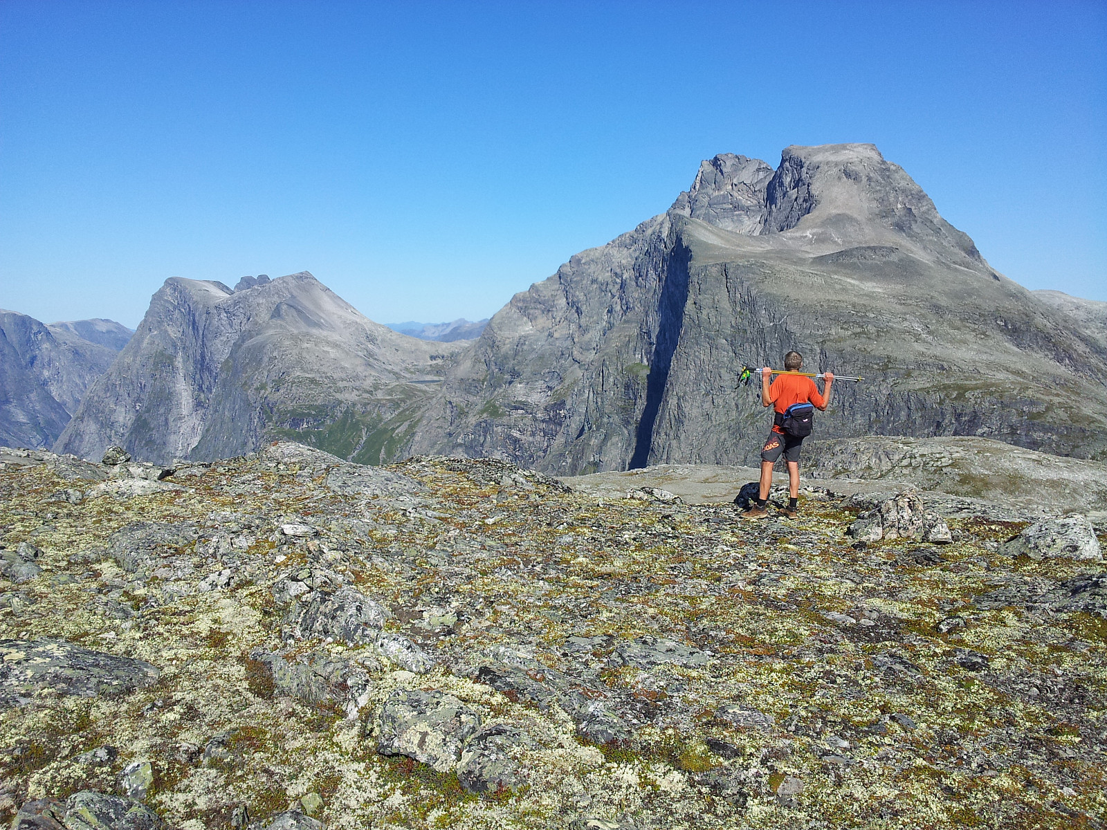
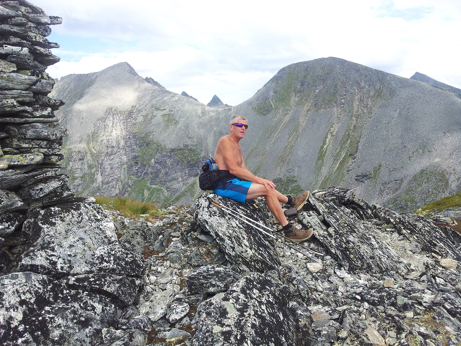
Klauva, Søre Klauva og Skarven
- Date:
- 22.07.2014
- Characteristic:
- Hillwalk
- Duration:
- 7:30h
- Distance:
- 21.0km
 Rapport & flere bilder hos Otto
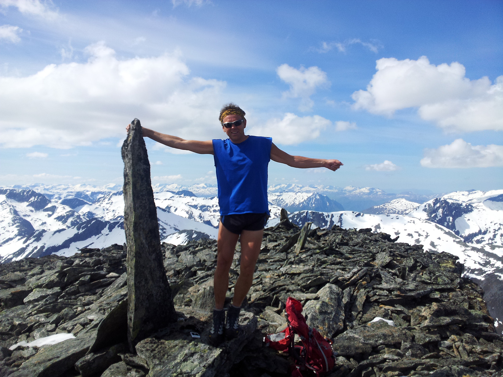
Romsdalshornet
- Date:
- 29.05.2014
- Characteristic:
- Hillwalk
- Duration:
- 3:30h
- Distance:
- 4.9km
 Etter en fin tur til Varden på Setnesfjellet sammen med Otto & Paal ble det kaffe- & ispause ved Statoil-stasjonen på Åndalsnes i 15.30-tida på ettermiddagen.
Turfølget mitt skulle nå returnere opp Romsdalen til Dombås, og jeg måtte jo finne på noe mer i det nydelige været denne Kr Himmelfartsdagen!
Tok dermed turen opp til Vengedalen p-plass og gikk normalruta til Hornet. Turen til topps tok ca 1t og 40 min. Nøt været og utsikten med lang rast på toppen.
Flott kveldstur og overraskende nok; ingen andre fjellfolk å se verken på vei mot toppen eller på toppunktet. Herlig å være alene i fjellet, særlig her hvor det til vanlig ferdes mange.
Etter en fin tur til Varden på Setnesfjellet sammen med Otto & Paal ble det kaffe- & ispause ved Statoil-stasjonen på Åndalsnes i 15.30-tida på ettermiddagen.
Turfølget mitt skulle nå returnere opp Romsdalen til Dombås, og jeg måtte jo finne på noe mer i det nydelige været denne Kr Himmelfartsdagen!
Tok dermed turen opp til Vengedalen p-plass og gikk normalruta til Hornet. Turen til topps tok ca 1t og 40 min. Nøt været og utsikten med lang rast på toppen.
Flott kveldstur og overraskende nok; ingen andre fjellfolk å se verken på vei mot toppen eller på toppunktet. Herlig å være alene i fjellet, særlig her hvor det til vanlig ferdes mange.
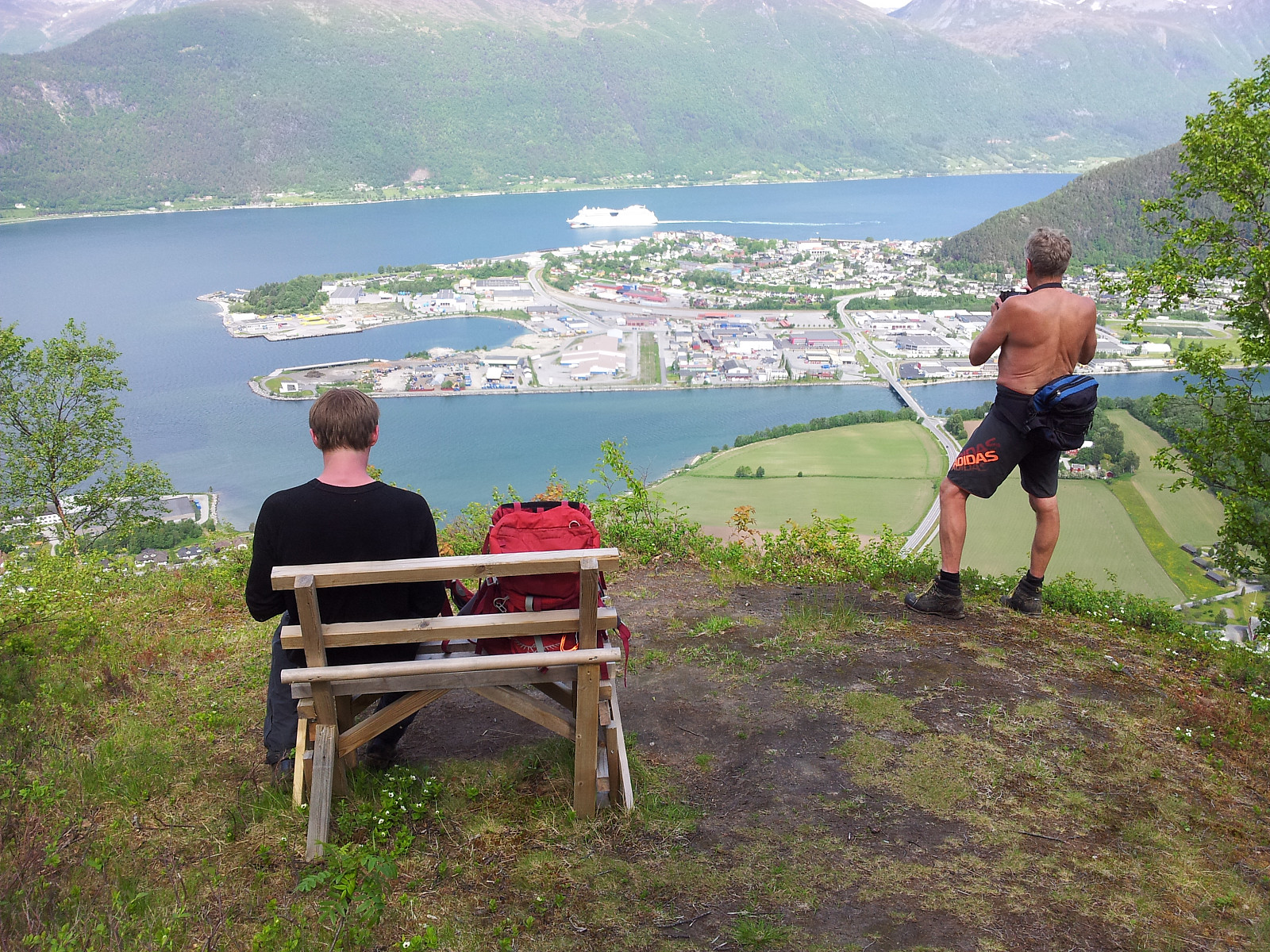
Varden på Setnesfjellet
- Date:
- 29.05.2014
- Characteristic:
- Hillwalk
- Duration:
- 4:00h
- Distance:
- 7.2km
 Rapport & flere bilder hos otto
Taskedalstinden & Kamben
- Date:
- 28.05.2014
- Characteristic:
- Hillwalk
- Duration:
- 7:00h
- Distance:
- 19.0km
 Rapport & flere bilder hos otto
Middagstinden
- Date:
- 27.05.2014
- Characteristic:
- Hike
- Duration:
- 4:39h
- Distance:
- 7.8km
 Rapport & flere bilder hos otto
Breitinden & Storgrovfjellet
- Date:
- 19.05.2014
- Characteristic:
- Backcountry skiing
- Duration:
- 6:30h
- Distance:
- 19.2km
 Rapport & flere bilder hos otto
