Arkiv - dato
Arkiv - Etter geografi
Lister jeg samler etter
-
1500m ≥ 100m pf.
(1094/1264)
 86%
86% -
Stavkirker i Norge
(24/28)
85%
-
Kommunetopper primærfaktor
(273/319)
85%
-
Trig-punkter av 1. orden, Sør-Norge
(182/231)
78%
-
Norge fastland ≥ 1000m pf.
(58/84)
69%
-
DNT-hytter i Norge
(237/605)
39%
-
Telemark ≥ 100m pf.
(224/765)
29%

Blåøret & Blåørpiken
- Dato:
- 31.12.2017
- Turtype:
- Randonnée/Telemark
- Turlengde:
- 2:40t
- Distanse:
- 16,3km
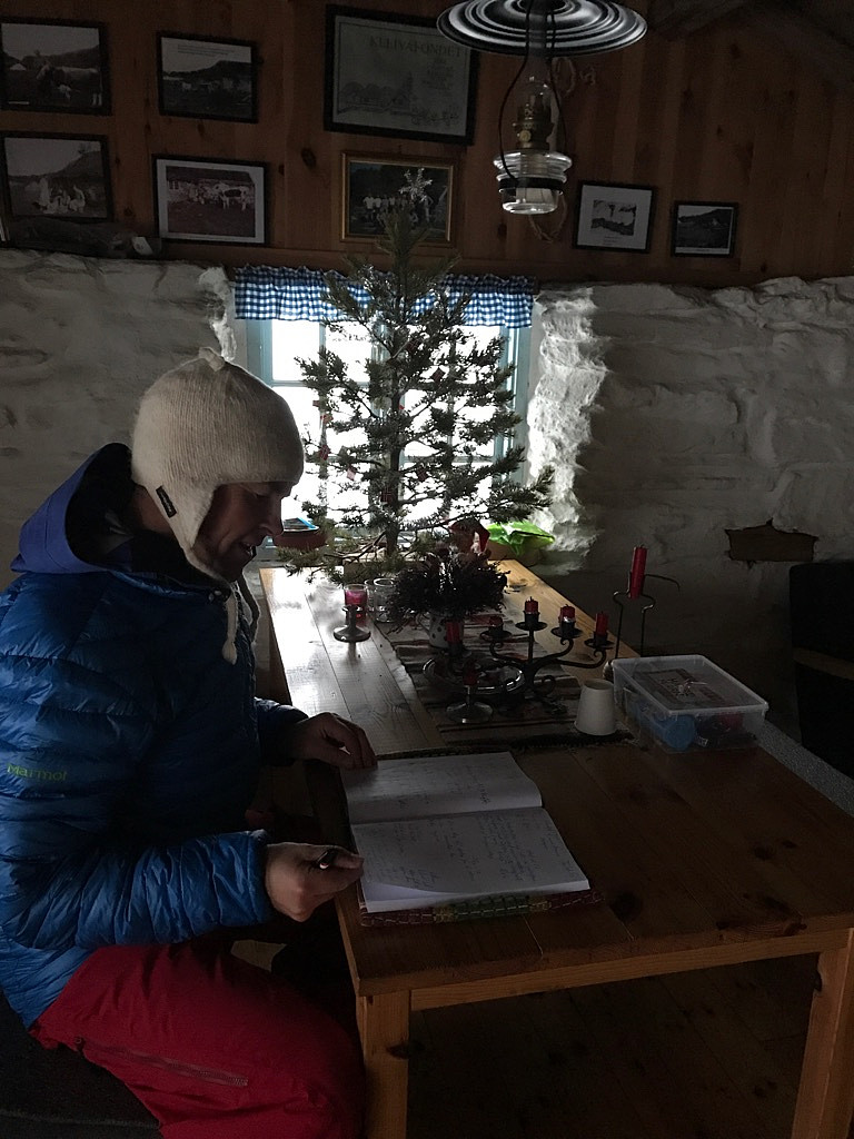
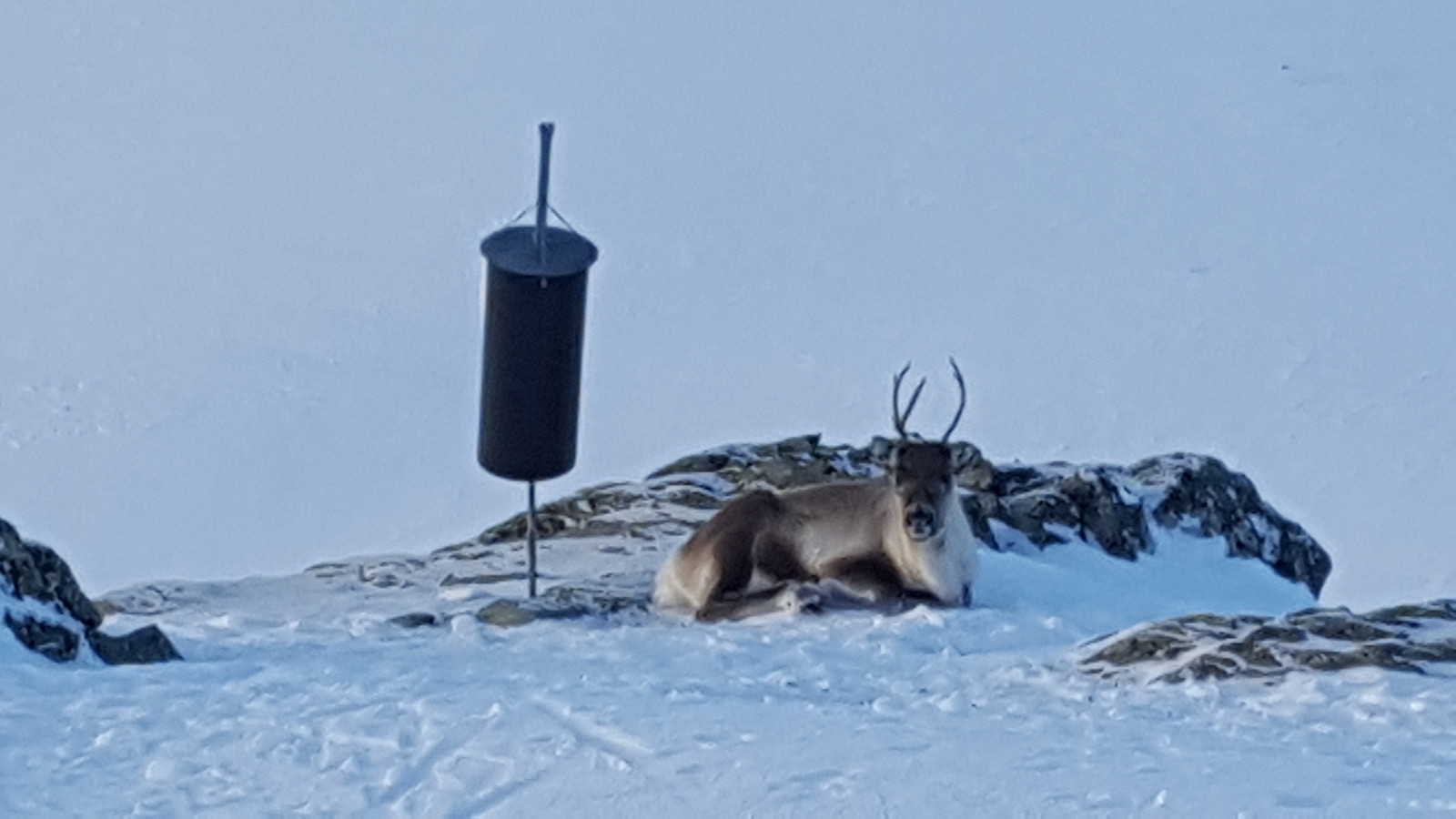 Nyttårsaften og tur i nærområdet :)
Romjulstur: Breen/Festa - Bårdsgarden (TT)
- Dato:
- 30.12.2017
- Turtype:
- Fjellskitur
- Turlengde:
- 5:35t
- Distanse:
- 29,3km
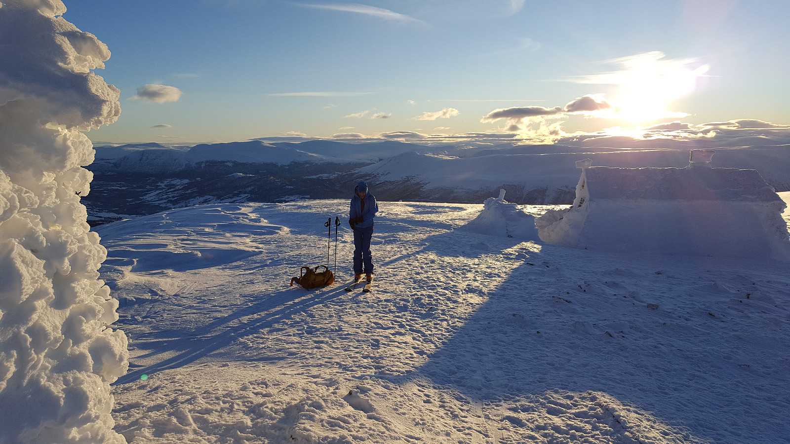
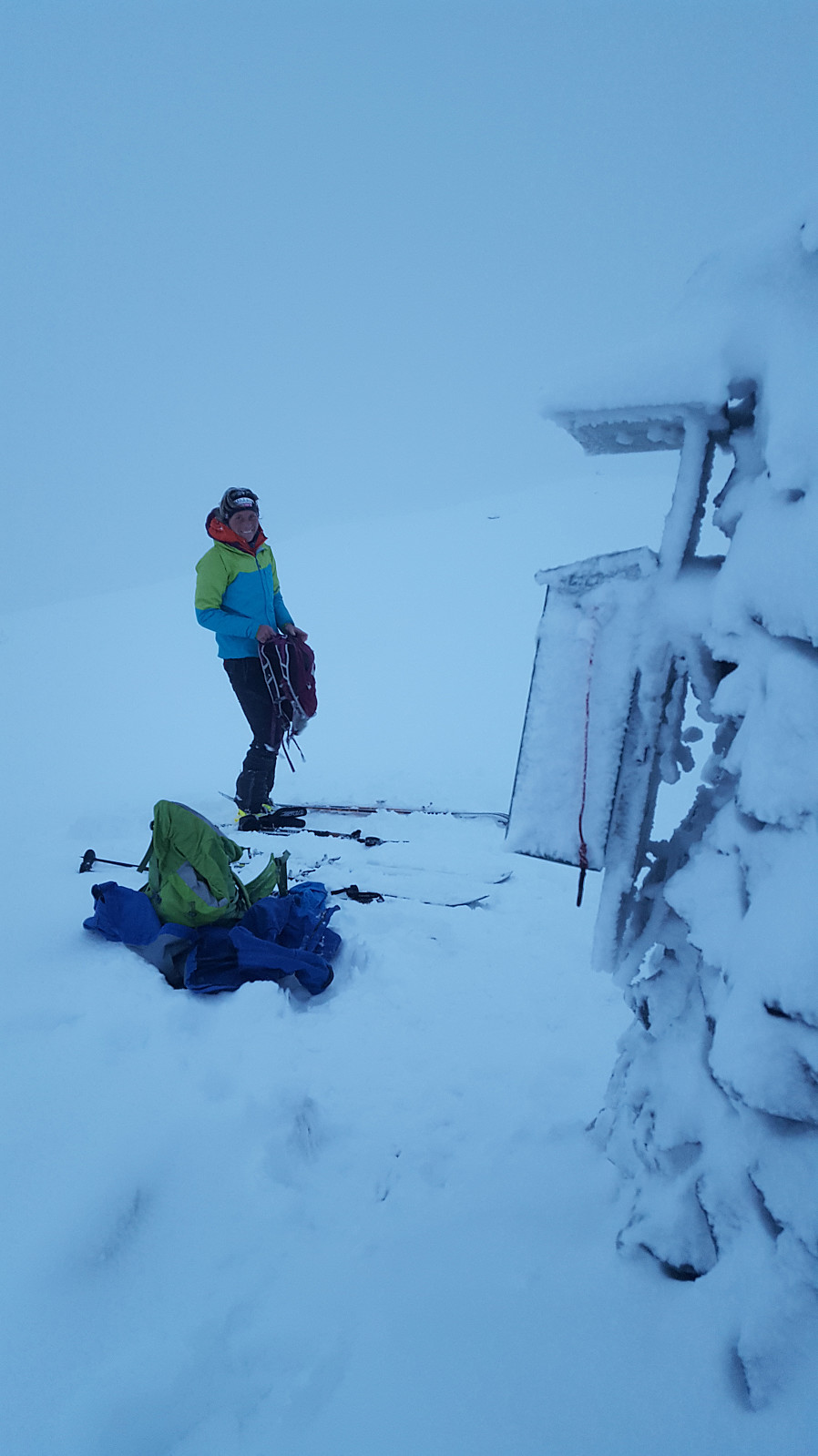
 Kaldt, klart vintervær og mye snø i fjellet på turen i dag.. (-18 grader ved Bårdsgarden).
Fin klassiker i Oppdalsfjella!
Kaldt, klart vintervær og mye snø i fjellet på turen i dag.. (-18 grader ved Bårdsgarden).
Fin klassiker i Oppdalsfjella!
Storhornet
- Dato:
- 29.12.2017
- Turtype:
- Randonnée/Telemark
- Turlengde:
- 2:24t
- Distanse:
- 11,1km
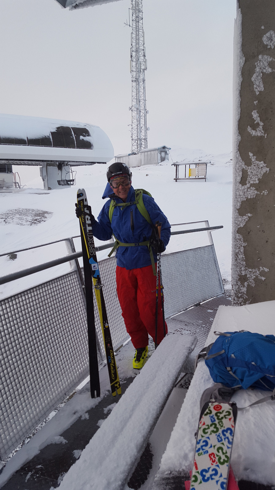
 Romjulstur m/Andreas
Blåøret, Blåørpiken & Skjørstadhovden
- Dato:
- 28.12.2017
- Turtype:
- Randonnée/Telemark
- Turlengde:
- 2:49t
- Distanse:
- 17,3km
 Fin formiddagstur
Skjørstadhovden
- Dato:
- 27.12.2017
- Turtype:
- Randonnée/Telemark
- Turlengde:
- 0:57t
- Distanse:
- 4,9km
 Morgentur :)
Svarrafjellet
- Dato:
- 26.12.2017
- Turtype:
- Randonnée/Telemark
- Turlengde:
- 1:45t
- Distanse:
- 6,8km
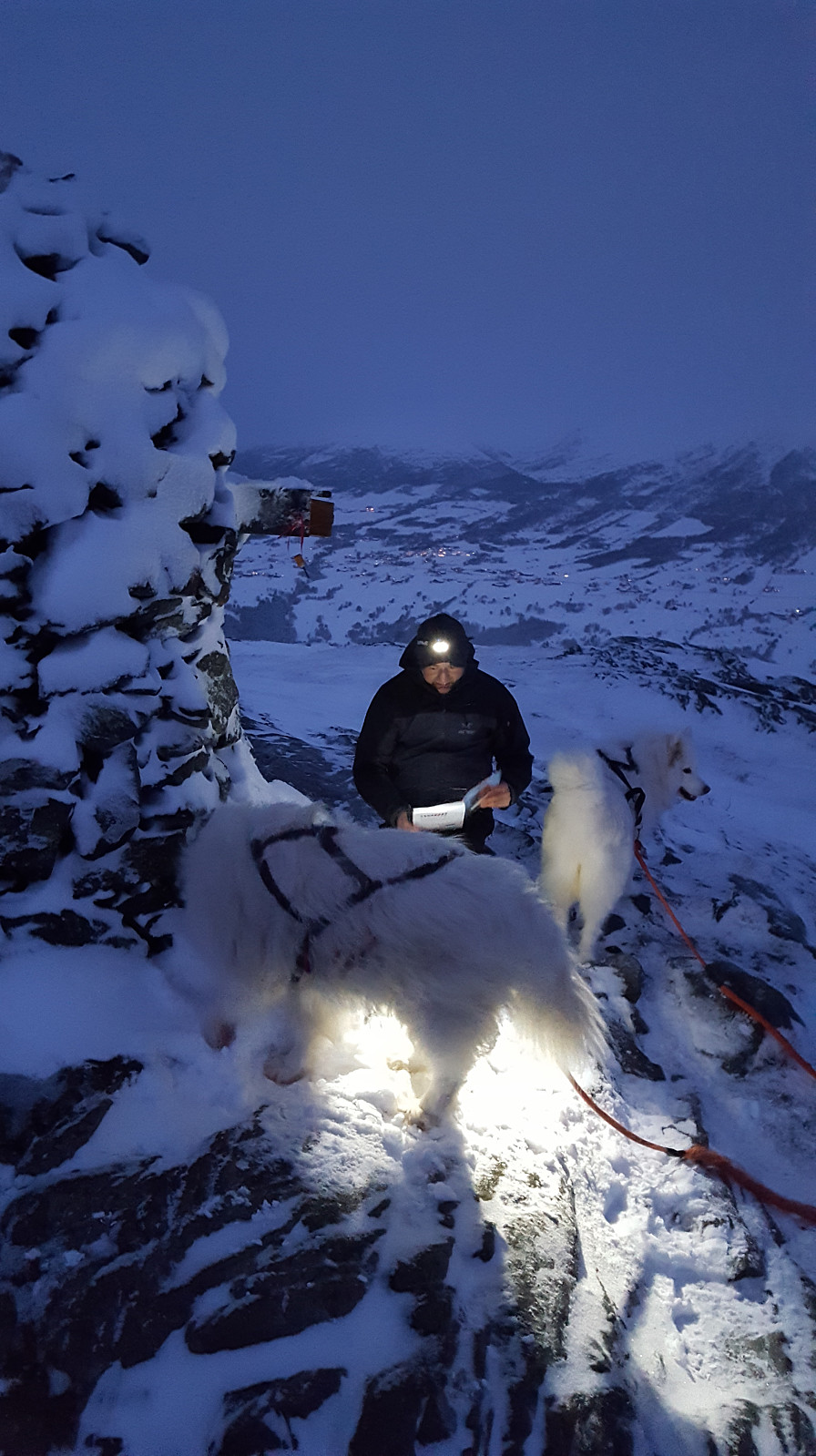
 På tur til Knyken, men måtte snu på Svarrafjellet pga sterk vind og snøfokk....
Tur innom Ranessetra på vei ned - trivelig julestemning inne i seterbua :)
På tur til Knyken, men måtte snu på Svarrafjellet pga sterk vind og snøfokk....
Tur innom Ranessetra på vei ned - trivelig julestemning inne i seterbua :)
Syltnebba nr. 1 på 1. juledag
- Dato:
- 25.12.2017
- Turtype:
- Randonnée/Telemark
- Turlengde:
- 1:19t
- Distanse:
- 7,3km
 Masse fin nysnø & julestemning :)
Syltnebba nr. 2 på 1. juledag
- Dato:
- 25.12.2017
- Turtype:
- Randonnée/Telemark
- Turlengde:
- 1:21t
- Distanse:
- 7,3km
Svarthaugen
- Dato:
- 24.12.2017
- Turtype:
- Randonnée/Telemark
- Turlengde:
- 0:54t
- Distanse:
- 4,5km
 Julaftentur :)
Skjørstadhovden
- Dato:
- 24.12.2017
- Turtype:
- Randonnée/Telemark
- Turlengde:
- 0:58t
- Distanse:
- 5,1km
 Julaftentur :)
