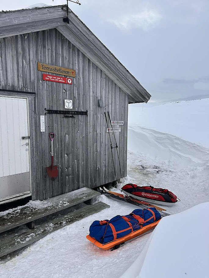
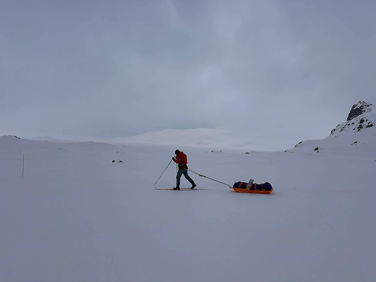
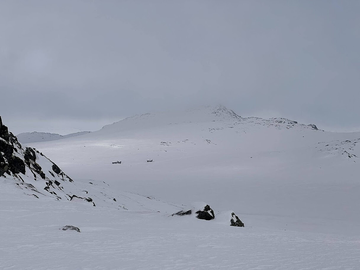
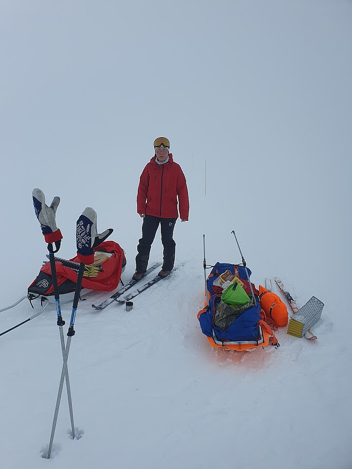
Til Tomashelleren i tåke og vind (21.03.2026)

| Start point | Tyin (1,084m) |
|---|---|
| Endpoint | Tomashelleren (1,499m) |
| Characteristic | Backcountry skiing |
| Duration | 5h 37min |
| Distance | 20.0km |
| Vertical meters | 599m |
| GPS |
|
| Visits of other PBEs | Tomashelleren (1,485m) | 21.03.2026 |
|---|

User comments