Archiv - Nach Datum
Archiv - Nach Aktivität
-
Andere Tour (1)
- Kayaking (1)
-
Andere Wintertour (4)
- Schneeschuhtour (4)
-
Fahrradtour (137)
- Fahrradtour Straße (9)
- Fahrradtour gemischt (51)
-
Fußtour (740)
- Bergtour (363)
- Jogging (18)
- Spaziergang (89)
- Wanderung (270)
-
Skitour (4)
- Tourenskilauf (4)
Archiv - Nach Geografie
Peakbookfreunde


Gesammelte Listen
-
Bergen ≥ 50m pf. og ≥ 100 m.o.h.
(87/89)
 97%
97% -
Most dominating tops of the Bergen peninsula
(68/75)
90%
-
Utvalgte topper og turmål i Bergen
(316/350)
90%
-
Alle topper i Bergen
(357/398)
89%
-
Opptur Bergen
(100/113)
88%
-
De syv fjell rundt Bergen
(6/7)
85%
-
Sund ≥ 50m pf.
(14/18)
77%
-
Os ≥ 50m pf.
(25/34)
73%
-
Søyler (fastmerker) i Bergen
(68/100)
68%
-
Fjell ≥ 50m pf.
(21/32)
65%

Nice round around Fedje
- Datum:
- 19.06.2021
- Tourcharakter:
- Wanderung
- Tourlänge:
- 4:00h
- Entfernung:
- 11,0km
 We took the ferry to Fedje and started our hike around the island from there. Our plan was to round Fedje in clockwise direction. Accordingly, we headed southwestwards, first, to pass by Husavatnet on its western side. Continuing in southwestern direction, we got around the wetter inner areas of Fedje near the west coast of the island. After walking by Vassviketjørna, we made a short detour to Vassvika to enjoy a short lunch break. From there, we continued further southwards until we were very close to Hellisøy with its impressive lighthouse. We then switched over to the eastern side of the island by following Fyrsundvegen. After a few steps on Stormarkvegen, we turned onto Mortevikvegen, which brought us to the head of the trail along the eastern coast of Fedje. Following this trail >>>
Kongevegen and Kvinnestigen
- Datum:
- 13.06.2021
- Tourcharakter:
- Bergtour
- Tourlänge:
- 2:30h
- Entfernung:
- 7,8km
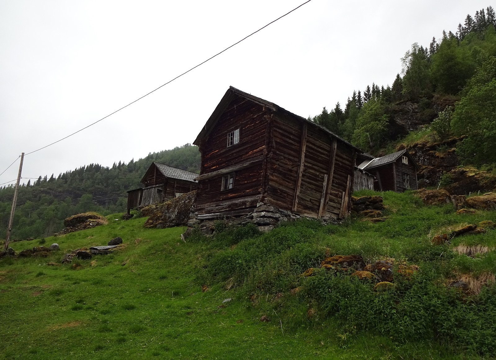 Given another rather wet day and limited time, we decided to do another "low lands" walk, exploring some local history. This lead to starting in Oppheim and following the historic Kongevegen down to Vinje (kind of "parallel" to E16 lower down in Vinjadalen, after first "short-cutting" Høgåsen on its northern side). Once arrived in Øvre Vinjo, a little above Vinje, we decided to connect "on a higher level" to Kvinnestigen. Once we arrived there (at about 400mosl), we turned right (in northeastern direction) and started the relatively steep ascent along Kvinnestigen (on a good trail!). Once above approximately 500mosl, the trail flattens out a little, and soon later we came to another trail-crossing, where we turned right, again, in order to follow >>>
Around Brandsetstølen
- Datum:
- 12.06.2021
- Tourcharakter:
- Bergtour
- Tourlänge:
- 2:00h
- Entfernung:
- 6,9km
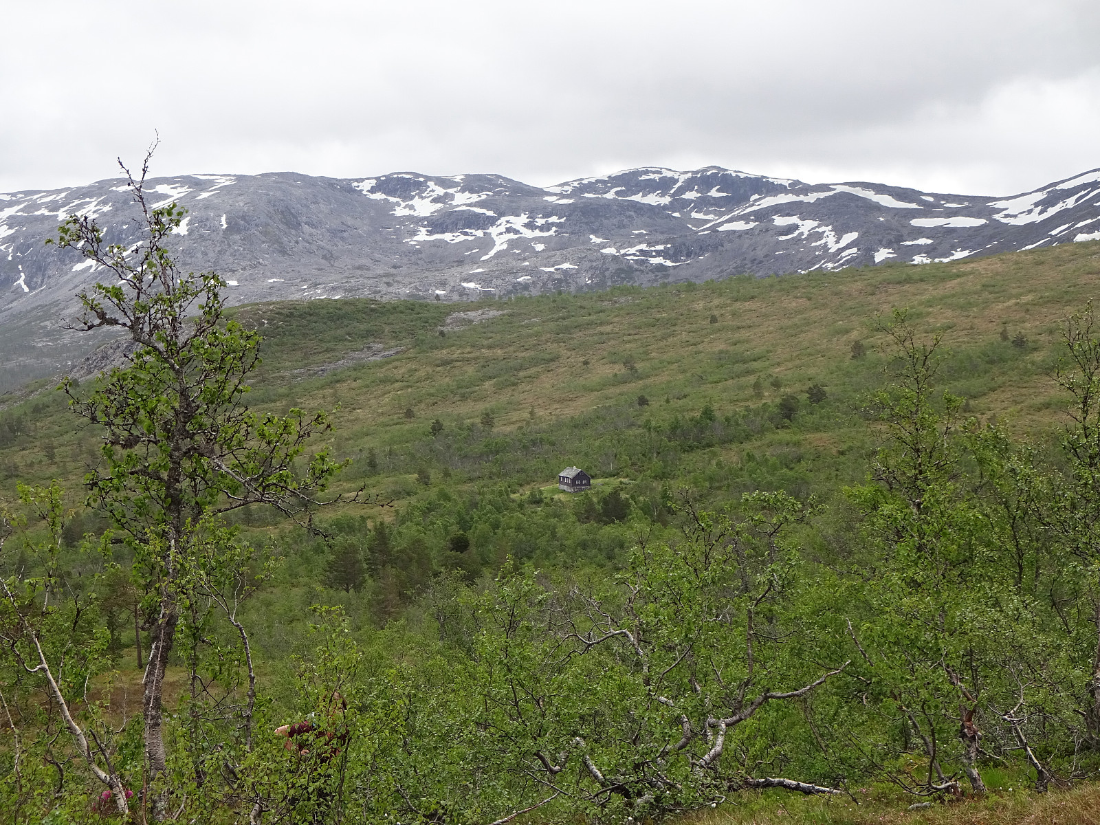 Given a significant, not very high cloud cover and intermittent precipitation, we decided to go for a not too long walk, not too high up the mountain side. This still lead to a nice little round near Brandset! :-)
See also the related FB-page Hiking around Bergen, Norway .
Given a significant, not very high cloud cover and intermittent precipitation, we decided to go for a not too long walk, not too high up the mountain side. This still lead to a nice little round near Brandset! :-)
See also the related FB-page Hiking around Bergen, Norway .
Søtefjellet from Hausdalen via Åsen
- Datum:
- 06.06.2021
- Tourcharakter:
- Wanderung
- Tourlänge:
- 5:30h
- Entfernung:
- 11,3km
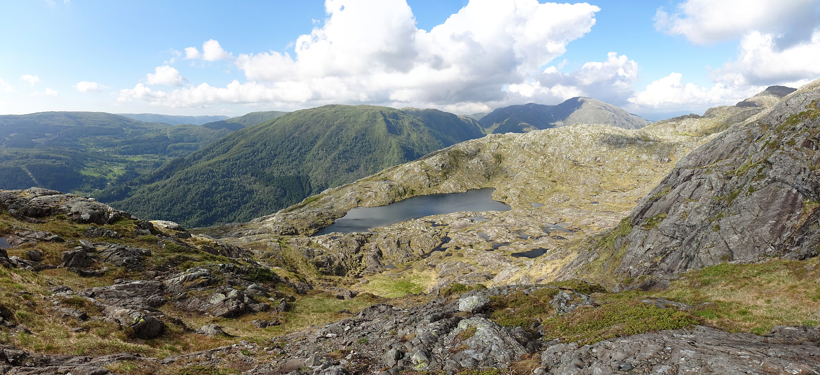 With the promise of a nice afternoon ahead of us and knowing the days are long during the Norwegian summer, we headed for Hausdalen and a hike that we had thought about for quite a while (it had to wait for the right day!). The main idea was to start in Samdalen (a long way into Hausdalen) and then hike to Åsen first (a kind of smallish hill that nonetheless peaks out from its exposed position at the junction of Hausdalen and Brekkjedalen). From there, the idea was to attempt an ascent to Søtefjellet, from where we knew that it was straight-forward to hike down along the long ridge that leads in southwestern direction towards Ulvvatnet. After driving into Hausdalen from the very south of Kalandsvatnet (along E39 in the south of Bergen), we found a suitable place right next to the road, >>>
Round around Lerøyna
- Datum:
- 05.06.2021
- Tourcharakter:
- Bergtour
- Tourlänge:
- 2:30h
- Entfernung:
- 6,4km
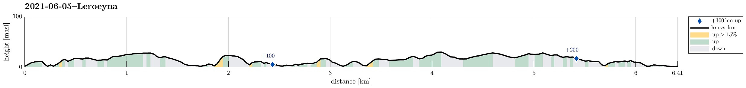 We thought to explore one of the nearby islands and chose Lerøyna, between Hjellestad and Klokkarvik. Leaving the car in Hjellestad, we took the ferry to Lerøyna, landing on the very western side. Aiming at one round around the island, we started in southeastern direction. Within about 100m from the ferry stop, we came to the place, where during WWII a POW camp was (in Greftvikdalen). Walking through one of the tunnels from that camp (most of them have been closed off by now), we came to a place, right next to Lerøyosen, which is eerily idyllic, given the grim past of this place. From there, we stepped through the green into southeastern direction, passing by a larger number of relatively new houses at the sea in their north. Continuing again through a bit of green (a little further >>>
