Arkiv - dato
Arkiv - aktivitet
-
Annen tur (1)
- Kajakkpadling (1)
-
Annen vintertur (4)
- Trugetur (4)
- Fottur (740)
-
Skitur (4)
- Fjellskitur (4)
-
Sykkeltur (137)
- Blandet sykling (51)
- Gatesykling (9)
Arkiv - Etter geografi
"Peakbookvenner"


Lister jeg samler etter
-
Bergen ≥ 50m pf. og ≥ 100 m.o.h.
(87/89)
 97%
97% -
Most dominating tops of the Bergen peninsula
(68/75)
90%
-
Utvalgte topper og turmål i Bergen
(316/350)
90%
-
Alle topper i Bergen
(357/398)
89%
-
Opptur Bergen
(100/113)
88%
-
De syv fjell rundt Bergen
(6/7)
85%
-
Sund ≥ 50m pf.
(14/18)
77%
-
Os ≥ 50m pf.
(25/34)
73%
-
Søyler (fastmerker) i Bergen
(68/100)
68%
-
Fjell ≥ 50m pf.
(21/32)
65%

Mount Seymour near Vancouver
- Dato:
- 26.10.2019
- Turtype:
- Fottur
- Turlengde:
- 6:45t
- Distanse:
- 10,3km
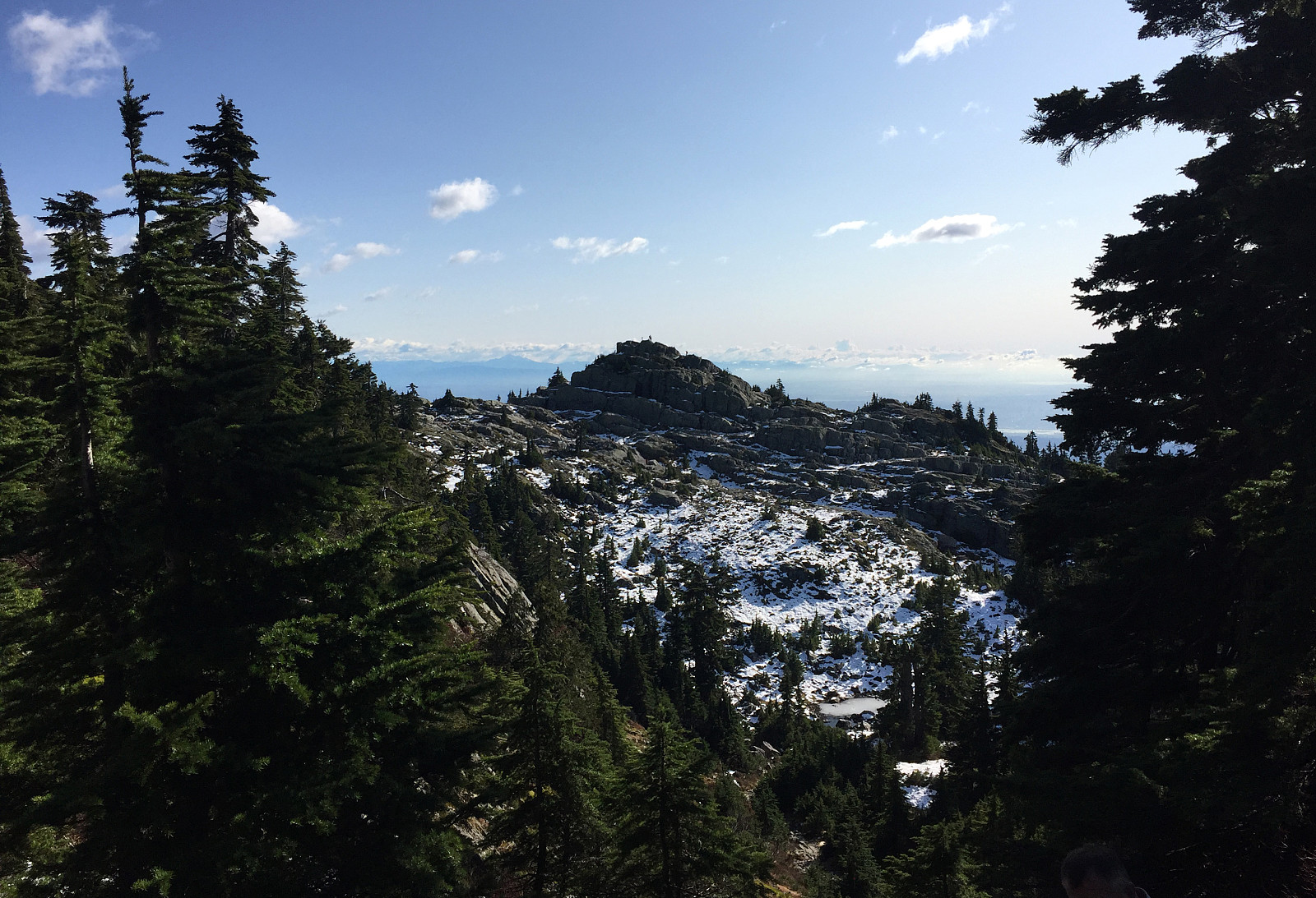 The weather seemed to promise a nice day and plans were already made in advance! :-) To get started, we had rented a car that would bring us all the way up a little over 1000mosl at the parking lot at the Mount Seymour ski resort, clearly limiting the overall height to climb on this hike!
Instead of following the main trail to Mount Seymour from the parking lot, we had planned to visit Mystery Lake, first. While heading for the trail head of the Mystery Lake Hike , rounding Loch Lomond right north of the parking lot, we suddenly became unsure and started to think that we had made our turn to early (while in fact we were 100% right!). Since we did not see any trail markers right where we were, we turned around and went back and then up the main gravel road west of the ski lift in order to find the trail head >>>
The weather seemed to promise a nice day and plans were already made in advance! :-) To get started, we had rented a car that would bring us all the way up a little over 1000mosl at the parking lot at the Mount Seymour ski resort, clearly limiting the overall height to climb on this hike!
Instead of following the main trail to Mount Seymour from the parking lot, we had planned to visit Mystery Lake, first. While heading for the trail head of the Mystery Lake Hike , rounding Loch Lomond right north of the parking lot, we suddenly became unsure and started to think that we had made our turn to early (while in fact we were 100% right!). Since we did not see any trail markers right where we were, we turned around and went back and then up the main gravel road west of the ski lift in order to find the trail head >>>
Grouse Grind near Vancouver
- Dato:
- 24.10.2019
- Turtype:
- Fottur
- Turlengde:
- 3:00t
- Distanse:
- 4,5km
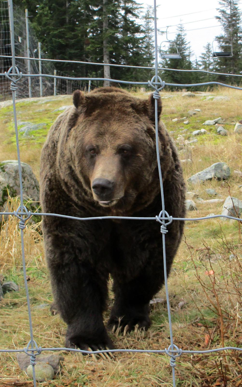 Being in Vancouver, Canada, one certainly feels invited to do at least one hike and a good start is to do the Grouse Grind Trail, which leads steeply upwards from the parking lot at the lower station of the cable car "Grouse Mountain Skyride", not far from Capilano Lake. The Grouse Grind web page mentions that you make approximately 850 height-meters (in less than 3 kilometers of length) and that this is done over more than 2800 stairs! Clearly, if you push than this ascent is a good exercise (and many do that, according to the web page). The trail is well marked and in a regular spacing, the hiker/runner is informed about the progress managed so far. Once at the upper end of the Ground Grind Trail, one reaches the upper station of the cable car. Since it is not allowed to go the Grouse Grind Trail >>>
Hausdalshorgi (and Austefjellet) from Hausdalen
- Dato:
- 06.10.2019
- Turtype:
- Fottur
- Turlengde:
- 5:00t
- Distanse:
- 11,0km
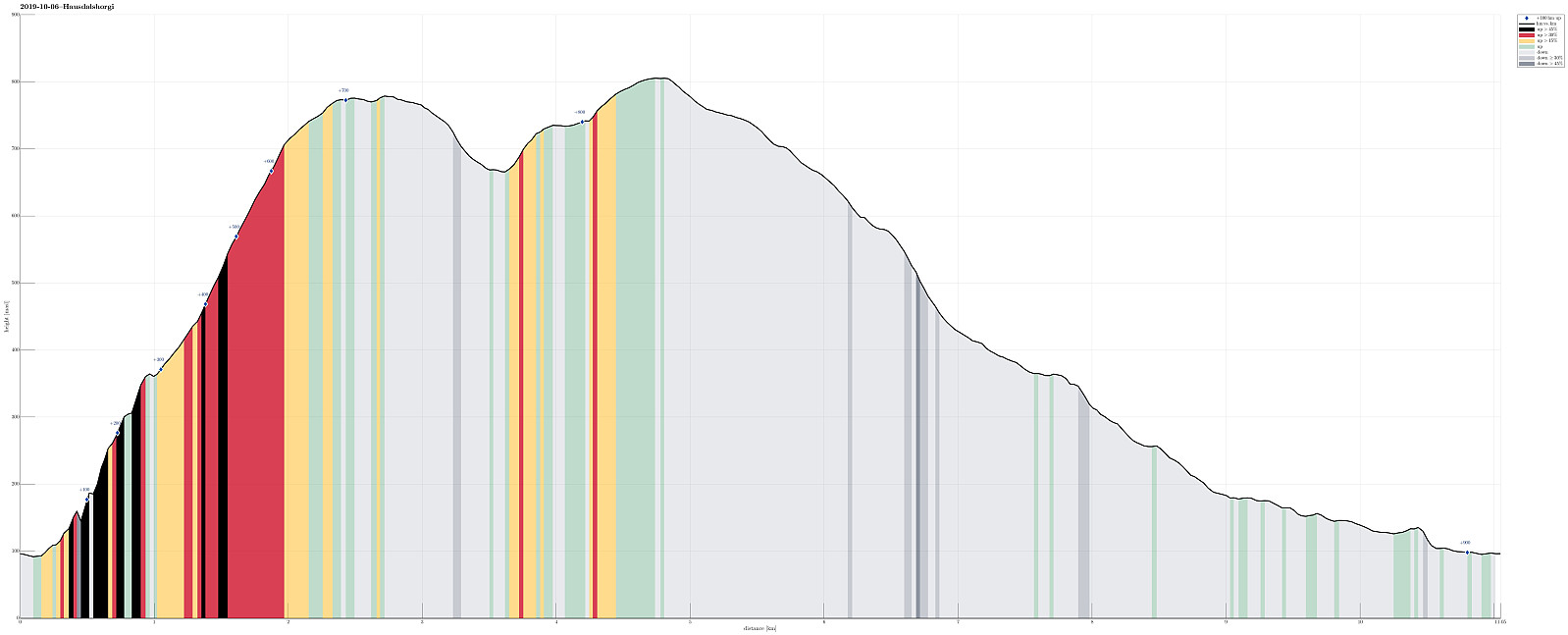 After completing a rather adventurous hike up and down Møsnuken the day before, we were ready for a new adventure! :-) For years, already, we were wondering whether one could hike Hausdalshorgi from "the bottom of" Hausdalen, also. After studying the map carefully, we decided to give this a try. It had appeared quite doable to hike up the southwestern ridge of Hausdalshorgi, at least from the tree line at about 350mosl. The major remaining question then was about how to get up to this point (N60°20′05″, E5°31′15″). The maps suggests one approach via Askestølen (hiking up a forest road from Samdal first and then continuing in the direction of Bjøllebotn). Since this would require a bit of hiking on roads (first along Hausdalsvegen, then along Lundagotnene), we wondered whether a more direct approach from Hausdalsvegen >>>
Møsnuken from Gåssand
- Dato:
- 05.10.2019
- Turtype:
- Fottur
- Turlengde:
- 5:00t
- Distanse:
- 12,5km
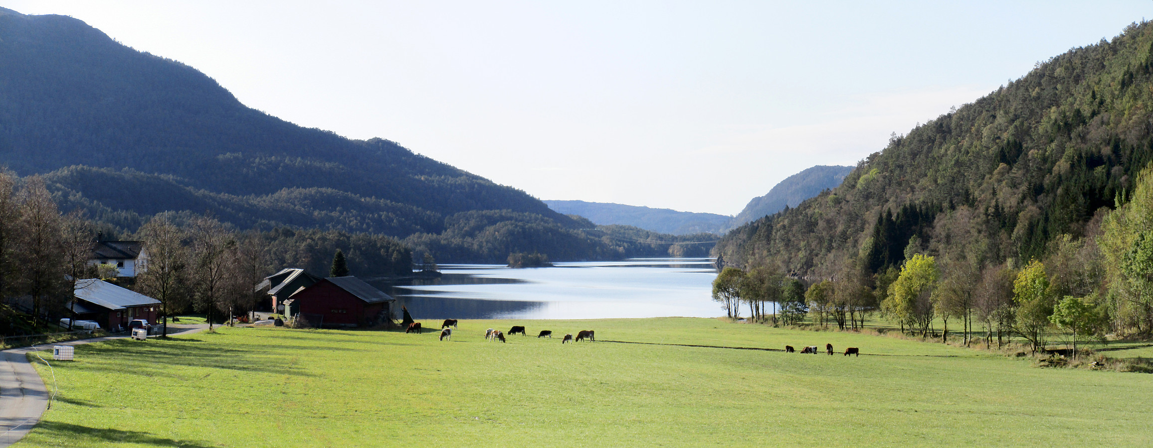 Møsnuken is very much worth a visit, not only for those who live in or around Osøyro. Usually, one would approach Møsnuken from the west (via Tyssdalen), or via Borgafjellet from Os. Less common is the approach from the north, i.e., from Gåssand. Some longer time back, we already tried this once, but failed (we had ended up at the northern side of Krokavatnet and did not see any reasonable way to get over it). So we decided to give this adventure another try! :-) Taking E39 southwards from Bergen, we turned left in Søfteland (where there's a sign towards Gåssand). As soon as one crosses Oselva one continues on the relatively narrow road Gåssandvegen in northeastern direction. After passing through a small valley (Lona) between Raudlifjellet (on the left) and Åsen (on the right), >>>
