Archiv - Nach Datum
Archiv - Nach Aktivität
-
Andere Tour (1)
- Kayaking (1)
-
Andere Wintertour (4)
- Schneeschuhtour (4)
-
Fahrradtour (137)
- Fahrradtour Straße (9)
- Fahrradtour gemischt (51)
-
Fußtour (740)
- Bergtour (363)
- Jogging (18)
- Spaziergang (89)
- Wanderung (270)
-
Skitour (4)
- Tourenskilauf (4)
Archiv - Nach Geografie
Peakbookfreunde


Gesammelte Listen
-
Bergen ≥ 50m pf. og ≥ 100 m.o.h.
(87/89)
 97%
97% -
Most dominating tops of the Bergen peninsula
(68/75)
90%
-
Utvalgte topper og turmål i Bergen
(316/350)
90%
-
Alle topper i Bergen
(357/398)
89%
-
Opptur Bergen
(100/113)
88%
-
De syv fjell rundt Bergen
(6/7)
85%
-
Sund ≥ 50m pf.
(14/18)
77%
-
Os ≥ 50m pf.
(25/34)
73%
-
Søyler (fastmerker) i Bergen
(68/100)
68%
-
Fjell ≥ 50m pf.
(21/32)
65%

Via Storaskjenet to Sangoltshornet
- Datum:
- 17.03.2019
- Tourcharakter:
- Bergtour
- Tourlänge:
- 4:15h
- Entfernung:
- 12,7km
 I took the car to Sotra and there to Sund kommune (on road 555 first). Near Hammarsland, I turned left (towards Klokkarvik), following road 198 for a bit. Near the northern-most point of Dommedalsvatnet, I parked and started my hike from there. I first headed towards Ormadalen and up through it (mostly without any trail). A little higher up there, I then connected to the main path towards Storaskjenet. Shortly later, I found myself on Storaskjenet: a substantial cliff (towards the west). After enjoying the views from there (and taking some photos), I continued in southern direction along the ridge. The path, which the map shows, is not easy to find and I ended up improvising most of the "way" along this ridge (no problem). Near Tveitahøgda, I reconnected to the path, which >>>
Pre-flight Knappen
- Datum:
- 16.03.2019
- Tourcharakter:
- Bergtour
- Tourlänge:
- 0:45h
- Entfernung:
- 4,5km
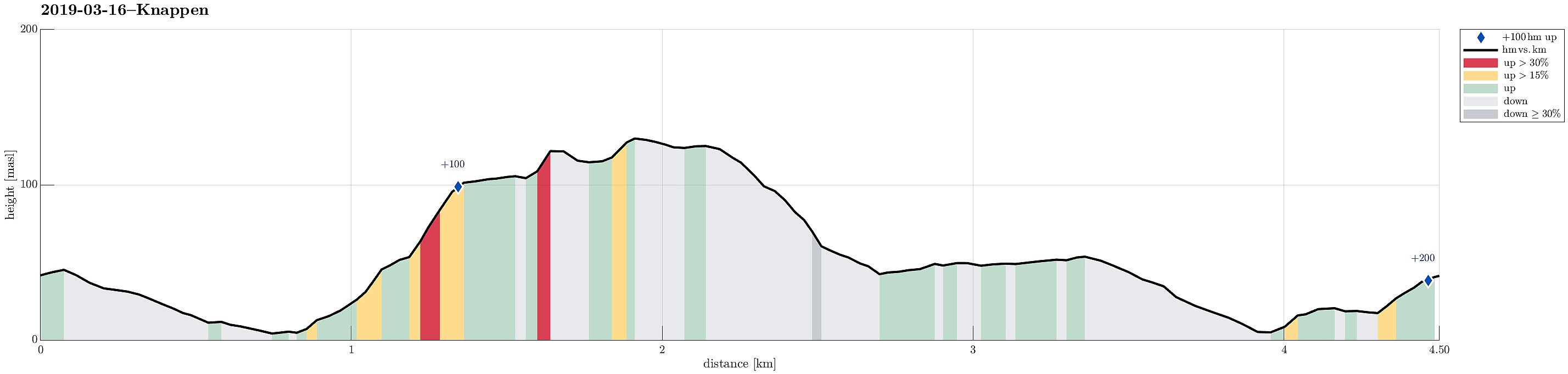 Before one of us had to leave the country, the prospect of sitting some hours on planes was enough to bring us out for a short hike (even though the weather was not the best). Since time was short, the decision was easy: one quick walk over Knappen! :-) Refreshing!
See also the related FB-page Hiking around Bergen, Norway .
Petter Bjørstad has a useful page about Knappen .
Before one of us had to leave the country, the prospect of sitting some hours on planes was enough to bring us out for a short hike (even though the weather was not the best). Since time was short, the decision was easy: one quick walk over Knappen! :-) Refreshing!
See also the related FB-page Hiking around Bergen, Norway .
Petter Bjørstad has a useful page about Knappen .
Brotavarden from Kallestad
- Datum:
- 10.03.2019
- Tourcharakter:
- Bergtour
- Tourlänge:
- 2:45h
- Entfernung:
- 7,7km
 I took the car to Sotra and there to Kallestad, leaving the road 555 at Trengereid. Right next to Sjoartjørna, I found the sharp turn to the left (and up to Kallestad), even though there wasn't really a street sign to see. I then parked next to Kallestad Grendahus and started my hike from there (first still on the road in western direction and between some houses). Soon, I left Kallestad behind and began my hike through wild Sotra. :-) When crossing over a meadow (south of Stølstjørna, still very near to Kallestad), I failed to see, where the trail continued (a bit further north of where I went). So, instead of hiking along the trail, I ended up on Skjenhaugen, enjoying the view from up there! I then continued (parallel to the trail) further in western direction (towards Kjereidet). >>>
