Archiv - Nach Datum
Archiv - Nach Aktivität
-
Andere Tour (1)
- Kayaking (1)
-
Andere Wintertour (4)
- Schneeschuhtour (4)
-
Fahrradtour (137)
- Fahrradtour Straße (9)
- Fahrradtour gemischt (51)
-
Fußtour (740)
- Bergtour (363)
- Jogging (18)
- Spaziergang (89)
- Wanderung (270)
-
Skitour (4)
- Tourenskilauf (4)
Archiv - Nach Geografie
Peakbookfreunde


Gesammelte Listen
-
Bergen ≥ 50m pf. og ≥ 100 m.o.h.
(87/89)
 97%
97% -
Most dominating tops of the Bergen peninsula
(68/75)
90%
-
Utvalgte topper og turmål i Bergen
(316/350)
90%
-
Alle topper i Bergen
(357/398)
89%
-
Opptur Bergen
(100/113)
88%
-
De syv fjell rundt Bergen
(6/7)
85%
-
Sund ≥ 50m pf.
(14/18)
77%
-
Os ≥ 50m pf.
(25/34)
73%
-
Søyler (fastmerker) i Bergen
(68/100)
68%
-
Fjell ≥ 50m pf.
(21/32)
65%

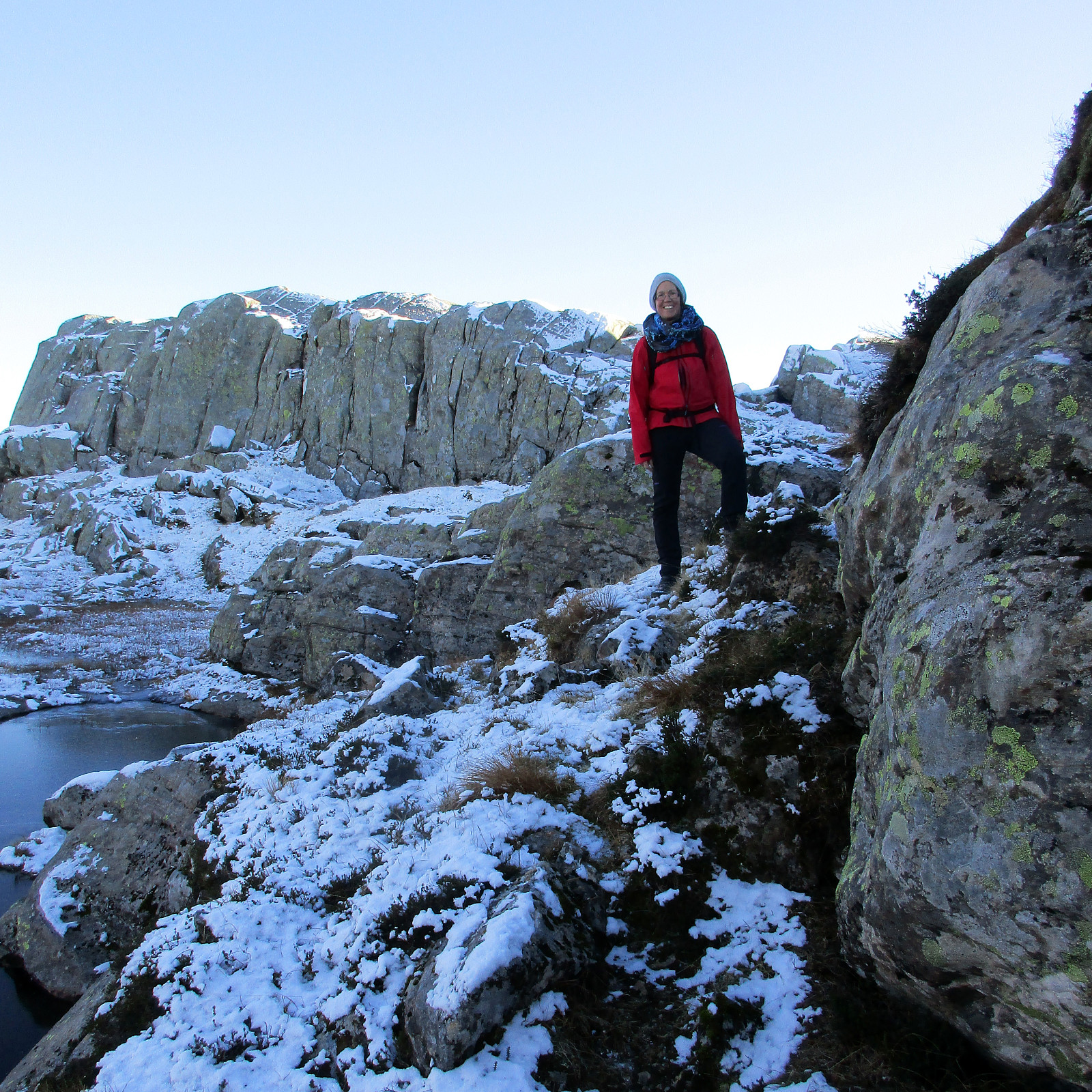
Sæterfjellet on a wonderful winter day
- Datum:
- 28.10.2018
- Tourcharakter:
- Bergtour
- Tourlänge:
- 7:00h
- Entfernung:
- 14,7km
 We drove from Bergen northwards on E39, continuing further in the direction of Førde after Knarvik. Right before entering Eikefettunnelen, we left E39 and continued on road 570 in northern direction. After coming by Dyrdalen, we soon reached Kjekallevågen and bridge over it. Right afterwards, on Borgaholmane, we parked and started our hike.
To start, we first crossed the bridge again (now per pedes and in southern direction) and headed towards Langeneset. At exactly the point, where the bridge ends, we left the road and started our ascent to Såta, stepping up a long ridge (south of Rasmusdalen), leading up to Gamlesetra, etc. The first check-point along this route is a point at about 115mosl, where the power line, which comes southwards across Kjekallevågen, makes a turn so that it >>>
We drove from Bergen northwards on E39, continuing further in the direction of Førde after Knarvik. Right before entering Eikefettunnelen, we left E39 and continued on road 570 in northern direction. After coming by Dyrdalen, we soon reached Kjekallevågen and bridge over it. Right afterwards, on Borgaholmane, we parked and started our hike.
To start, we first crossed the bridge again (now per pedes and in southern direction) and headed towards Langeneset. At exactly the point, where the bridge ends, we left the road and started our ascent to Såta, stepping up a long ridge (south of Rasmusdalen), leading up to Gamlesetra, etc. The first check-point along this route is a point at about 115mosl, where the power line, which comes southwards across Kjekallevågen, makes a turn so that it >>>
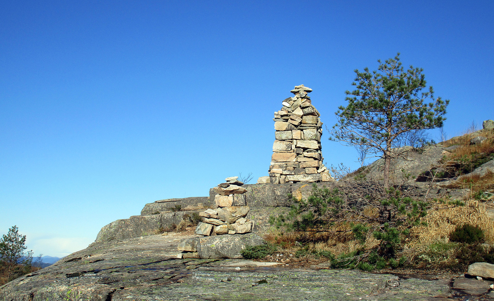
Rispingen on a beautiful day!
- Datum:
- 27.10.2018
- Tourcharakter:
- Bergtour
- Tourlänge:
- 3:30h
- Entfernung:
- 11,2km
 We took the car from Bergen to Osterøy (via the bridge east of Arna) and continued then further to Bruvik along Sørfjorden, before we eventually drove up northwards (between Brøknipa and Olsnesnipa) through Bjørndalen until we parked at the large parking spot at Båtaleitet (about 350mosl). From there, we hiked along the path which leads up to Skarvenipa via Flærne (on the west of Øvstebotnen). We then continued (still on the path) towards Rispingen, coming close to Raudskredbruna. Instead of continuing on the path (directly to Rispingen), we circled Raudskredtjørna on its northeast and ascended the short stretch to Raudskredbruna, enjoying some nice views from up there. From there, we decided to head back to the path (instead of descending further down towards Stemmetjørna) and >>>
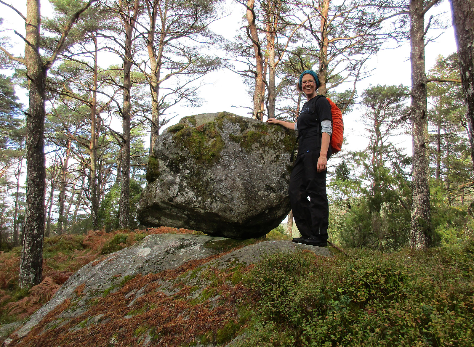
Loddo and Skaftafjellet
- Datum:
- 06.10.2018
- Tourcharakter:
- Bergtour
- Tourlänge:
- 4:30h
- Entfernung:
- 15,2km
 We took the ferry from Krokeide to Hufthammar and drove than along Huftarøy (road 154). Right next to Åkyllaren, there is a well-marked parking place for those, who wish to hike up to Loddo. We followed the main track (in southeastern direction) until we found a sign leading us on a separate track, heading north. Later, it turned out that we had left the main track too early and thus were a little bit too far west (as compared to the "red" track up to Loddo). Near Hestatjørna, we also managed to misinterpret another sign, which would have lead us back to the "red" track and up to Loddo. Instead, we followed the path further north, wondering more and more, where we had ended up! :-) After a while, we found another sign, which promised us a connection to the "blue" >>>
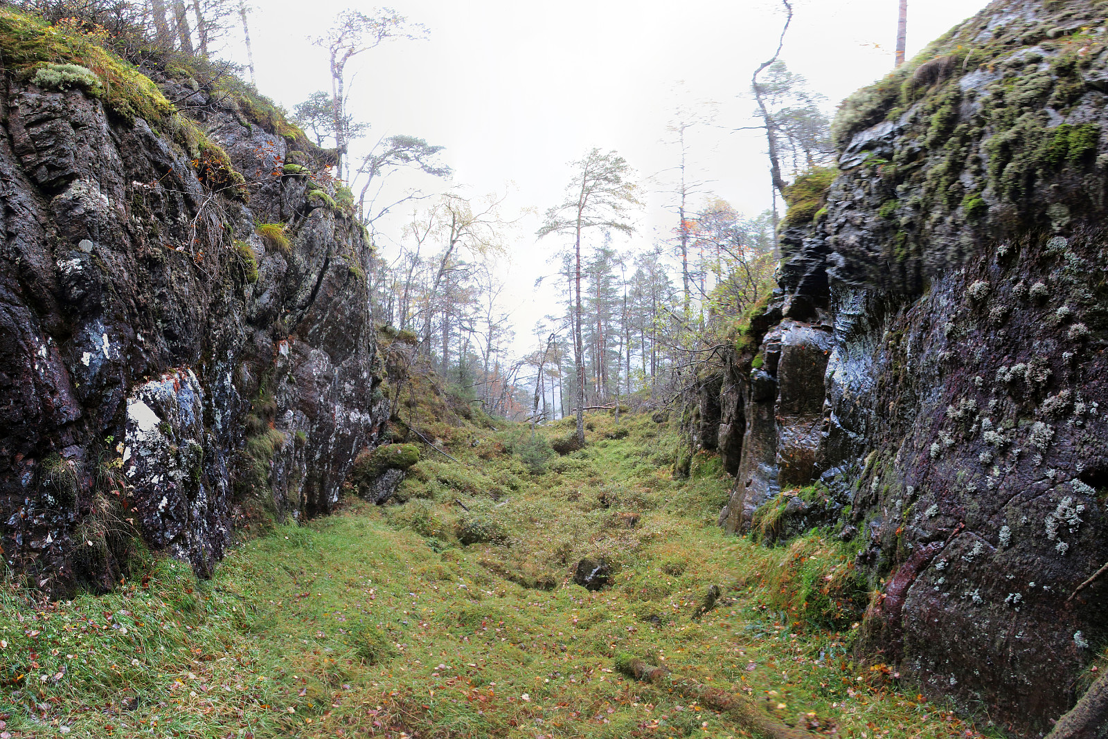
Nonkletten, Sørkletten, and Klubben
- Datum:
- 05.10.2018
- Tourcharakter:
- Bergtour
- Tourlänge:
- 3:00h
- Entfernung:
- 8,4km
 After a nice meeting in Fotlandsvåg, I wanted to use the afternoon to do a little hike nearby. Looking at the map, I got interested in a round near Kleppsvatnet, including Nonkletten, Sørkletten, and Klubben. I drove across Kleppsskaret and down to Kleppsvatnet (its southern end) and parked right next to the southernmost end of the lake.
From there, I headed into the direction of Nonkletten, parallel to the lake. The first (short) stretch was still a forest road, leading up to a small saddle. On the other, northern side, the road turned more and more into water until it got completely exchanged for a little stream, coming down from the northeast (and heading towards Kleppsvatnet). I first followed the stream upwards through the forest, before I decided to aim at a higher route towards >>>
After a nice meeting in Fotlandsvåg, I wanted to use the afternoon to do a little hike nearby. Looking at the map, I got interested in a round near Kleppsvatnet, including Nonkletten, Sørkletten, and Klubben. I drove across Kleppsskaret and down to Kleppsvatnet (its southern end) and parked right next to the southernmost end of the lake.
From there, I headed into the direction of Nonkletten, parallel to the lake. The first (short) stretch was still a forest road, leading up to a small saddle. On the other, northern side, the road turned more and more into water until it got completely exchanged for a little stream, coming down from the northeast (and heading towards Kleppsvatnet). I first followed the stream upwards through the forest, before I decided to aim at a higher route towards >>>
