Archive - Date
Archive - Activity
-
Bike trip (137)
- Bike trip - mixed (51)
- Bike trip - road (9)
-
Other trip (1)
- Kayaking (1)
-
Other winter trip (4)
- Snowshoe trip (4)
- Ski trip (4)
- Trip by foot (740)
Archive - Geography
Peakbook-Friends


Collected lists
-
Bergen ≥ 50m pf. og ≥ 100 m.o.h.
(87/89)
 97%
97% -
Most dominating tops of the Bergen peninsula
(68/75)
90%
-
Utvalgte topper og turmål i Bergen
(316/350)
90%
-
Alle topper i Bergen
(357/398)
89%
-
Opptur Bergen
(100/113)
88%
-
De syv fjell rundt Bergen
(6/7)
85%
-
Sund ≥ 50m pf.
(14/18)
77%
-
Os ≥ 50m pf.
(25/34)
73%
-
Søyler (fastmerker) i Bergen
(68/100)
68%
-
Fjell ≥ 50m pf.
(21/32)
65%

Sydpolen
- Date:
- 26.05.2013
- Characteristic:
- Hillwalk
- Duration:
- 3:00h
- Distance:
- 12.0km
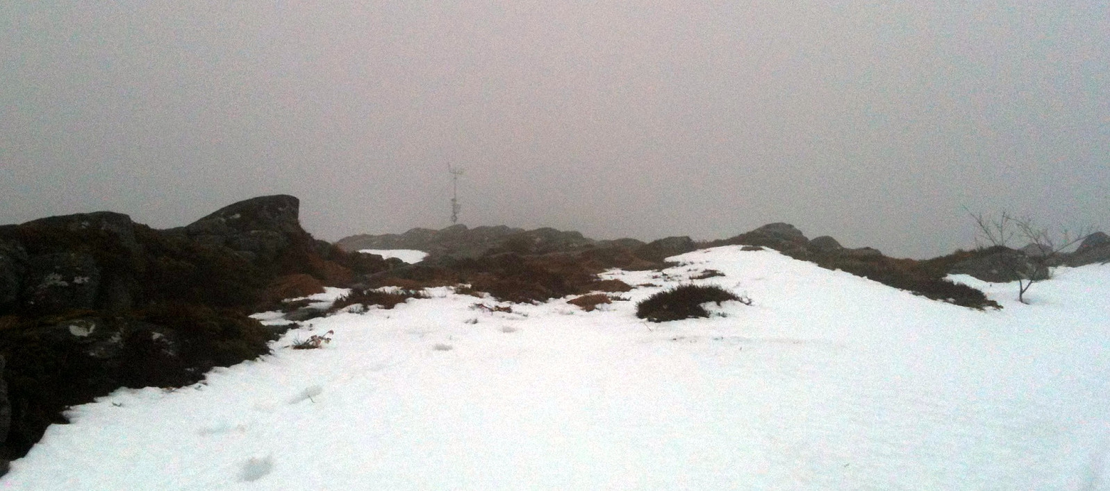
 Starting from the end of Hausdalen, first a bit through Brekkedalen, then up to Toro, before continuing to Sydpolen -- a really great tour!
Web page WestCoastPeaks.com provides useful information about S. Gullfjellstoppen (Sydpolen)
and also Petter Bjørstad has a useful page about Sydpolen .
Starting from the end of Hausdalen, first a bit through Brekkedalen, then up to Toro, before continuing to Sydpolen -- a really great tour!
Web page WestCoastPeaks.com provides useful information about S. Gullfjellstoppen (Sydpolen)
and also Petter Bjørstad has a useful page about Sydpolen .
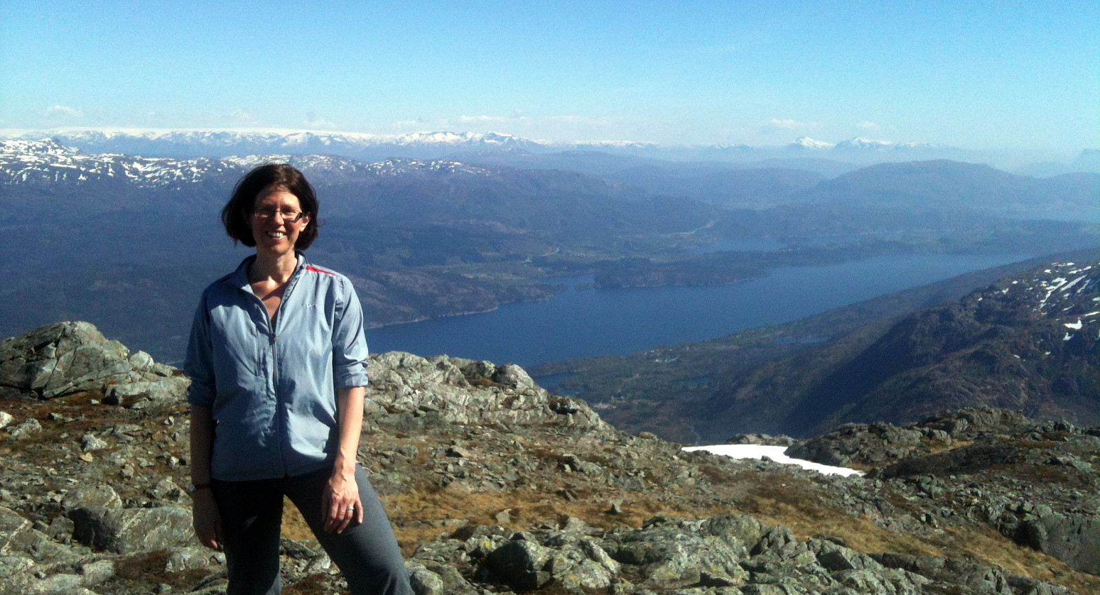
Siggjo
- Date:
- 20.05.2013
- Characteristic:
- Hillwalk
- Duration:
- 2:00h
- Distance:
- 5.1km
 Very nice morning hike (from Idlestigen up Siggjo and down again) -- really a nice mountain (standing quite alone and prominent)!
Stovegolvet
- Date:
- 19.05.2013
- Characteristic:
- Hillwalk
- Duration:
- 2:30h
- Distance:
- 6.9km
 Very nice hike, starting from Lundastølen, first parallel to the road which leads up to Kattnakken, then to the left and up (to the saddle), before turning left (and west), again, and continuing to Stovegolvet. Down via a step descent to the west and through Tyseskaret, before connecting back to the parking at Lundastølen.
Liatårnet
- Date:
- 09.05.2013
- Characteristic:
- Hillwalk
 Starting from Nordre Ekrhovda, it's easy and straight-forward -- for almost everyone! -- to get up Pyttane, following the access road to the radar stations.
Web page WestCoastPeaks.com provides useful information about Liatårnet
and also Petter Bjørstad has a useful page about Liatårnet .
Starting from Nordre Ekrhovda, it's easy and straight-forward -- for almost everyone! -- to get up Pyttane, following the access road to the radar stations.
Web page WestCoastPeaks.com provides useful information about Liatårnet
and also Petter Bjørstad has a useful page about Liatårnet .
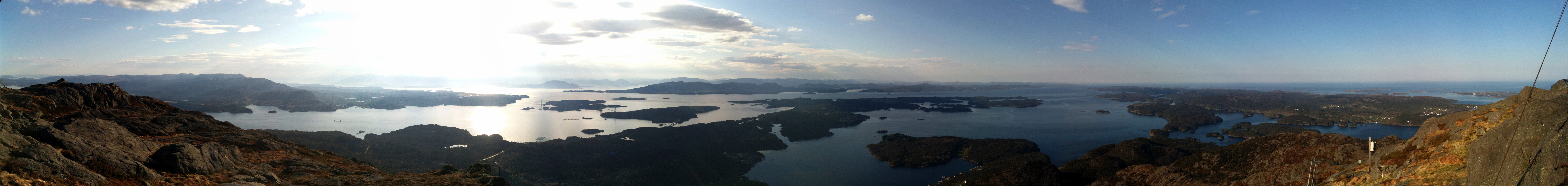
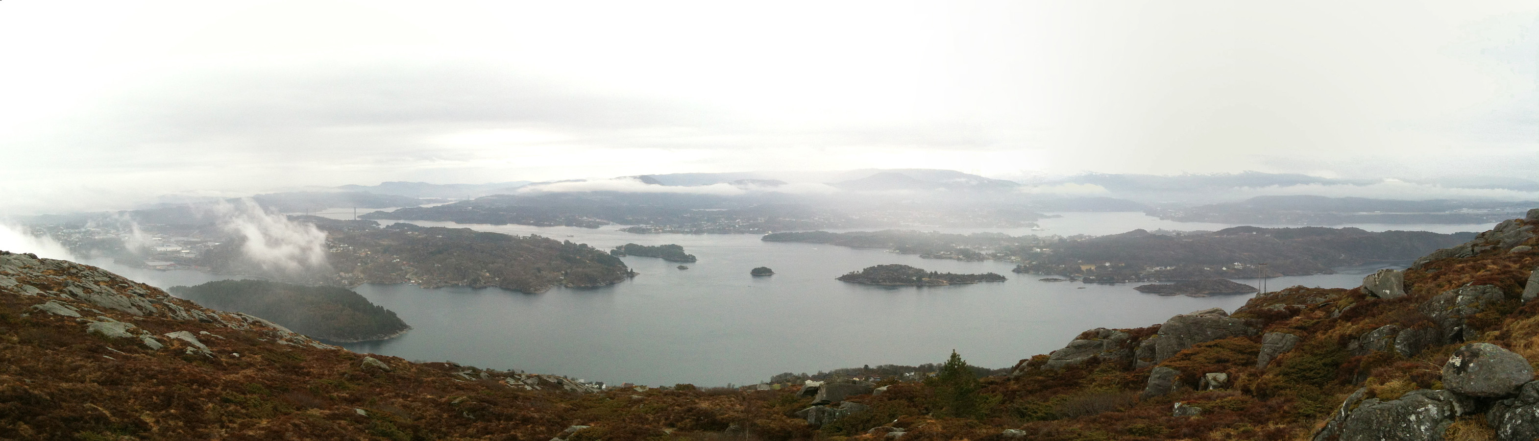
Hike around Fyllingsdalen
- Date:
- 05.05.2013
- Characteristic:
- Hillwalk
- Duration:
- 5:00h
- Distance:
- 21.7km
 In not the very best weather, a longer tour all around Fyllingsdalen!
Selected photos are available as Google photo album .
Web page WestCoastPeaks.com provides useful information about Løvstakken as well as useful information about Olsokfjellet, Gravdalsfjellet, and Damsgårdsfjellet .
In not the very best weather, a longer tour all around Fyllingsdalen!
Selected photos are available as Google photo album .
Web page WestCoastPeaks.com provides useful information about Løvstakken as well as useful information about Olsokfjellet, Gravdalsfjellet, and Damsgårdsfjellet .
