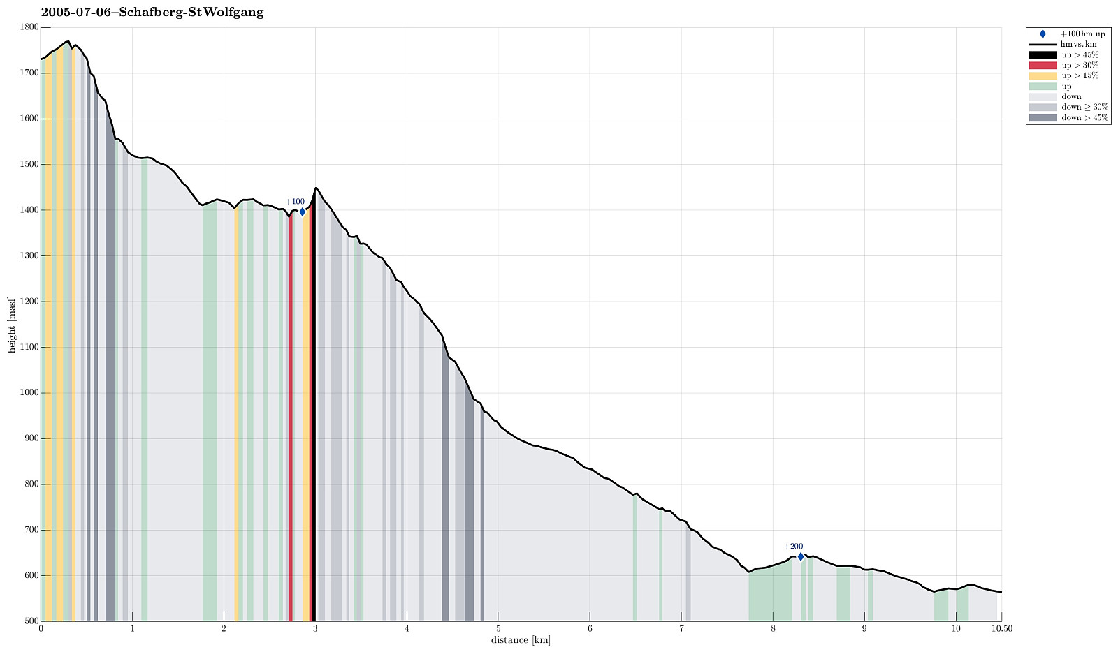
From Schafberg down to St. Wolfgang (06.07.2005)

| Startsted | Schafberg (1734moh) |
|---|---|
| Sluttsted | St. Wolfgang (570moh) |
| Turtype | Fottur |
| Turlengde | 6t 00min |
| Distanse | 10,5km |
| Høydemeter | 227m |
| GPS |
|
| Bestigninger | Schafberg (1782moh) | 06.07.2005 |
|---|---|---|
| Andre besøkte PBE'er | Himmelspforte (1736moh) | 06.07.2005 |
| Mittersee (1400moh) | 06.07.2005 |
Trip Summary
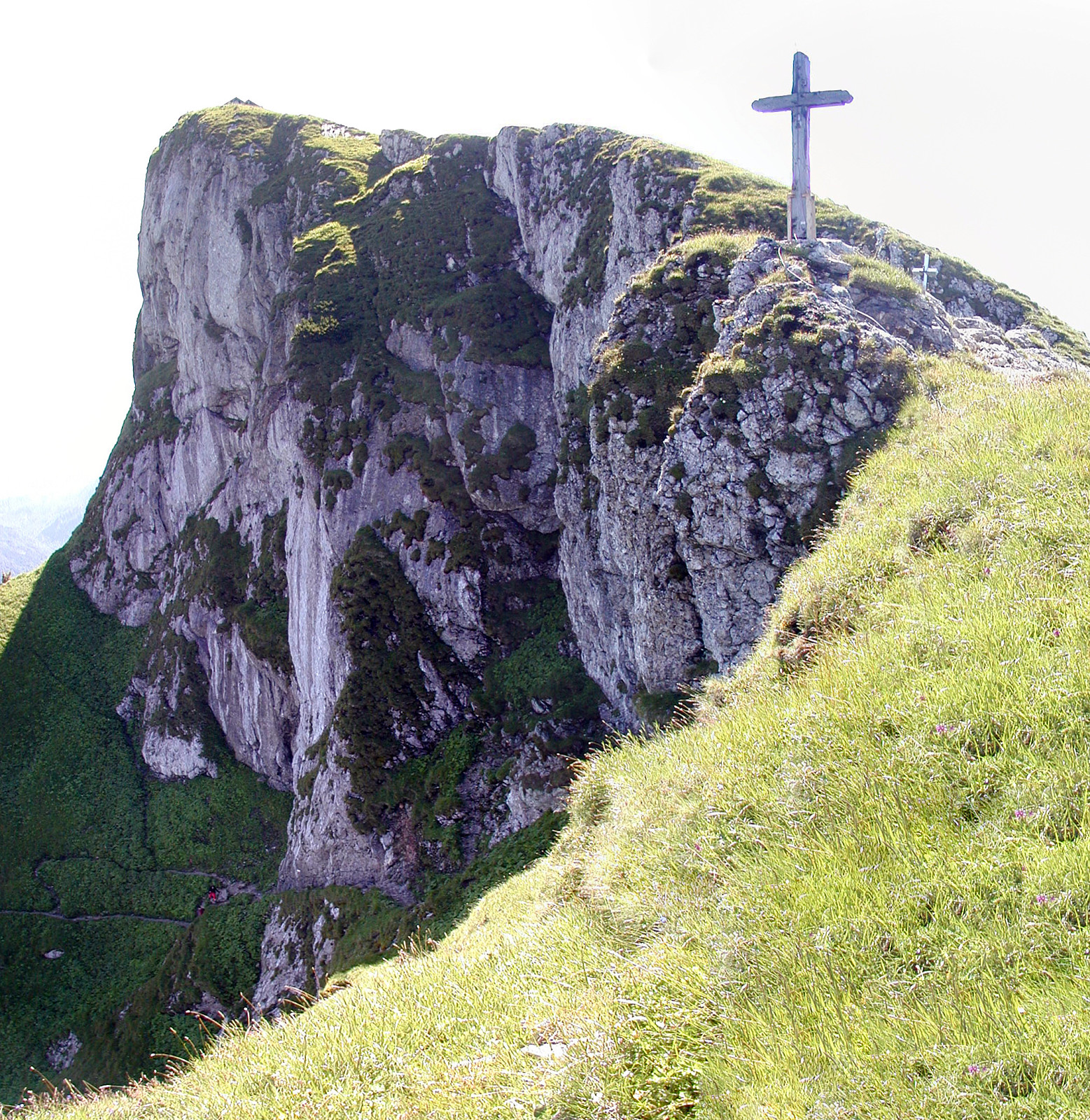
We first took the mountain rail up to the top of Schafberg with the plan to walk down from there to St. Wolfgang. From the top, we then descended first towards the nearby Himmelspforte (in northwestern direction). There, we then started the real descent, which indeed is quite steep on the northern side of Schafberg, at least in the beginning. We followed the Himmelspfortenweg downwards, passing by Suissensee, and rounding another ridge to get to Mittersee, a nice little lake underneath the majestic Schafberg. From there, we continued further along this path, getting very close to Mönichsee, before we eventually got (back) to the southwestern side of Schafberg, heading down towards St. Wolfgang. We quickly arrived at the Auerriesenweg, which we then followed down until we basically were in St. Wolfgang, already.
Useful Resources
See also the related FB-page Hiking around Bergen, Norway.

Kommentarer