Marmorøyen, Flatøyna, and Ulvøyna (08.02.2026)

| Start point | Troldhaugen (20m) |
|---|---|
| Endpoint | Troldhaugen (20m) |
| Characteristic | Hillwalk |
| Duration | 1h 30min |
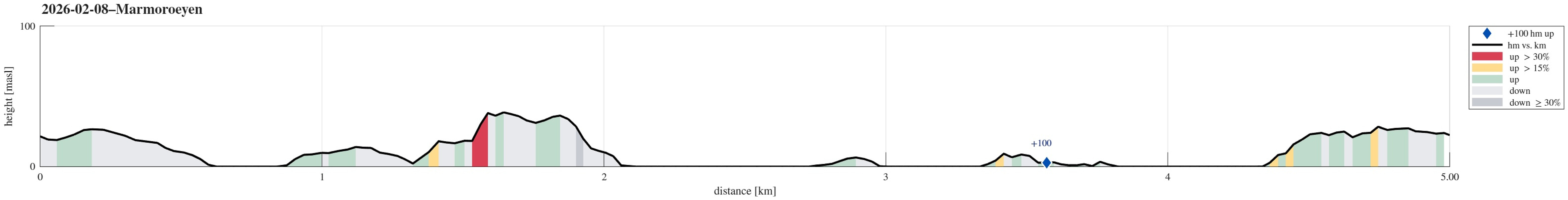
| Distance | 5.0km |
| Vertical meters | 150m |
| GPS |
|
| Ascents | Marmortoppen (42m) | 08.02.2026 |
|---|

Trip Summary
With everthing still frozen, we thought that it could work to simply walk over to Marmorøyen in Nordåsvatnet. We parked near Troldhaugen and approached the ice via Frants Beyers veg. While the ice on top of Nordåsvatnet indeed was thick and sturdy, it wasn't all trivial to get onto it -- due to the tides, the ice was broken up near the shore. One attempt to get onto the ice right at the beginning then ended up with breaking into the water right away (just with one leg). After finding a better spot, it then worked without problems. This little mishap in the beginning, however, resulted in the decimation of the walking team (from three down to two). Once on the ice, the next question was where a good "landing place" would be on Marmorøyen. Heading a bit outwards of Marmorsundet revealed such a place and getting onto the island worked just fine. We then headed first northwards on Marmorøyen, visiting first the place, where they apparently broke stones in previous times. From there, it was then not long up to the highest point on the island, Marmortoppen. Interestingly, one can find some pretty nice trails on Marmorøyen -- one just wonders, how many come here to enjoy them. After exploring Marmorøyen, we then headed out and onto Nordåsvatnet once again. This way, we got to enjoy very unsual views -- for example towards Ulriken and Vidden from Nordåsvatnet. Since we already had the chance to do so, we also visited Flatøyna, south of Marmorøyen, and Ulvøyna, which does not look as if it is visited regularly. To get back on land, we then crossed Marmorsundet a bit further south, going on shore at Troldhaugen. All in all, an interesting adventure (with one wet shoe). :-)
Photos
Selected photos are available as Google photo album.
Useful Resources
See also the related FB-page Hiking around Bergen, Norway.

User comments