Byrkjefjellet, Iendefjellet, and Skeisheia (02.08.2025)

| Startpunkt | Tryglakleiv P (430m) |
|---|---|
| Endpunkt | Tryglakleiv P (430m) |
| Tourcharakter | Wanderung |
| Tourlänge | 7h 00min |
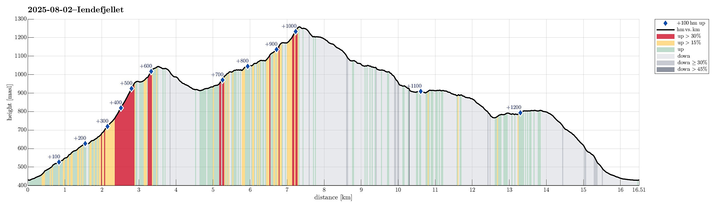
| Entfernung | 16,5km |
| Höhenmeter | 1.229m |
| GPS |
|
| Besteigungen | Byrkjefjellet (1.047m) | 02.08.2025 |
|---|---|---|
| Iendafjellet (1.260m) | 02.08.2025 | |
| Skeisheia (809m) | 02.08.2025 | |
| Besuche anderer PBE | RV 7 Røyro/Wallemtunet (430m) | 02.08.2025 |

Trip Summary
We expected "one last nice day before the rain" and thus aimed at one more nice hike! :-) Without much hesitation, we agreed to make a hike to Iendefjellet, north of Kvamskogen. We took the car from Bergen to Kvamskogen and parked at the southern end of Tryglakleiv, right next to the "main road" across Kvamskogen (road #49). We then started to hike up road Tryglakleiv, aiming at the heights in the southwest of Tryglakleivtjørnane. All of this is easy to find and from "up there" (a bit below 600 masl), the real ascent towards Byrkjefjellet starts (then mostly in northern direction). Following a proper trail, we completed the (partially steep) ascent relatively quickly. It was, however, very hot and we recognized and respected the roughly 600 height meters to the top of Byrkjefjellet. After a short break to refill some energy, we then started our hike towards Iendefjellet. This requires to first descend from Byrkjefjellet (mostly in northeasern direction). While there is not really any trail to see (at least we hardly saw any trail markers), this descent is gentle, easy, and very enjoyable (nice landscape!). Also, one sees the next landmark, Purkegjelet, nicely already from Byrkjefjellet, so that there's never a question about the direction. While approaching the foothills of Purkegjelet, one recognizes that there's a rather sharp "cut" in the landscape (towards the northwest) -- it's not much down, but still enough that requires a bit of planning for getting towards the other side (that became a point to find a proper way, once we were on our way back down). From the lower end of Purkegjelet, it's then "diagonally up" -- on the ridge in the southeast of Purkegjelet. Up there, one can find a nice number of trail markers, mostly erected stones and small cairns. At large, it's then "all the way up" towards the highest point on that ridge (where Purkegjelet connects with another "cut" that then runs in northeastern direction (and down). Up there (in the southeast of Iendefjellet), one crosses over and then find a way up to the top of Iendefjellet. While one can spot sporadic trail markers (mostly artificially erected stones) here and there, it's not important with finding "a trail" -- one can basically choose, which ascent route to take (while the southeastern flank of Iendefjellet is also steep, it's clearly well navigable in many places). About half way up, we then found some nice small waters (and only little snow and ice left) and took this invitation to enjoy another short break. Thereafter, it was quick to complete the ascent and enjoy the nice views from the top of Iendefjellet in all directions. To get back down, we then first descended along the southern ridge of Iendefjellet (into the direction of Såterindane). Once down to about 1200 masl, we then turned "back" (into easern direction). Following some diagonal stretches, we avoided the steepest sections. Eventually, it was no problem to get back down to the ridge "on the outer side" of Purkegjelet. After descending parallel to Purkegjelet, mostly along the same route that we had taken up, first, we then also found a spot, where we could descend into Såtedalen. From there, it was then just to follow a minor trail, which passes diagonally underneath Skeiskvanndalsskorane (in the west of Byrkjefjellet). Once down to about 750 masl, we decided that we would also include an ascent to Skeisheia, a bit further west. We first thought that we would find a heart-shaped stone there, since someone on Byrkjefjellet talked about it a few hours earlier, but when there, we could not identify any such stone. From Skeisheia, it was then back down -- first towards and into Dalagjelet. To get there, we first descended from Skeisheia in southeastern direction (without a trail), before connecting with the T-marked trail at about 750 masl. Then, it was just to walk down the marked trail (and eventually the road out to the parked car). Altogether, we returned highly satisfied with this nice hike!
Photos
Selected photos are available as Google photo album.
Useful Resources
See also the related FB-page Hiking around Bergen, Norway.
Petter Bjørstad has a useful page about Iendefjellet and also web page WestCoastPeaks.com provides useful information about Iendafjellet.
Web page UT.no from the Norwegian Trekking Association recommends a similar hike.

Benutzerkommentare