Kannikahaugen from Bildøybakken (15.02.2025)

| Startpunkt | Bildøybakken (40m) |
|---|---|
| Endpunkt | Bildøybakken (40m) |
| Tourcharakter | Wanderung |
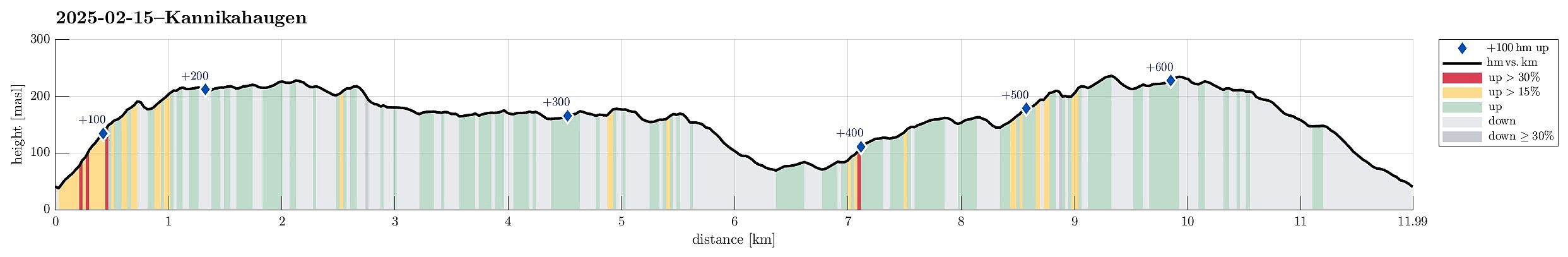
| Tourlänge | 5h 00min |
| Entfernung | 12,0km |
| Höhenmeter | 624m |
| GPS |
|
| Besteigungen | Bildøybakken (220m) | 15.02.2025 |
|---|---|---|
| Fjellasåta (173m) | 15.02.2025 | |
| Skinntikavarden (238m) | 15.02.2025 | |
| Skitnafenet (239m) | 15.02.2025 | |
| Tunga (130m) | 15.02.2025 | |
| Vardafjell (231m) | 15.02.2025 | |
| Besuche anderer PBE | Kanontårnet (Fjell Festning) (175m) | 15.02.2025 |
Trip Summary
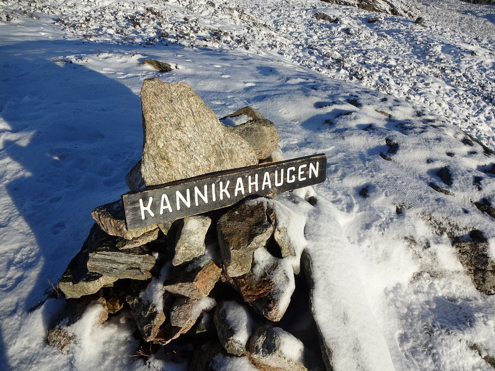
With a really nice weather forecast, we just wished to use the good weather for a nice walk. The idea was to start at Bildøyfjellet, north of Liatårnet on Sotra, and then hike a (squished) round from there (without any plan to actually ascend to Pyttane nor Liatårnet). We parked right next to Bildøybakken, not far from the corner, where one can also drive to Liaskjeret. Instead of using the access road towards the dam of Bildøyvatnet, we aimed at Bildøyfjellet directly (and without a trail). Given the below freezing temperatures, we found the conditions just right for such an off-trail ascent. Within not too long, we then arrived at Bildøykletten (and at the trail, there). We then followed the trail southwards (via Steinane and Vardafjellet). Before descending to Fjellfestningen, we also included a small hill south of Vardafjellet. Back on the trail, we then walked over to Fjellfestningen (via Klakkane and Storskora). From there, we connected to Jysthaugen, where we found another trail that brought us further south to Fjellasåta (Kannikahaugen). We then descended (further southwards) to Festningsvegen, which we then used to crossing over to Tunga. Hiking across Tunga (now northwards), we ended up on the eastern side of Gyravatnet (just as we wanted). Instead of then following the trail further down (in Dyrdalen), we took the (off-trail) route via Skitnafenet, enjoying some very nice views from up there. Eventually, we crossed over Skinntikevarden (in the east of Bildøyvatnet) to get back to Bildøybakken and our car. Not often that one can have so much nice sun on such a hike! :-)
Photos
Selected photos are available as Google photo album.
Useful Resources
See also the related FB-page Hiking around Bergen, Norway.

Benutzerkommentare