Segla and Barden (26.06.2023)

| Start point | Fjordgård (35m) |
|---|---|
| Endpoint | Fjordgård (35m) |
| Characteristic | Hike |
| Duration | 5h 30min |
| Distance | 8.3km |
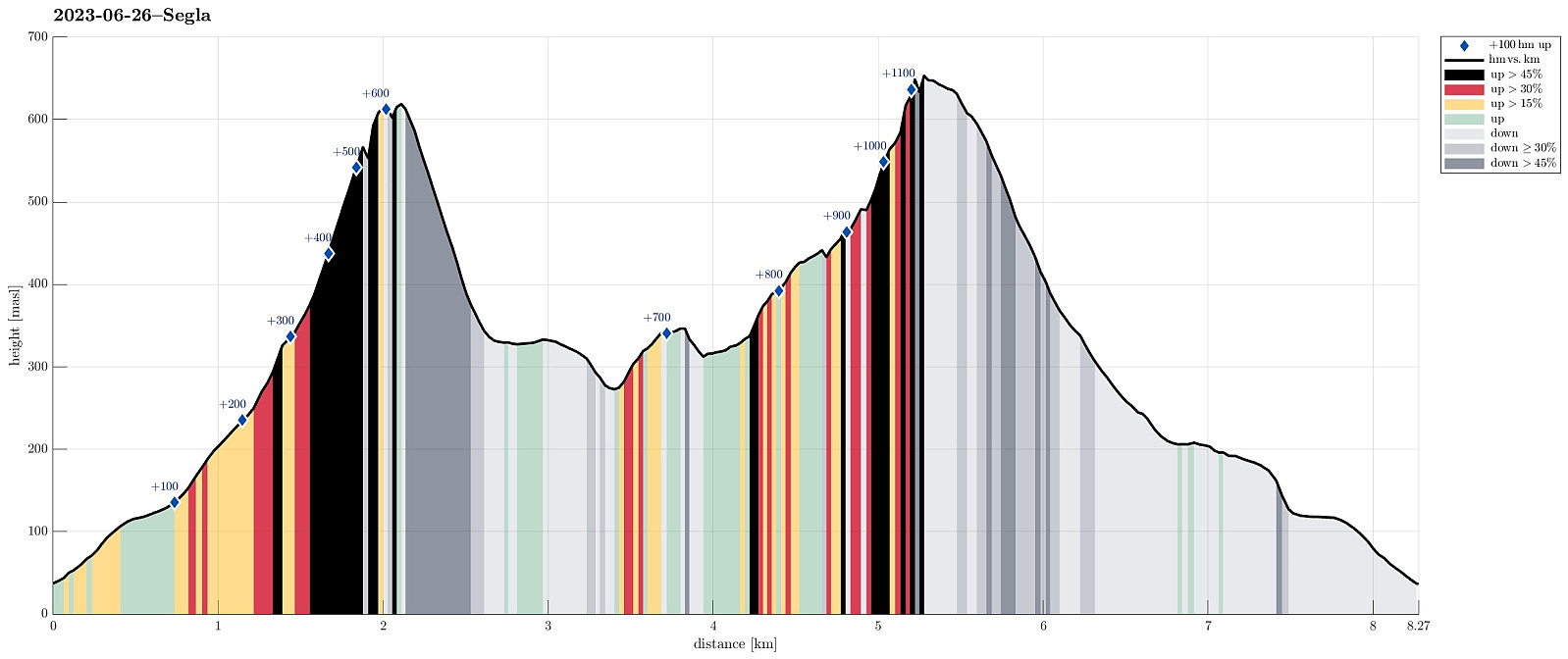
| Vertical meters | 1,153m |
| GPS |
|
| Ascents | Barden (659m) | 26.06.2023 |
|---|---|---|
| Segla (640m) | 26.06.2023 |

Trip Summary
We woke up to a wonderful day and decided to do Senja's signature mountain, Segla, at once! :-) We drove through Senja's longest tunnel, Fjordgårdtunnelen, to Fjordgård, were we parked near the trailhead for Segla. We followed the marked trail, first into the direction of Storevatnet, before then turning more towards Segla. Many do this hike to Segla -- thus, the trail is wide and easy to follow. At about 330 masl, one gets to the ridge and thus looks down to Mefjorden first the first time on this hike. The west side of this ridge is really very, very steep (close to vertical, actually), so if you are afraid of heights, then it may be good to choose your steps and views with some care up there. To the top of Segla, it's then "basically" just "straight up" on the eastern side of the cliff. This part of the trail is very steep. While the gradient per se is not really a problem, the trail has suffered from many visitors, already, which leads to an "intersting" combination of stones, big and small, and sand, requiring some extra care to not slip (note to myself, also, maybe?!). The top of Segla offers truly stunning views in all directions. There is some place for a nice rest, also, but if too many arrive up there at the same time, some body shuffling is necessary to make everyone feel safe. Down from Segla it's then along the same route (even though many variants have appeared by now with the ones a bit further to the east -- a bit further from the cliff edge -- offering some slightly less slippery conditions, especially for walking down). Given such a nice day, I then decided to also include Barden, while the others prefered to enjoy a slightly longer break on the ridge between the two mountains. To get to Barden, I crossed over Heia (while following the cliff edge towards Barden in southern/southeastern direction). Southeast of Heia, the actual ascent to Barden starts. This part, while also steep, is not too difficult (only twice I also needed my hands in addition to step up this ridge). The top of Barden is spacious and offers great views, as well! After a short water and apple break on Barden, I then started my descent (towards Arnakken). This also is a marked trail and it's not really difficult to descend along it (in a few steep places it's a little bit slippery due to sand, though). Following the trail down, one does not really get to Arnakken (and I did not see the time to include it, also), but heads towards Holta, walking around Storevatnet in its east -- for quite some stretches over luxury wooden planks that someone laid out there (very convenient!). All in all, Segla (and Barden, also!) make(s) a really nice hike on Senja, especially in nice weather, of course! :-)
Photos
Selected photos are available as Google photo album.
Useful Resources
See also the related FB-page Hiking around Bergen, Norway.
Web page UT.no from the Norwegian Trekking Association recommends a similar hike up to Segla.

User comments