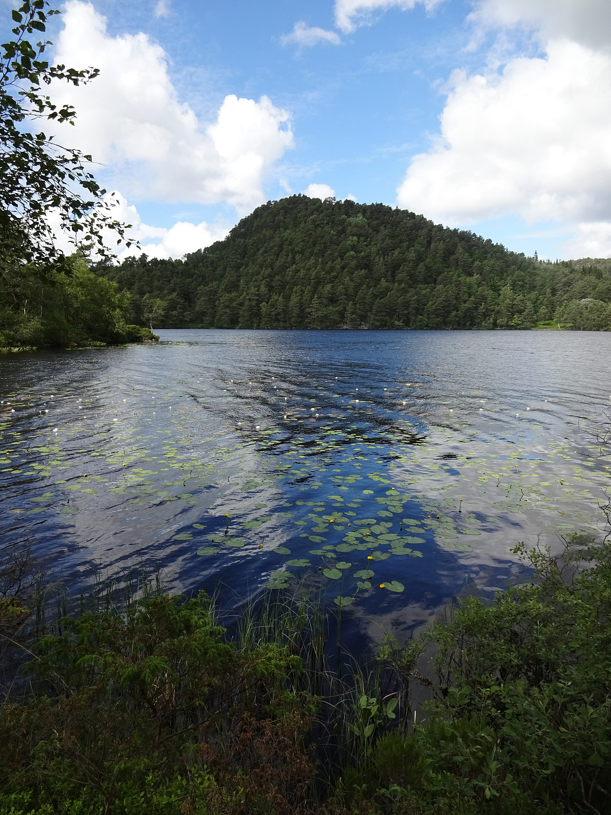
Kanadaskogen with Storhovden (02.07.2022)

| Start point | Varden (45m) |
|---|---|
| Endpoint | Varden (45m) |
| Characteristic | Walk |
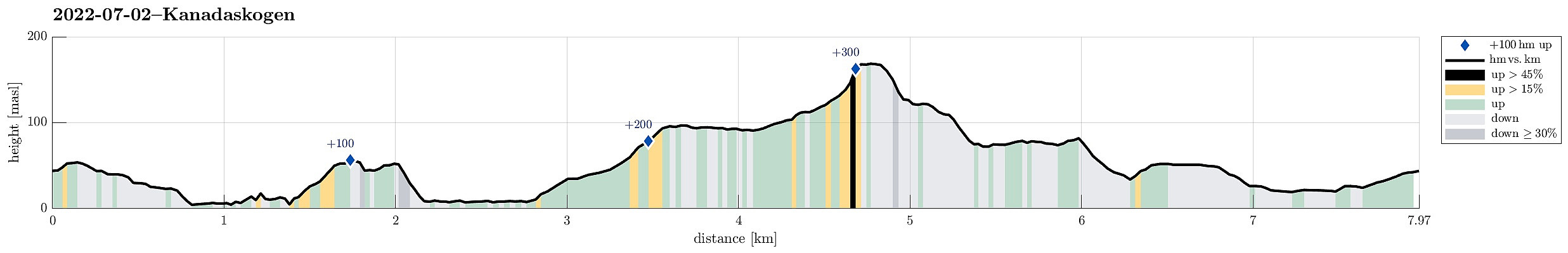
| Duration | 2h 30min |
| Distance | 8.0km |
| Vertical meters | 386m |
| GPS |
|
| Ascents | Storhovden (174m) | 02.07.2022 |
|---|---|---|
| Visits of other PBEs | Storhovden utsiktspunkt (172m) | 02.07.2022 |
| Tjørnahuk (91m) | 02.07.2022 | |
| Øst for Elvareidet (60m) | 02.07.2022 |
Note that this track has been created from memory, i.e., it was not recorded automatically.
Trip Summary
One of many rounds through Kanadaskogen, starting along Gjeddevatnet, also including Fureneset, this time, and then continuing to Bjørndalsvatnet and further to Svartatjørna. On our way back, we included Storhovden and Syningen, then passing by Stora Krokatjørna.
Photos
Selected photos are available as Google photo album.
Useful Resources
See also the related FB-page Hiking around Bergen, Norway.

User comments