Orretua and Vardafjellet from Kaland (27.02.2022)

| Startsted | Kaland (60moh) |
|---|---|
| Sluttsted | Kaland (60moh) |
| Turtype | Fottur |
| Turlengde | 2t 00min |
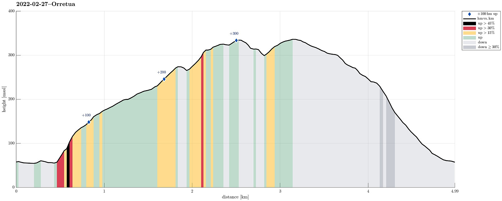
| Distanse | 5,0km |
| Høydemeter | 347m |
| GPS |
|
| Bestigninger | Orrtua i Fana (337moh) | 27.02.2022 |
|---|---|---|
| Vardafjellet i Fana (337moh) | 27.02.2022 | |
| Andre besøkte PBE'er | Kaland skole (62moh) | 27.02.2022 |
Trip Summary
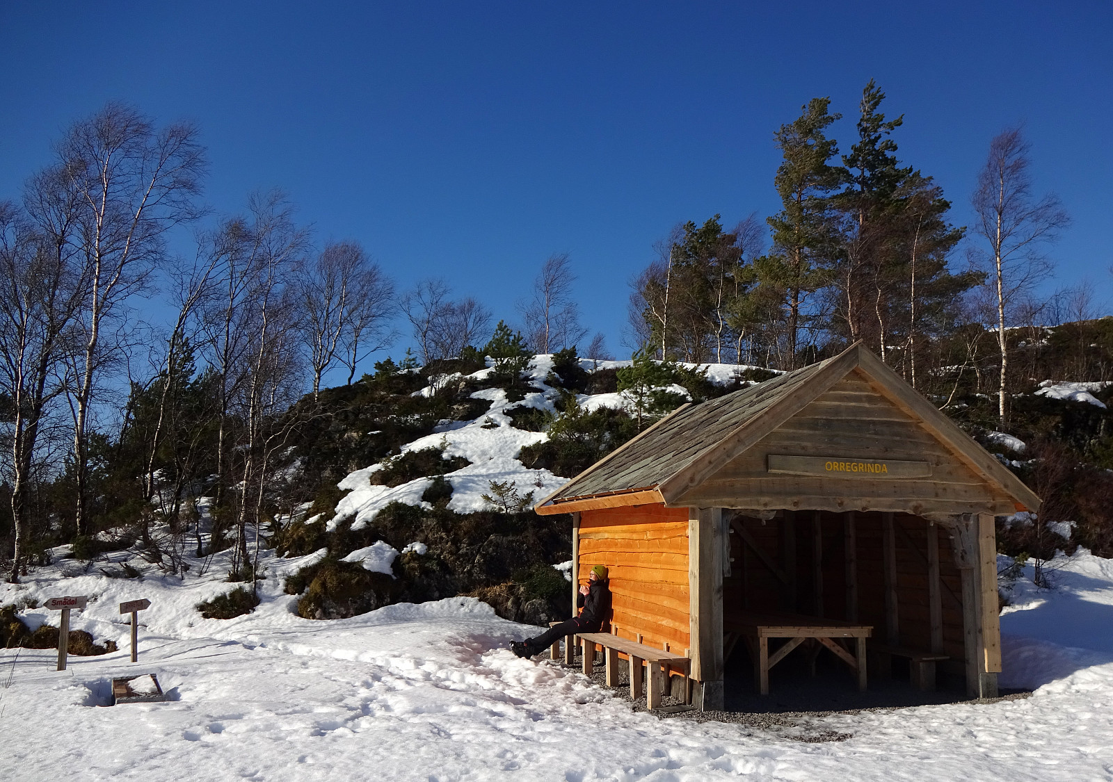
Hike from Kaland to Orretua and back to Kaland via Vardafjellet. We had parked near the sports arena of Kaland, walking from there in southeastern direction along Osvegen. Near Smådal, we ascended (without a trail) to the ridge in the northeast of the road. Once up the ridge, we then followed this ridge in northeastern direction (towards Orretua). About half way towards Orretua, we could have switched to a forrest road, which would have led us to Orretua quite easily. Instead, however, we continued along the "high edge" over the much lower extending Bontveitvegen (without a trail). This, first, was straight forward and easy. To connect, then, to Orretua, however, was a bit more challenging (but not really difficult). From Orretua, we then followed a nice trail to Vardafjellet (now in southwestern direction). Continuing in the same direction, we started our descent back to Kaland. While descending, we crossed Grøndalen to avoid the substantially steep Nukane. On the other, northwestern side of the valley, however, descending to Kaland was easy and straight-forward then.
Photos
Selected photos are available as Google photo album.
Useful Resources
See also the related FB-page Hiking around Bergen, Norway.
Petter Bjørstad has a useful page about Vardafjellet and also web page WestCoastPeaks.com provides useful information about Orretuva and Vardafjellet.
Web page UT.no from the Norwegian Trekking Association recommends a similar hike.

Kommentarer