Nice round around Bysheimvatnet (31.10.2021)

| Start point | Låstadvatnet (55m) |
|---|---|
| Endpoint | Låstadvatnet (55m) |
| Characteristic | Hike |
| Duration | 5h 30min |
| Distance | 16.1km |
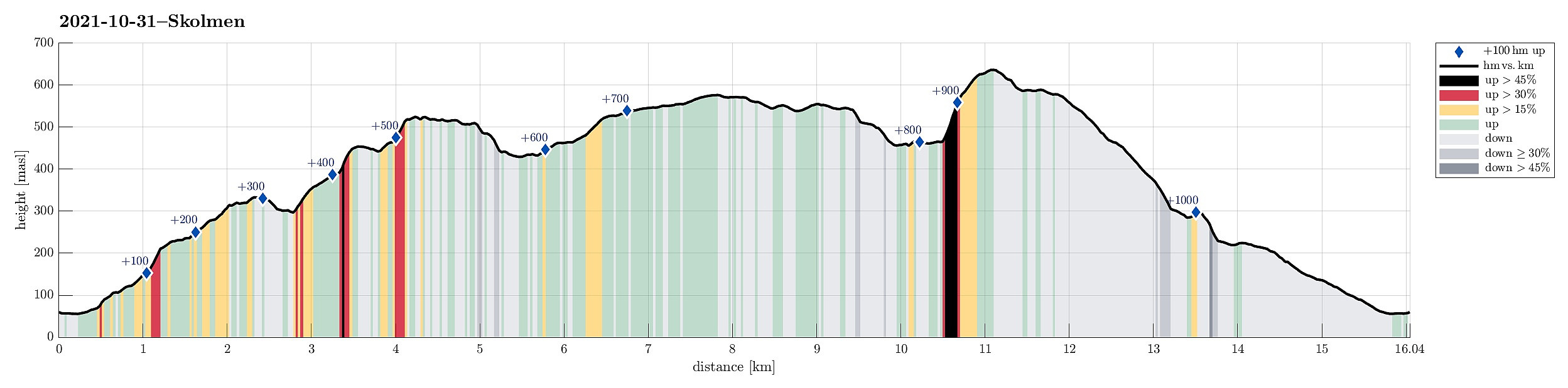
| Vertical meters | 1,020m |
| GPS |
|
| Ascents | Bjørnsfjellet (457m) | 31.10.2021 |
|---|---|---|
| Brunene (580m) | 31.10.2021 | |
| Geitnipa (548m) | 31.10.2021 | |
| Hådyret (340m) | 31.10.2021 | |
| Låstadkletten (558m) | 31.10.2021 | |
| Skolmen (528m) | 31.10.2021 | |
| Stongfjellet (640m) | 31.10.2021 | |
| Visits of other PBEs | Stongfjellet utsiktspunkt (591m) | 31.10.2021 |
| Vallfossen (250m) | 31.10.2021 |

Trip Summary
The weather forecast had improved and promised nice hiking conditions, which let us decide for a "proper" hike. :-) For some time already, we had looked at Skolmen on Osterøy and now a hike up there seemed just right to us. We drove from Bergen to Osterøy (via the bridge) and on Osterøy further to Gjerstad. Continuing past Gjerstad church and Skistad on Gjerstadvegen, we turned right on the other side of the stream, leading us towards Solbjørg. Taking the next turn to the left, we started our passage through Solbjørgsdalen, before turning right, again, at Rymla, driving eastwards into the direction of Låstadvatnet. After passing by the rather large business area next to the stream that comes out of Låstadvatnet, we parked at the side of the road and started hiking from there. At large, our plan was to make a nice round around Bysheimvatnet with Skolmen in its north.
Vallfossen and Hådyret
After passing by Låstadvatnet in its south (along Hovdavegen), we left the road to the left (into the direction of Kjerringastøleitet). We found a suitable connection further upwards that lead us to Meskadalen. Once we entered Meskadalen, we did not see anything that would have reminded us of a trail, but progress (up through that valley) was nonetheless straight-forward and without difficulties. Since our plan was to get up to Hådyret, after all, we kept aiming towards the southeast in Meskadalen, ascending steadily an intermediate little height west of Hådyret. While we possibly could have attempted a direct ascent of Hådyret from there (it's steep and we did not see any trail), we decided to first pay a visit to Vallfossen (in the south of Hådyret). In fact, once we had crossed the little intermediate height, we identified a simple trail that appeared to lead us into the right direction. Following this trail, we then made it easily and nicely to Vallfossen. This waterfall was truly impressive with a lot of water jumping down towards Tropstølen! :-) After we had enjoyed Vallfossen for a few minutes, we continued along the trail, which then nicely lead us up to Vallfosshaugen and from there to Hådyret (one steps around the steeper, western side of Hådyret by conveniently walking a little bit in a circle). From Hådyret, one has really nice views towards the west; so even though it's not exactly a very high top, a visit to Hådyret is still recommended.
Bjørnsfjellet and Skolmen
Next, we aimed at Skolmen (via Bjørnsfjellet). To get there, we had to cross Fugledalen somehow. The matter of fact that the terrain at the upper end of Fugledalen is not steep lead to a new challenge: how to get over the swampy stretches after days of extensive rain? :-) With a bit of back and forth, however, we also managed this. On the eastern side of Fugledalen, we the followed some deer tracks upwards. This lead us first towards a nice intermediate height in the west of Bjørnsfjellet (in the northeast of Kupetjørna further below). From there, we continued further upwards into the direction of Bjørnsfjellet followed further deer tracks. Bjørnsfjellet itself did not impress us all to much (you do have some nice views from there, however). Continuing further towards Skolmen was also a little challenge at first (due to further swamps), but as soon as we got to the actual ascent to Skolmen, we found a trail and following this one up to Skolmen was then easy and straight-forward.
Geitnipa and Brunene
From Skolmen, after enjoying views both to the south (across Bysheimvatnet) and to the north, we aimed at Geitnipa on the other side of Fagerstølsvatnet. Getting down to Fagerstølen, we managed to miss the trail, first, resulting in a moderate bush war for a few height meters. At Fagerstølen, we then had a short break, before we continued further, walking up to Geitnipa through a field of cabins. From Geitnipa, we then enjoyed some nice views across the large lakes in the north of Geitnipa. From Geitnipa, we continued along the heights (turning into a more southern direction, after all), arriving at Løtveitbruna shortly after. There, we then turned right, again (now in western direction), heading towards Låstadkletten.
Back via Stongfjellet
With that we had started our way back which should lead us westwards in the south of Bysheimvatnet. From Låstadkletten, we first enjoyed from views (especially towards the north and across Fagerstølsvatnet), before we then tried to find a trail down to Lonasætra. At first, we chose a non-optimal trail to start with (a bit too far east and south), but within a few minutes we were back on track. Shortly later, we arrived at Lonasætra, following a proper trail. From Lonasætra, we knew that we should get over to Lonadalen "somehow" and "heading into the right direction" did the job. Once at the upper section of Lonadalen, we came to a decision point: continue along the trail south of Bysheimvatnet or include Stongfjellet. After agreeing on meeting again near Antunkvilet, we split ways at this point. From below at the upper end of Lonadalen, I had the impression that it should be possible to ascend to Stongfjellet "direttissima". While very steep, especially between 475mosl and 575mosl, it indeed was well possible to find a "way" between the cliffs, ascending via some grass and through some low bushes. Once above 575mosl, the terrain flattened out, again, and finishing the ascent to Stongfjellet was easy, again. From the top of Stongfjellet, I then headed towards the northwestern ridge of Stongjfellet that was supposed to bring me down to Antunkvilet, again. This worked out nicely and smoothly and soon later, we had found each other again, before descending down Kleivane to get to Hagebø.
Conclusion
At Hagebø, we then stepped out onto the road there, following this road down to Låstadvatnet and to our car. All in all, we returned highly satified by this nice and varied autumn hike. Lovely! :-)
Photos
Selected photos are available as Google photo album.
Useful Resources
See also the related FB-page Hiking around Bergen, Norway.
Petter Bjørstad has a useful page about Stongfjellet and also web page WestCoastPeaks.com provides useful information about Stangfjellet.
Web page UT.no from the Norwegian Trekking Association recommends a hike from Hagebø that includes Stongfjellet.

User comments
Direttissima :)
Written by hbar 03.11.2021 17:09This made me think of a YouTuber famous for doing so-called straight line missions. Here's the first part of his trip in Norway: https://www.youtube.com/watch?v=CDPhdkdR9qI
But I assume you're way too fond of roundtrips to only hike in a straight line for a whole trip..? ;)
Re: Direttissima :)
Written by HHauser 03.11.2021 17:35I've seen that straight-line attempt, actually! :-) But, yes, I do prefer nice rounds for sure! :-) Thanks for your comments!