Round around Storavatnet (09.01.2021)

| Start point | Krohnegården (150m) |
|---|---|
| Endpoint | Krohnegården (150m) |
| Characteristic | Hillwalk |
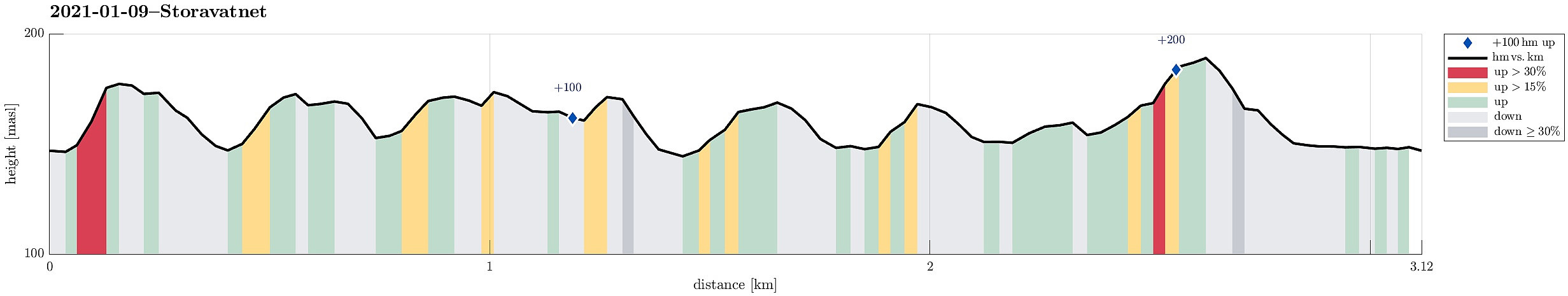
| Duration | 1h 30min |
| Distance | 3.1km |
| Vertical meters | 212m |
| GPS |
|
| Ascents | Nordåsen (179m) | 09.01.2021 |
|---|---|---|
| Haug nord for Svartatjørna (193m) | 09.01.2021 | |
| Haug vest for Svartatjørna (180m) | 09.01.2021 |
Trip Summary
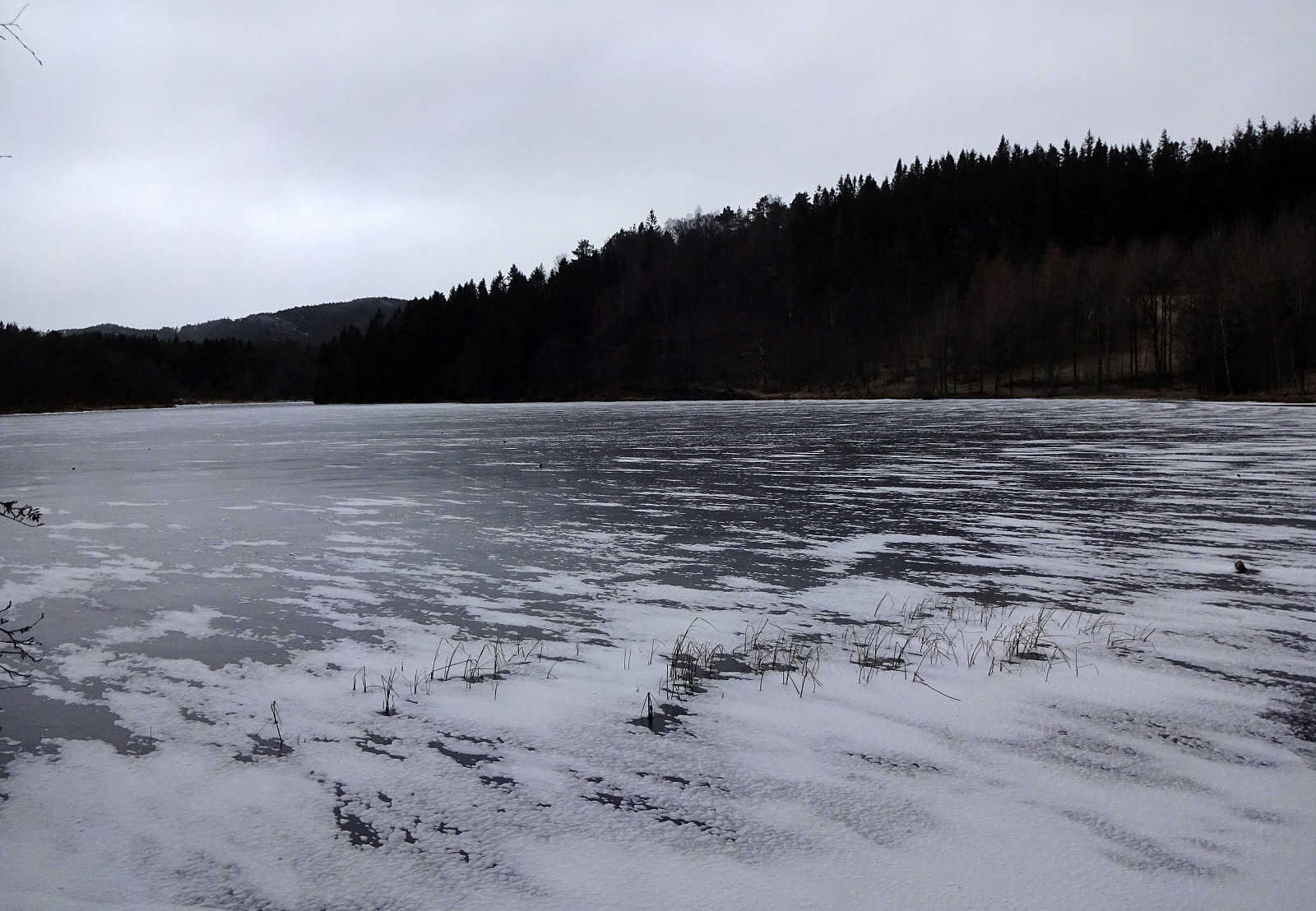
Since there wasn't much daylight left and since the weather was not exactly lovely (it was OK though!), we decided for a short round in the neighborhood. We thus first drove up to Krohnegården in the north of Fyllingsdalen and parked near Svartatjørna. The goal was to make one round aroud Storavatnet (in clockwise direction), but to do that off the main trail. This way, we included a number of small hills, including Søråsen and Nordåsen. From some of them, you actually have some nice views, mostly down into Fyllingsdalen, but also to Løvstakken in the east and Olsokfjellet and Damsgårdsfjellet in the west. While off the main trail, most of this round was still on "minor trails" (and without any difficulties). Only the traverse of the hill in the very northwest of Storavatnet (where also quite a few houses at a side road of Øvre Fyllingsveien are) is not something that needs to be repeated. Also on our way back, now on the east side of Storavatnet (but west of Litlavatnet), it was nicely possible to traverse all the smaller hills there. The one that is highest there (kind of "in the middle" of Storavatnet) has also a little side "peak" (in its west) that offers some nice view. After then walking around Svartatjørna, we were soon back. Not a long round, but nice to get some fresh air!
Photos
Selected photos are available as Google photo album.
Useful Resources
See also the related FB-page Hiking around Bergen, Norway.

User comments