Livarden (06.04.2019)

| Startpunkt | Øvre Totland parking (280m) |
|---|---|
| Endpunkt | Øvre Totland parking (280m) |
| Tourcharakter | Bergtour |
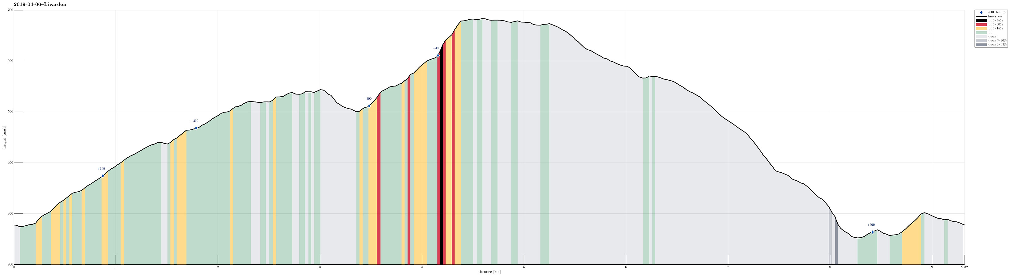
| Tourlänge | 3h 30min |
| Entfernung | 9,3km |
| Höhenmeter | 552m |
| GPS |
|
| Besteigungen | Livarden (683m) | 06.04.2019 |
|---|---|---|
| Totlandsfjellet (546m) | 06.04.2019 | |
| Besuche anderer PBE | Ulvursvarden (677m) | 06.04.2019 |
| Øvre Totland parkering (280m) | 06.04.2019 |
Trip Summary
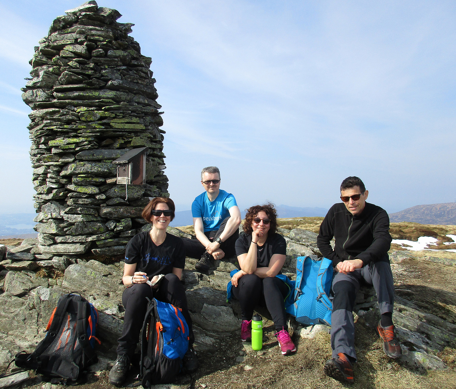
We started from the small parking place at Øvre Totland and headed right towards the long ridge of Totlandsfjellet. Enjoying lovely spring weather, we ascended swiftly towards the top of Totlandsfjellet. The next goal was then to cross over to Livarden. When getting over from Totlandsfjellet to Livarden near Seterhaugen, we were positively surprised that the terrain was not overly wet (even though we still saw a little bit of snow there). From Karvestølen it was then only a few minutes to ascent to Livarden via Nordvardsbrekkene. At Livarden, we enjoyed a short break, before heading back. Instead of hiking back the same path, however, we followed the ridge towards Ulvursfjellet (the main path up and down Livarden). Instead of staying on the higher ridge (with the main path), we followed a minor path towards Sverinden. After switching over to this ridge (Sverinden), we descended it along a nice, smaller path until we came to Mjelkebakkane. There, instead of connecting to the road (towards the east / left), we continued further downwards until we came to another path (along a fence). This brought us then over to Riple and from there to Øvre Totland. Then, it was only to walk down the road for a few meters, before we were back to the parking spot. Clearly, a very nice round, and then, of course, in such nice weather! :-)
Photos
Selected photos are available as Google photo album.
Useful Resources
See also the related FB-page Hiking around Bergen, Norway.
Petter Bjørstad has a useful page about Totlandsfjellet and also web page WestCoastPeaks.com provides useful information about Totlandsfjellet as well as also about Livarden.
On Bergentopp 200 there is a page (in Norwegian) about Totlandsfjellet and one about Livarden.

Benutzerkommentare