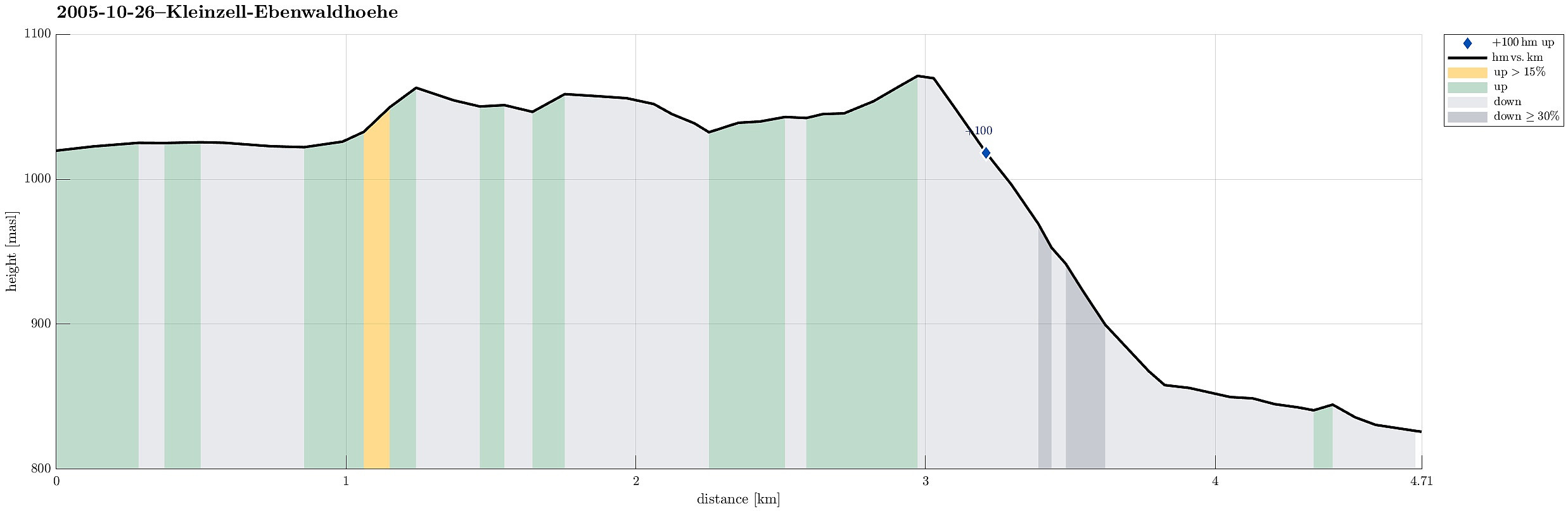
Across the Ebenwaldhoehe to Schwarzwaldeck (26.10.2005)

| Startpunkt | Ebenwaldhoehe (1.020m) |
|---|---|
| Endpunkt | Ghf. Plattner (825m) |
| Tourcharakter | Wanderung |
| Tourlänge | 4h 00min |
| Entfernung | 4,7km |
| Höhenmeter | 104m |
| GPS |
|
| Besteigungen | Schwarzwaldeck (1.077m) | 26.10.2005 |
|---|---|---|
| Besuche anderer PBE | Ebenwald parking (1.020m) | 26.10.2005 |
| Kaltenreiter Pass (1.064m) | 26.10.2005 |
Note that this track has been created from memory, i.e., it was not recorded automatically.
Trip Summary
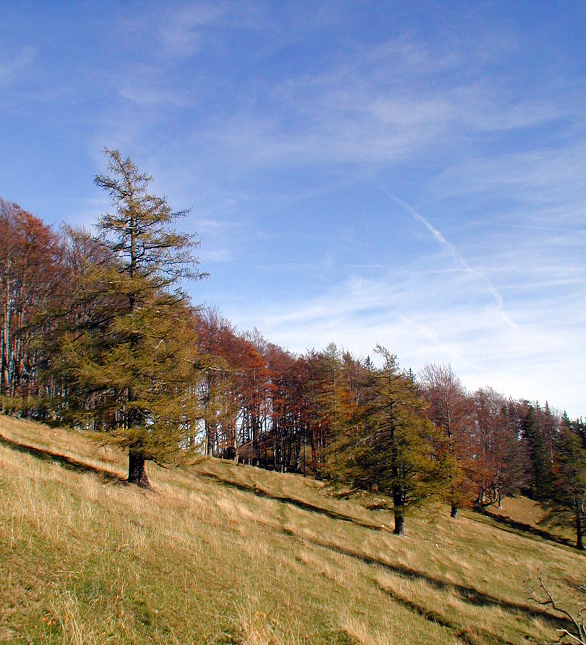
On this autumn day, we decided to make a hike in the height. From Kleinzell, we took the road up to Ebenwald, where we started our hike already above 1000mosl. Most of the hike was then pretty much on the same height until we arrived at Schwarzwaldeck at 1077mosl. From there, we then descended comparably steeply until we arrived at a place serving food and drinks, right next to the road.
Useful Resources
See also the related FB-page Hiking around Bergen, Norway.

Benutzerkommentare