Kolbeinsvarden (27.09.2015)

| Startsted | Bergheim (90moh) |
|---|---|
| Sluttsted | Bergheim (90moh) |
| Turtype | Fjelltur |
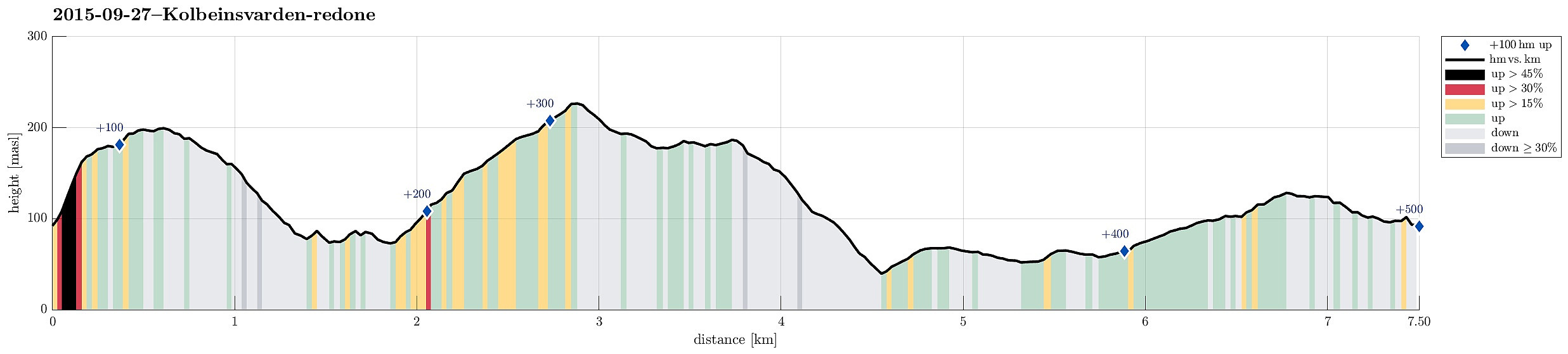
| Turlengde | 2t 30min |
| Distanse | 7,5km |
| Høydemeter | 495m |
| GPS |
|
| Bestigninger | Brikafjellet (204moh) | 27.09.2015 |
|---|---|---|
| Kolbeinsvarden (231moh) | 27.09.2015 | |
| Andre besøkte PBE'er | Kolbeinsgrind (227moh) | 27.09.2015 |
Trip Summary
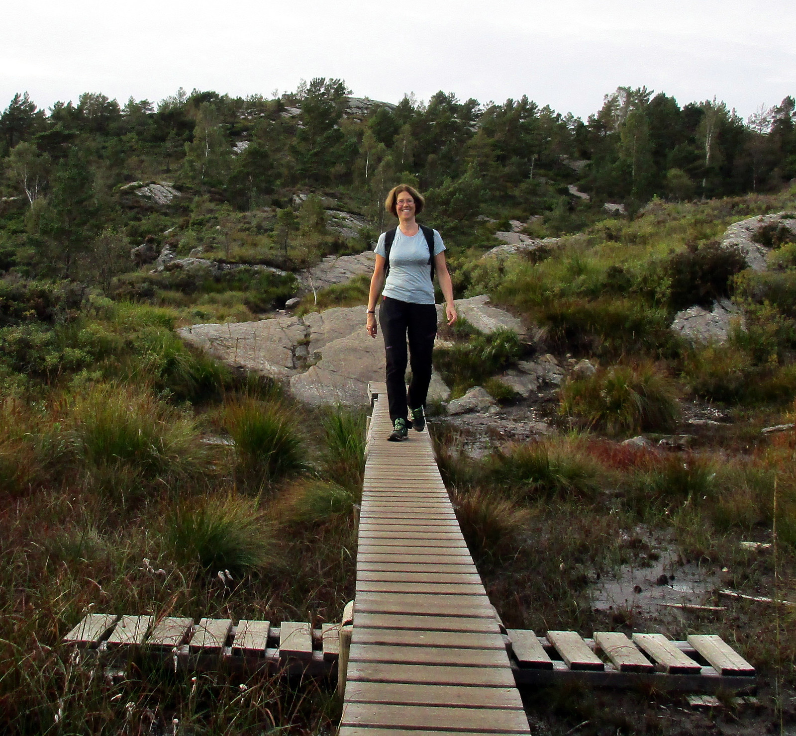
Aiming for a quick sunday afternoon hike, we drove to Askøy and found our way to Bergheim. Only a few meters into Bergheimsvegen, we found a place to stop and a path that would lead to Kolbeinsvarden. Instead of directly going there, however, we first ascended to Birkafjellet, which is a nice cliff right over Kleppe with great views! From there, we followed the path northwards (and downwards) until we came to a fence that protects Kleppevatnet. The path continues right next to the fence and we followed it further, searching for the right spot to ascend to Kolbeinsvarden. After a short detour -- basically, we followed the path along the fence a little too far, we found the (pretty well visible) path and ascended through a nice little valley up to the heights right underneath Kolbeinsvarden. Up there, hiking is really very nice! Quickly, we came to Kolbeinsvarden, from where we connected to another path that leads back towards Kleppestø (via Skogadalen). Our plan was to find the path up Storevarden and we found the place, where this path leaves the main path through Skogadalen. We got, as expected, to a small lake (which is really nice). Only a few meters further, we also found the other small lake (in the north of the path). There, we took the wrong turn, getting onto the path that leads eastwards (and downwards), instead of the path towards Storevarden, that leads more to the south. It took us a little too long to finally understand that we were on the wrong path, so we did not turn around anymore (also, it was not so clear to us, where we had missed the right path). We continued to descend towards Byfjorden and about half way down we turned right, following a very small and very wet path that lead us downwards in a diagonal fashon (now in southeastern direction). After having crossed a small stream, we got to the road Svartedalsvegen, which we then followed in the direction towards Kleppestø. We rounded Storevarden and got to Bergheimsvegen, which we followed back to our car. All in all, it is nice to hike in the higher areads right underneath Kolbeinsvarden. Also, one can enjoy nice views in basically all directions, especially from the top of Kolbeinsvarden.
Photos
Selected photos are available as Google+ photo album.
Useful Resources
Web page WestCoastPeaks.com provides useful information about Kolbeinsvarden
and also Petter Bjørstad has a useful page about Kolbeinsvarden.
Web page UT.no from the Norwegian Trekking Association recommends another hike up and down Kolbeinsvarden.

Kommentarer