Sangoltshornet (15.02.2015)

| Startsted | parking next to Sangoltvatnet (40moh) |
|---|---|
| Sluttsted | parking next to Sangoltvatnet (40moh) |
| Turtype | Fjelltur |
| Turlengde | 1t 30min |
| Distanse | 4,0km |
| Høydemeter | 308m |
| GPS |
|
| Bestigninger | Sangoltshornet (186moh) | 15.02.2015 |
|---|---|---|
| Andre besøkte PBE'er | Sangoltshornet P-plass (37moh) | 15.02.2015 |

Trip Summary
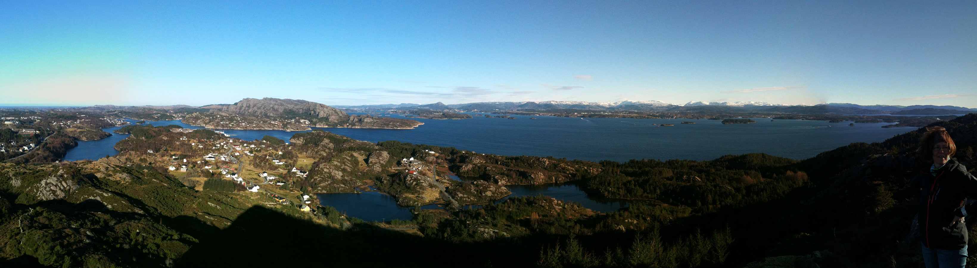
We started right next to Sangoltvatnet and quickly found a path that led us up to Sangoltshornet. This really is no difficult, nor demanding hike. Still, one can enjoy nice views, for example, over Raunefjorden. From Sangoltshornet, we then continued -- without path, mostly -- in a south-easterly direction, passing over three, four additional, minor heights. Eventually, we decended -- also without any path (not 100% recommended) in direction NE (basically towards Sangoltvatnet). Once back down, however, we completed a slightly larger round, including a place near the coast with name Sangolthella / Helleskaget. All in all, the hike was refreshing in nice winter weather! :-)
Useful Resources
Petter Bjørstad has a useful page about Sangoltshornet.
Web page UT.no from the Norwegian Trekking Association recommends another hike up and down Sangoltshornet (also via Mannen).

Kommentarer