Løvstakken (11.01.2015)

| Startpunkt | Krohnegården (140m) |
|---|---|
| Endpunkt | Krohnegården (140m) |
| Tourcharakter | Bergtour |
| Tourlänge | 1h 30min |
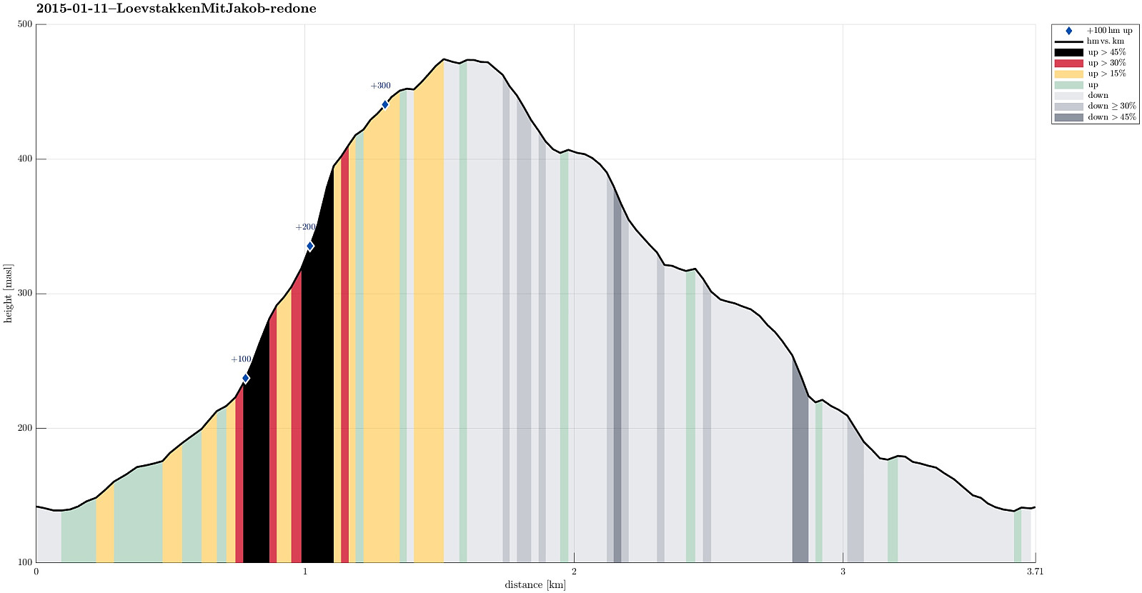
| Entfernung | 3,7km |
| Höhenmeter | 365m |
| GPS |
|
| Besteigungen | Løvstakken (478m) | 11.01.2015 |
|---|---|---|
| Besuche anderer PBE | Minnesmerke bomberaid 1945 (180m) | 11.01.2015 |
Note that this track has been created a posteriori, i.e., from memory, not automatically recorded.
Trip Summary
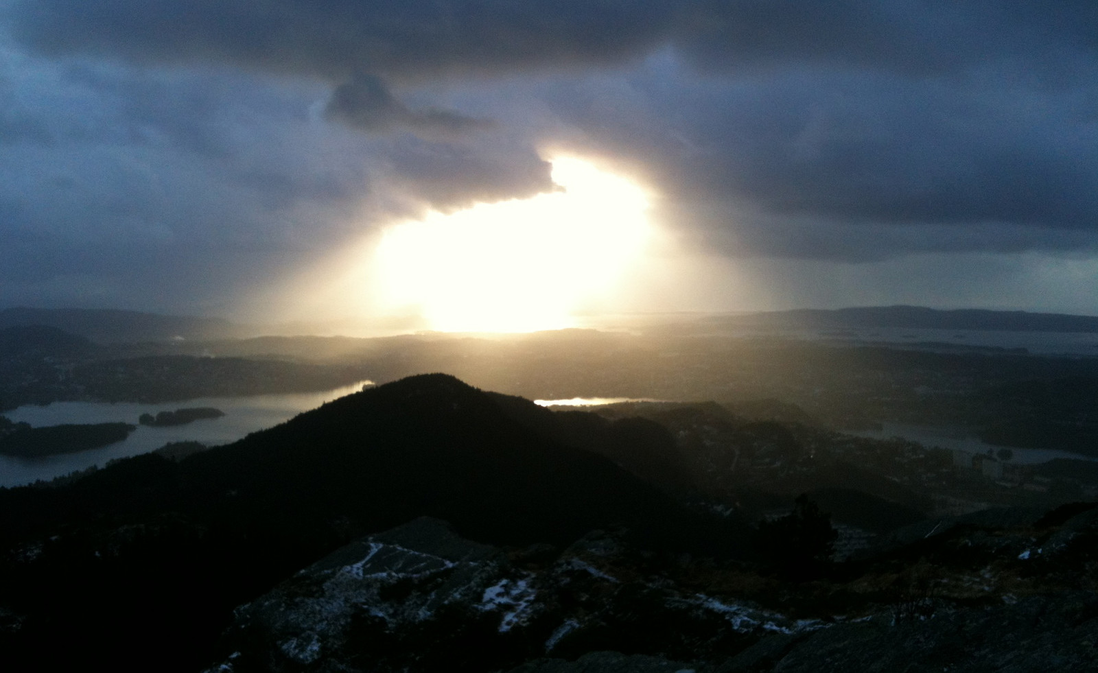
Starting from Krohnegården, we ascended under the (due to storm Nina partially damaged!) cable line up to Løvstakken (the maybe steepest ascend to Løvstakken?!), where we faced cold and icy winds from the north, northwest. This made us return via Strutsefarmen, i.e., first southwards towards Gullstølen, but then westwards and downwards, back to Krohnegården. A quick and nice Sunday hike! :-)
Useful Resources
Web page WestCoastPeaks.com provides useful information about Løvstakken.

Benutzerkommentare