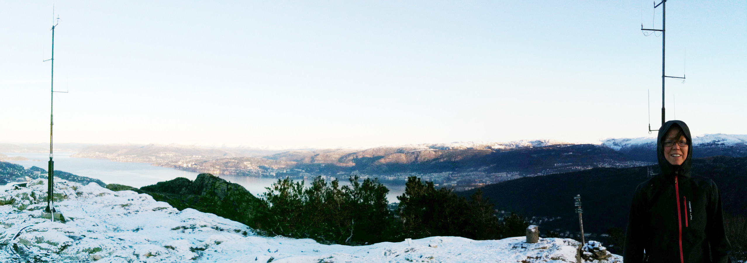
Lyderhorn (25.12.2014)

| Startsted | Kjøkkelvik school (60moh) |
|---|---|
| Sluttsted | Kjøkkelvik school (60moh) |
| Turtype | Fjelltur |
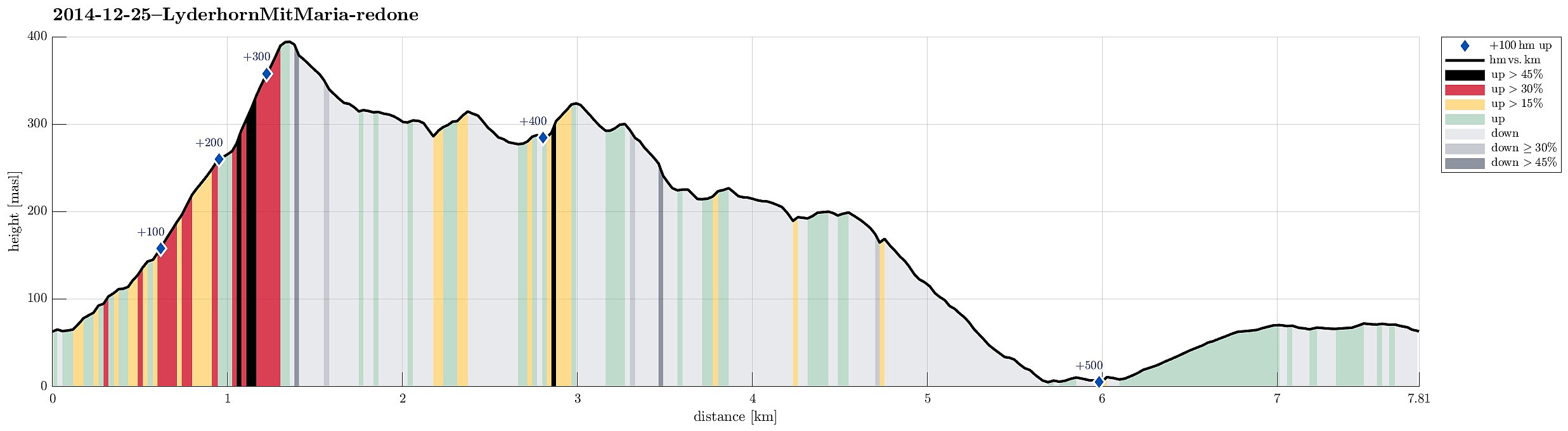
| Turlengde | 2t 30min |
| Distanse | 7,8km |
| Høydemeter | 580m |
| GPS |
|
| Bestigninger | Lyderhorn (396moh) | 25.12.2014 |
|---|---|---|
| Skjenafjellet (319moh) | 25.12.2014 | |
| Ørnafjellet (329moh) | 25.12.2014 | |
| Ørnafjellet Nord (304moh) | 25.12.2014 | |
| Andre besøkte PBE'er | Skålevik parkering (18moh) | 25.12.2014 |
Note that this track has been created a posteriori, i.e., from memory, not automatically recorded.
Trip Summary
Very nice xMas hike up Lyderhorn and down to Kjøkkelvik (via Ørnafjellet)!
Useful Resources
Web page WestCoastPeaks.com provides useful information about Lyderhorn and Ørnafjellet
and also Petter Bjørstad has a page about Lyderhorn.

Kommentarer