Sveningen (10.10.2010)

| Startpunkt | Øvredalen (30m) |
|---|---|
| Endpunkt | Øvredalen (30m) |
| Tourcharakter | Bergtour |
| Tourlänge | 4h 00min |
| Entfernung | 11,5km |
| Höhenmeter | 843m |
| GPS |
|
| Besteigungen | Sveningen (842m) | 10.10.2010 |
|---|---|---|
| Besuche anderer PBE | Øvredalen parkering (39m) | 10.10.2010 |
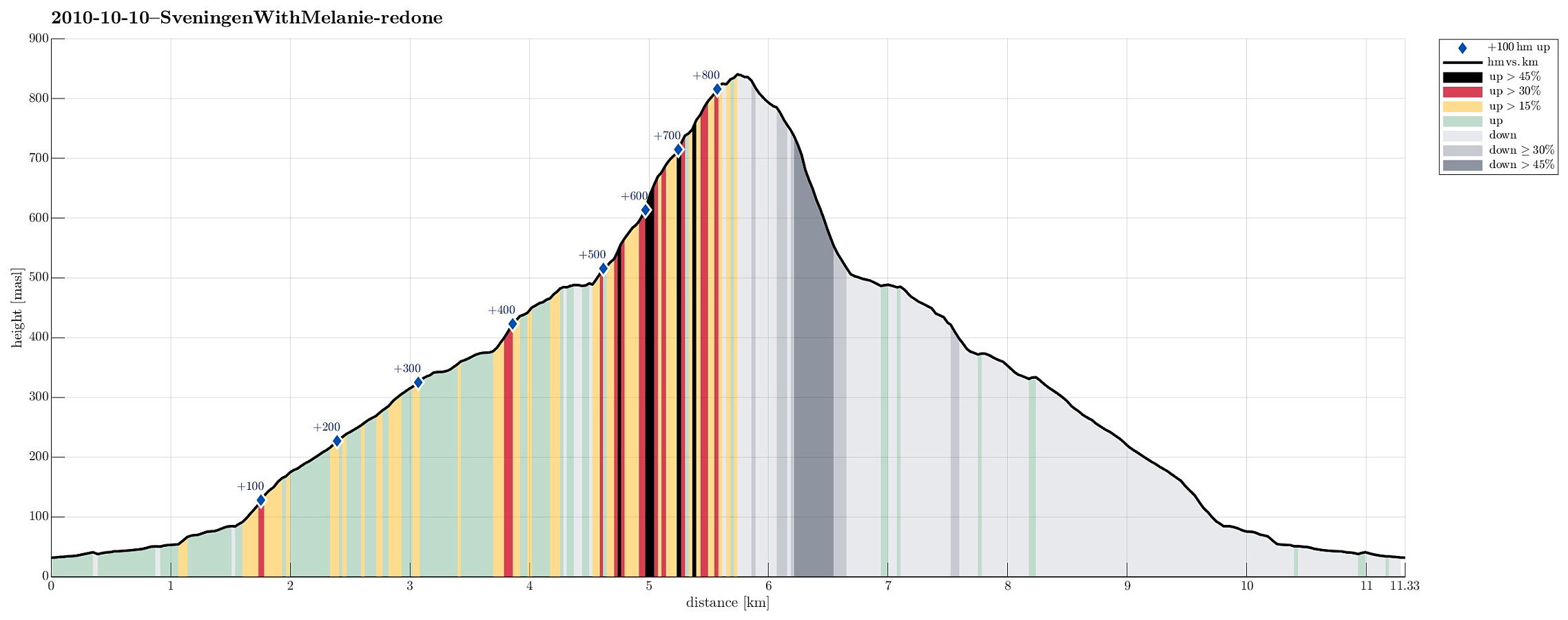
Note that this track has been created a posteriori, i.e., from memory, not automatically recorded.
Trip Summary
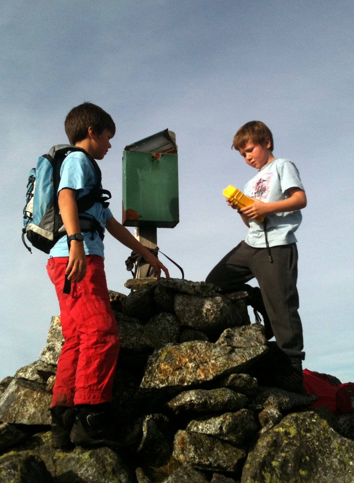
Nice autumn hike up to and down from Sveningen!
Photos
Selected photos are available as Google photo album.
Useful Resources
Web page WestCoastPeaks.com provides useful information about Sveningen, Søtefjellet, Sauskolten, Rindafjellet, and Midtsæterfjellet
and also Petter Bjørstad has a useful page about Sveningen.

Benutzerkommentare