Hike around Fyllingsdalen (05.05.2013)

| Startsted | Einerhaugen (45moh) |
|---|---|
| Sluttsted | Einerhaugen (45moh) |
| Turtype | Fjelltur |
| Turlengde | 5t 00min |
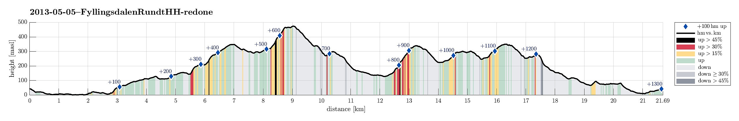
| Distanse | 21,7km |
| Høydemeter | 1305m |
| GPS |
|
| Bestigninger | Damsgårdsfjellet (344moh) | 05.05.2013 |
|---|---|---|
| Gravdalsfjellet (353moh) | 05.05.2013 | |
| Gullsteinen (352moh) | 05.05.2013 | |
| Løvstakken (478moh) | 05.05.2013 | |
| Ravnefjellet (300moh) | 05.05.2013 | |
| Storhaugen 470 (470moh) | 05.05.2013 | |
| Vest for Fyllingsnipa (286moh) | 05.05.2013 | |
| Andre besøkte PBE'er | Bøneshallen p-plass (110moh) | 05.05.2013 |
| Trigpunkt nord på Damsgårdfjellet (315moh) | 05.05.2013 | |
| Fjellheim (tuft), Løvstakken (286moh) | 05.05.2013 | |
| Gullsteinen utsiktspunkt (341moh) | 05.05.2013 | |
| Gullstølen (ruin) (282moh) | 05.05.2013 | |
| Holefjellet utsikt vest (303moh) | 05.05.2013 | |
| Spelhaugen p-plass (60moh) | 05.05.2013 | |
| Tuft nord for Vardheim (Løvstakken) (320moh) | 05.05.2013 | |
| Viggohytten (305moh) | 05.05.2013 |
Note that this track has been created a posteriori, i.e., from memory, not automatically recorded.
Trip Summary
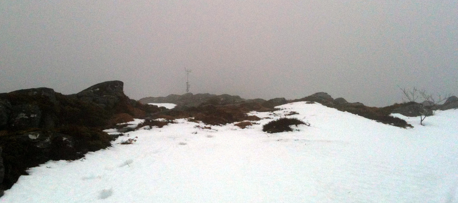
In not the very best weather, a longer tour all around Fyllingsdalen!
Photos
Selected photos are available as Google photo album.
Useful Resources
Web page WestCoastPeaks.com provides useful information about Løvstakken as well as useful information about Olsokfjellet, Gravdalsfjellet, and Damsgårdsfjellet.

Kommentarer