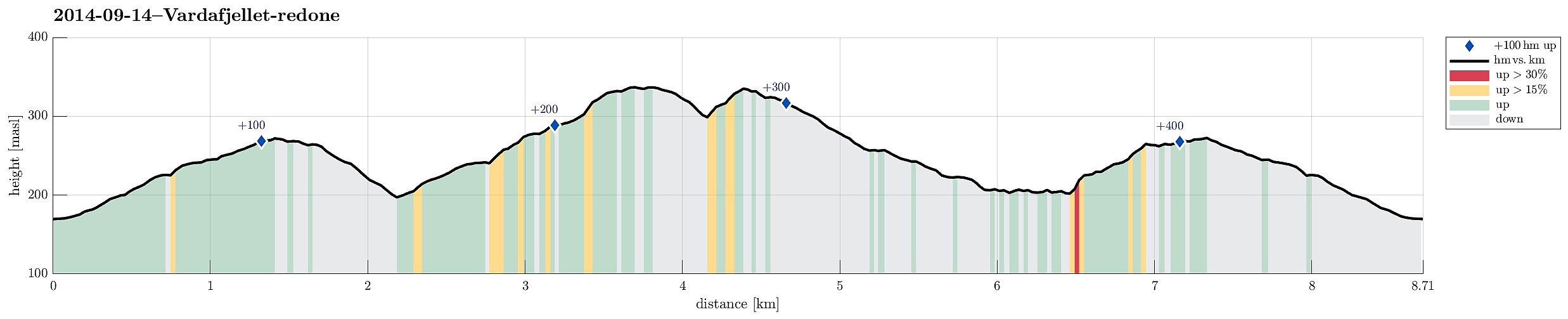
Vardafjellet/Orretuva (14.09.2014)

| Start point | Fjellbirkeland (169m) |
|---|---|
| Endpoint | Fjellbirkeland (169m) |
| Characteristic | Hillwalk |
| Duration | 2h 30min |
| Distance | 8.7km |
| Vertical meters | 408m |
| GPS |
|
| Ascents | Orrtua i Fana (337m) | 14.09.2014 |
|---|---|---|
| Vardafjellet i Fana (337m) | 14.09.2014 | |
| Visits of other PBEs | Utledalen p-plass (170m) | 14.09.2014 |
Note that this track has been created a posteriori, i.e., from memory, not automatically recorded.
Trip Summary
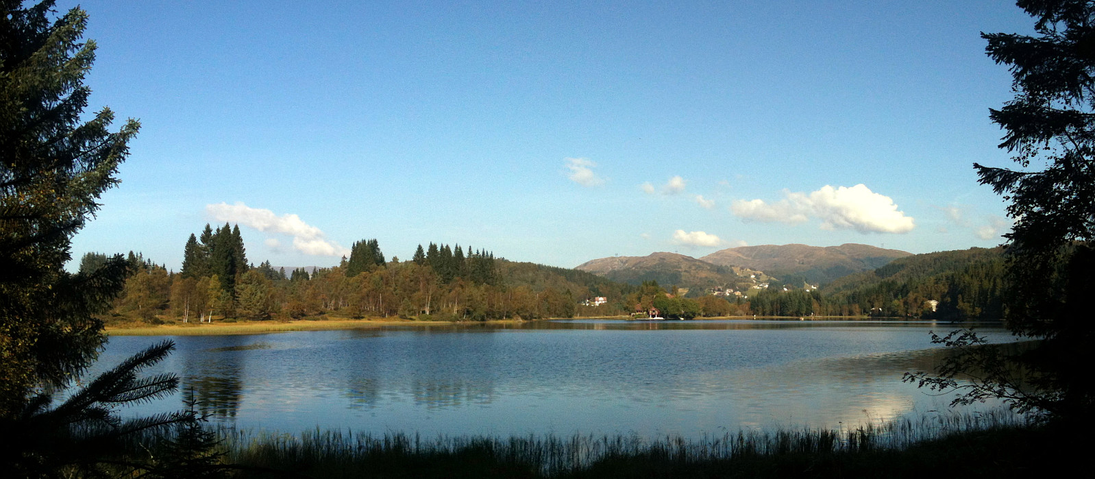
Quick Sunday afternoon round, including Vardafjellet and Orretuva, starting from Fjellbirkeland, following first a gravel road towards south-east into Tjørnadalen, before turning back upwards (to the north-east) towards Vardafjellet first, then Orretuva. Afterwards, down to Stignavatnet and along it, before back up to the gravel road. All in all, the hike was moderately boring with only short parts (for ex., along Stignavatnet) through quite romantic nature.
Useful Resources
Web page WestCoastPeaks.com provides useful information about Orretuva and Vardafjellet
and also Petter Bjørstad has a useful page about Vardafjellet (Orretuva).

User comments