
Steinafjell and NV av Juklavatnet (27.04.2024)

Written by hbar (Harald Barsnes)

| Start point | Hestadalen p-plass (851m) |
|---|---|
| Endpoint | Hestadalen p-plass (851m) |
| Characteristic | Backcountry skiing |
| Duration | 4h 59min |
| Distance | 14.6km |
| Vertical meters | 1,146m |
| GPS |
|
| Ascents | NV av Juklavatnet (1,242m) | 27.04.2024 |
|---|---|---|
| Steinafjell (1,404m) | 27.04.2024 | |
| Visits of other PBEs | Fonnavegen (328m) | 27.04.2024 |
| Hestadalen p-plass (851m) | 27.04.2024 |
Steinafjell and NV av Juklavatnet
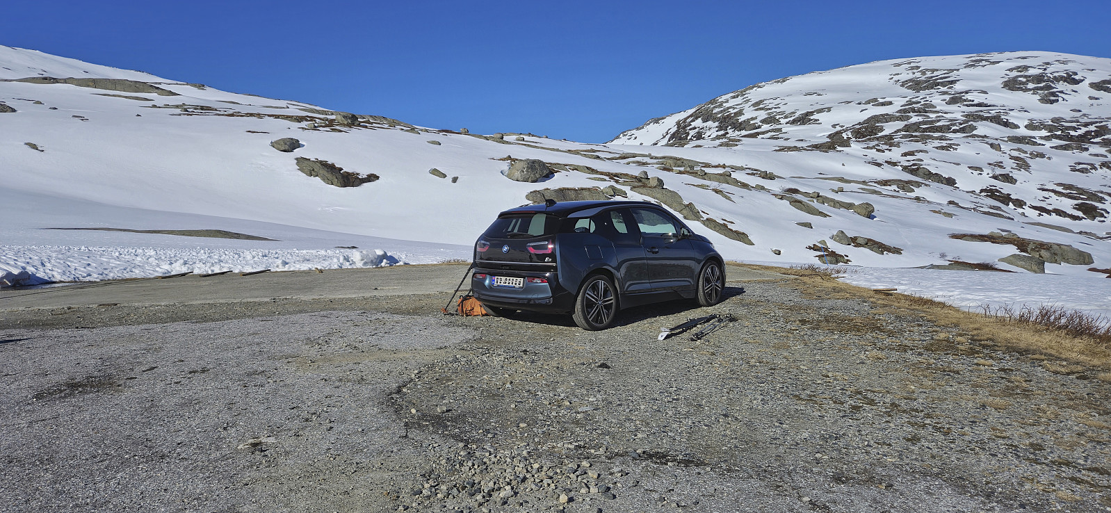
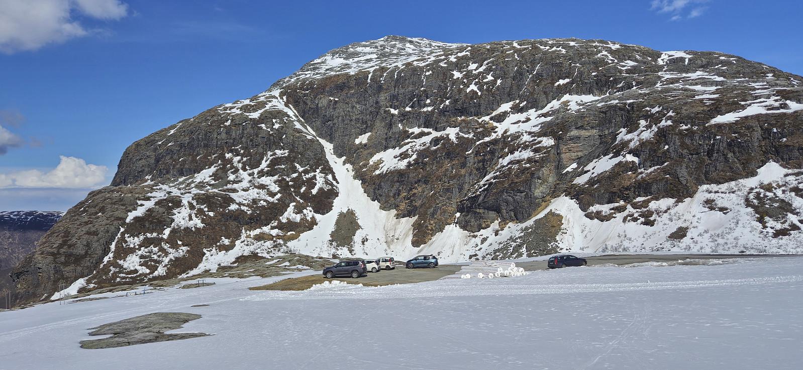
For the second weekend in a row, Petter and I returned to Jondal to go skiing. This time the plan was to drive up to FONNA Glacier Ski Resort and start our trip from there. However, due to the final part of the road up to ski resort still being covered by snow, we did not take any chances with our summer tires and instead parked at Hestadalen p-plass.
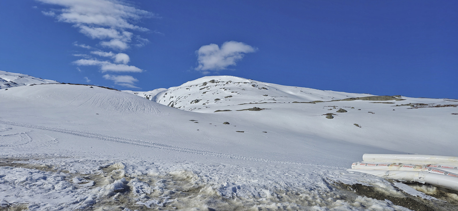
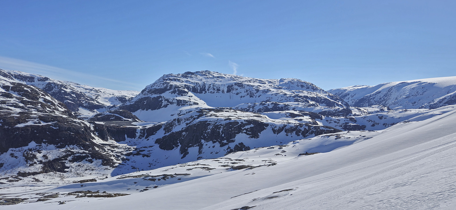
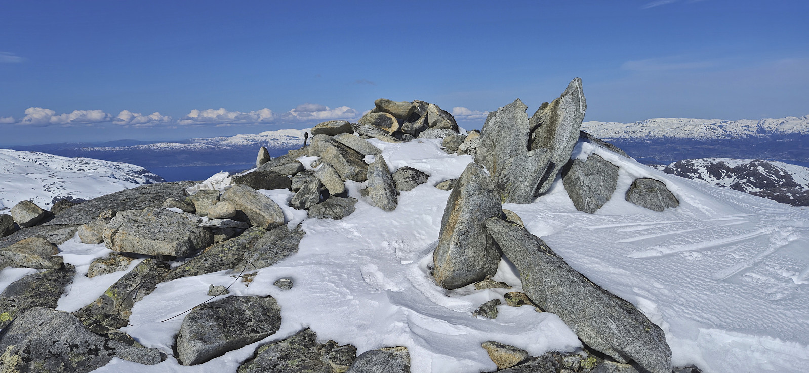
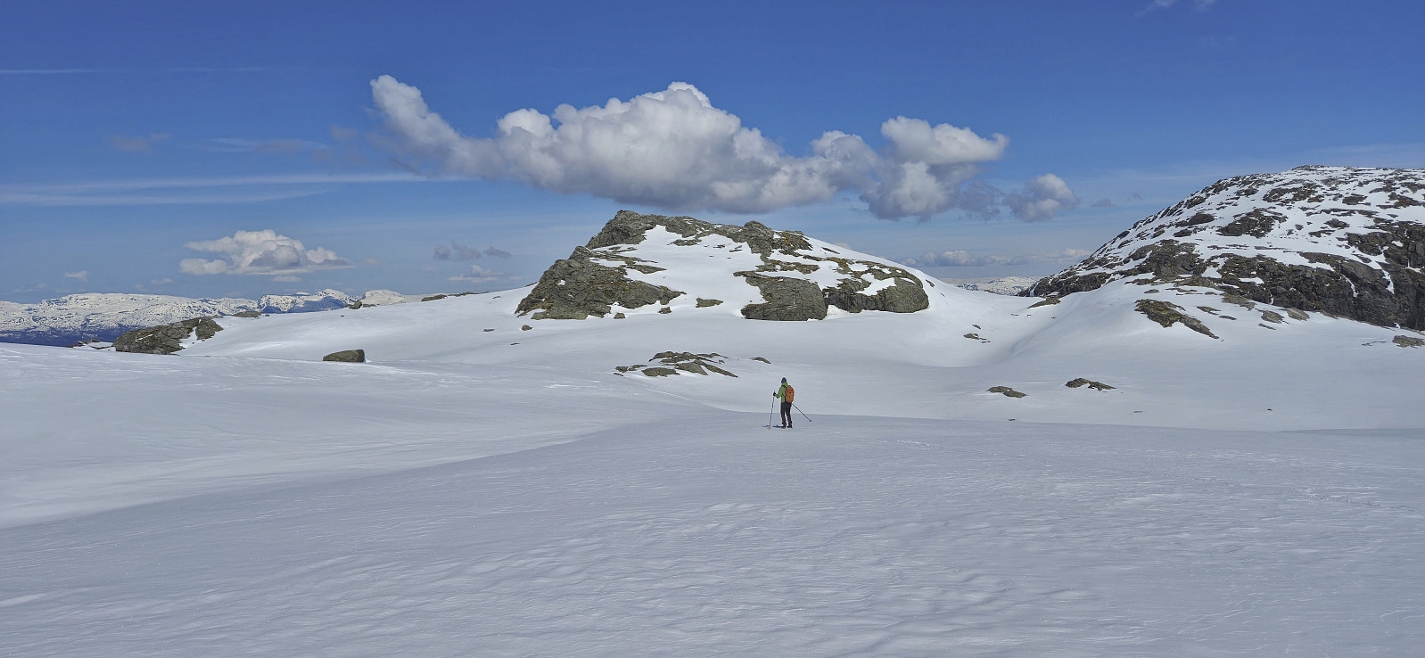
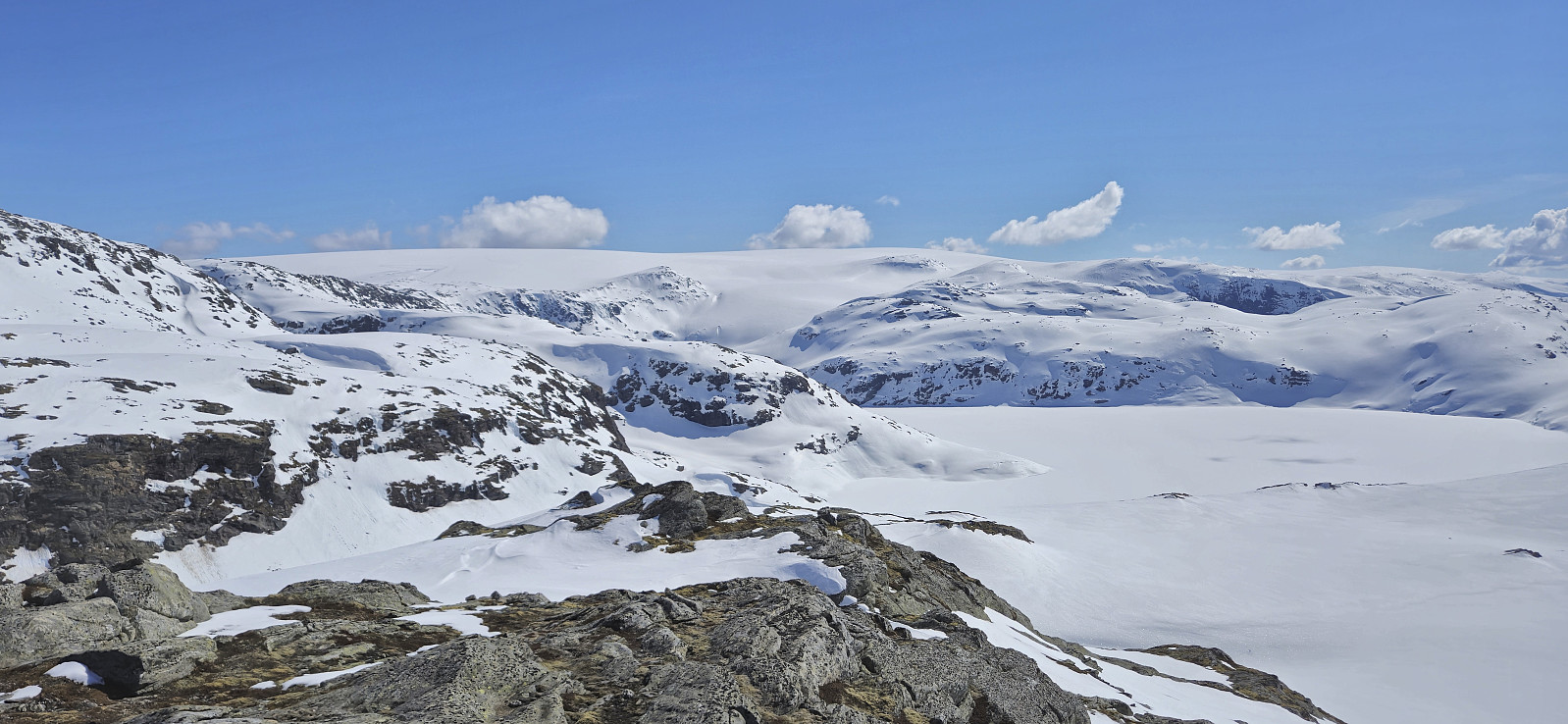
The skis came on immediately after leaving the parking lot and we made good progress up to the unnamed 1084 lake east of Svartaberget. From there we ascended steeply up Svartavassberget before the terrain levelled off as we approached the summit of Steinafjell, which we reached without any issues after roughly 1.5 hours of skiing.
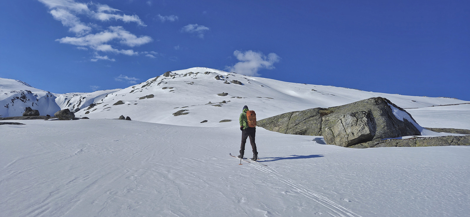
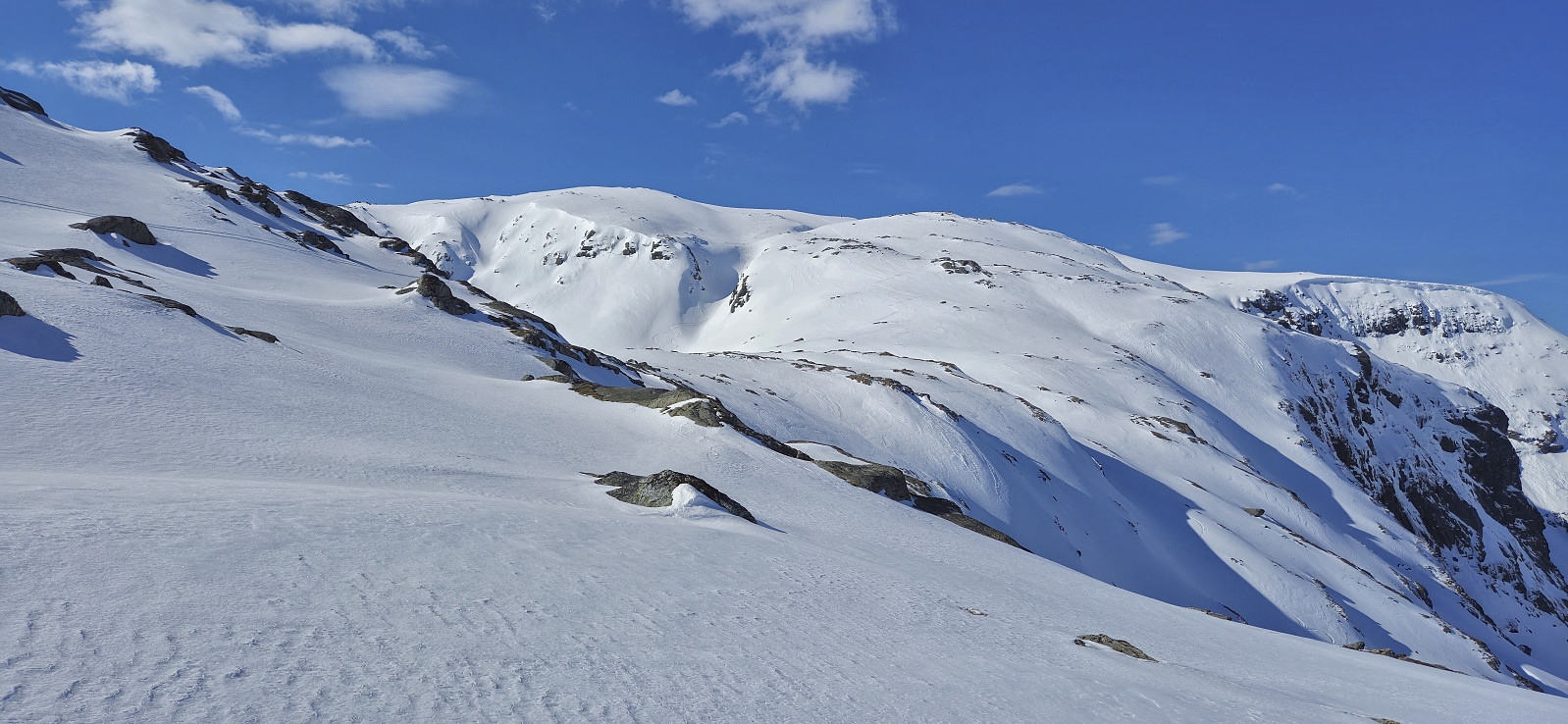
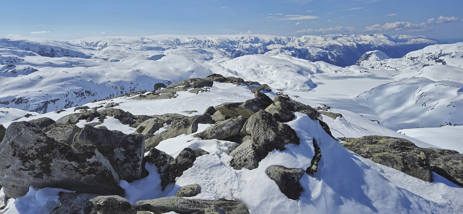
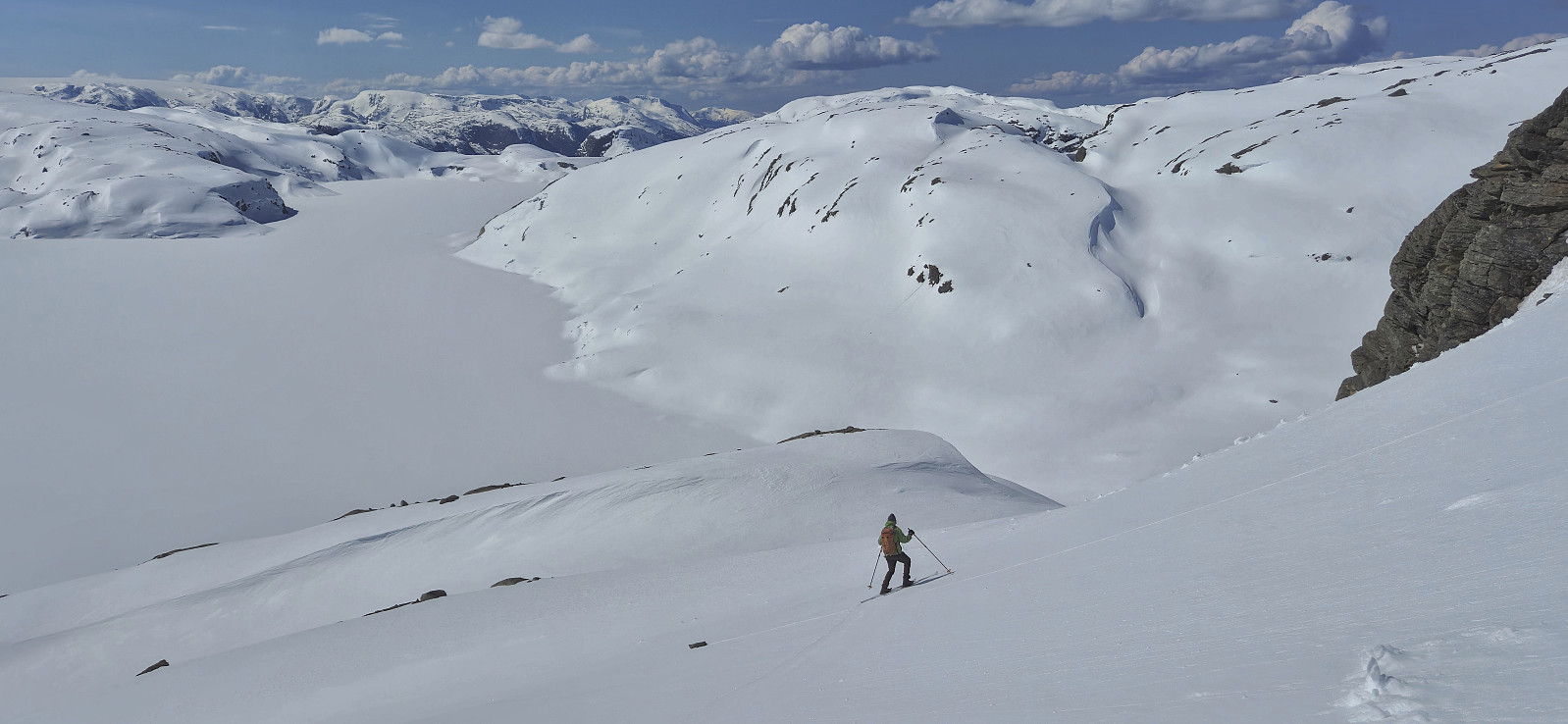
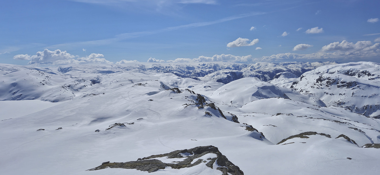
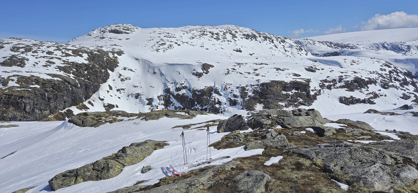
From Steinafjell we wanted to make an attempt at finding a safe route to NV av Juklavatnet. Both of us had in advance arrived at pretty much the same suggested route. The question was whether there would be unexpected challenges along the way. First, we descended west and then southeast to arrive at the wide plateau southwest of Steinafjell.
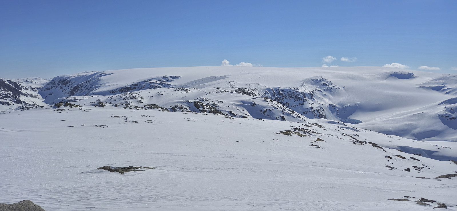
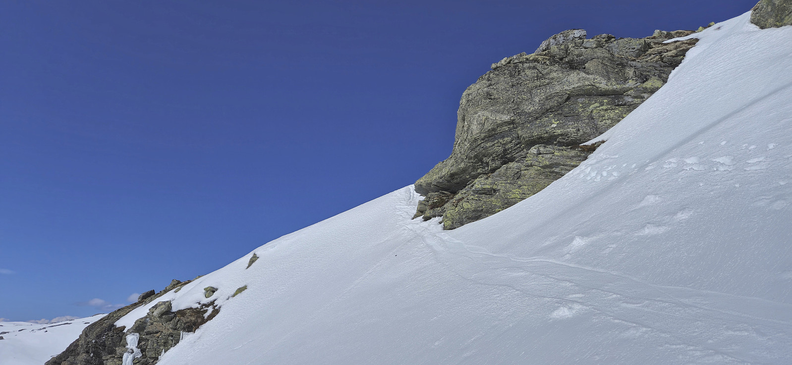
A short search later we located a further descent to Juklavatnet that seemed doable. Petter even took off his skis to explore the option further before we made a final decision. He ended up carrying the skis passed the most exposed section, while I managed to keep the skis on. From below it became clear that the descent was less exposed and significantly easier than what it had looked like from above.
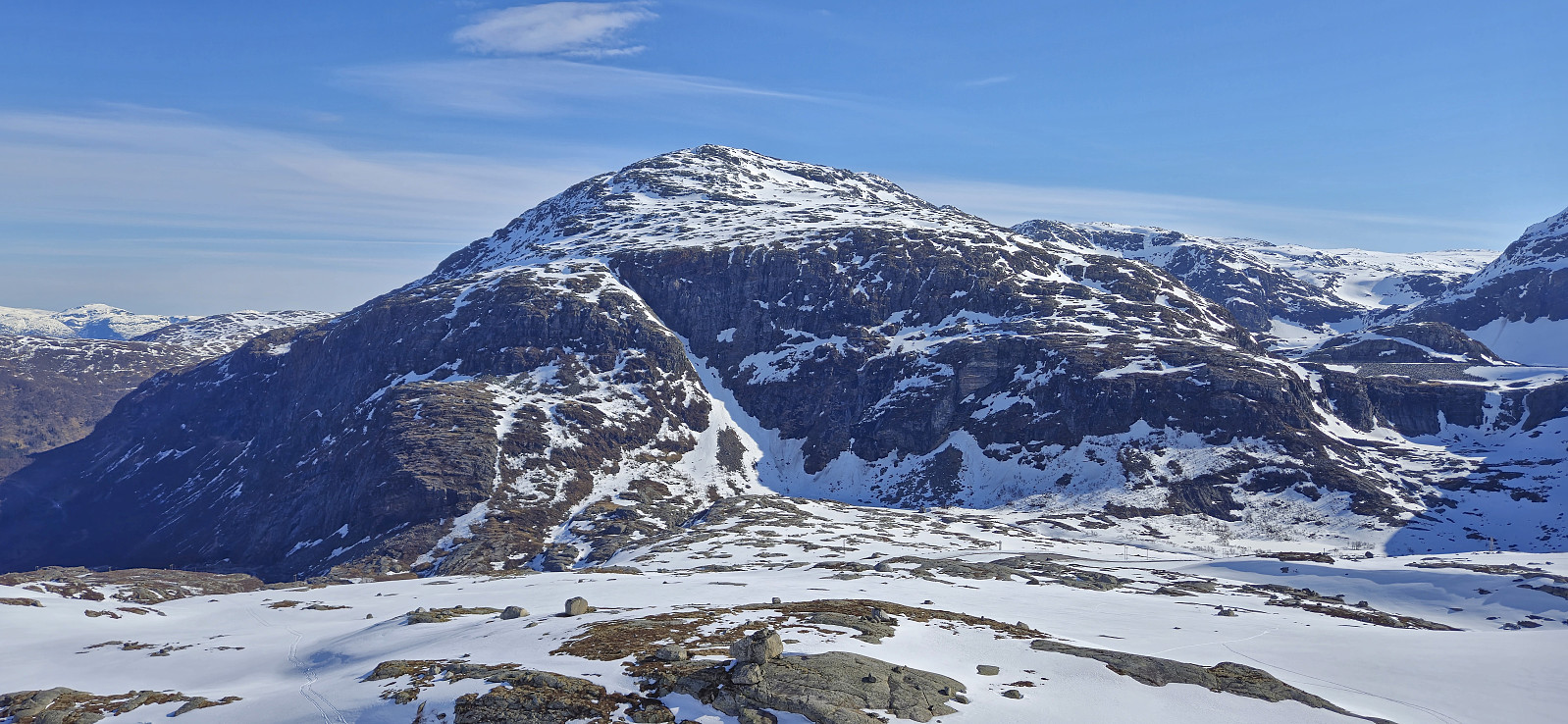
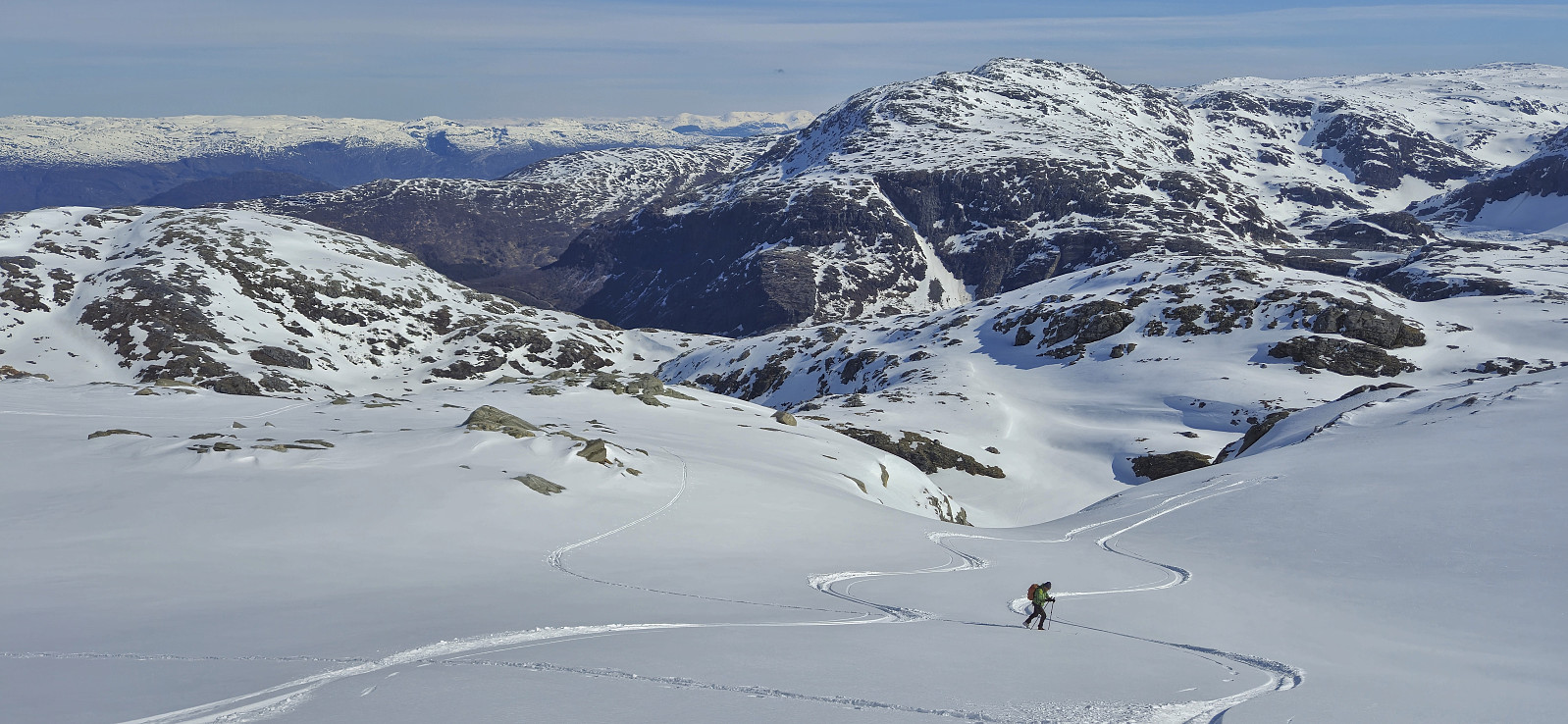
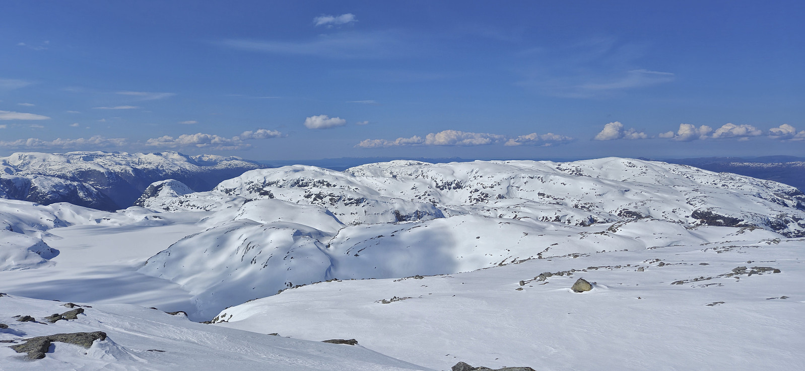
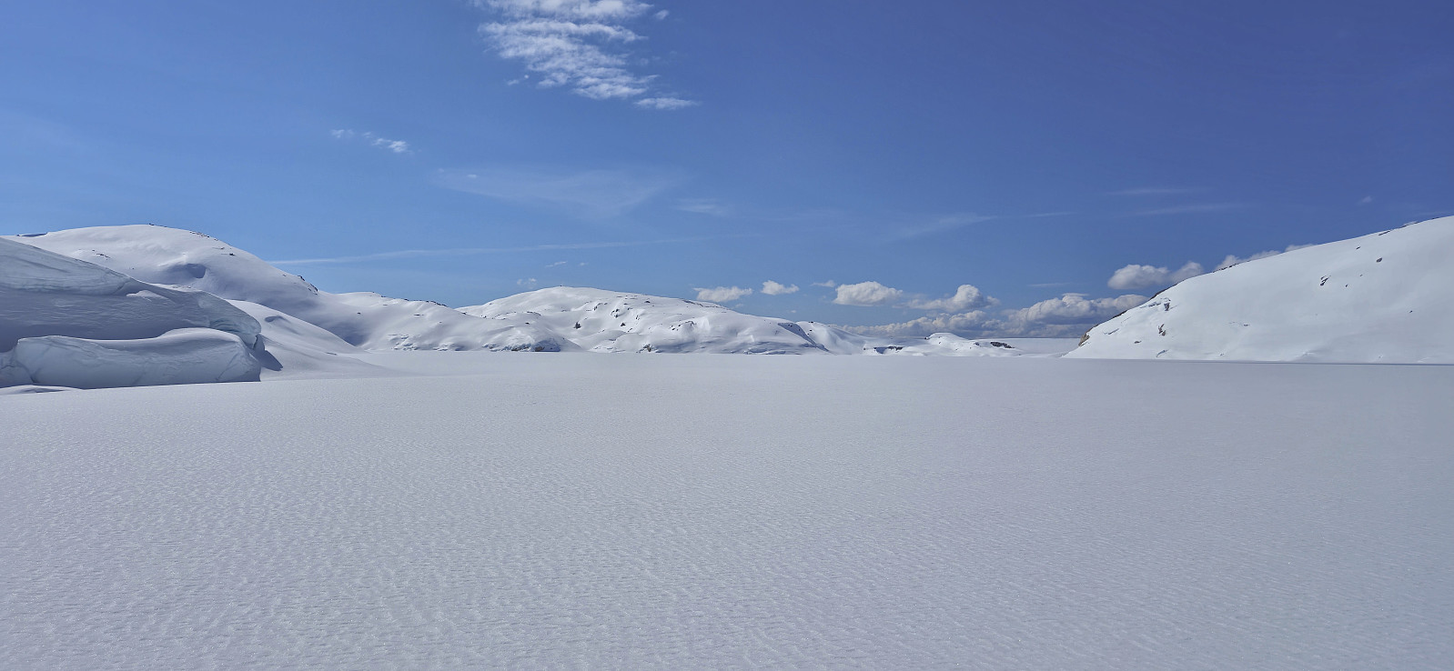
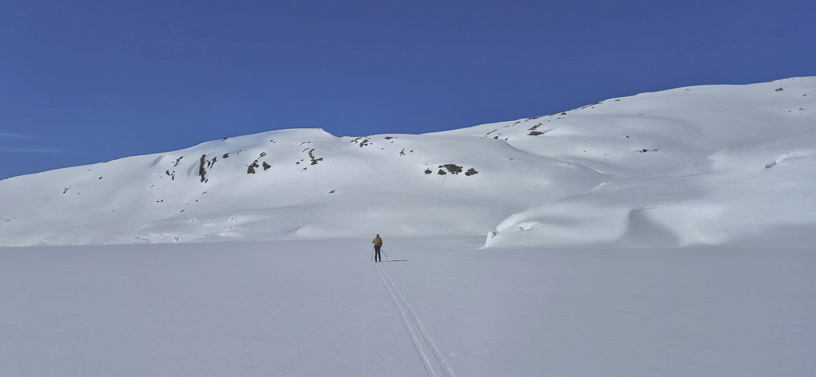
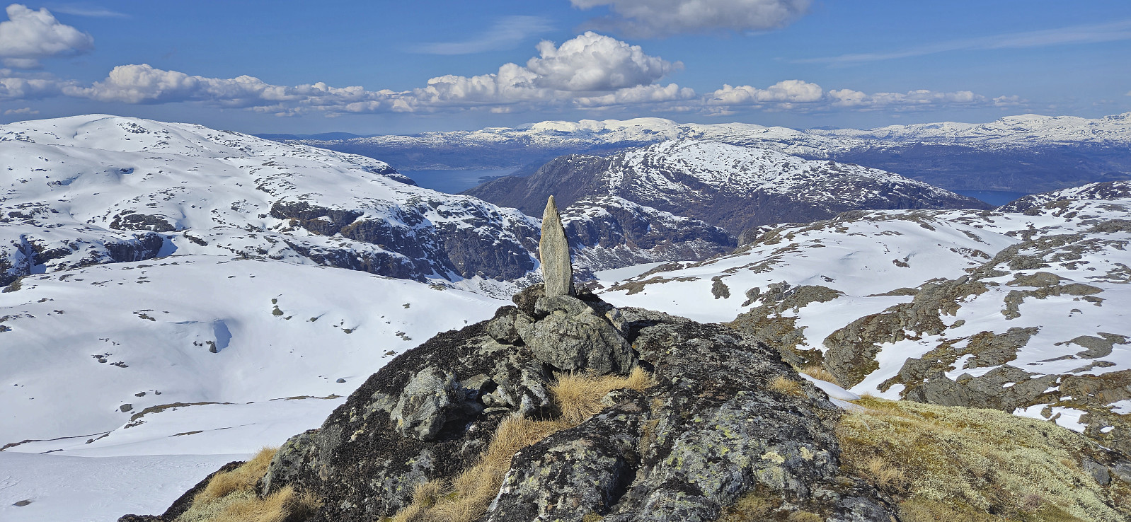
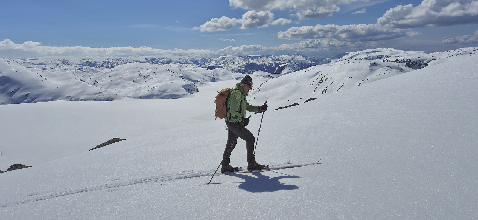
After this, Juklavatnet could be easily reached and we were done with the potentially difficult part of our route to NV av Juklavatnet. Note however that the water level of Juklavatnet can vary quite a lot (as it is used for hydroelectric power generation), hence the final descent to the lake could potentially be more complicated under different circumstances. After crossing the lake we ascended southwest to the main ridge of NV av Juklavatnet and then simply followed it north to the summit.
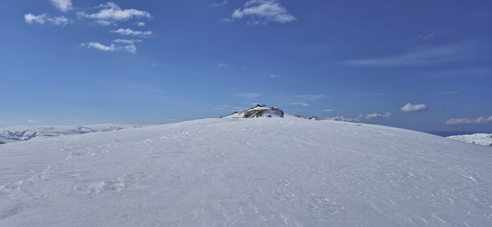
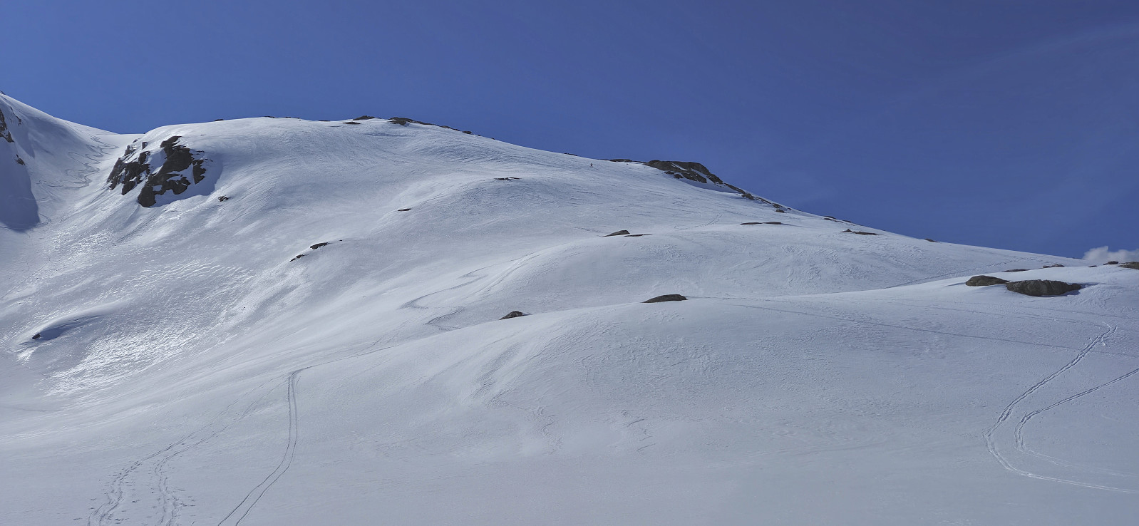
After a short break at the small summit cairn, we returned along more or less the same route, although this time finding an easier route up the abovementioned crux when reascending to Steinafjell. It turned out that the most exposed section could easily be avoided by ascending less than 10 meters further east, which is probably the recommended route in both directions (see the GPS track for details). All that remained was then to ski back down to the car and conclude another excellent skiing trip in Jondal.
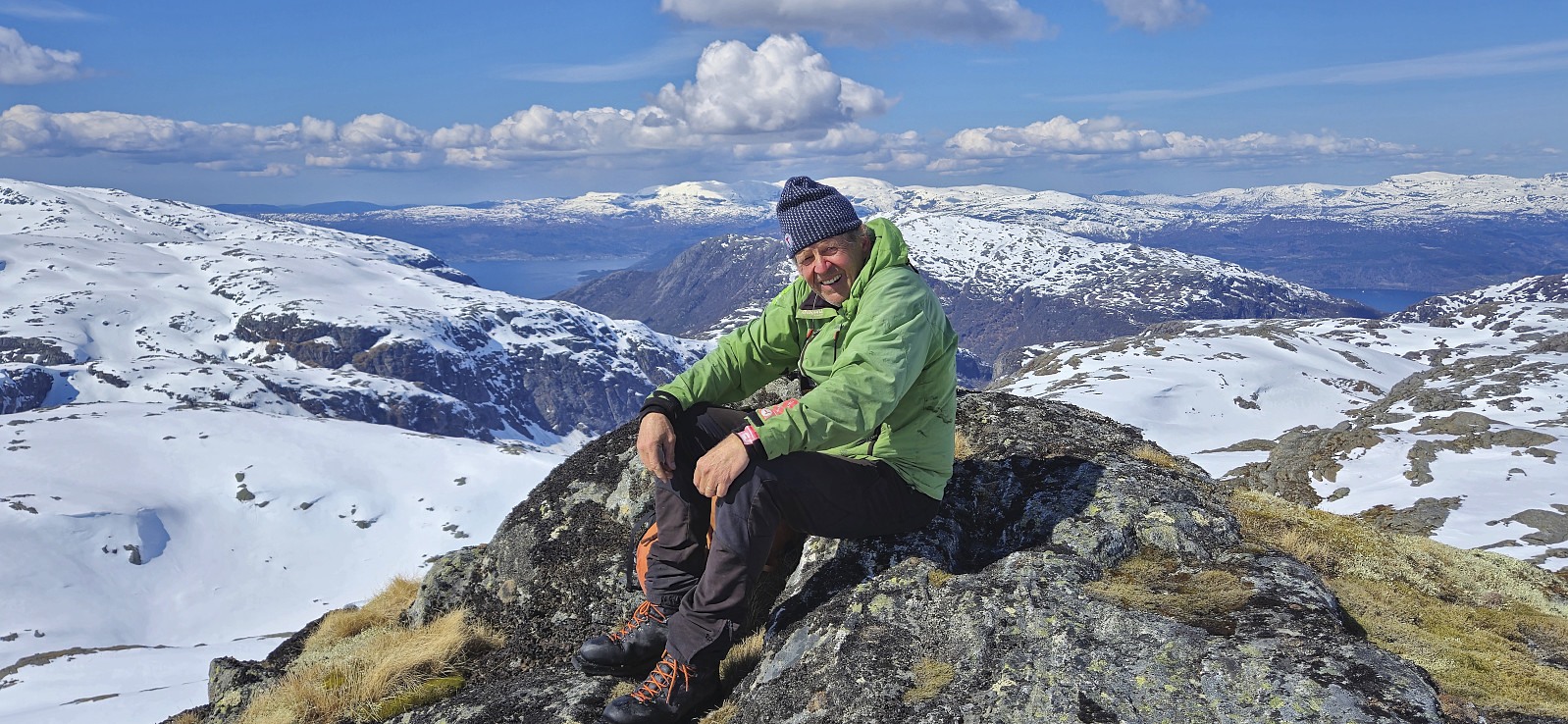
Takk for turen, Petter!

| Start date | 27.04.2024 09:49 (UTC+01:00 DST) |
| End date | 27.04.2024 14:48 (UTC+01:00 DST) |
| Total Time | 4h 59min |
| Moving Time | 3h 54min |
| Stopped Time | 1h 04min |
| Overall Average | 2.9km/h |
| Moving Average | 3.7km/h |
| Distance | 14.6km |
| Vertical meters | 1,145m |


User comments