
Fagerlifjellet from Gjetingsdalen (26.11.2023)

Written by hbar (Harald Barsnes)

| Start point | Gjetingsdalen (148m) |
|---|---|
| Endpoint | Gjetingsdalen (148m) |
| Characteristic | Hillwalk |
| Duration | 3h 30min |
| Distance | 5.6km |
| Vertical meters | 610m |
| GPS |
|
| Ascents | Fagerlifjell (708m) | 26.11.2023 |
|---|
Fagerlifjellet from Gjetingsdalen


For the second Sunday in a row, Petter and I returned to Jondal. This time our goal was to ascend Fagerlifjellet from Gjetingsdalen. After taking the ferry from Tørvikbygd to Jondal, we therefore continued south to Maurangerfjorden which we then proceeded to follow southwest to Gjetingsdalen. Here we quickly realized that there was a lot more snow than expected, but thankfully just below the amount that would have made it difficult for us to park at the open space close to the planned trailhead.
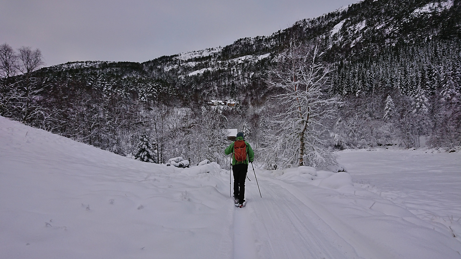
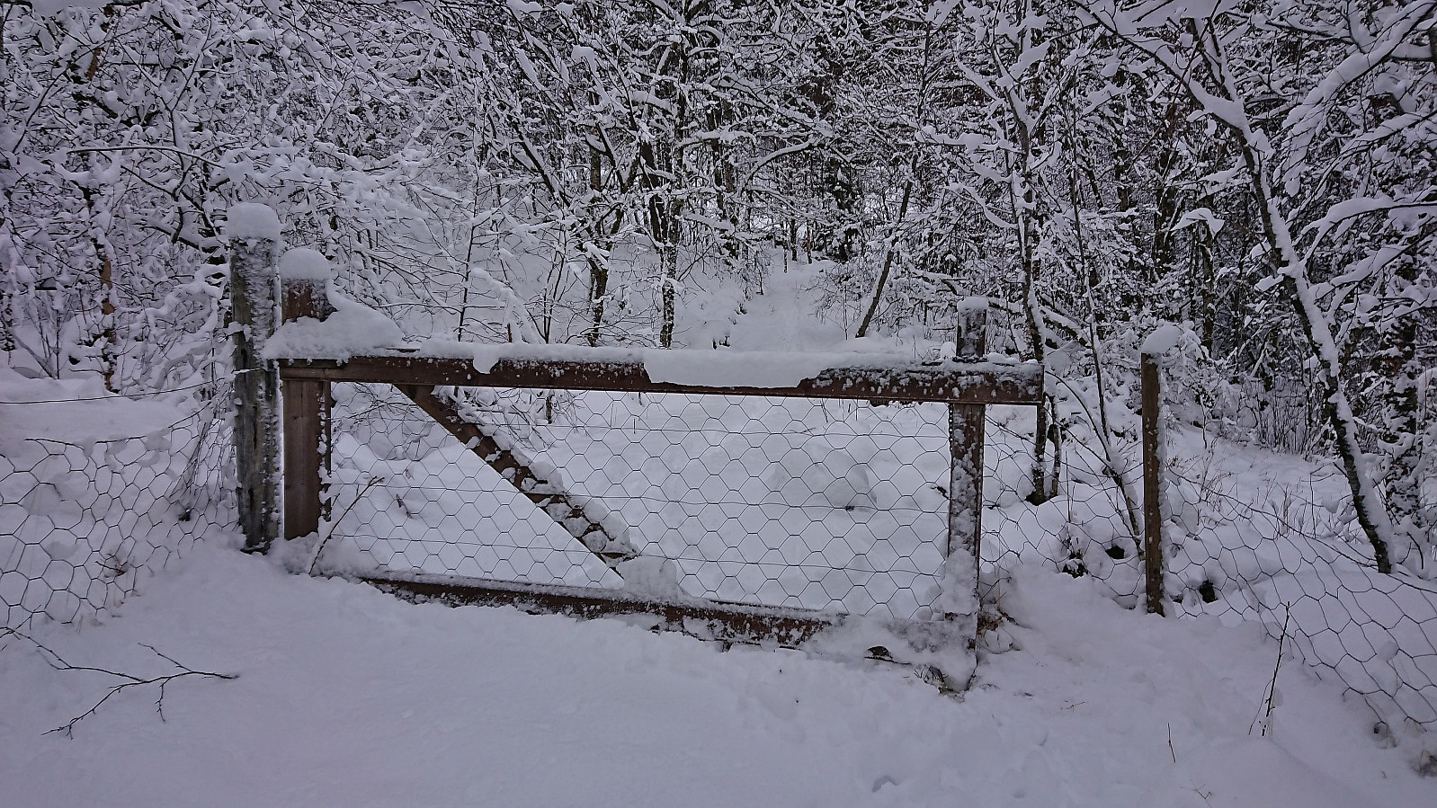
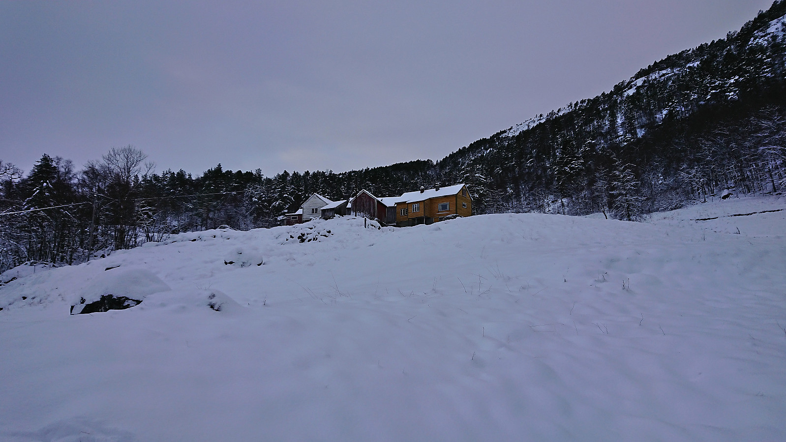
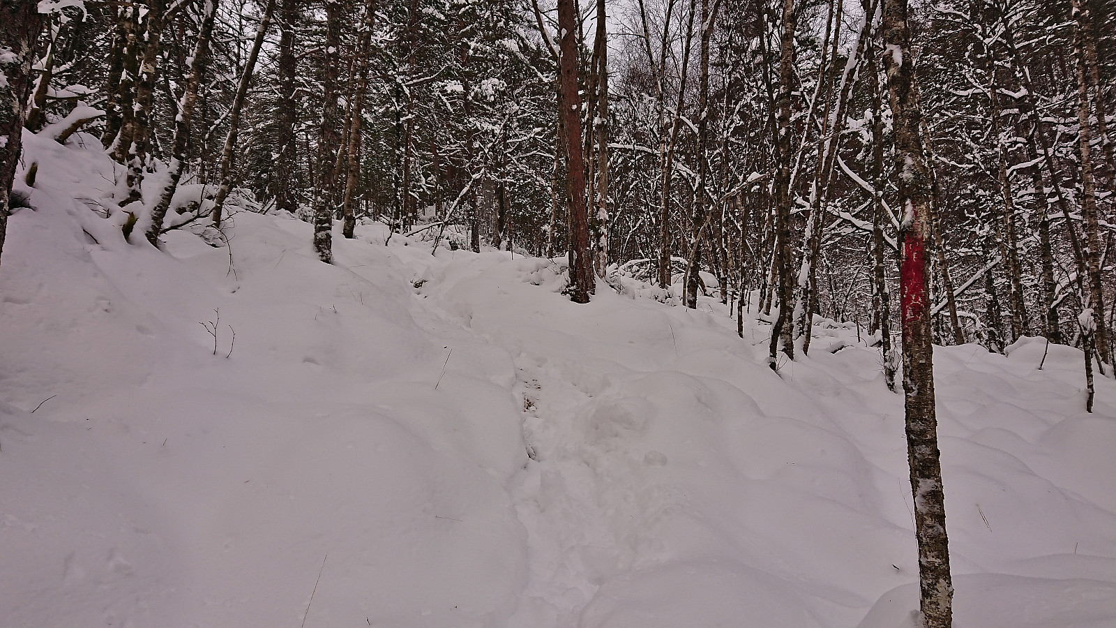
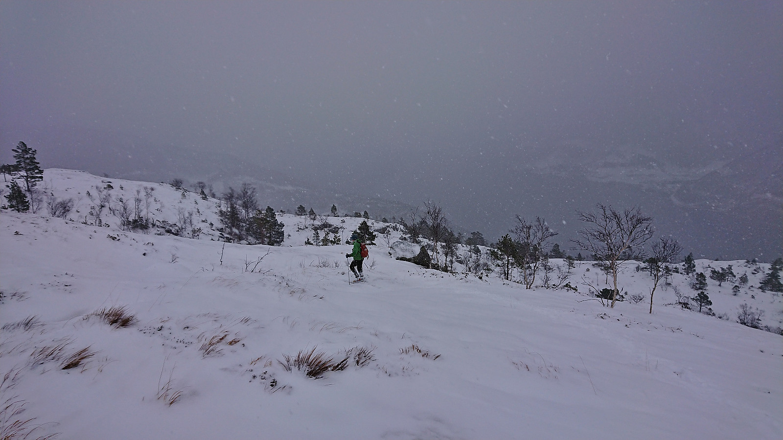
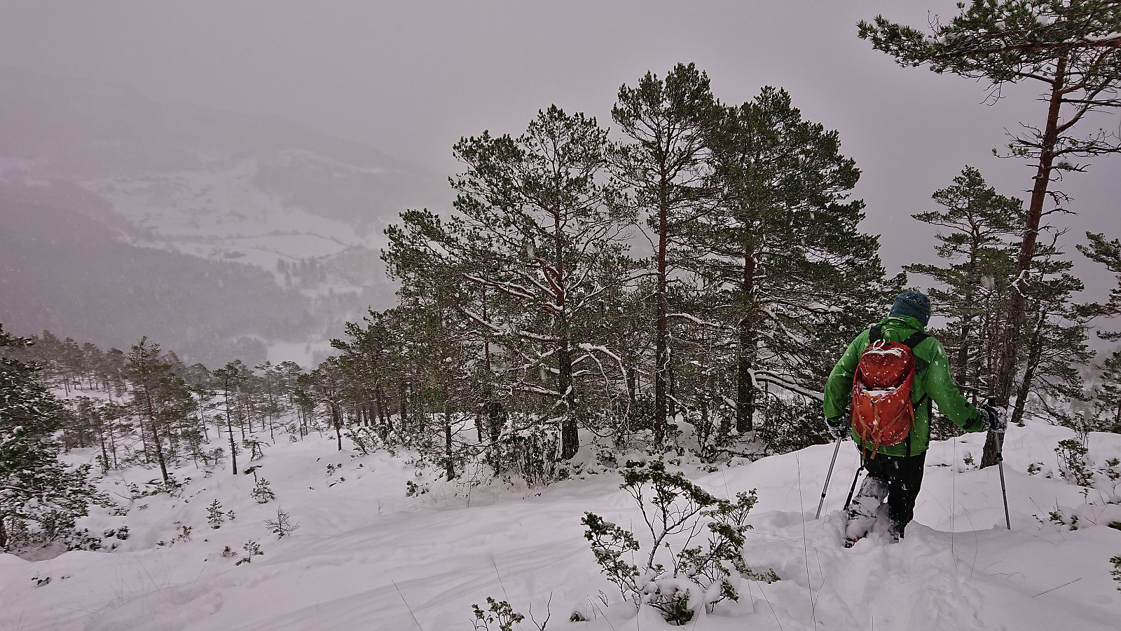
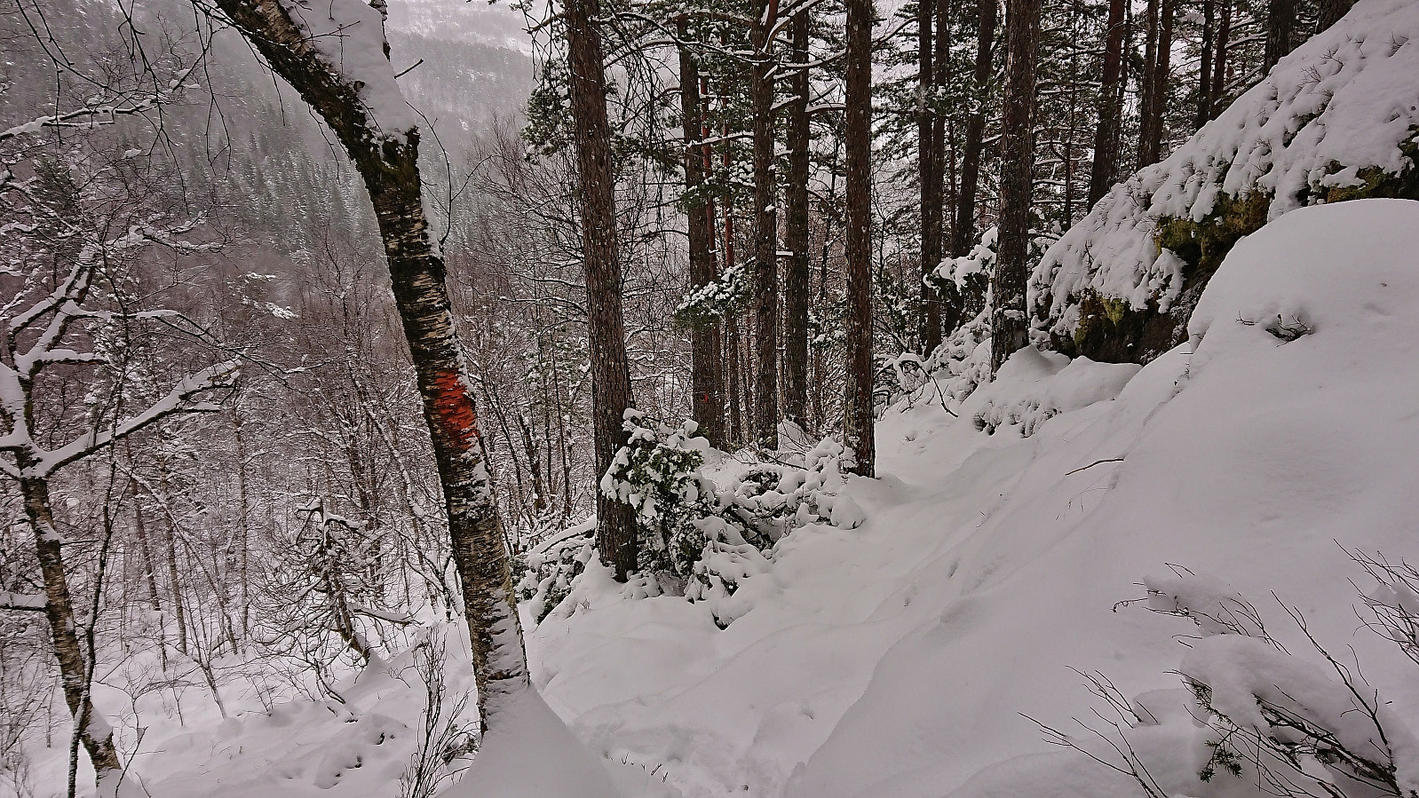
After parking the car, we walked up the smaller road to Nedre Øyjorda, passed through a gate and continued up to Øvre Øyjorda. So far there had been some fairly recent footprints in the snow. We assumed that these would stop at Øvre Øyjorda, but luckily they continued across a small bridge just to the east and then lead us to the start of a marked trail heading up the ridge on the south side of the stream in Ospelindsdalen. The red and orange trail markers painted on the tree trunks were not always the easiest to spot though, hence the footprints came in very handy with the trail itself hidden underneath the snow.
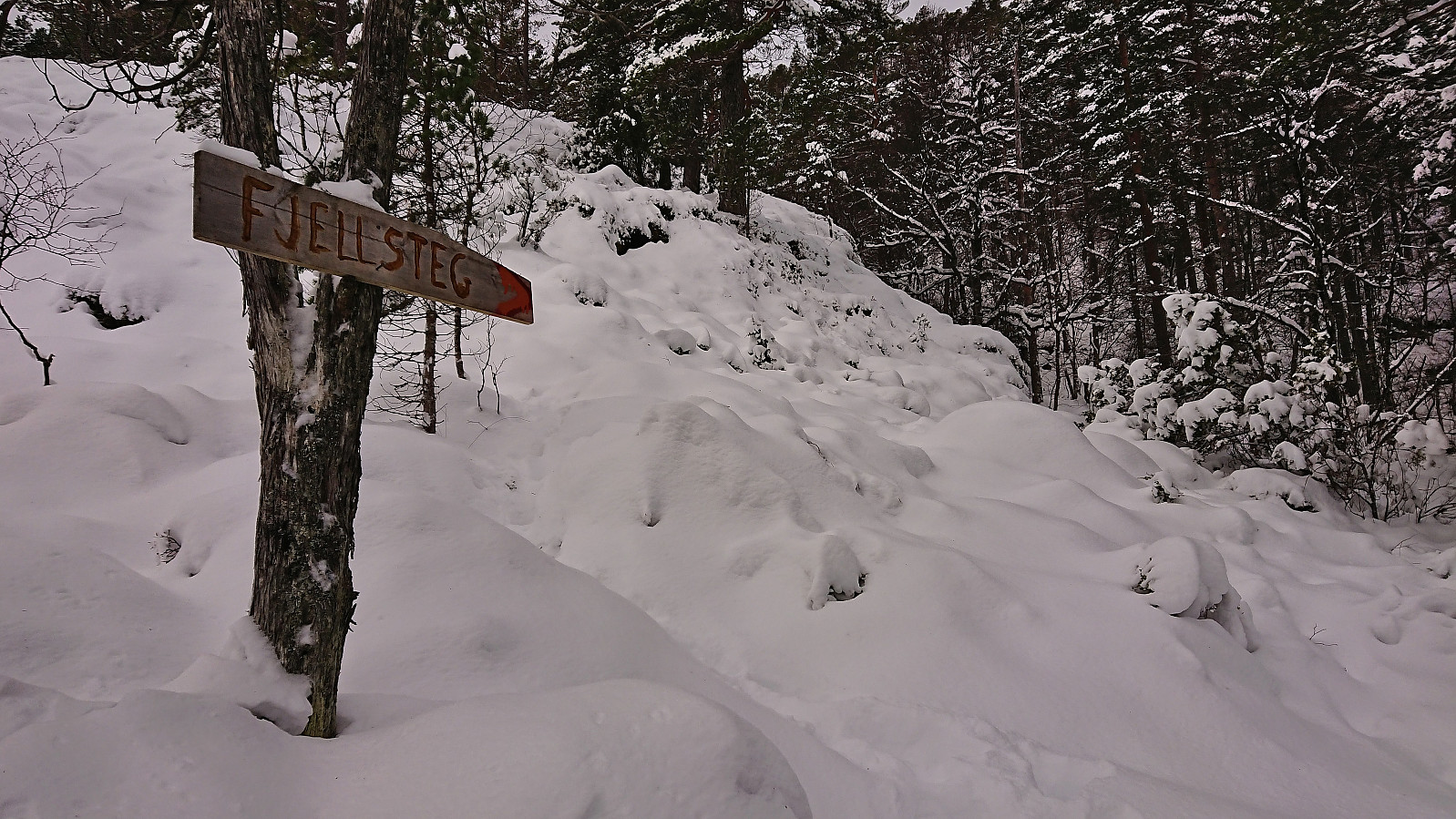
Soon we came across a large and relatively new sign for Fjellsteg. We could not find this location on the map but given that the sign seemed to point in more or less the wanted direction we decided to give it a go anyway. But while the trail markers continued, at least for a while, the footprints did not, which soon resulted in us having to find our own way towards Kilsdalsvatnet. However, as we did come across several additional red trail markers along the way (at least at the beginning), we cannot have deviated too much from the trail.
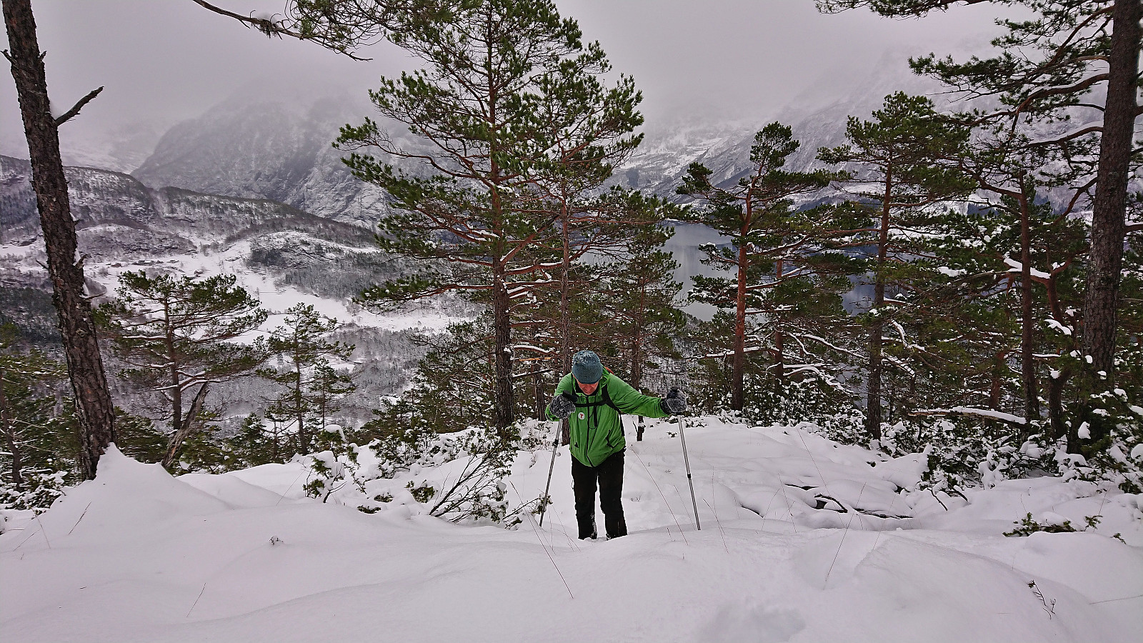
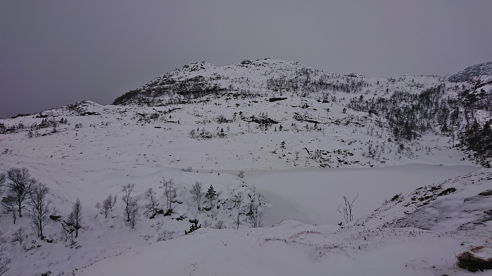
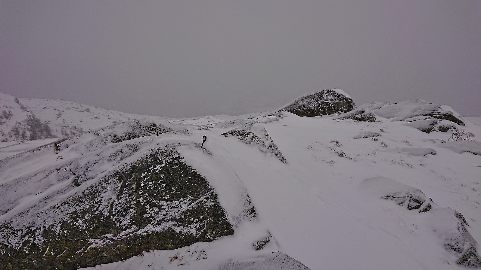
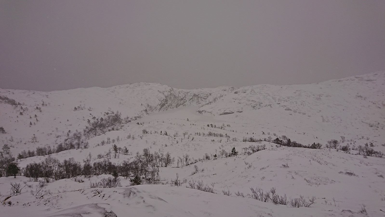
While there were some steep areas to be avoid, the ascent did not present any real challenges and it did not take too long before we arrived at the small ridge southeast of Kilsdalsvatnet and could finally spot the summit of Fagerlifjellet. From there it was simply a matter of descending to the lake, walking along its western edge, and then starting the final ascent to the summit.
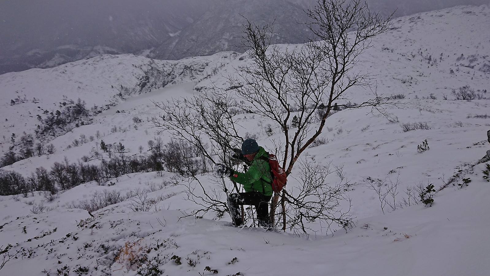
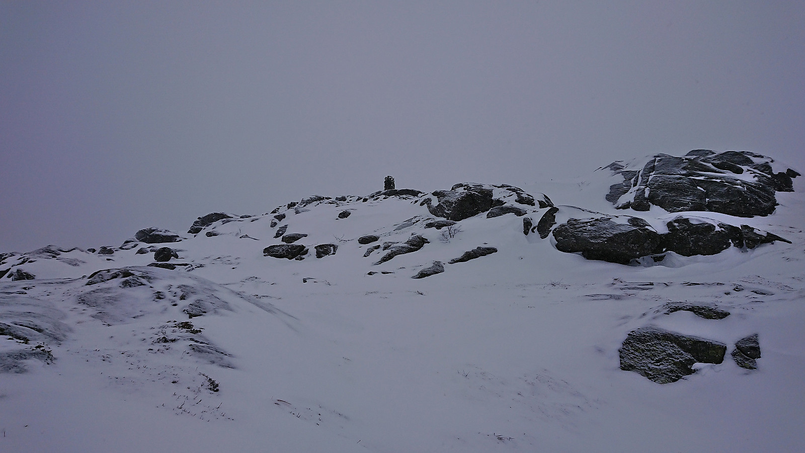
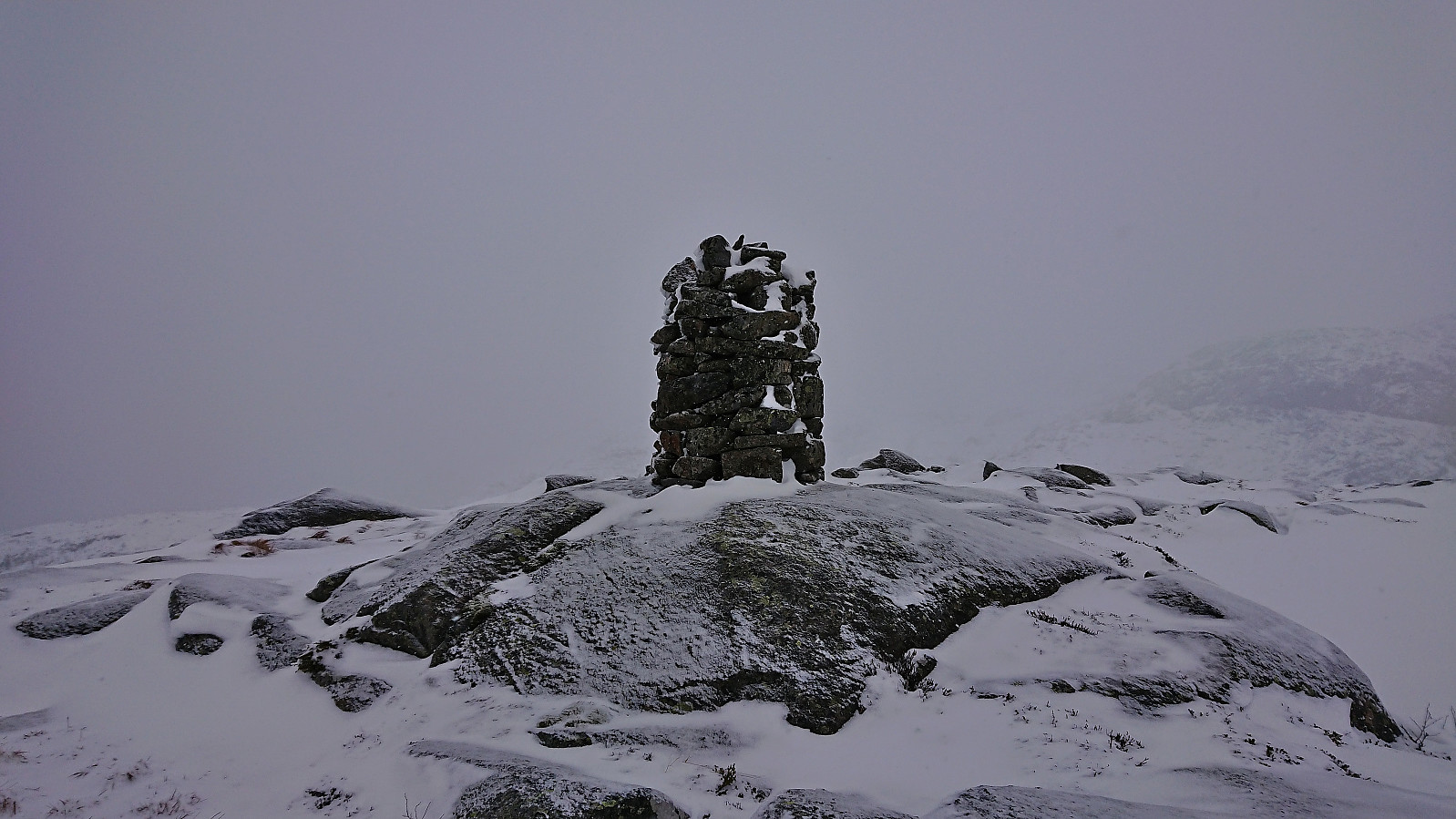
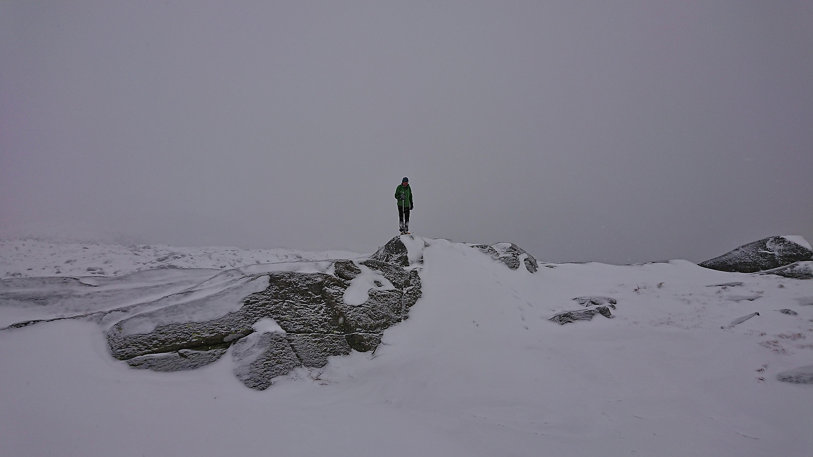
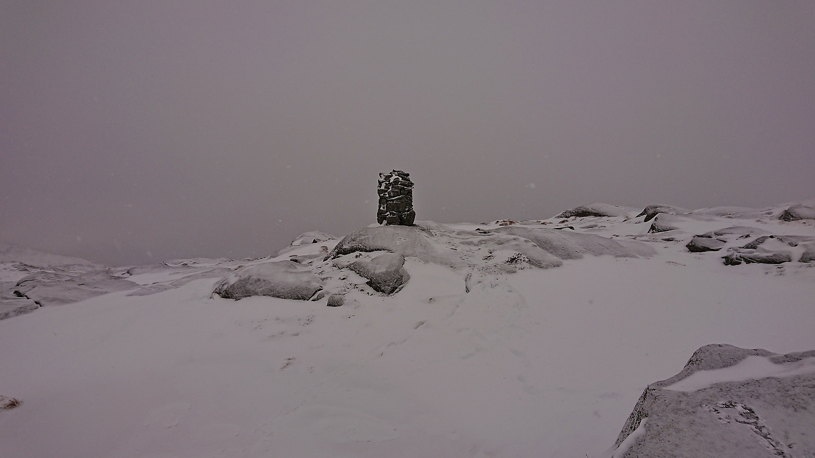
Due to the increasing amount of snow, the final climb to the summit ended up being the toughest part of the ascent. At times we would sink down to above our knees, but thankfully these areas were not too frequent. The summit itself had less snow and instead provided lots of slippery surfaces. There was also a large cairn, although it was not clear whether it is located on the highest point, as there was also an alternative summit just to the west that included the remains of an old trig marker.
Sadly, the potentially excellent summit views were not to be obtained today. After visiting both of the potential highest points, and taking a couple of pictures, we left the summit and started a descent where we pretty much followed our own footprints back down to Gjetingsdalen.
In summary, while the snow was much deeper than expected, and the summit visibility greatly reduced, it was still a very enjoyable hike. Takk for turen, Petter!

| Start date | 26.11.2023 09:51 (UTC+01:00) |
| End date | 26.11.2023 13:21 (UTC+01:00) |
| Total Time | 3h 30min |
| Moving Time | 2h 36min |
| Stopped Time | 0h 54min |
| Overall Average | 1.6km/h |
| Moving Average | 2.1km/h |
| Distance | 5.6km |
| Vertical meters | 610m |


User comments
Tøff tur dette
Written by Kjell51 28.11.2023 14:06Ser du er begynt på toppene i Jondal nå. Bare det å komme seg opp i Gjetingsdalen med elbil om vinteren må være halve turen. Men for Petter var vel dette en kosetur. Hadde dere strøm til å komme dere hjem igjen?
Re: Tøff tur dette
Written by hbar 28.11.2023 16:03Ble litt mer tungvint med elbil enn vi hadde tenkt. Petter oppdaget nemlig rett før han skulle kjøre hjemmefra at nattens lading ikke hadde fylt batteriet helt. Men et kort ladestopp i Jondal på veien hjemover (mens vi uansett ventet på fergen) og ti små minutter utenfor Gullgruven løste det problemet. Om bilen hadde vært fulladet tror jeg vi hadde klart oss helt uten lading. Til tross for at de vinterlige forholdene selvsagt krevde en del mer strøm.