
Gaddane and Hædna (19.11.2023)

Written by hbar (Harald Barsnes)

| Start point | Vassendvegen p-plass (353m) |
|---|---|
| Endpoint | Vassendvegen p-plass (353m) |
| Characteristic | Hillwalk |
| Duration | 2h 37min |
| Distance | 4.7km |
| Vertical meters | 439m |
| GPS |
|
| Ascents | Gaddane (653m) | 19.11.2023 |
|---|---|---|
| Hædna (522m) | 19.11.2023 | |
| Visits of other PBEs | Vassendevegen (180m) | 19.11.2023 |
| Vassendvegen p-plass (353m) | 19.11.2023 |
Gaddane and Hædna
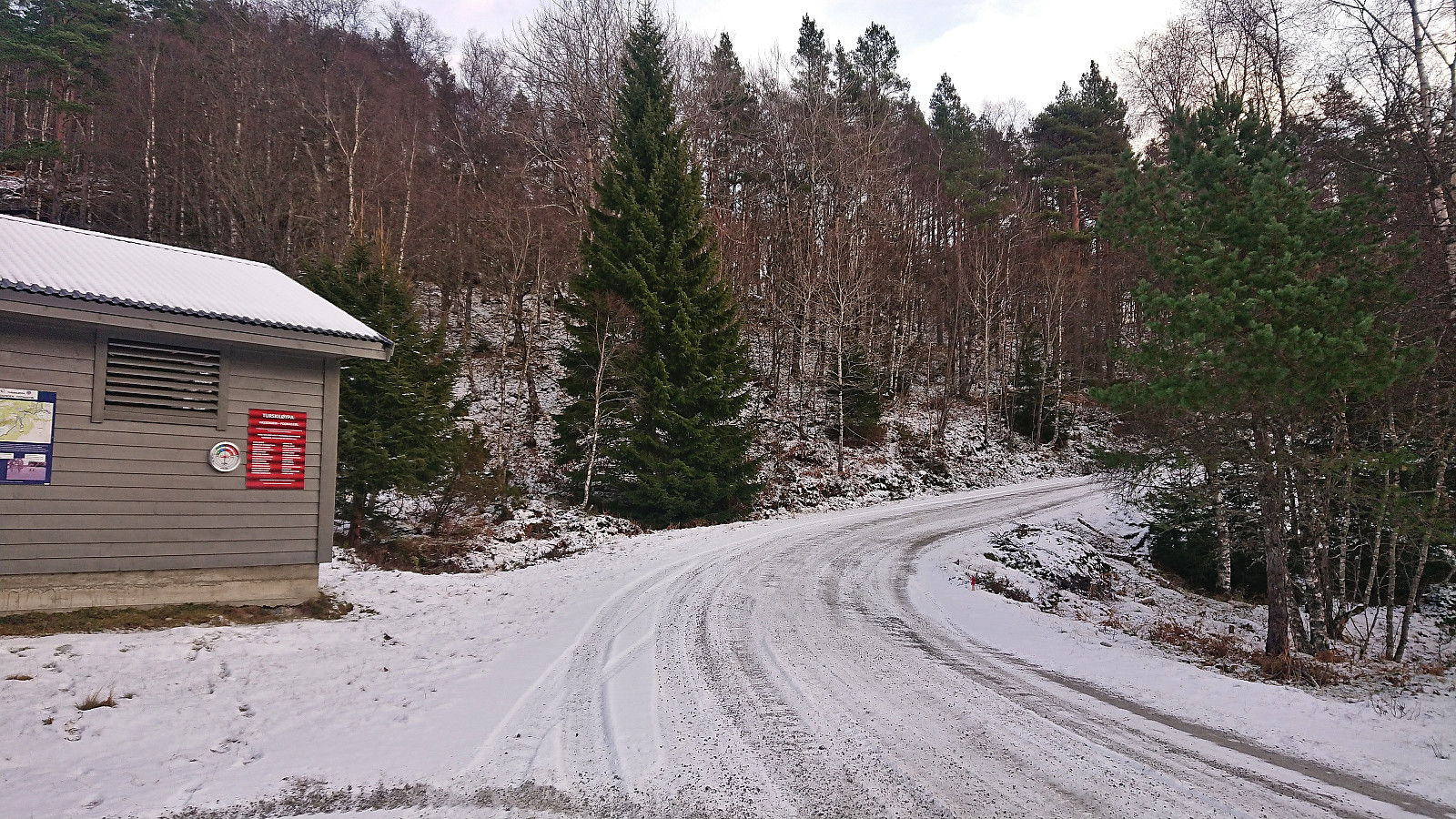
Petter picked me up at my place at 07:00 and together we drove the roughly 1.5 hours to Tørvikbygd, arriving around 20 minutes before the ferry was to depart to Jondal. After a short and windy ferry ride we followed the road east to Espeland where we turned northeast towards Vassendvatnet. This road was a toll road and we paid the 60 kr via Vipps before continuing to a parking lot at around 350 meters above sea level. As this parking lot mainly seems to be used as a starting point for skiing trips in the winter, we had it all to ourselves.
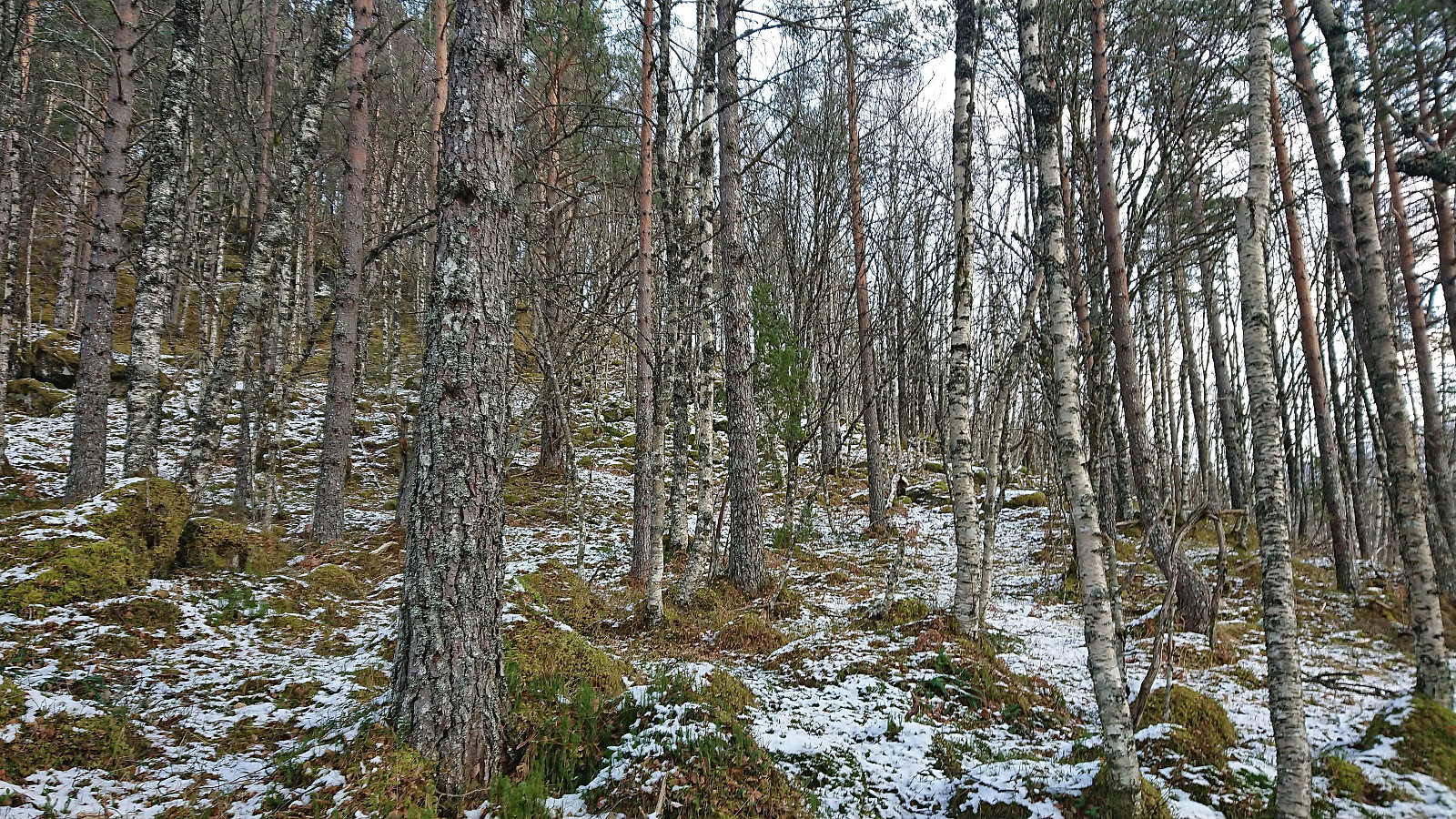
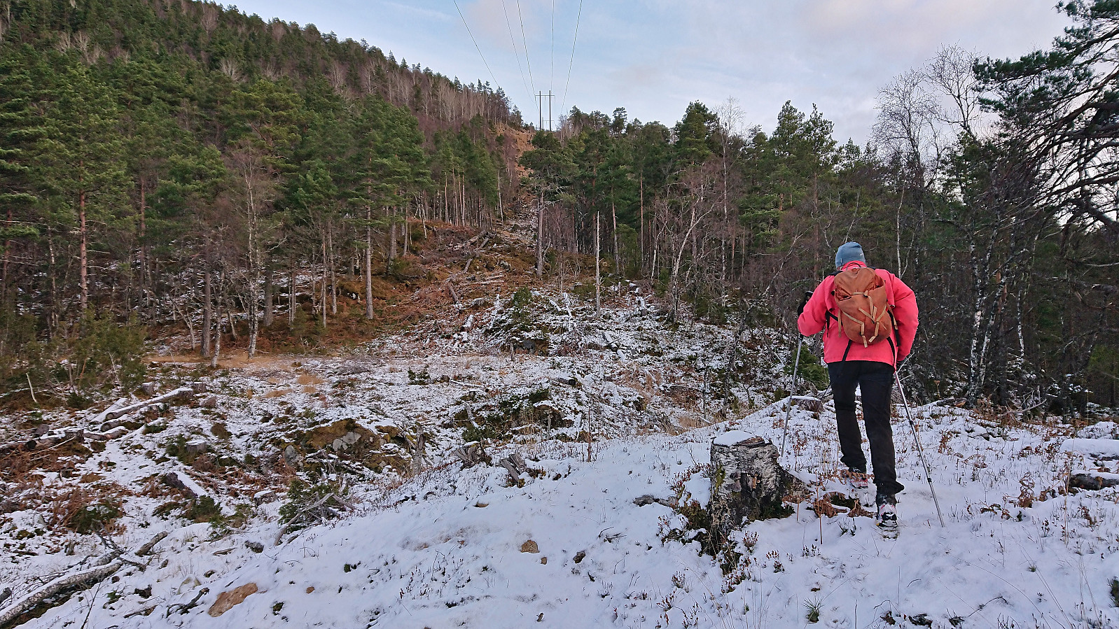
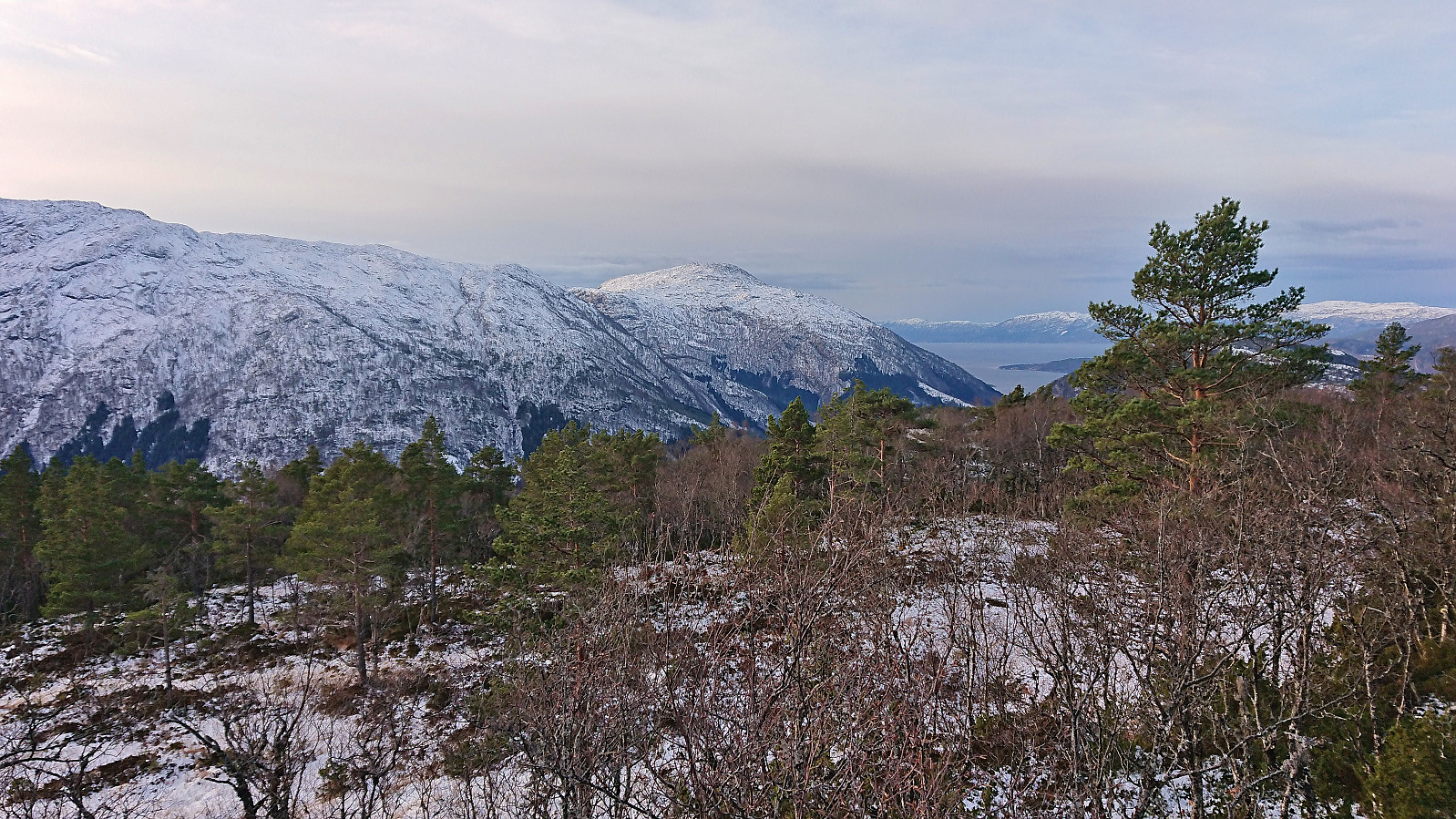
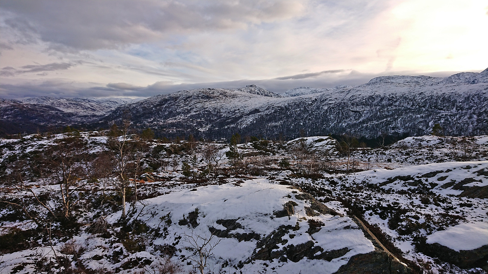
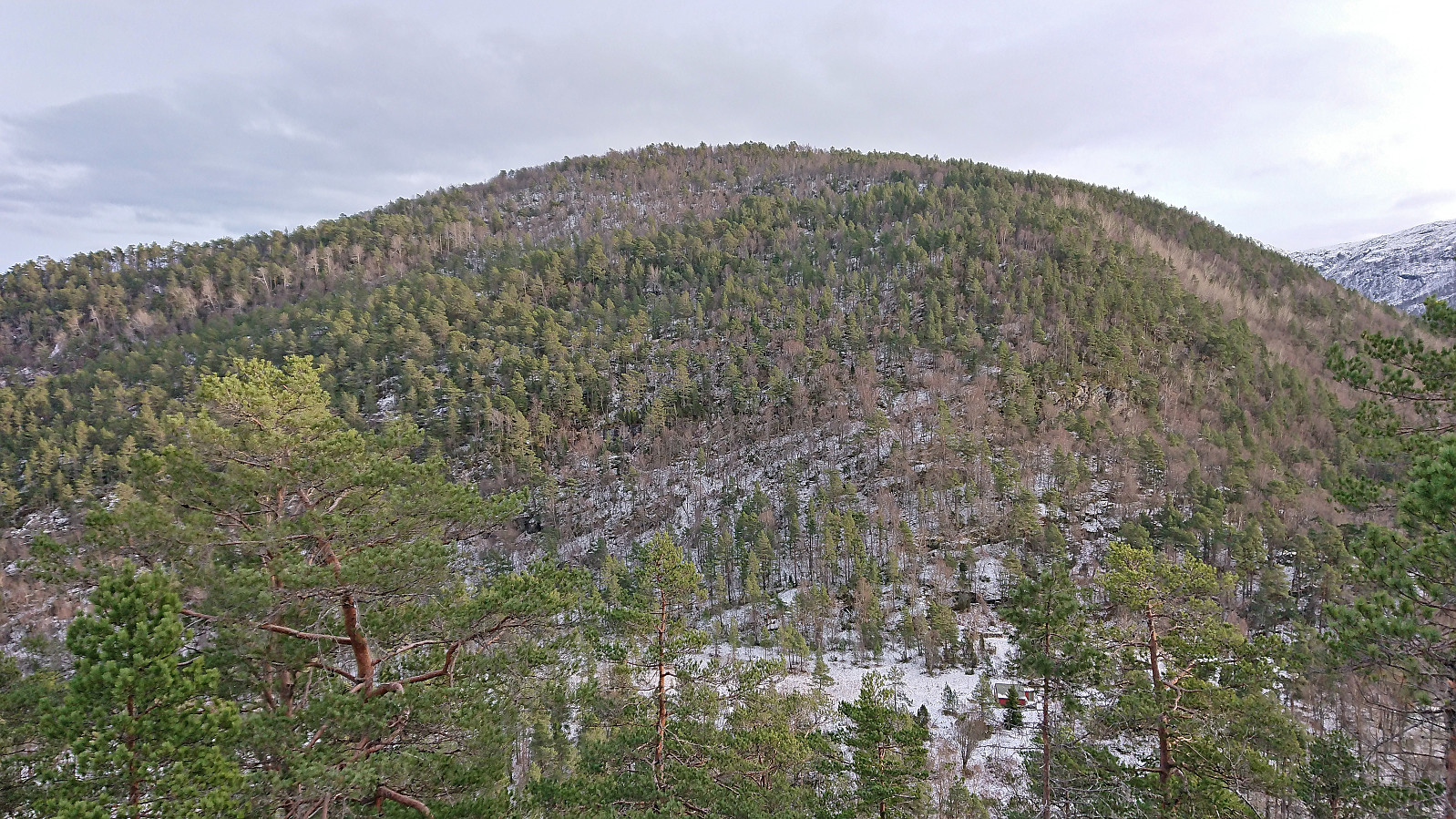
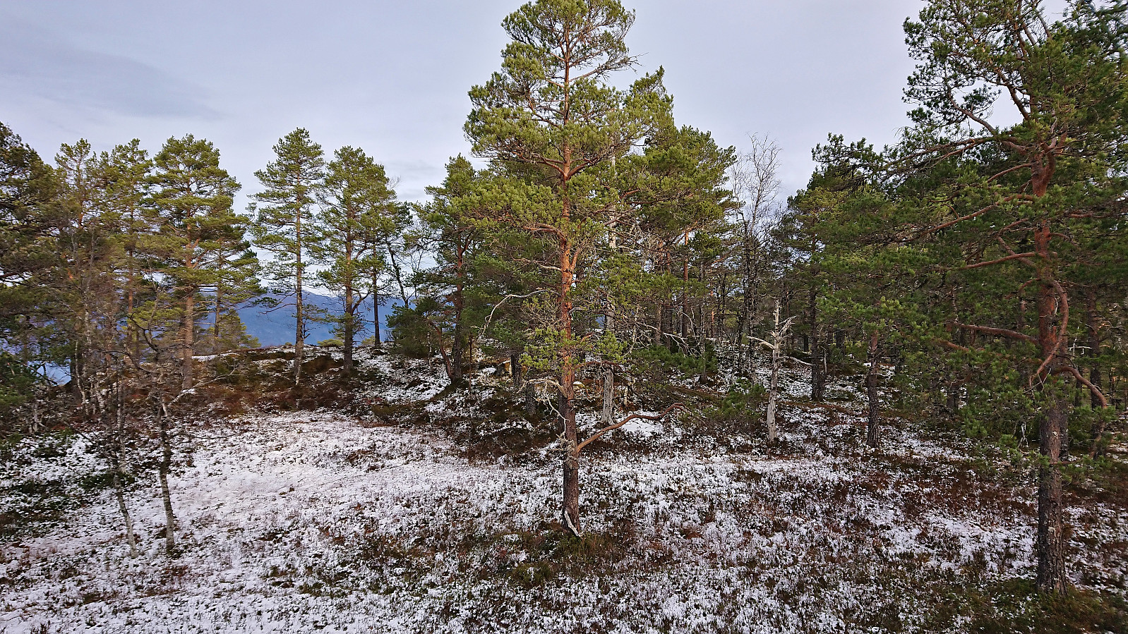
We parked the car and briefly followed the road northeast before turning north and heading off-trail in the direction of the summit of Gaddane. There was a marked trail in the valley called Djupadalen between the two summits, however as following it would result in a bit of detour we instead opted for the more direct ascent. This turned out to be straightforward and it did not take long before we arrived at the summit.
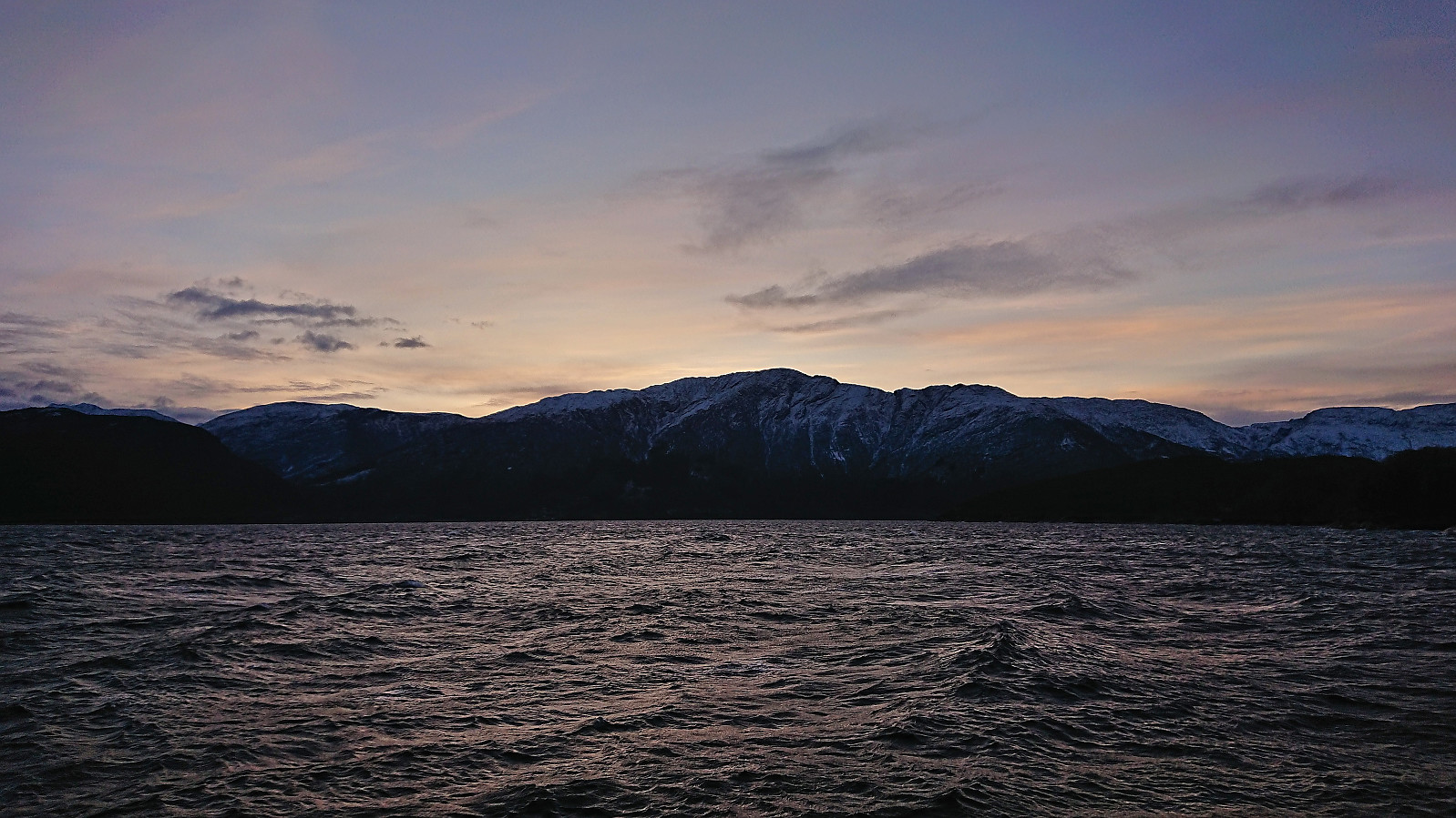
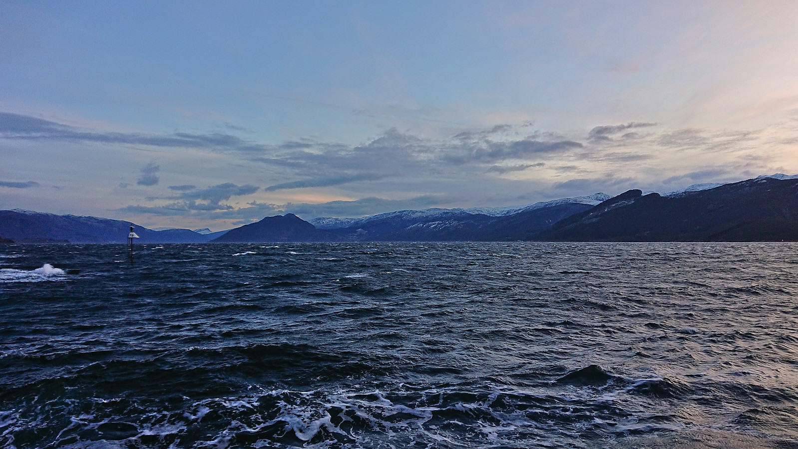
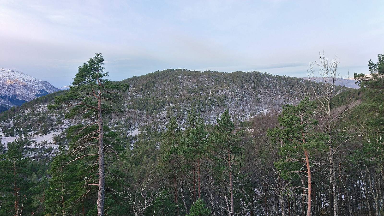
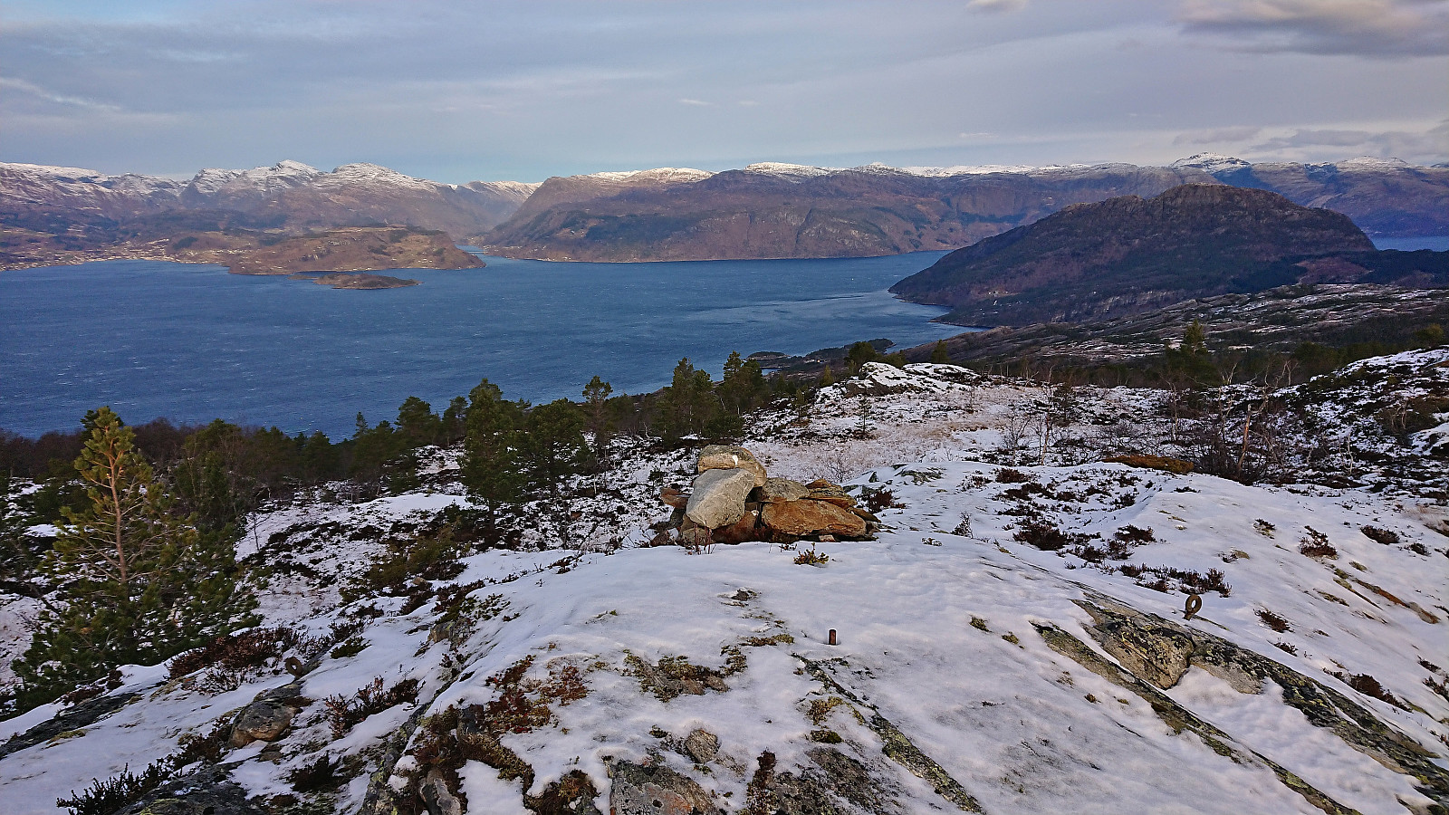
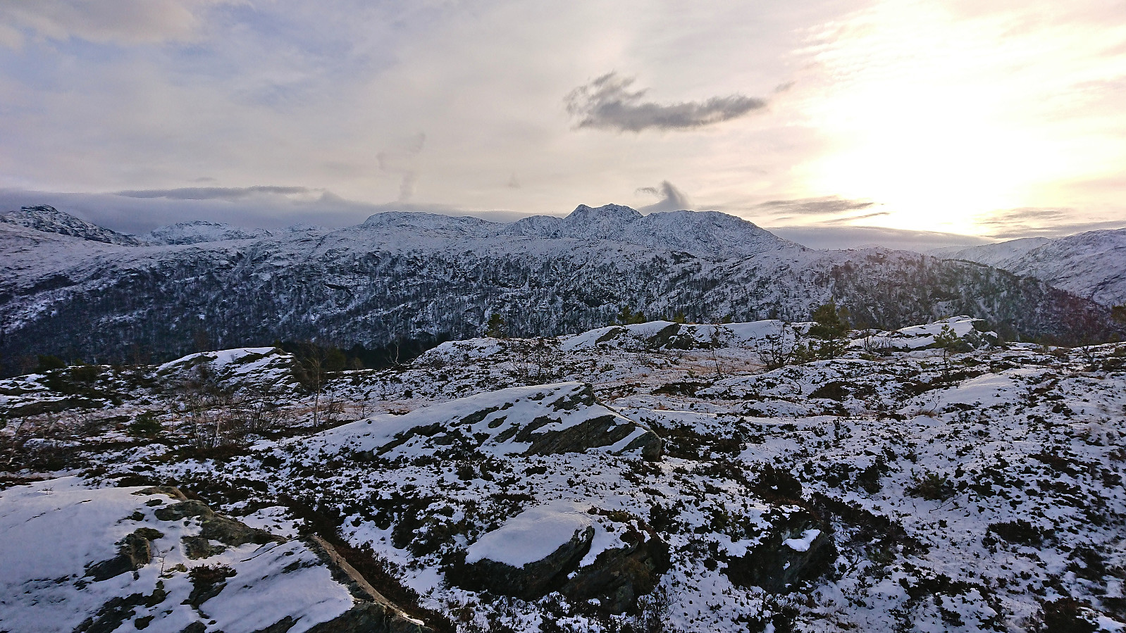
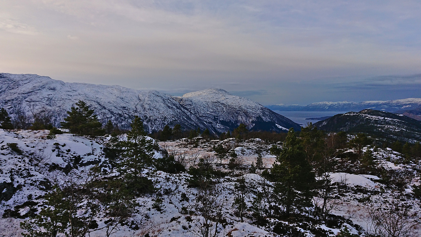
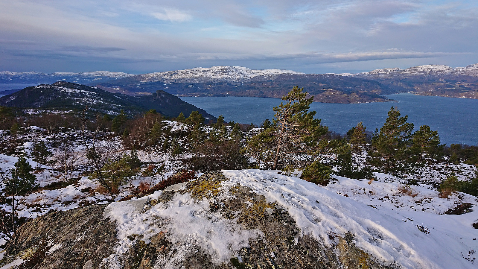
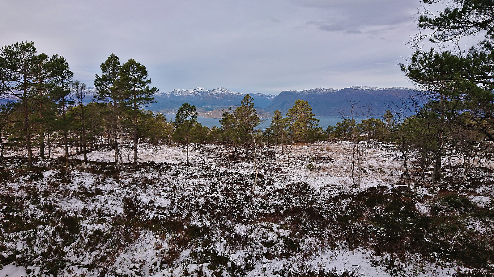
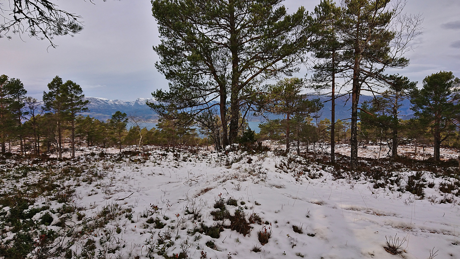
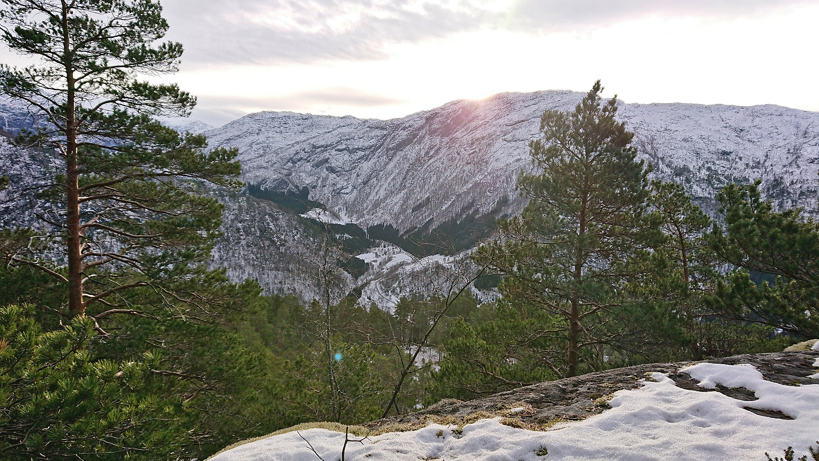
The summit provided an excellent panoramic view, perhaps most notably an outstanding overview of Hardangerfjorden, but due to a strong and cold wind we did not stay long before turning southwest and descending into Djupadalen. This required some easy pathfinding but did present any real challenges.
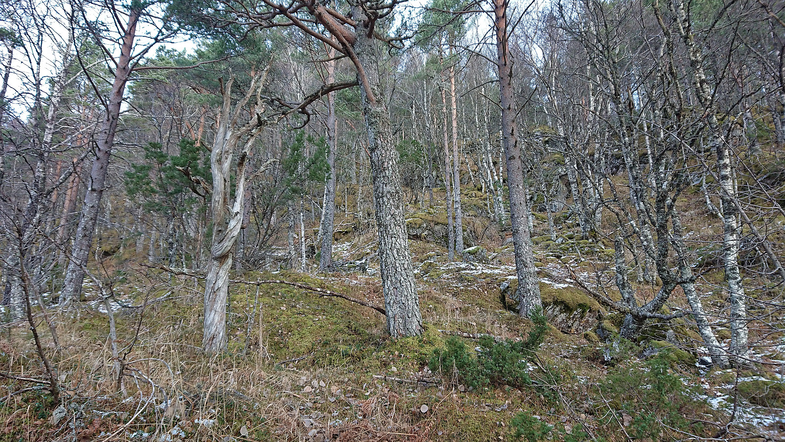
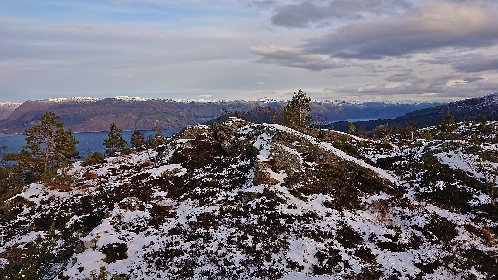
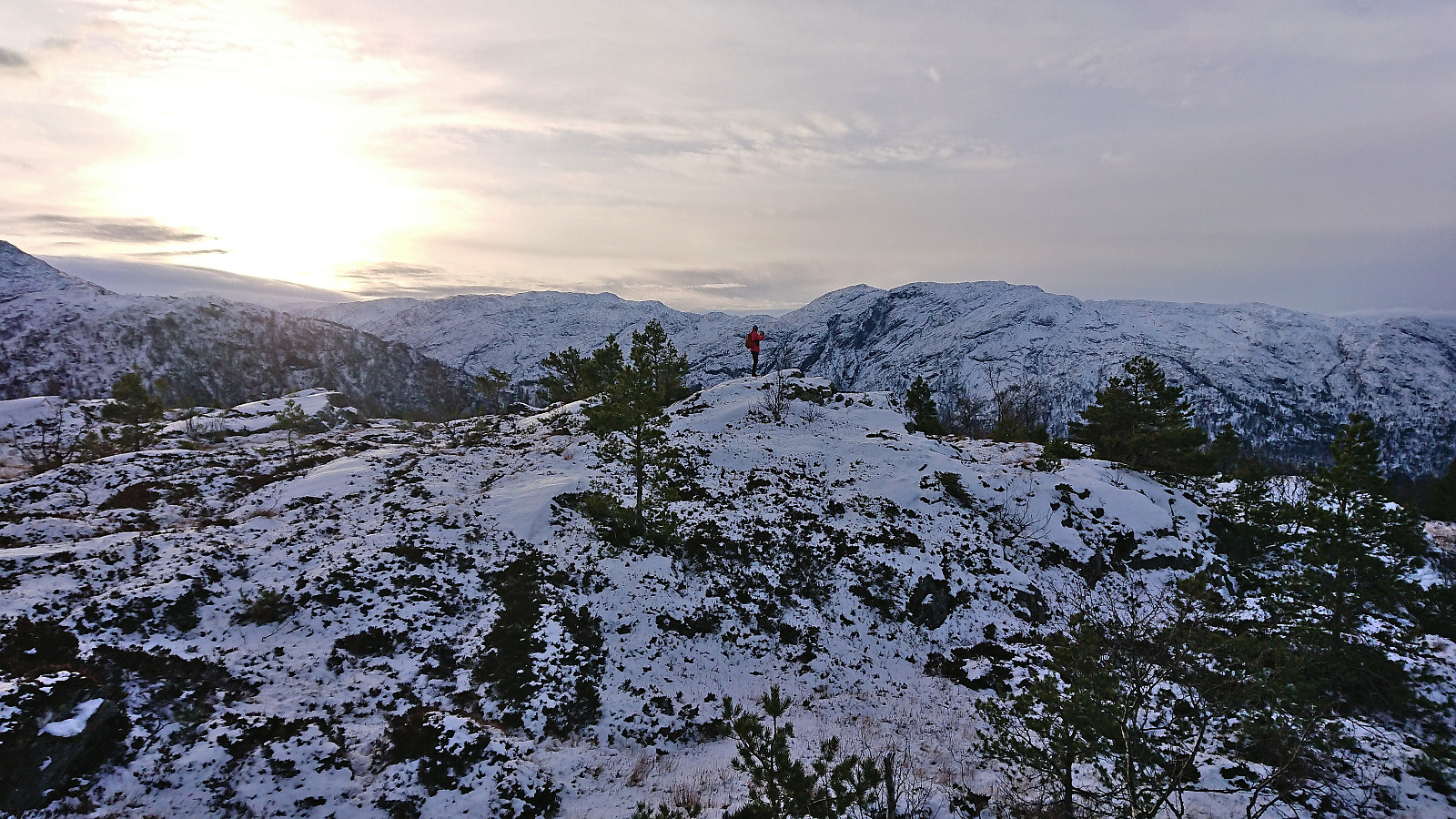
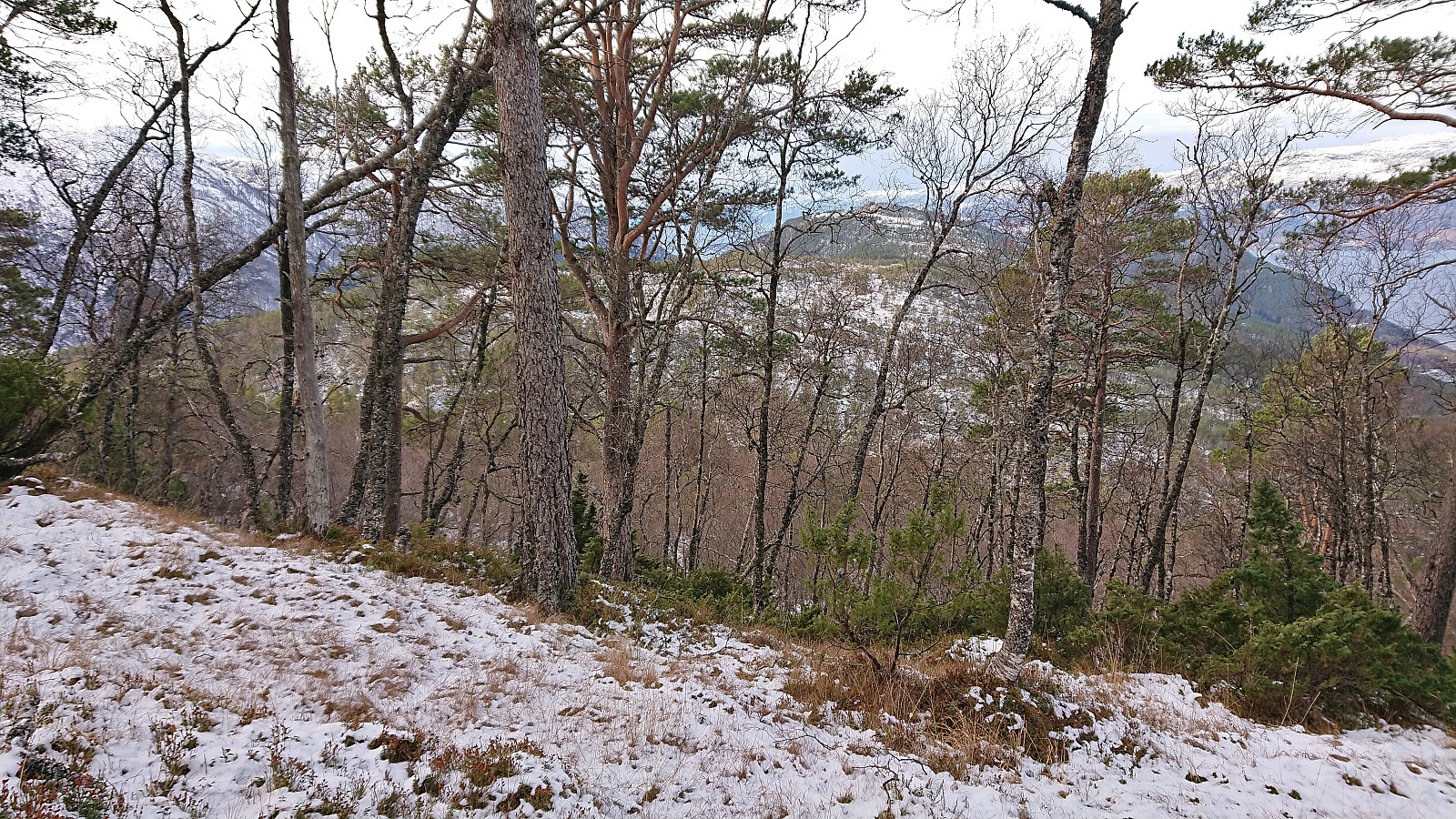
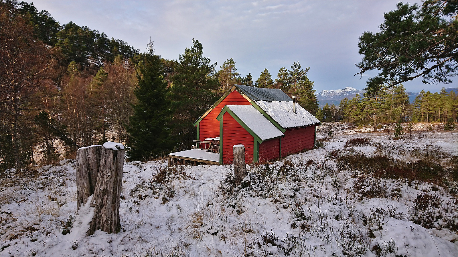
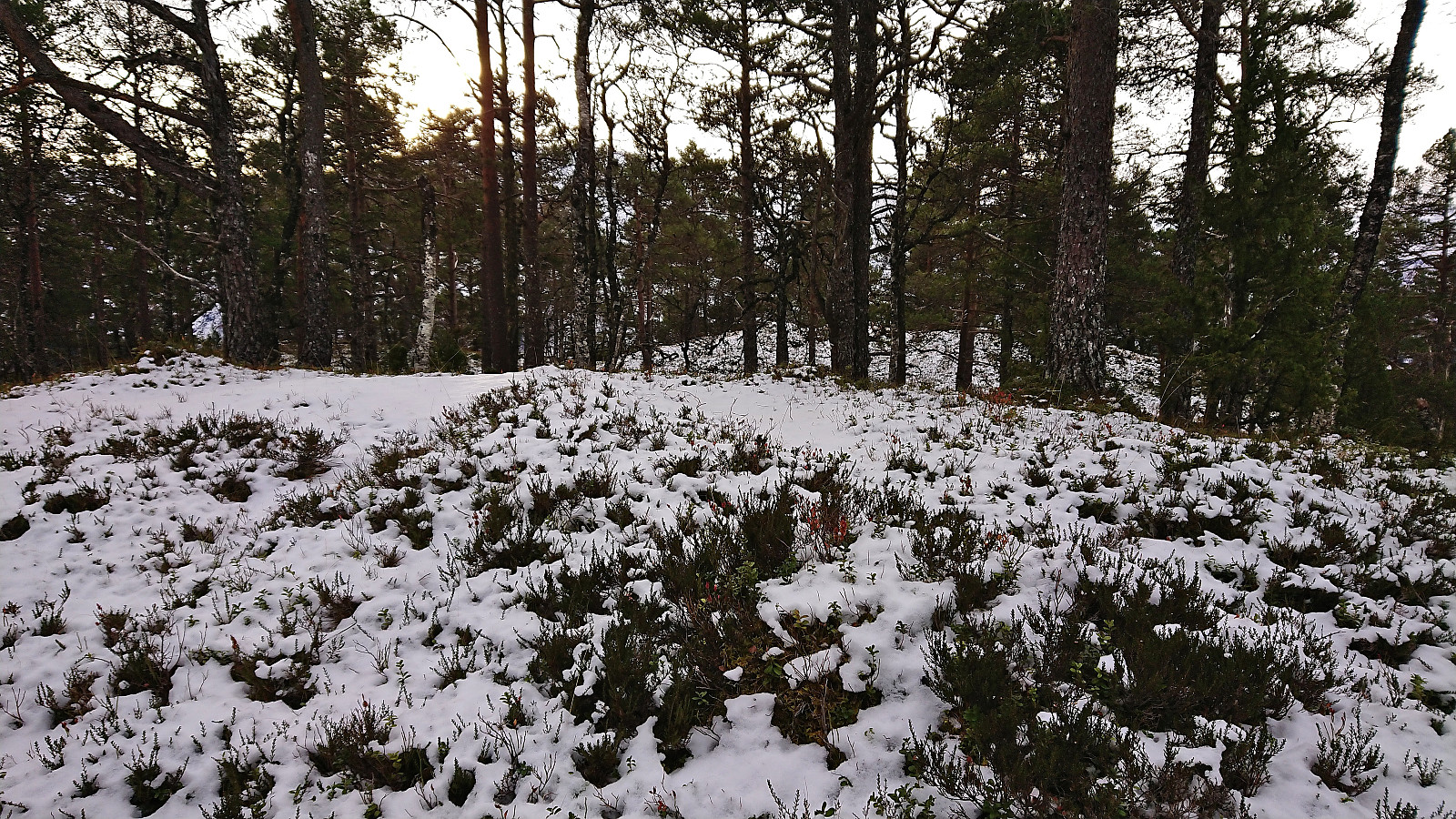
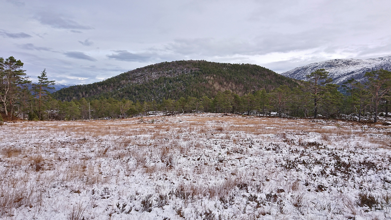
In Djupadalen we passed by the remaining buildings at Klepp before heading to the nearby highest point of the pass where we began our ascent to the summit of Hædna. Our route included a very short section early on where some very easy scrambling was required (due to ice covering the most likely even easier route). After that it was simply a matter of aiming for the summit and walking more or less in a straight line.
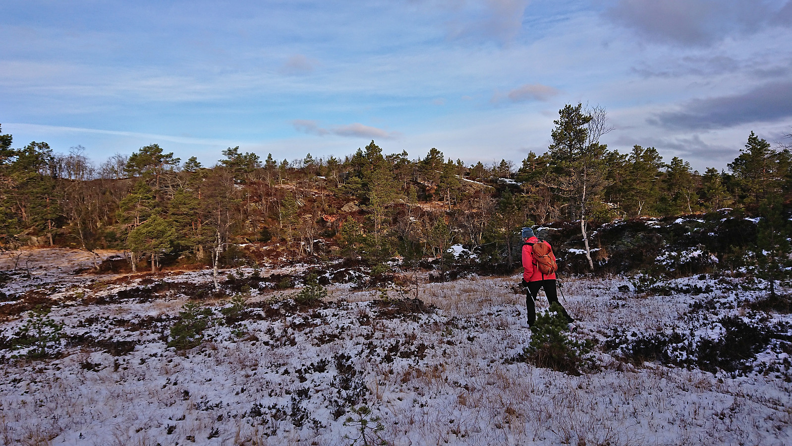
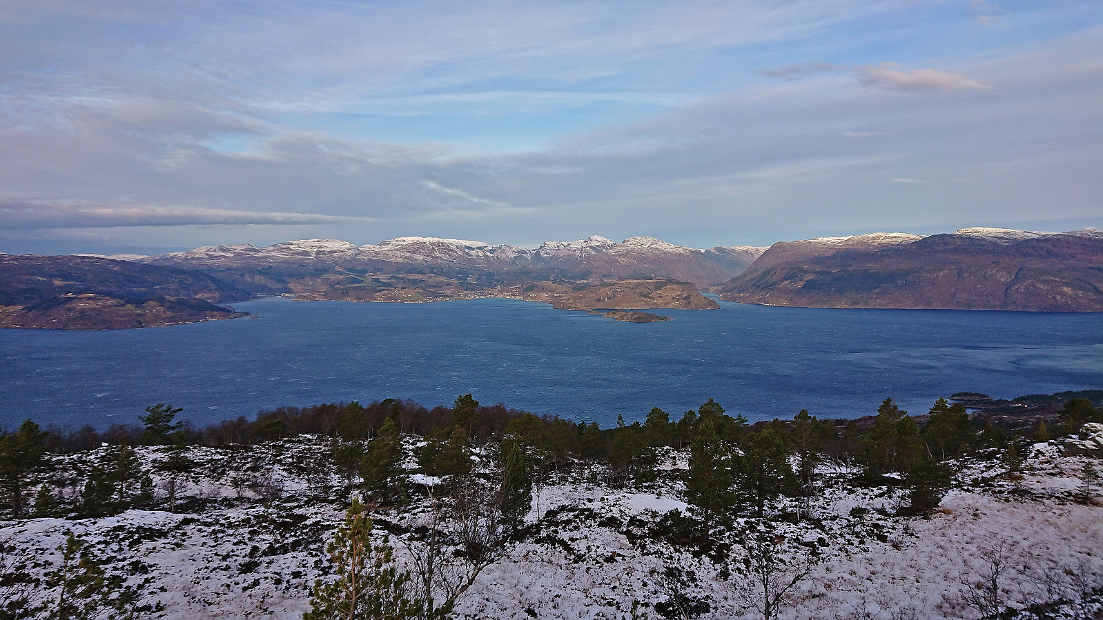
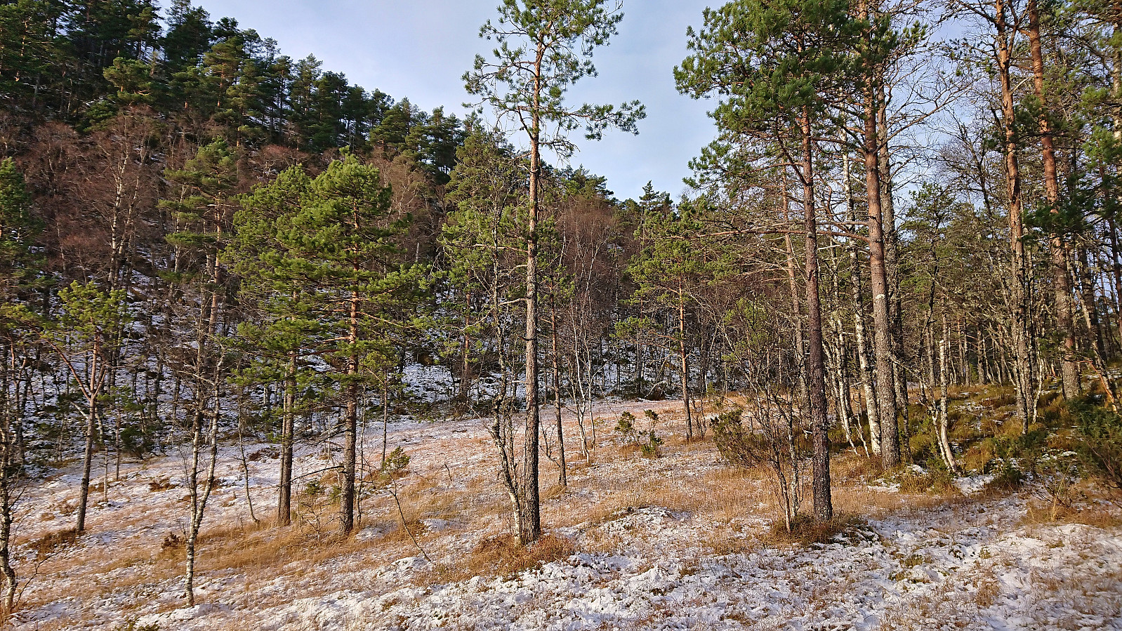
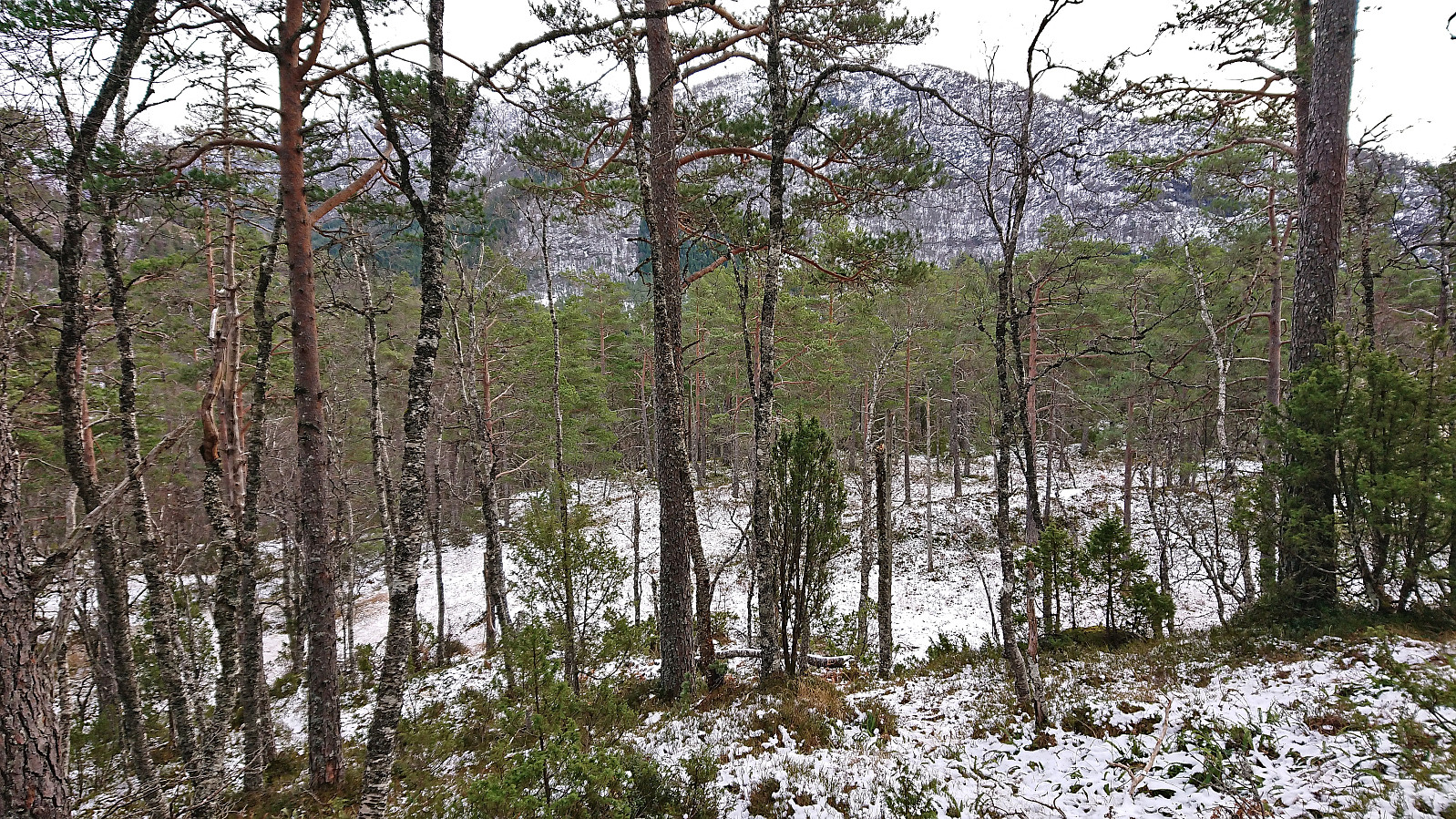
Compared to Gaddane, the views at Hædna were a bit of disappointment, however there were some views towards Hardangerfjorden in between the trees. After a couple of pictures we completed the loop by returning to the parking lot. The terrain here was overall easy to traverse and did not present any issues.
To conclude, a nice short hike with the views from Gaddane being the clear highlight. By paying the Vassendvegen toll fee and making use of the parking lot at 350 meters above sea level, both summits can also be very easily ascended. Takk for turen, Petter!
| Start date | 19.11.2023 09:35 (UTC+01:00) |
| End date | 19.11.2023 12:12 (UTC+01:00) |
| Total Time | 2h 37min |
| Moving Time | 2h 16min |
| Stopped Time | 0h 21min |
| Overall Average | 1.8km/h |
| Moving Average | 2.0km/h |
| Distance | 4.7km |
| Vertical meters | 438m |


User comments