Ørnafjellet and Austre Høghaugen (17.02.2024)

| Startsted | Gardstjørna (35moh) |
|---|---|
| Sluttsted | Gardstjørna (35moh) |
| Turtype | Fottur |
| Turlengde | 3t 30min |
| Distanse | 7,9km |
| Høydemeter | 412m |
| GPS |
|
| Bestigninger | Austre Høghaugen (95moh) | 17.02.2024 |
|---|---|---|
| Ørnafjellet (99moh) | 17.02.2024 |
Trip Summary
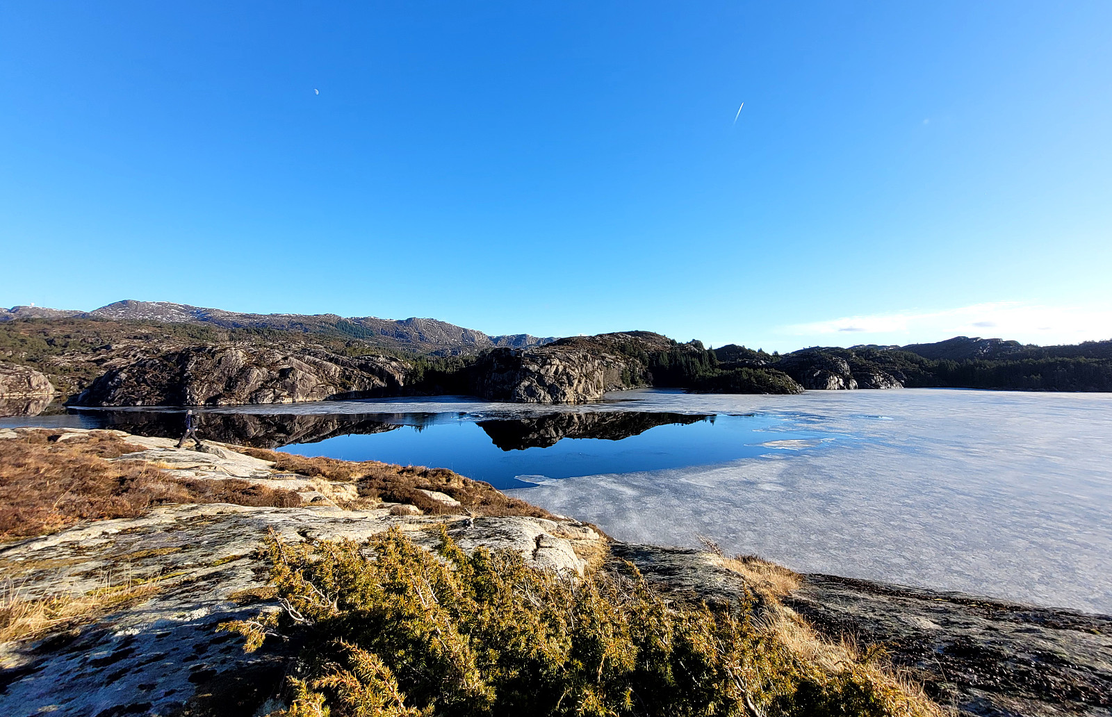
We expected some nice sun and decided to enjoy the day with an exploration of a part of Sotra that we had not visited before. We drove the car to Sotra and there to Fjell. South of Fjell, along Søre Fjellavegen and right next to Gardstjørna, we parked next to the road and started our hike, walking down a simple road towards Fjellspollen. Still on this road, we conveniently crossed over the waters, that spring down from Bosvatnet to Litlepollen, using the road-bridge. Studying the map at home had suggested that starting our ascent up to Ørnafjellet would be possible right from the road in the north of Litlepollen. Once there, however, we saw that the hill-side appeared a bit steeper than originally expected. Still, we could make it up to the heights in the north of Litlepollen without too much difficulty (no trail, though). Once a bit higher up, the continuation to Ørnafjellet was easy and nice (when crossing the one gentle valley that still separated us from Ørnafjellet, we just needed to find a way to get through some vegetation there -- also not too difficult, after all). Stepping up to Ørnafjellet was then very nice and also the views from up there are good (to Liatårnet in the east, for example, but also to Signalen in the north). From Ørnafjellet, we then wished to connect to Austre Høghaugen a bit further south. Stepping down from Ørnafjellet was not difficult and (to our surprise!) we then found a trail, leading into the right direction! :-) After following this trail for a short stretch, however, we decided that we also wished to include a minor hill, right between Ørnafjellet in the north and Austre Høghaugen in the south. Once up there, we found a very nice spot on top of its southwest-facing cliff with nice views across Høghaugdalen. To get over to Austre Høghaugen, however, we needed to cross Høghaugdalen and getting first down as well as then getting back up on the other side was a bit of a challenge due to rather dense vegetation and some steep places. Once on Austre Høghaugen, however, we enjoyed very nice views, again, especially towards the south. After a nice chat with a couple, who explained to us the major efforts that they (with others) were putting into improving the trails in this area, we continued our hike, first towards another hill in the northwest of Austre Høghaugen (also with nice views). From there, we then wished to head southwards in order to explore Selvågneset before turning back. Near Austre Høghaugen, we exploited the nice trails there, before then continuing further southwards without a trail. Near Orramyra, however, we came across some old trails, again, with one even helping us nicely up a north-facing cliff. Back on the heights of this peninsula (between Fjellspollen on the one side and Selvågen on the other), we continued further southwards, finding a nice resting place there (with a wooden shelter, maybe built as a place where one can go with kids, also). From there, we then "just" finished our way "south" until we came to the southern-most tip of Selvågneset. Then, our plan was to return back to Litlepollen and thus we started to walk in this direction, following along the eastern side of the peninsula. Avoiding the steeper sections towards the shoreline of Fjellspollen, we connected back to one of the trails in the south of Orramyra. Following one of them down, in eastward direction, to Fjellspollen, we (wrongly) thought that we could find a connection to Litlepollen along the shoreline there. After understanding our situation, we almost turned around, already, but then saw an Otter in the waters of Fjellspollen. Since we rarely see any Otters around Bergen, we first appreciated the sight before thinking more about how to continue. Even though the "way north" looked very steep, we still got the impression that it was possible to make it up there (which it was). Next, we wanted to get around Rapovnen to indeed connect with the trail down to Litlepollen. Trying to avoid regions with all-too-much vegetation, we stayed on some higher ground, connecting back with the trail in the southwest of Rapovnen. Once there, we decided to also include a short detour to the top, there. Back down on the trail, we then first missed the junction, where the trail to Litlepollen forks off, following the nicely refurbished trail into Høghaugdalen (and a bit up on the other side). Instead of trying a descent to Litlepollen off trail there, we instead headed back a few meters and then followed the (old) trail down to Litlepollen. There, we ended up on the road that we had originally used (down from Gardtjørna) and so it was then straight-forward to get back to our starting point.
Photos
Selected photos are available as Google photo album.
Useful Resources
See also the related FB-page Hiking around Bergen, Norway.

Kommentarer