Archive - Date
Archive - Activity
-
Climbing (43)
- Alpine climbing (31)
- Ice climbing (3)
- Mixed climbing (1)
- Sport climbing (3)
- Via ferrata (1)
-
Other trip (5)
- Expedition (5)
-
Other winter trip (5)
- Snowshoe trip (5)
-
Ski trip (441)
- Backcountry skiing (4)
- Cross-country skiing (2)
- Randonnée/Telemark (433)
-
Trip by foot (506)
- Alpine trip (47)
- Hike (195)
- Hillwalk (205)
- Jogging (4)
- Walk (55)
Peakbook-Friends


Fløya
- Date:
- 28.08.2018
- Characteristic:
- Walk
- Duration:
- 1:23h
- Distance:
- 6.6km
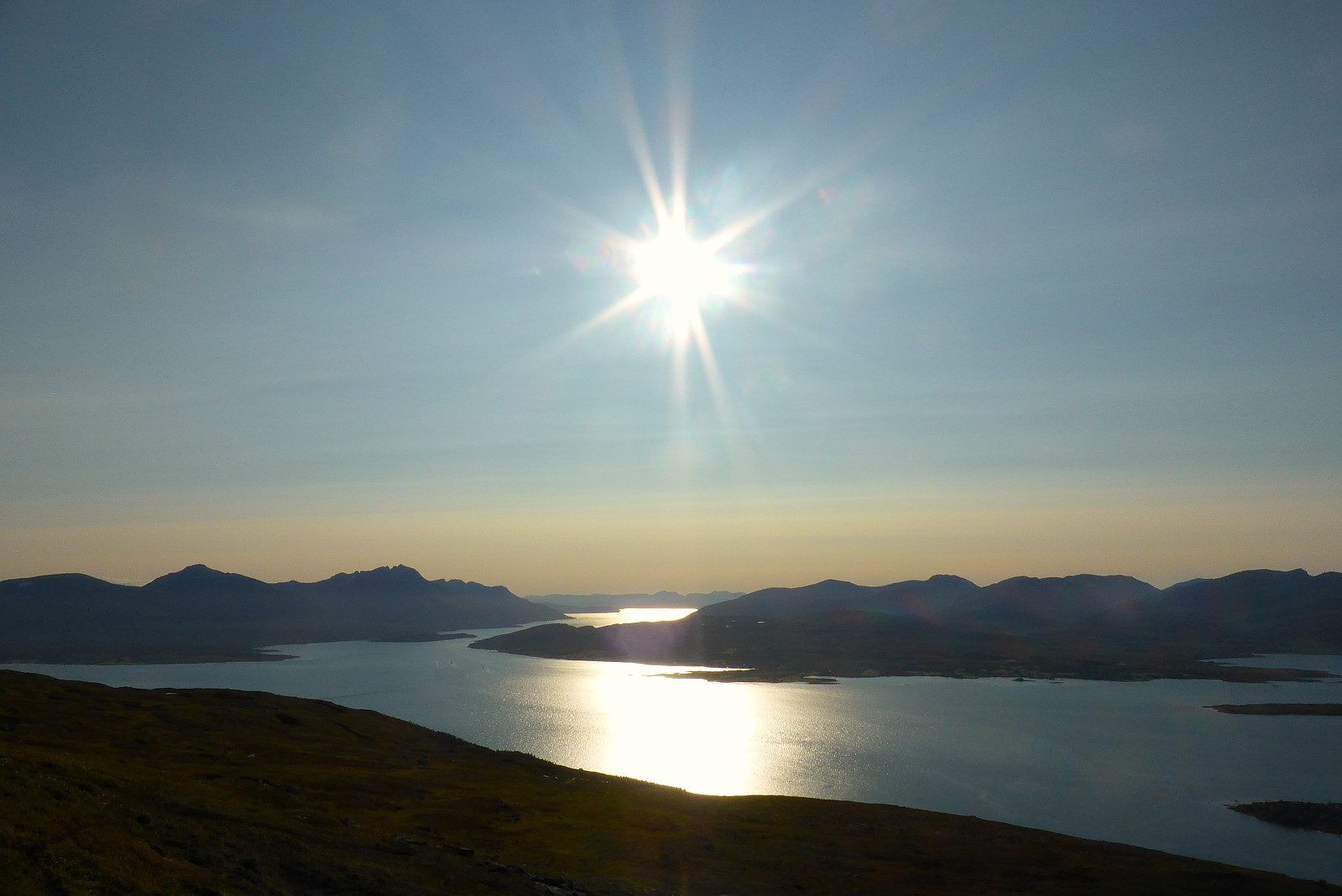 Rolig tur etter jobb. Fortsatt forkjølet og uten stemme! :(
Buren
- Date:
- 26.08.2018
- Characteristic:
- Hillwalk
- Duration:
- 2:45h
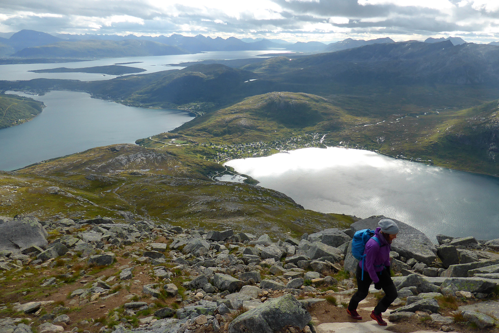 Skulle vært en tur til Hamperokken i dag men jeg sov dårlig etter å ha hostet gjennom mesteparten av natta så da ble det en rolig tur til Buren med Renate istedet.
Tromsø Mountain Half Ultra
- Date:
- 25.08.2018
- Characteristic:
- Jogging
- Duration:
- 3:08h
- Distance:
- 25.1km
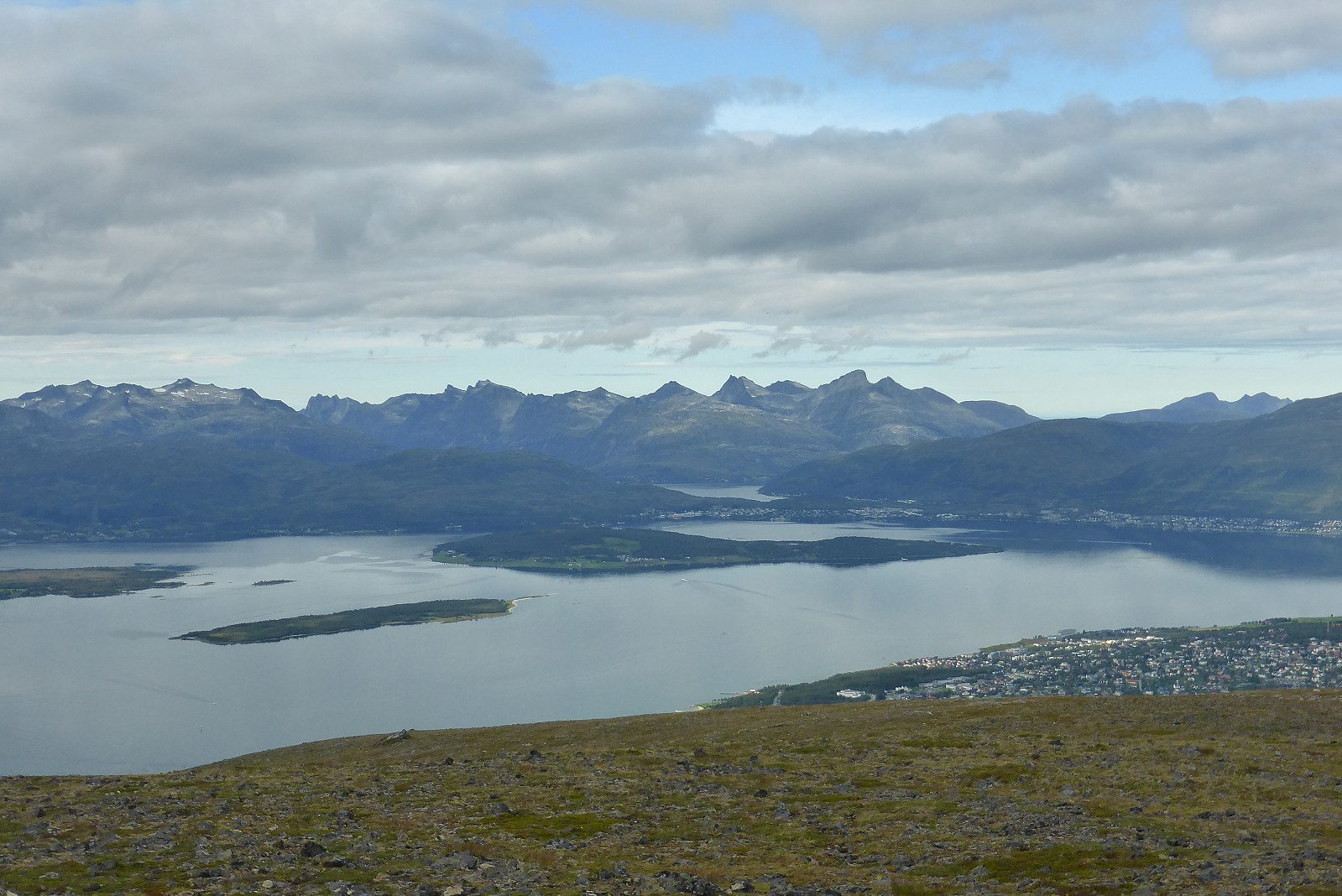 Ganske tungt å jogge når man er forkjølet og har vondt i ryggen! Men det var likevel ei fin løype, behagelig temperatur for jogging og jeg rakk akkurat å komme i mål før det regnet. Satser på å komme sterkere tilbake neste år :)
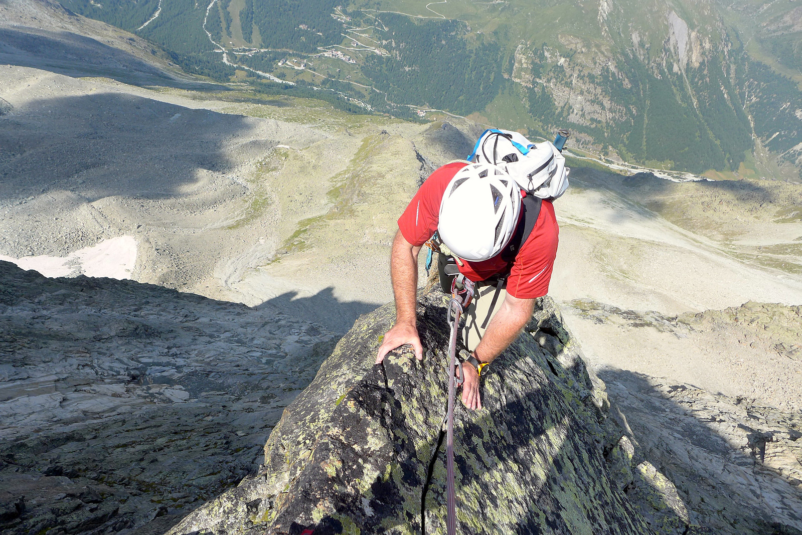
Ober Gabelhorn
- Date:
- 15.08.2018
- Characteristic:
- Alpine climbing
- Duration:
- 12:00h
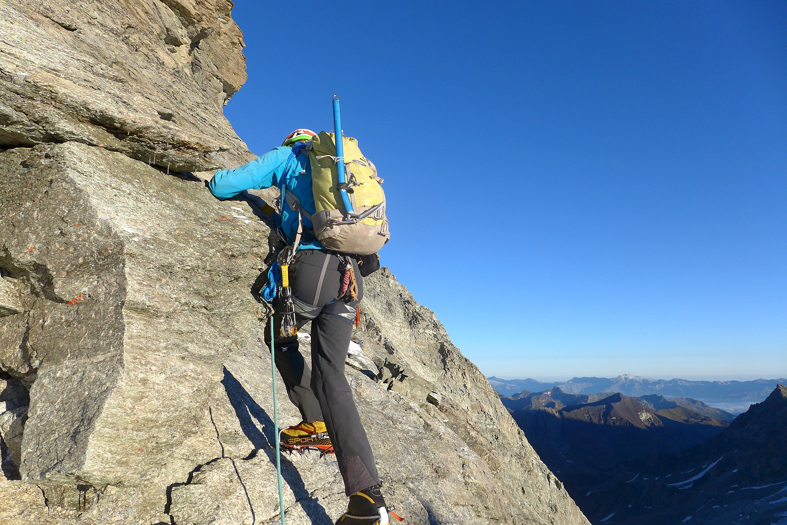 The weather was pretty wet on the Monday after we’d done the Gastlosen traverse, so we had ended up doing two short climbs at Bramois just outside of Sion and then going to the nearest cafe to plan the remainder of the week. Basically the weather was going to still be a little damp on Tuesday but both Wednesday and Thursday were looking good with a fairly high degree of certainty on meteoblue.com. The logical thing to do (in my mind at least) was to go to a hut where we could do two days of climbing and make the most of the good weather days, and the Rothorn hut seemed like the perfect solution since it gives access to both the Ober Gabelhorn and Zinalrothorn, two beautiful (and pointy) 4000m peaks which I have wanted to climb for much too long! The north face of the Ober Gabelhorn is a particularly >>>
Gastlosen traverse
- Date:
- 12.08.2018
- Characteristic:
- Alpine trip
- Duration:
- 6:00h
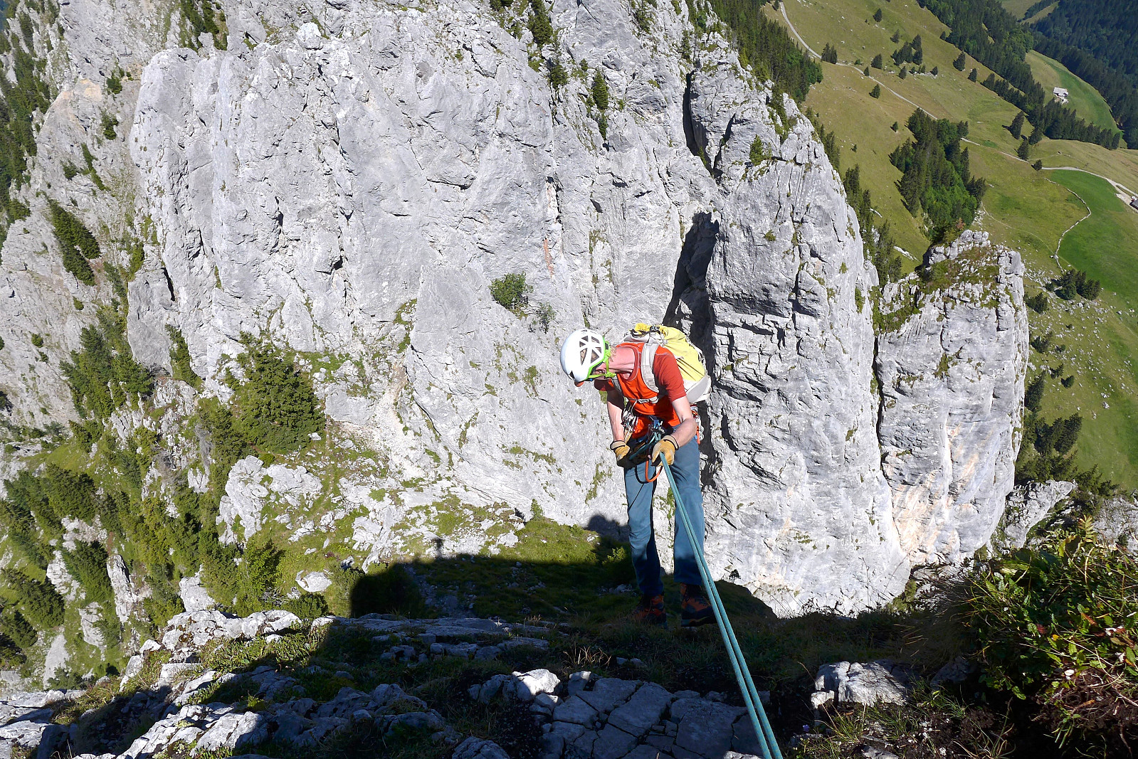 The start of the second week in the Alps started off sunny and warm again and initially the plan had been to drive over to Zermatt, climb Pollux and sleep at the Ayas hut, then do the Breithorn traverse the next morning if the weather was good enough. Unfortunately the weather forecast changed and now there was only going to be good weather on the Sunday, so it seemed a bit pointless to spend 100 Swiss francs on the Klein Matterhorn lift just for a day trip to Pollux. So the backup plan was to drive to the north side of the Rhone valley and do the Gastlosen traverse, which is an impressive row of jagged limestone peaks that seem to jump out of the green rolling hillside from nowhere. This week I was climbing with John, another British mountain guide and keen rock climber originally from Ireland >>>
Jegihorn
- Date:
- 10.08.2018
- Characteristic:
- Sport climbing
- Duration:
- 4:00h
 For the final day of the week climbing with Tim we left Evolene at 7.30am and headed over to Saas Grund to do a quick climb up the Jegihorn. Well, actually the intention was never to make it a quick climb, but that's how it turned out anyway. After driving through thick valley fog for most of the way we were still optimistic that the weather would be much better up high (assuming the webcam at Hohsaas we had checked was not from a previous sunny day!) and after getting off at Kreuzboden (ca. 2400m) we were met by somewhat better visibility and the odd glimpse of blue sky. In any case it was a very pleasant temperature to walk to the base of the climbing routes in. I think we used around an hour to do the approach walk (about 500m elevation gain) in a relaxed pace.
Once we arrived at the foot >>>
For the final day of the week climbing with Tim we left Evolene at 7.30am and headed over to Saas Grund to do a quick climb up the Jegihorn. Well, actually the intention was never to make it a quick climb, but that's how it turned out anyway. After driving through thick valley fog for most of the way we were still optimistic that the weather would be much better up high (assuming the webcam at Hohsaas we had checked was not from a previous sunny day!) and after getting off at Kreuzboden (ca. 2400m) we were met by somewhat better visibility and the odd glimpse of blue sky. In any case it was a very pleasant temperature to walk to the base of the climbing routes in. I think we used around an hour to do the approach walk (about 500m elevation gain) in a relaxed pace.
Once we arrived at the foot >>>
Grand Combin
- Date:
- 09.08.2018
- Characteristic:
- Alpine climbing
- Duration:
- 7:45h
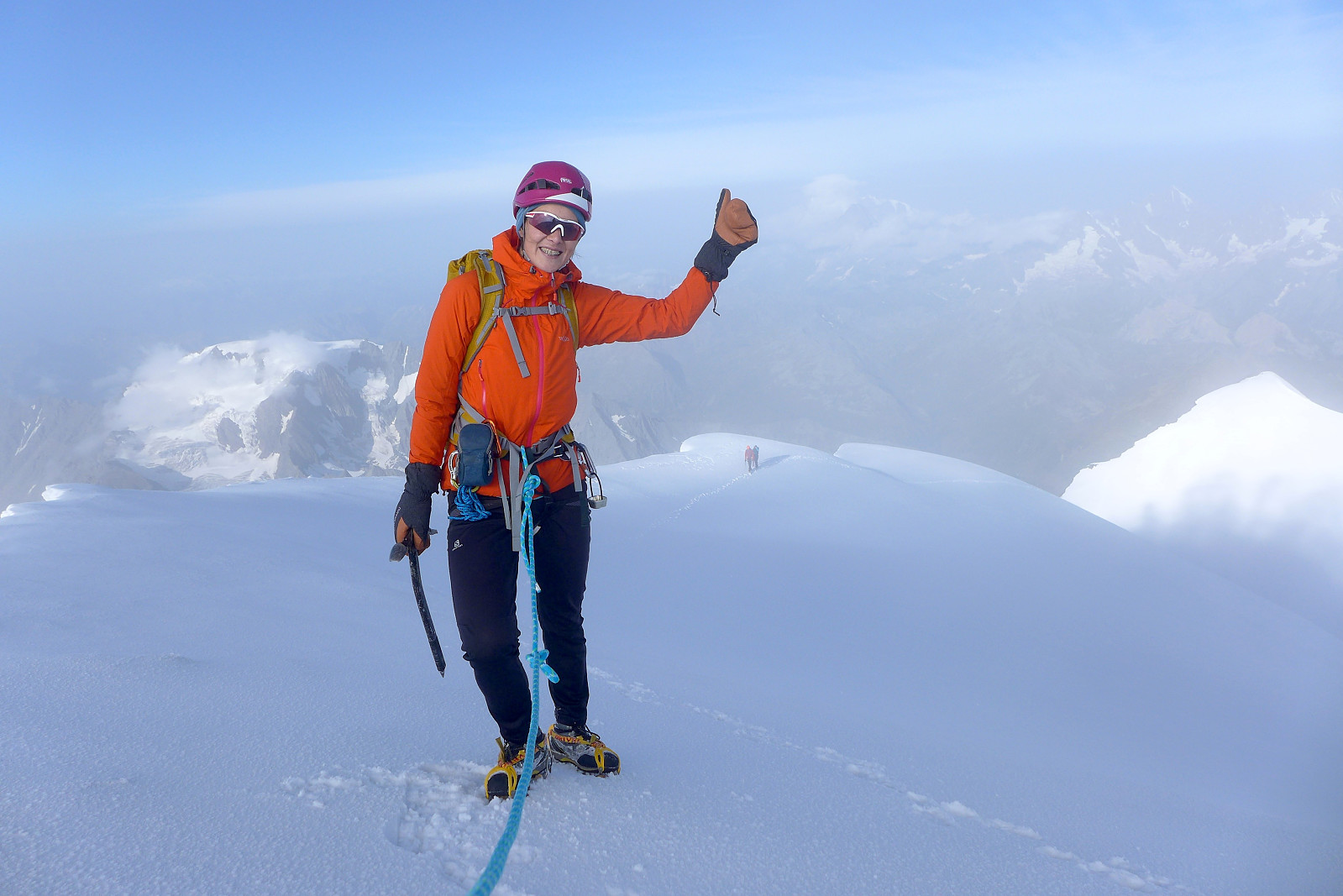 The Grand Combin ended up being the major summit of the week climbing with Tim and we were also joined by Janine and aspirant mountain guide Jack. It was nice to have another female for company, although when the other female has previously been on the British skimo racing team it made me a bit nervous about the pace we’d be hiking up to the Valsorey hut in ;) We left Evolene at around 9am on the wednesday and stopped at Martigny to pick up Jack before continuing the journey up to Bourg St. Bernard where the trail to the hut starts. With about 1200m of height gain it’s regarded as one of the "longer" hut walks and fortunately that means it also ends up being quieter. There was only a group of three female hikers and another couple other than us staying at the hut that evening. >>>
Aiguille Sans Nom
- Date:
- 07.08.2018
- Characteristic:
- Alpine climbing
- Duration:
- 8:30h
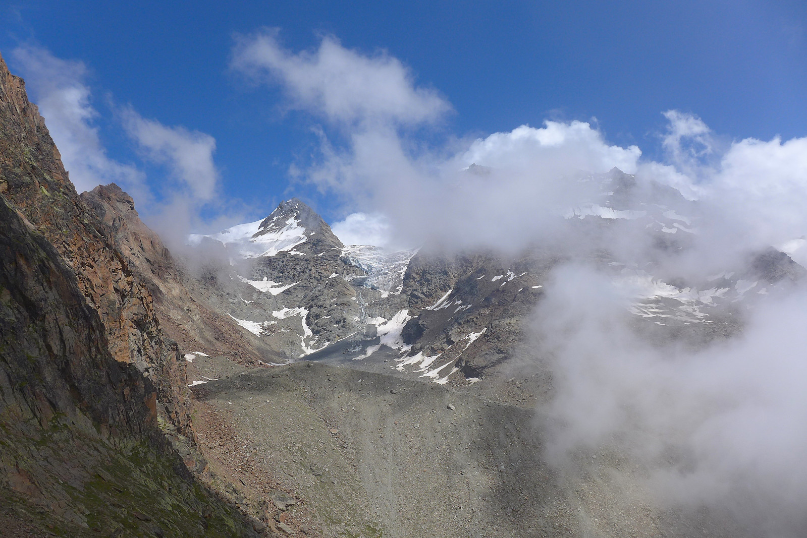
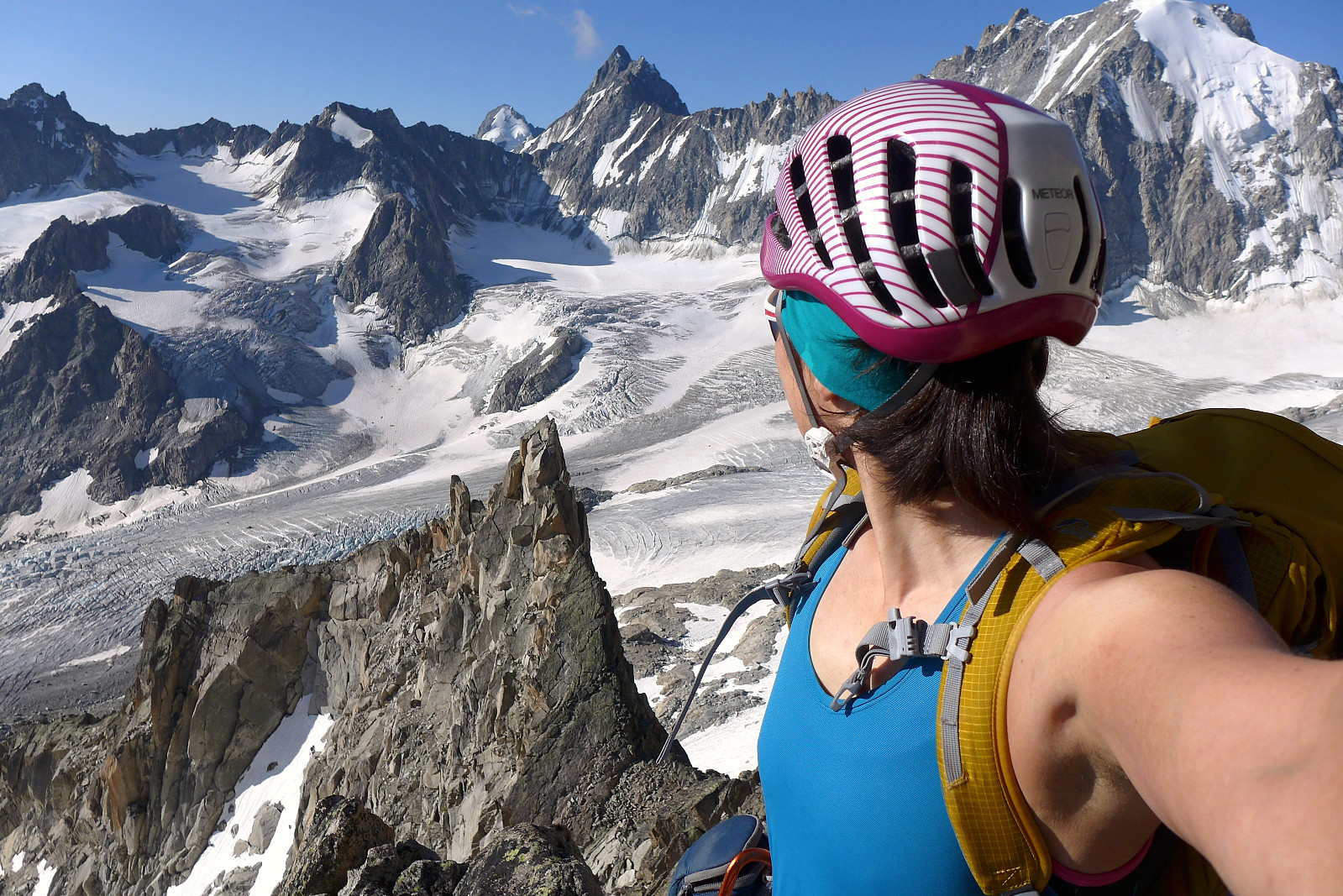 After our day trip to Pointe de Tsalion the weather forecast was checked again and the conclusion was still the same as before; fine in the mornings but high likelihood of heavy rain and thunderstorms in the afternoons. Tuesday morning wasn’t looking too great either so we made a decision to head for the Orny hut where there were numerous options for less committing and shorter climbs than compared with for example a 4000m peak. I’d stayed at the Orny hut once before and I guess it’s pleasant enough with easy access from the lift at Champex-Lac and there is plenty of climbing to do close to the hut and also further up the valley around the Trient plateau. We had in mind to do the south ridge of the Aiguille Sans Nom (3444m), one of several tops in the Aiguilles Dorées (translates into >>>
Pointe de Tsalion
- Date:
- 05.08.2018
- Characteristic:
- Alpine climbing
- Duration:
- 11:00h
 For the past 5 years I have tended to spend my annual summer holiday in the Alps climbing with a guide and in keeping with tradition I did the same this year with Evolene as the main base for 2 weeks. I’d been paired up with David for the first half of the week and British mountain guide Tim Neill. David’s climbing CV was probably at least 5 times longer than mine so it was going to prove a challenge to decide on climbing objectives to do which he hadn’t already done! With somewhat unstable weather forecasted for the week we ended up making the most of the good weather for our first day and headed off to Arolla at 6am to do a day trip up Pointe de Tsalion and climb the route Voie de la Cabane (D-), which basically follows a not-so-prominent spine that goes up the west side of the mountain. >>>

